For almost 150 years, Aoineadh Mòr slumbered unnoticed in the forest of Morvern. Forestry workers discovered it, and today the village tells its sad story.
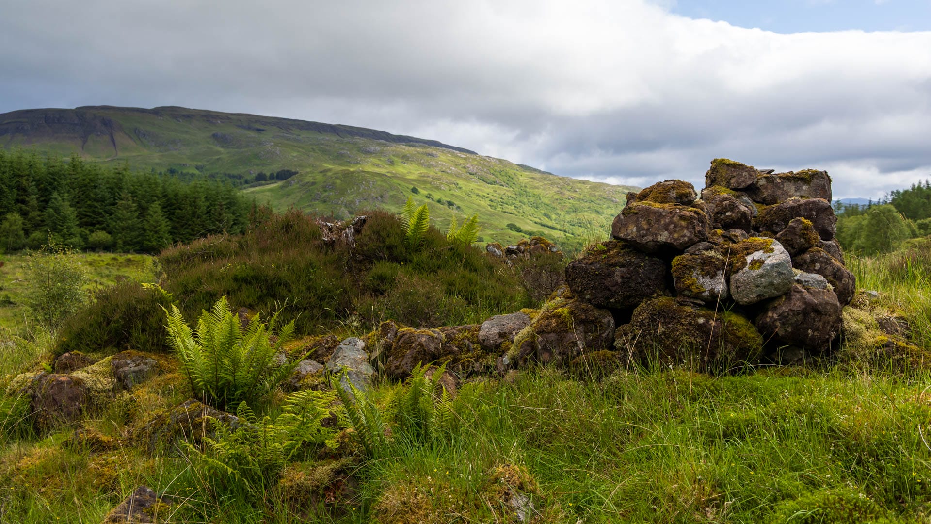
It’s an idyllic spot: a wide meadow flanked by a clear stream, surrounded by forest. In the distance lie two large lochs, and behind rises a mountain. An ideal place for a village. An ideal place for Aoineadh Mòr. Unfortunately, also an ideal place for sheep farming.
Because there’s a reason why only ruins remain today, where families once lived their simple lives. And that reason is called Christina Stewart. In 1824 she bought the land and had all its inhabitants driven out of their homes.
Stewart herself never set foot on the land, but settled her sheep farming there instead. A typical case from the era of the Highland Clearances (currently only available in German).
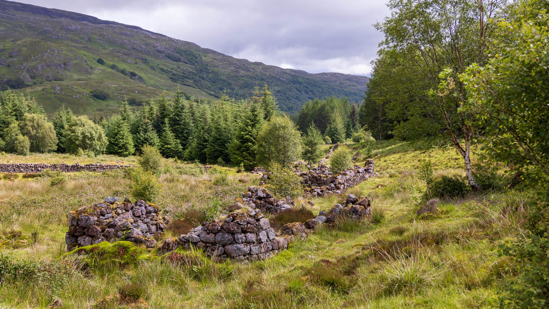
The eyewitness Mary Cameron told this story to a minister in Glasgow, who wrote it down: “The hissing of the fire on the hearth, as they put it out, went to my heart. We could not even get a cottage on the land; so we had nothing left but to turn to the land of strangers.”
The inhabitants set off over the surrounding mountains without spending another night in Aoineadh Mòr, leaving the Highlands forever.
Mary’s father James carried his frail mother on his back up the path. When they looked back for the last time from a rise, parts of the houses had already been dismantled.
Aoineadh Mòr fell into a sleeping-beauty slumber that lasted 150 years. Older maps had always shown the buildings, and in 1994 the Scottish Forestry Commission decided to fell the trees growing there. In doing so, they carefully uncovered the village.
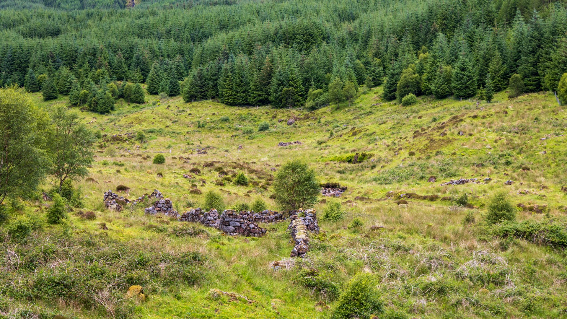
Today, visitors can get a sense of life back then with a short walk.
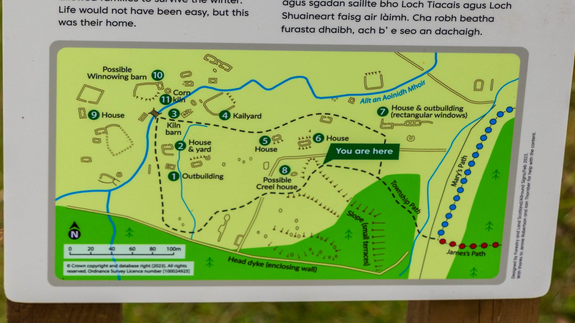
Information boards explain where the houses, byres, fields and turf dyke once stood. Many buildings can still be made out as stone outlines.
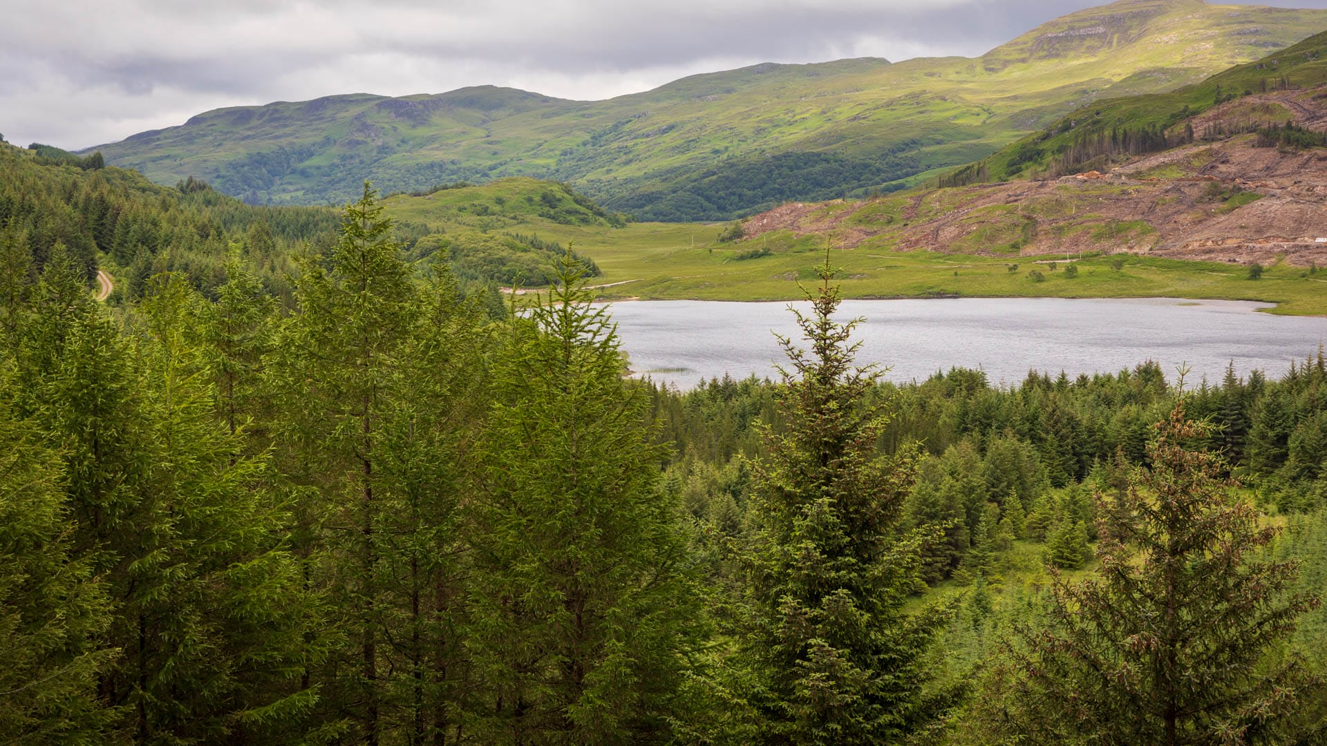
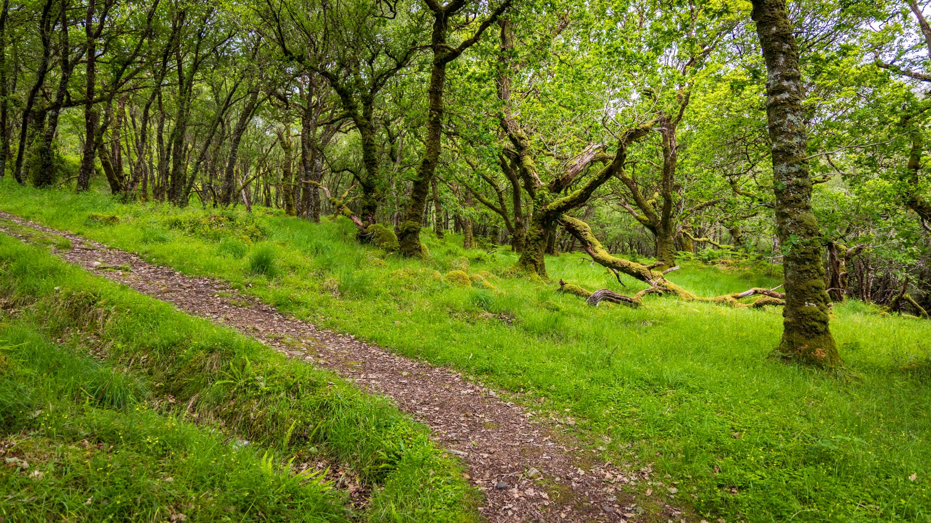
It’s also worth taking the path through the forest for the view of the two lochs, Loch Doire nam Mart and Loch Arienas.
Tour description: The way to Aoineadh Mòr
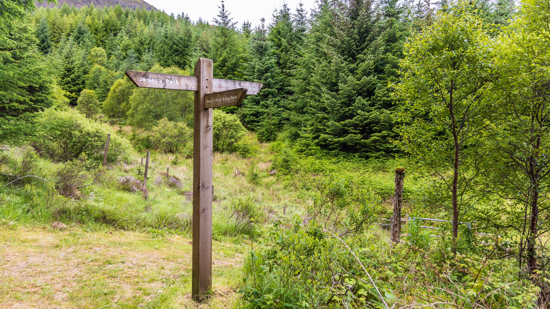
Several circular routes can be chosen from the car park. Our tour was just under four kilometres long and took about an hour and 15 minutes. Partly because we took plenty of time on site to look at the ruins.
There are two paths: “Mary’s Path” commemorates Mary Cameron and her story, “James’ Path” her father. We combined both a little.
You are currently viewing a placeholder content from Google Maps. To access the actual content, click the button below. Please note that doing so will share data with third-party providers.
More InformationAs the route goes through forest and across meadows, and also uphill in places, sturdy shoes are recommended. The path is well marked with signs at the junctions.
Good to know: The names of the area
Aoineadh Mòr roughly means “great (rocky) headland”. In English it’s usually rendered “Inniermore”, or in older versions “Unnimore”. Both are none-too-successful attempts to carry the Gaelic sounds over into English. In German spelling it could best be pronounced something like “Öinjeg Moor” (the German Ö does in fact come closer to the sound, which is why English speakers struggle more with Gaelic than some Germans do).
“Loch Doire nam Mart” probably means “loch of the little wood of cattle”.
Getting there
With a sat nav: “PA34 5XE” is the postcode for the area.
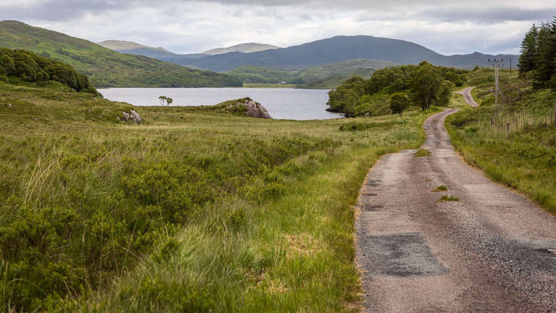
Without a sat nav: On the A884, a road branches off about 5.5 kilometres before the ferry terminal in Lochaline. The signpost points to “Ceann Loch Tiacais” and “Rahoy Cottages”. Follow this road. It’s a lovely single-track road that runs alongside Loch Arienas. Then a green sign appears announcing the car park for Aoineadh Mòr. Leave the car in the car park; the rest has to be covered on foot.