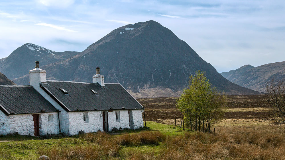
Straight from the green valley into the Scottish moor. Rannoch Moor is wilderness in its purest form. Bad for living, but good for the eyes.
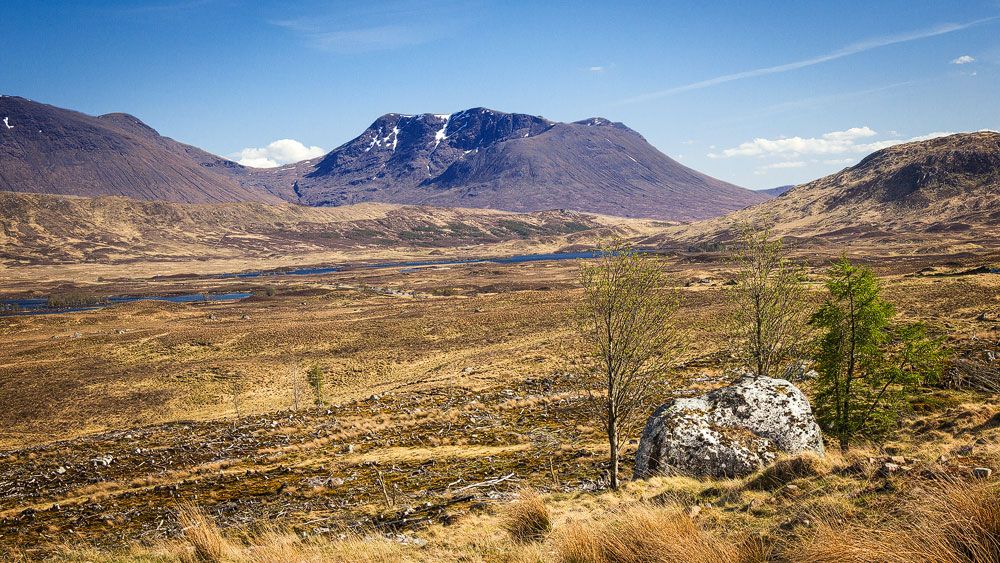
Just moments ago, rocky giants rose up on either side of you. Just moments ago, lush green covered the rocky slopes. Just moments ago, you passed a ski station at the foot of the mountains. But here, at the end of the valley of Glen Coe, a vast plain opens up. Rannoch Moor.
On the map, the moor forms a triangle. Its southern tip lies at the small Loch Tulla, its base formed in the west by the mouth of Glen Coe and in the east by Loch Rannoch. In between lies an area larger than 18,000 football pitches, where boggy ground is broken up by many small lochs.
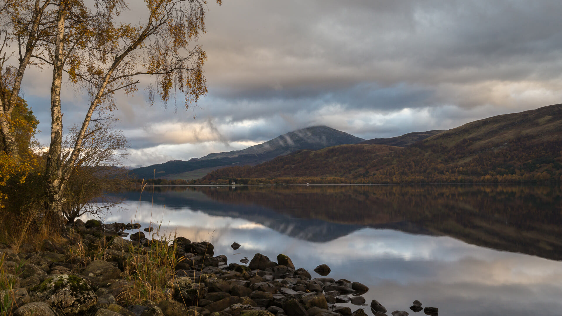
Rannoch Moor is one of the few untouched landscapes. No crops grow here, and even sheep find it unappealing. And so hardly any people live in this vast wasteland.
Which is just as well. Because that’s how its wild beauty is preserved for visitors. And there are, after all, quite a few of those. The famous “West Highland Way” hiking trail, walked by around 50,000 people every year, skirts the moor to the west before turning off into Glen Coe. The West Highland Line railway runs right through the middle of it, stopping at Rannoch Station and at Corrour Station (in German for now). Neither really serves much purpose any more, other than as a starting point for hikers, each with a hotel next door advertising its remoteness.
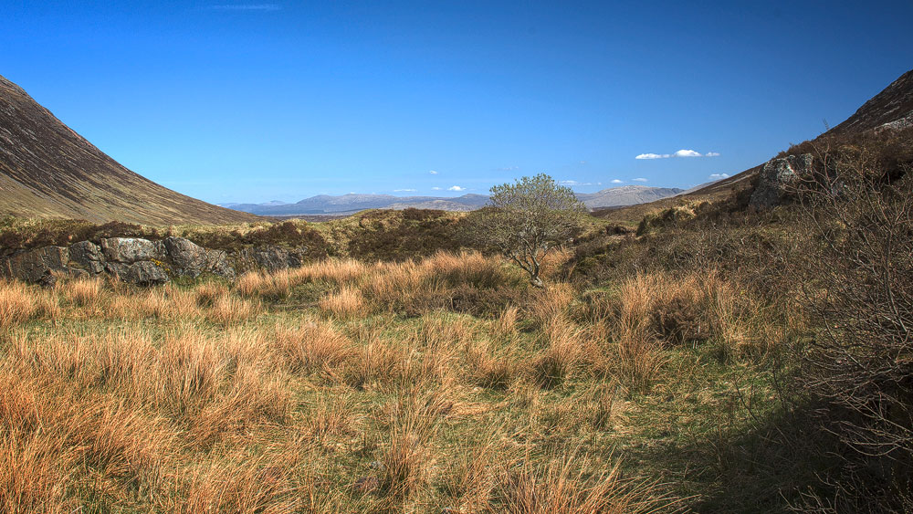
At least you can also see the moor from the road: the A82 winds along its western flank before losing height just before Loch Tulla and giving way to a “normal” landscape.
Good to know: The railway through Rannoch Moor
At more than 300 metres above sea level, Rannoch Moor already sits fairly high by Scottish standards. And the West Highland Line passes the highest point of its entire journey here, at 410 metres near Corrour Station, before descending again towards the sea at Fort William.
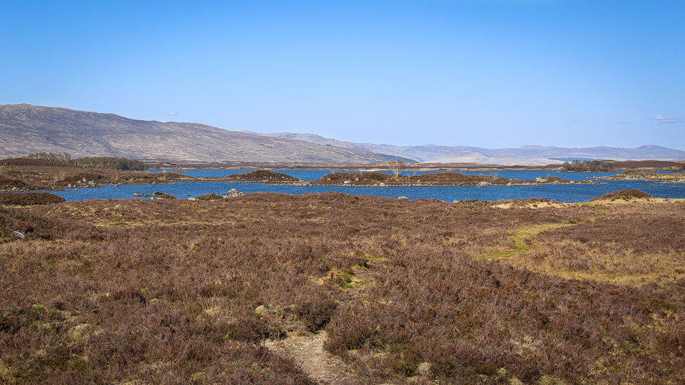
But height wasn’t the problem when laying the tracks through Rannoch Moor. It was the ground itself, which offered no proper foothold for any route – after all, it consists of nothing but soft peat. To make it work, the builders brought tonnes of earth here and laid the trackbed on a mix of brushwood, earth and ash.
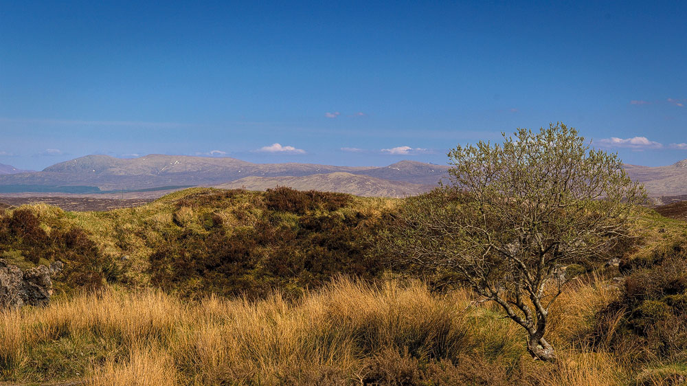
The railway line was built to connect Glasgow with the north-west of the country. Construction started in Glasgow in 1889 and ended in Mallaig in 1901. The final stretch of the route became famous thanks to the Jacobite Steam Train and the Harry Potter films.
The original Gaelic name is “Mòinteach Raineach”, with “Rannoch” being roughly the English phonetic rendering of “Raineach”. “Raineach” means “fern”, and “Mòinteach” translates as “moor” – so “Rannoch Moor” is essentially the “fern moor”.
Tip: Loch Tulla Viewpoint
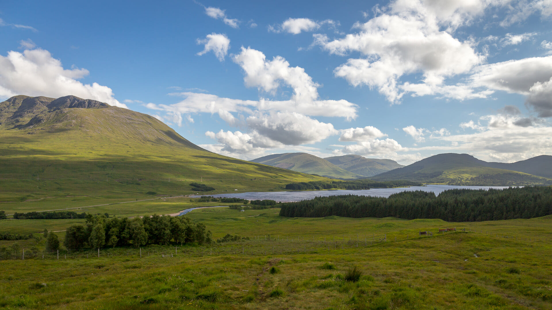
In the south, the moor loses noticeable height before reaching Loch Tulla. This creates a magnificent view from the Loch Tulla Viewpoint over the plain below. Unfortunately I missed the chance to take a photo from there. I’ll make up for it next time.
Of course, a trip to Rannoch Moor can easily be combined with one to Glen Coe.
Getting there:
With a sat nav: Entering “PA36 4AG” will take you straight into the moor.
Without a sat nav: The A82 runs through both Rannoch Moor and Glen Coe on the way to Fort William. Coming from the south, it begins a little way past the Bridge of Orchy Hotel, once you’ve passed Loch Tulla beyond it. Coming from Glen Coe, i.e. heading towards Glasgow, it begins roughly after the famous Blackrock Cottage.