Was danger looming from the west? The fort of Dun Cuithir certainly keeps a wary eye on the Atlantic. What its builders meant as a watchtower now gives us a wonderful view over Barra’s west coast.
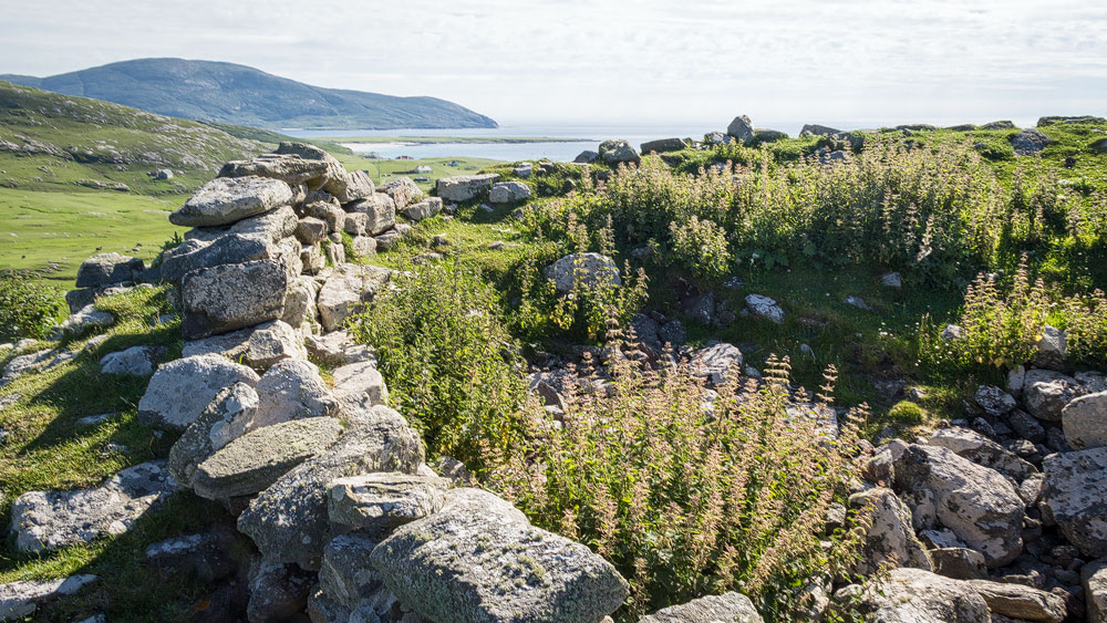
Not much remains of what was once a proud structure – the outline of the walls, a few stones. Grass and shrubs have otherwise taken over the site. Truthfully, there’d be more impressive sights on the Isle of Barra… if it weren’t for the wonderful view. Dun Cuithir sits around 65 metres above sea level, and from here you can see a good stretch of Barra’s west coast.
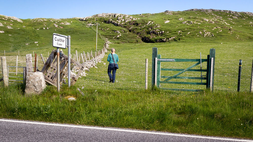
In good weather, the climb up is also a pleasant and manageable walk. Manageable, too, because it’s marked with handy waymarkers in the form of numbered posts. The only thing you shouldn’t be afraid of here (as anywhere in Scotland) is sheep – the dun is naturally surrounded by the woolly creatures these days.
For the walk to Dun Cuithir you’ll need sturdy shoes and about three-quarters of an hour there and back – including time to look around. From the road it’s only about 500 metres, though it is uphill.
Good to know: About Dun Cuithir
“Cuithir” is Gaelic and means “ditch” but also “bulwark”. It’s pronounced roughly “cooyer” – the “th” stays silent. Alternative spellings include “Dun Cuier”, “Dun Chuidhir” and similar variants. Dun is the word for “fort”; it appears frequently in place names and is even hidden in “Edinburgh” – in Gaelic, Edinburgh is “Dùn Èideann”.
Strictly speaking, though, Dun Cuithir isn’t a dun at all, but a broch. Brochs are Iron Age defensive towers – one particularly well-preserved example is Dun Carloway on the Isle of Lewis. Naturally, not much of the broch remains visible today.
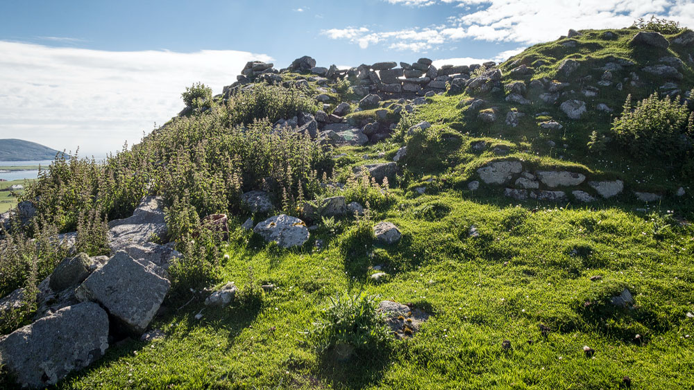
Excavations at the site have unearthed all sorts of finds, such as pottery shards, combs and other everyday objects. These finds were dated to between 400 and 700 AD.
Dun Cuithir was probably still in better condition by 1746, since archaeologists have dated an additional wall built into the structure to that period. So the dun was still in use at that time, and it’s said to have briefly served as a base for English soldiers following the suppression of the Jacobites.
Tip: The walk keeps going
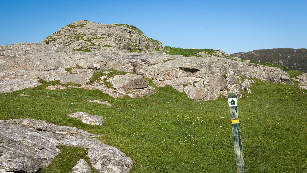
The posts are numbered, and the one near the dun carries the number 4. From there the path climbs to the left, approaching the dun essentially from behind, since the ascent from the front is otherwise too steep.
In theory, though, the route continues all the way to post 12, and it can be turned into a loop that also takes you past several other ruins. The route is well described on Walkhighlands. That version of the walk, however, takes several hours and is considerably harder.
Personal note: Only climb up in good visibility
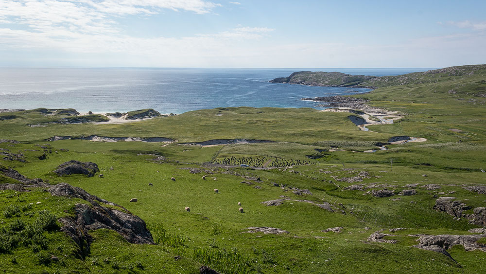
If you’re not an archaeology fan, the dun itself won’t hold much appeal on its own. But the climb up in good weather, past curious sheep, was genuinely great fun. And the view was superb.
Which also means: in murky weather, I wouldn’t bother going up.
Getting there:
With sat nav: “HS9 5XZ” gets you roughly to the area.
Without sat nav: Follow Barra’s ring road west until you see the sign for “Cuithir”. Park before the cemetery.