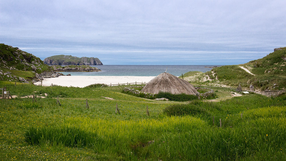
The people of the Iron Age treated themselves to a view of the beach and the sea at Bostadh House. Today, visitors can get a feel for what life was like back then.
For a long time it was suspected that something lay slumbering beneath the sand. Time and again, objects were found that seemed strange to the residents. But it took the forces of nature to lift the veil of time: a storm in January 1993 swept the sand away and exposed strange stone houses beneath it, one of which was still almost intact.
That very same year, archaeologists came to a conclusion: the houses dated from before the time of the Vikings. It was clear that something special had been found here. Over the next three years, researchers refined the dating and placed the finds at 800 to 400 BC — a settlement from the time when the Celts still ruled here. A treasure trove for archaeology.
But if you park your car at Bostadh today, you’ll search for the settlement in vain at first. So where is it?
Researchers quickly realised that they couldn’t protect the old houses from the very forces that had made them visible: wind and sand would attack the houses and partly bury them again. So they took a step forward instead: they filled the houses back in and let them disappear into the ground once more. Only in a few places can you still make out the remains of walls.
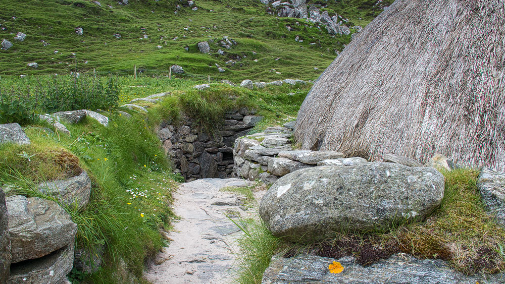
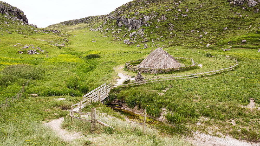
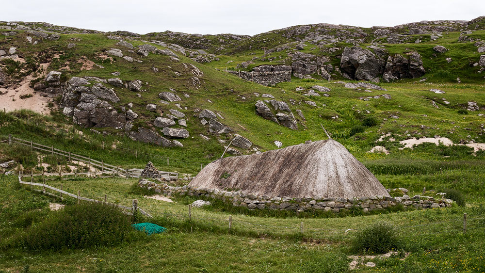
Still, a visit to Traigh Bhostadh, the beach at Bostadh, is well worth it. Today, overlooking the beach, stands a complete reconstruction of one of the Iron Age houses, fitted out with replicas of items found inside the original settlement. Just as with the originals, only the thatched roof and the upper part of the stone walls rise above the ground. You enter via a curved passage with steps that serves as a windbreak.
Inside, it is fully furnished with a hearth burning a peat fire, sleeping areas and furniture.
Good to know: Name, spelling and history
The original Gaelic name is Bostadh, adopted into English as Bosta. It dates back to the time of the Vikings, who built their own settlement on top of the houses of the Picts. “Bolstadhar” meant a farmstead — and from that came today’s name.
Tip: Circular walk across Great Bernera to Bostadh Iron Age House
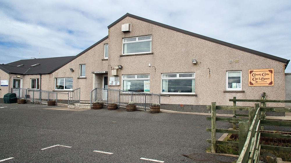
Unfortunately we weren’t able to do it ourselves, but the circular walk across Great Bernera is said to be lovely. It starts at the community centre, which also houses a museum and offers good parking. It eventually leads to Bostadh House as well.
You can find the details for the walk on the English-language site Walkhighlands, complete with a printable map. You can also start the walk from the Bostadh House car park. However, the community centre has the added benefit of a café where you can rest after the walk. And if you haven’t seen enough already, a visit to the museum in the same building is worthwhile too.
Personal note: Sandy beach and butterflies
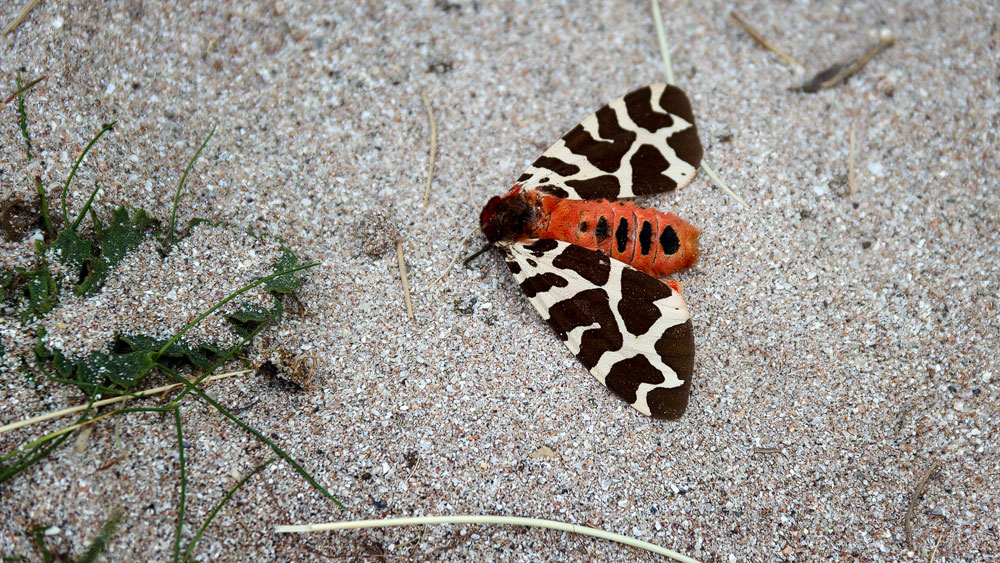
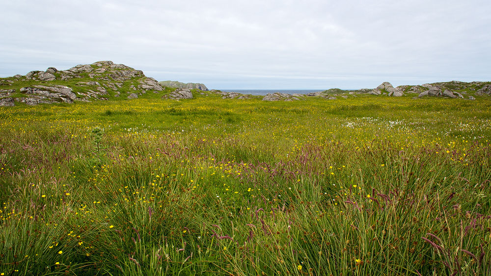
When we visited Bearnaraigh, it was a Sunday. Things really are quiet on the Outer Hebrides on that day — so, unfortunately, the house was closed too. But even without seeing the inside, you can spend a few lovely hours here. The house is surrounded by the so-called machair, a type of ground that bursts into a beautiful summer meadow in bloom, home to all sorts of butterflies.
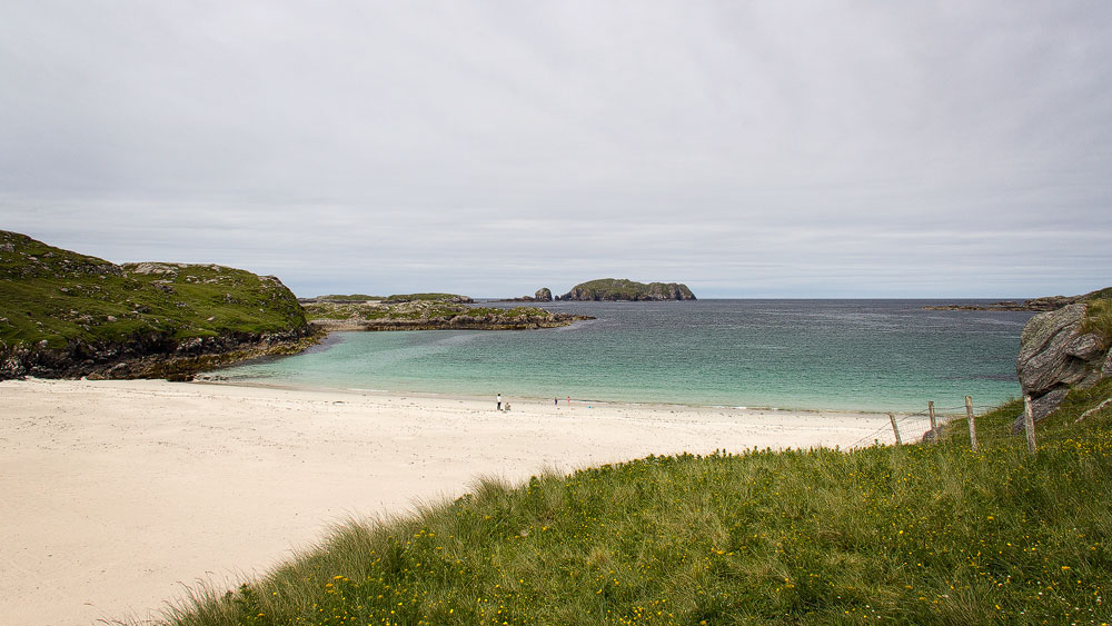
Not far away is the sandy beach, which invites you for a lovely walk while you take in the scenery of sea and rocks.
Getting there:
With sat nav: The code “HS2 9LT” will take you right to the vicinity of the community centre on Great Bernera. From there you can either do the walk or continue driving along the road, following the brown signs to “Traigh Bhostadh”.
Without sat nav: From Stornoway follow the A858 to Gearraidh na h-Aibhne (Garrynahine), then turn left towards “Bearnaraigh agus Uige”. Continue on the B8011 until a small sign on the left points the way to Bearnaraigh. Turn right and keep going until you cross the bridge onto the island. Continue to the community centre, then follow the signs to “Traigh Bhostadh”.