Fittingly, one of the most beautiful beaches in the Highlands lies right along the scenic Road to the Isles: the Silver Sands of Morar.
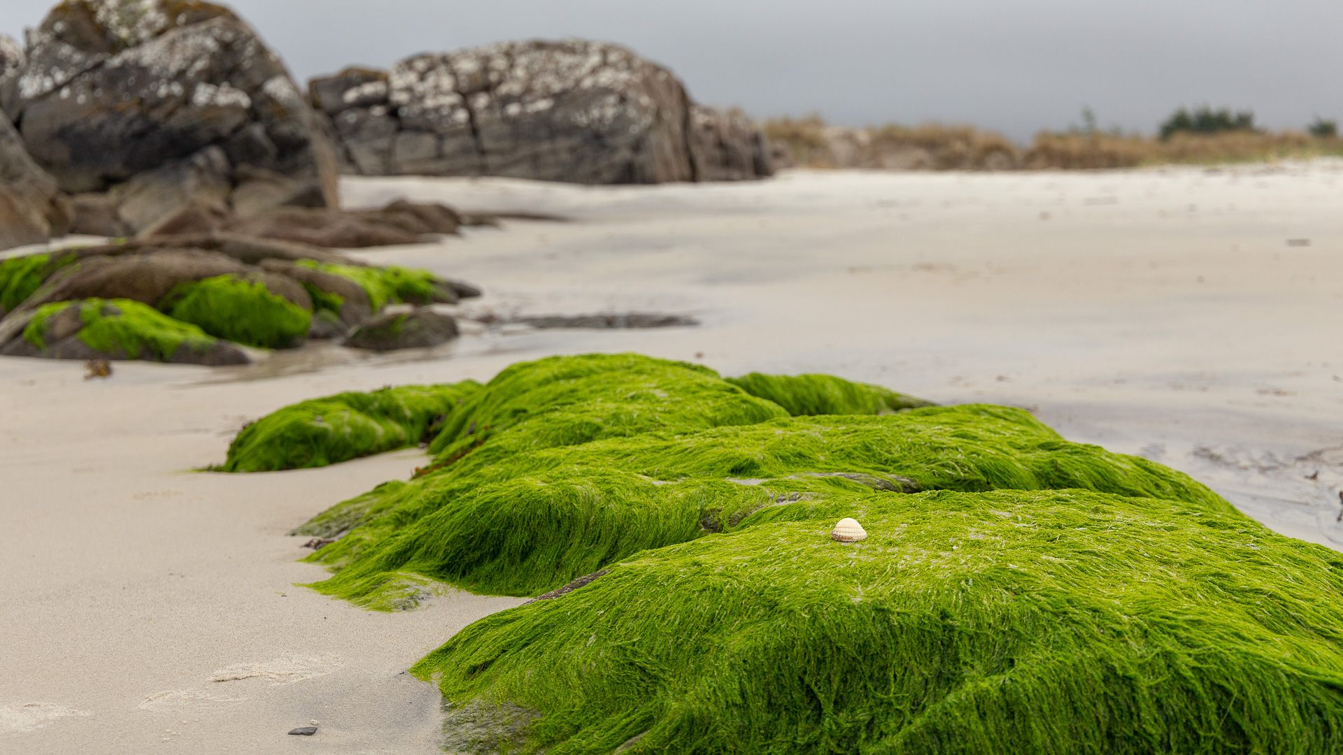
Morar is a beach, a village and a loch. The village of Morar lies between Loch Morar, whose river, the Morar, forms the bay where the Silver Sands have gathered.
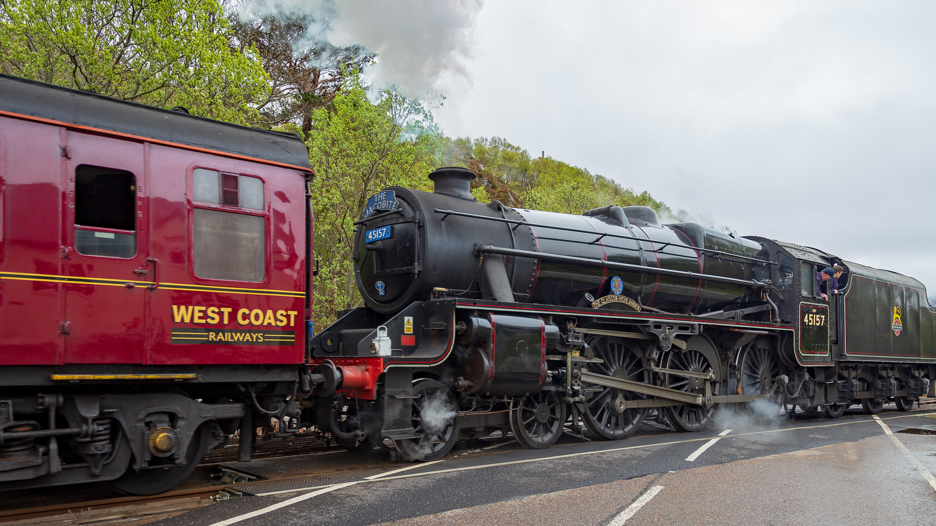
Two important routes run along the narrow strip of land between the loch and the sea: the Road to the Isles, and the railway line running parallel to it, both leading to Mallaig. Both routes cut through a truly gigantic landscape. The railway line is also where the Jacobite Steam Train runs, made world-famous by the Harry Potter films.
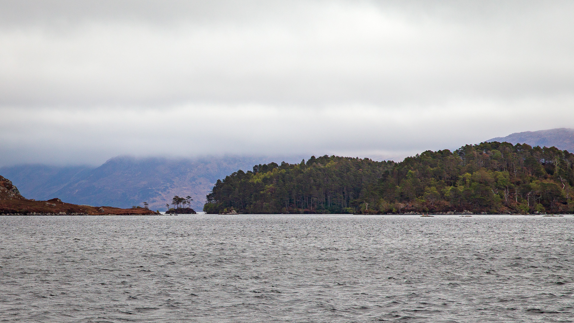
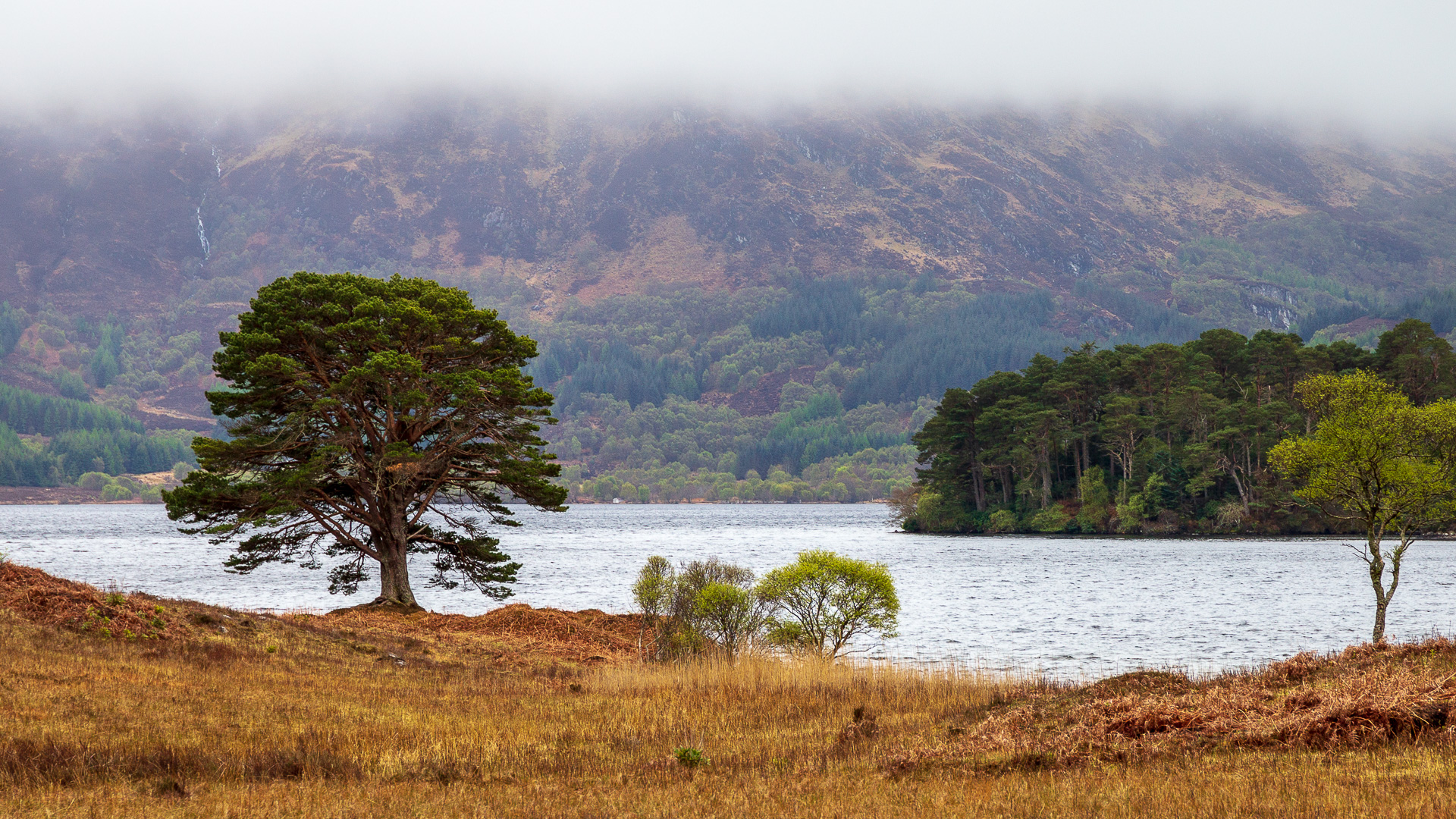
Loch Morar begins east of the village. It stretches for 19 kilometres, usually no more than a kilometre wide, into an inaccessible landscape. Islands keep appearing on the loch’s surface, most of them covered in forest. Loch Morar also holds a record: at 310 metres, it’s the deepest loch in the British Isles.
Deeper and more mysterious than Loch Ness? Naturally, the locals here have their own lake monster too: Morag. Some say she’s half woman, half fish – in other words, looking like a mermaid. Others describe her, like Nessie, as a large water serpent. A sighting of Morag is usually taken as an omen of the death of a local MacDonald.
From the loch, the River Morar flows out towards the Silver Sands. Crossing it is the Morar Viaduct, a smaller sibling of the Glenfinnan Viaduct (currently only available in German).
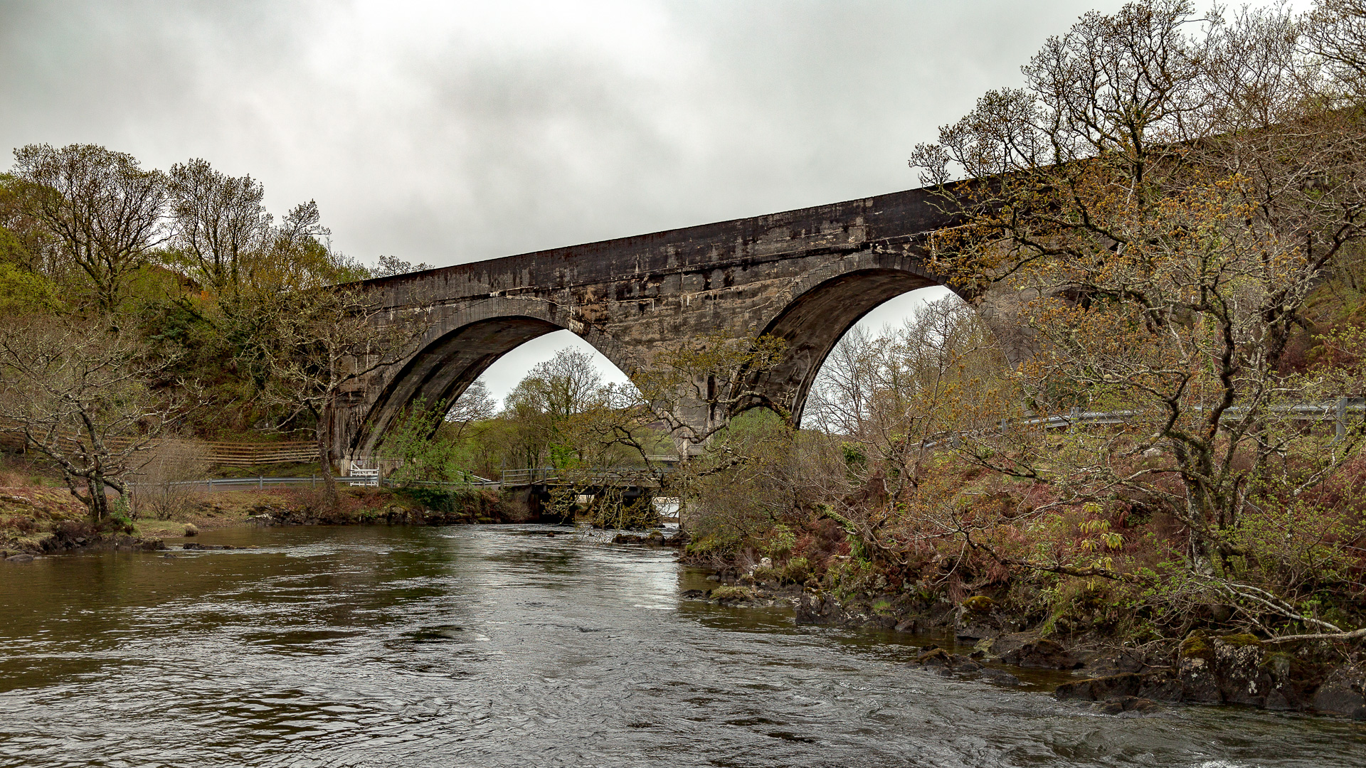
The River Morar is genuinely deep with a strong current, yet by the time it flows into the sea at the back of the Silver Sands of Morar, it looks more like a stream. Further small streams flow in from the sides.
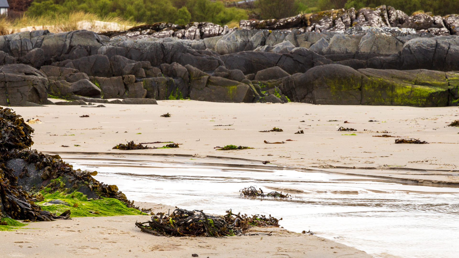
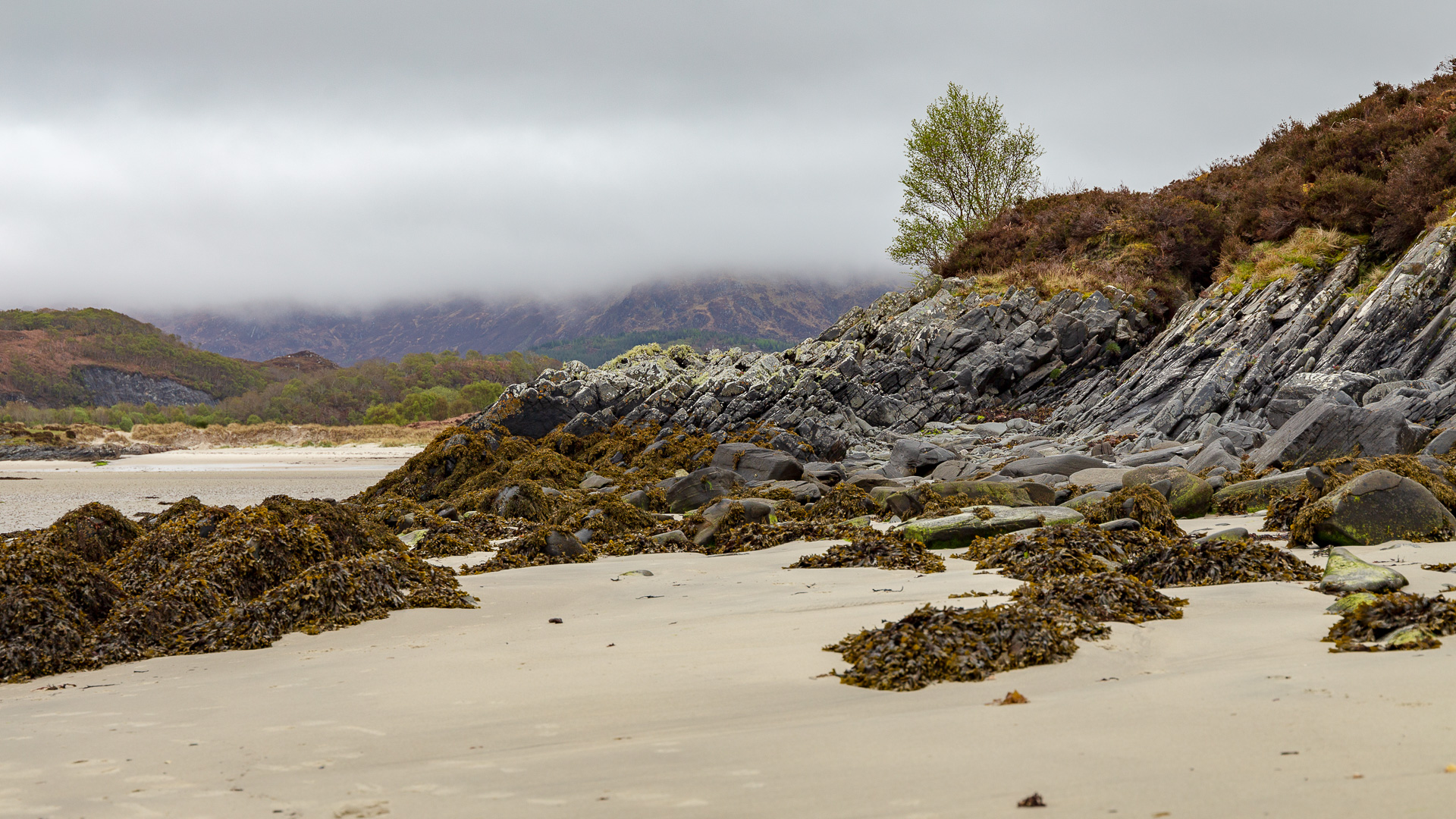
At low tide, the sea genuinely withdraws completely from the bay, revealing a huge and wonderful sandy beach. From the car park south of the beach, you can then take a walk right across the bay towards the sea.
The Highlands rise up all around, their foothills leaving a few rocks in shimmering colours poking through the beach as well.
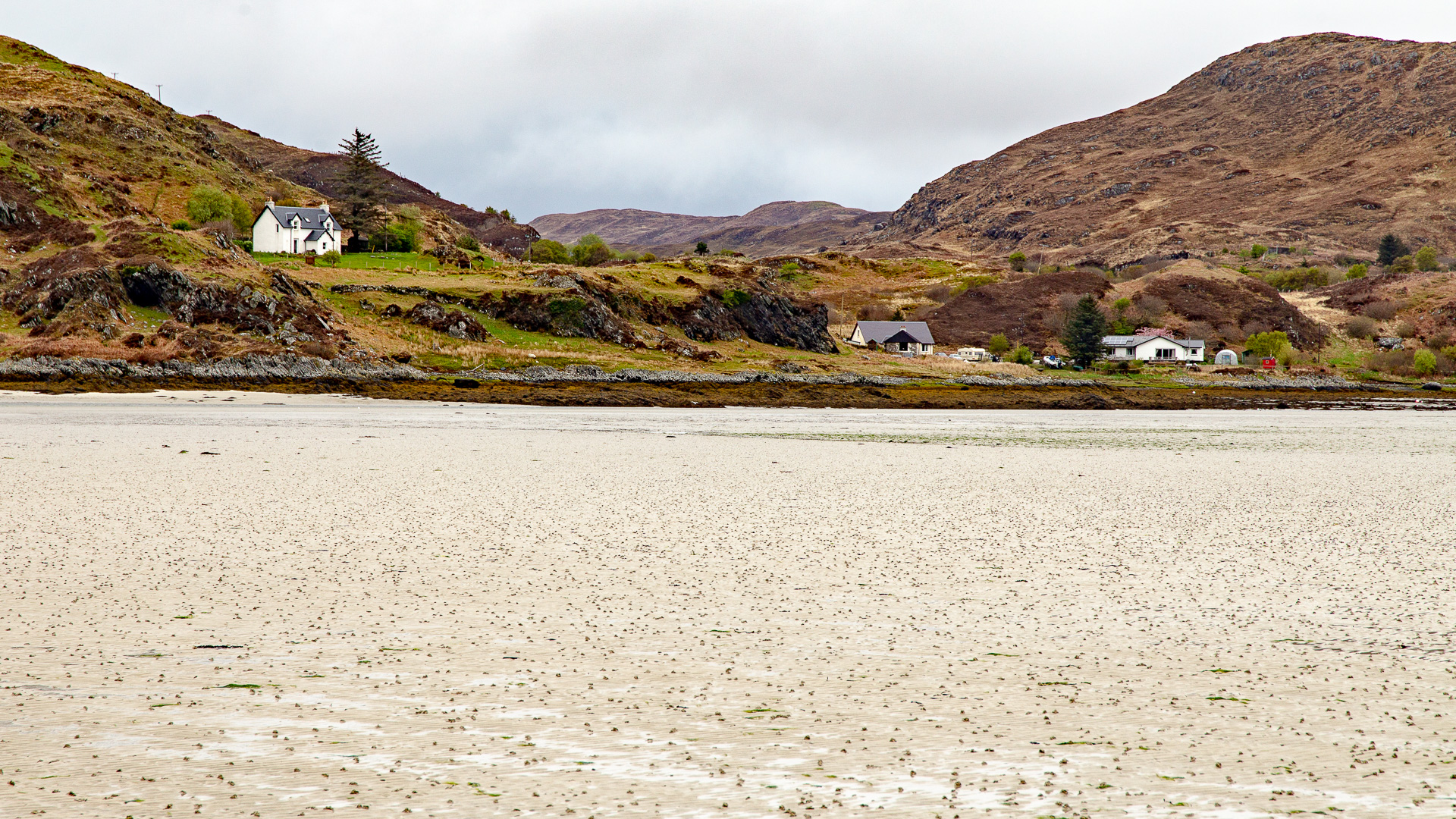
Walking ever further towards the sea, at the very lowest tide visitors can even leave the bay to the south and discover further small beaches there.
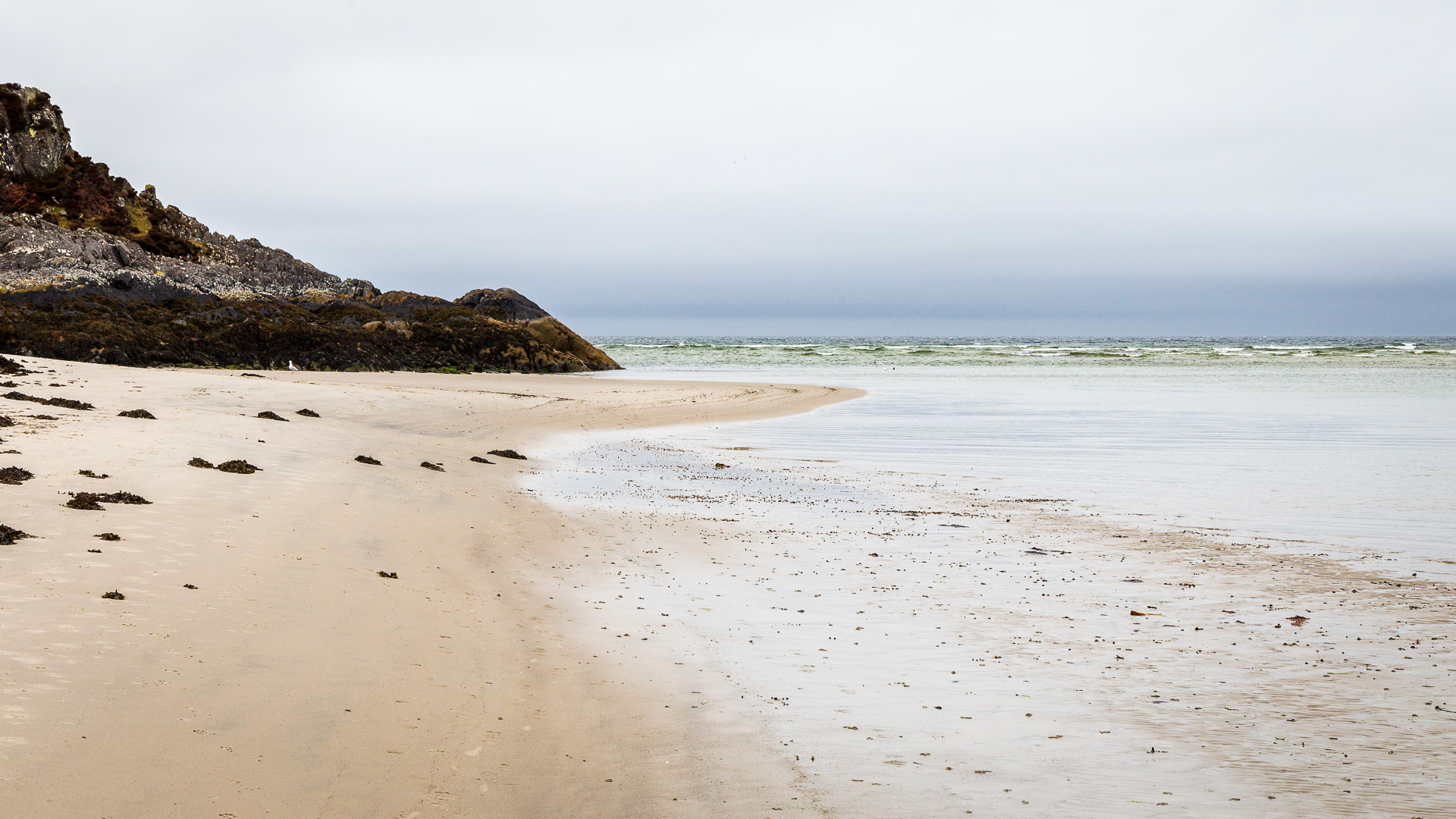
But be careful: when the tide pushes back into the shallow bay, the water reclaims the sand quickly. That’s when walkers should head for safe ground along the shore.
In any case, a visit to the Silver Sands of Morar is well worth it when driving along the Road to the Isles.
Good to know: Morar, Bonnie Prince Charlie, and the Highlander
The area around Loch Morar and along the Road to the Isles played a major role in the last great Jacobite rising (currently only available in German). Morar was home to a branch of Clanranald of MacDonald – the very clan that Prince Charles Edward Stuart repeatedly turned to for help. And so Charles first landed on Eriskay (currently only available in German) to meet a Clanranald there, then near Borrodale – just a few kilometres away. He raised the call to arms at Glenfinnan.
On his long flight too, immediately after the defeat at Culloden, he passed right along Loch Morar and stayed for a time at Meoble, a little south of the loch.
Another – fictional – character also turns up on the beaches near Morar: the Highlander from the film of the same name. Here he transformed into a stag and ran across the sand. That scene, though, wasn’t shot in the bay itself, but on one of the beaches found a little further south.
Getting there:
The beach has a car park with toilets to the south. Here’s how to find it:
With a sat nav: “PH40 4PD” gets you roughly nearby, then continue as described below.
Without a sat nav: on the A830, the Road to the Isles, heading towards Mallaig, a large road sign appears just before Morar. To the left it points to An Camas Darach (Camusdarrach), to the right to Morar itself. To reach the beach, turn left here. After a while the road bends, and then the car park is on the right.
To reach Loch Morar, don’t turn left off the A830 but right instead, and then right again after the viaduct.