At the southern end of Scotland, at the Mull of Galloway, plenty of what makes the country special awaits you once more: green hills, steep cliffs, a wild sea and, above it all, a lighthouse.
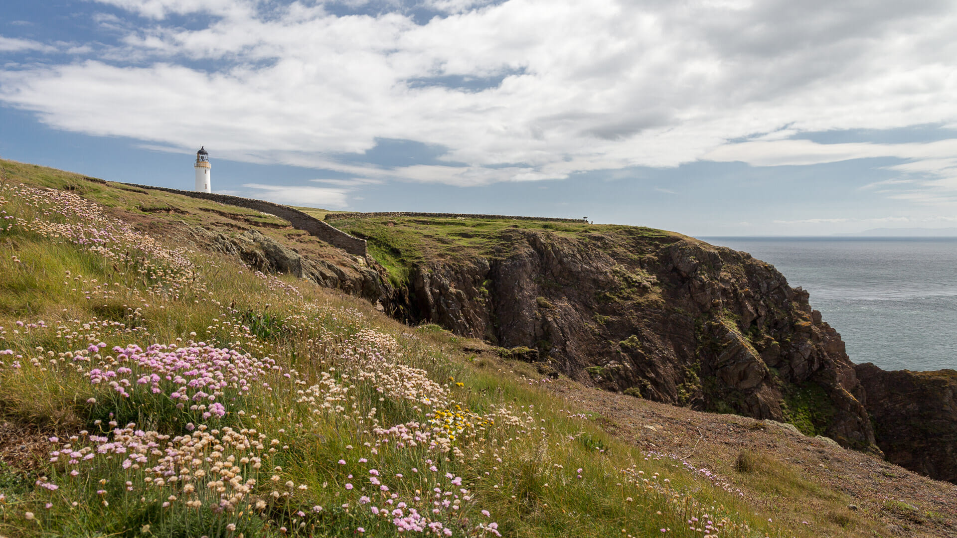
If you wanted to travel the length of the Scottish mainland from north to south, you’d need to start at Dunnet Head and, after roughly 460 kilometres as the crow flies, arrive here at the Mull of Galloway. The two ends have quite a bit in common: the Royal Society for the Protection of Birds (RSPB) has set up a reserve at both. And both ends of Scotland sit atop tall cliffs, crowned by a typical white-and-yellow Stevenson lighthouse.
On the map, the Mull of Galloway looks like a small appendage on the Rhins of Galloway peninsula, which juts out south-west of Dumfries & Galloway like the head of a hammer. But once you actually arrive, this southern tip of Scotland feels impressively large and expansive.
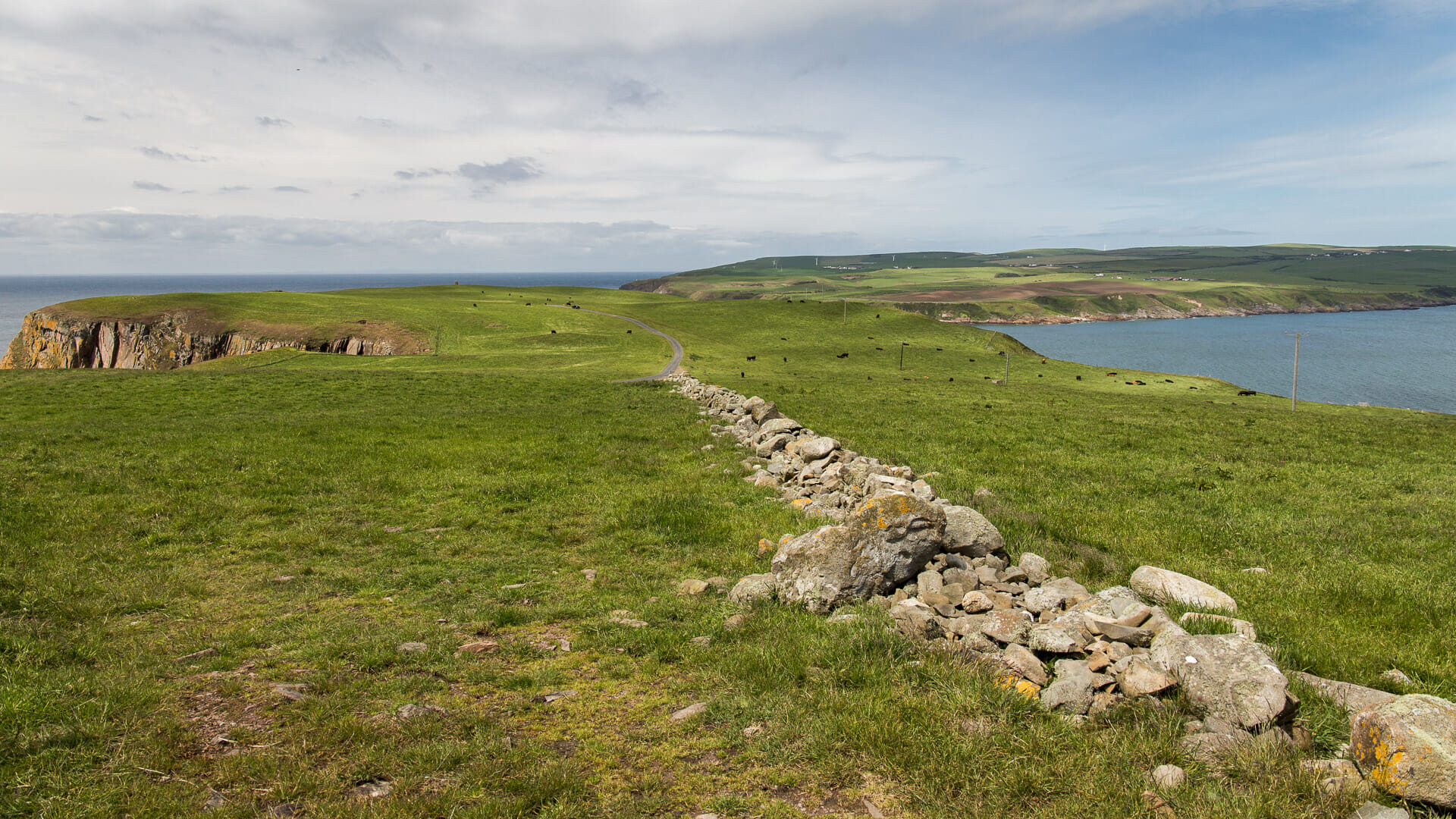
A single-track road brings visitors all the way to the large car park by the Visitor Centre – in good weather the Mull is fairly well visited, since a number of short walks exploring the area start from here.
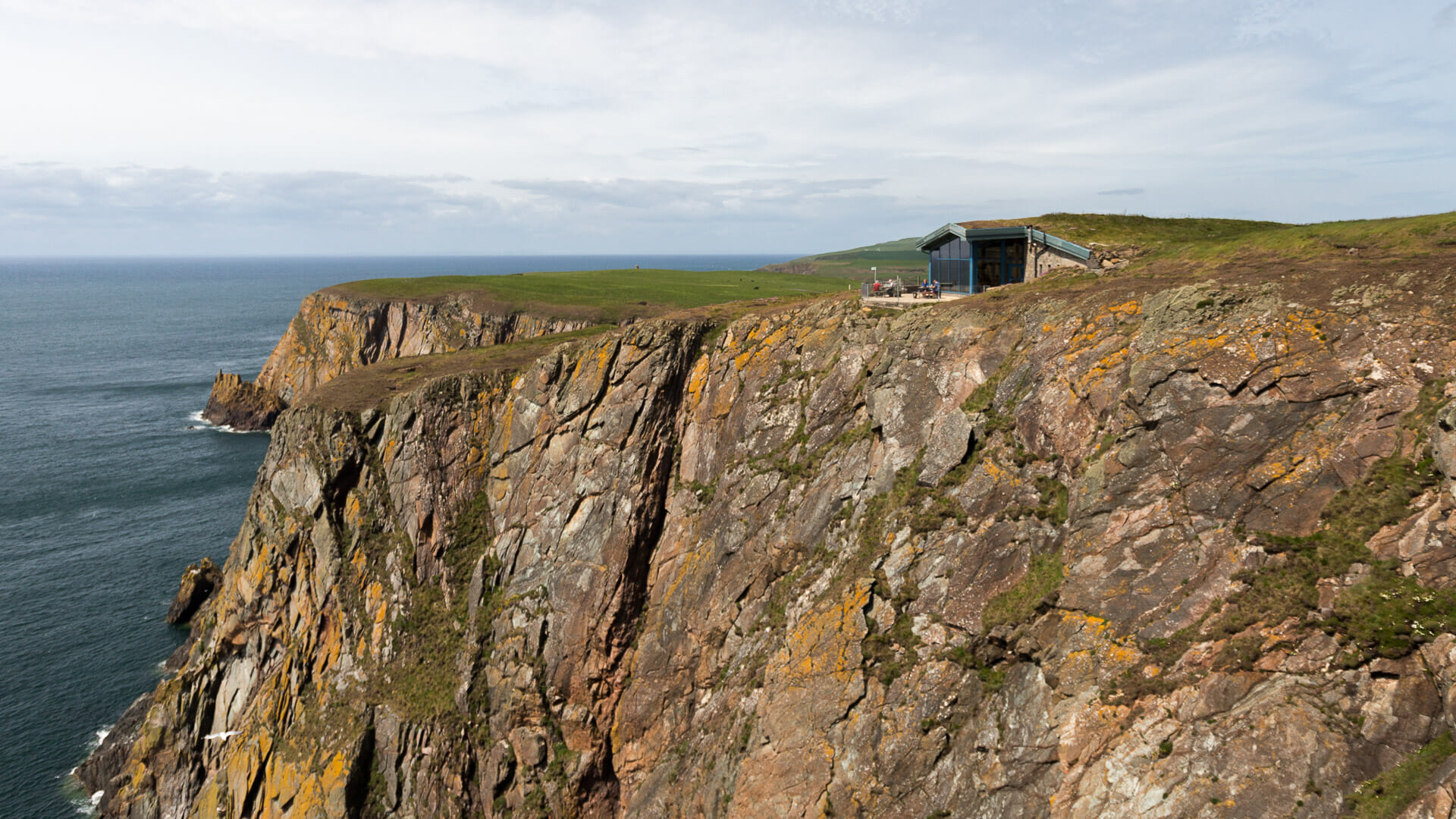
The Visitor Centre itself is impressive, its terrace offering a magnificent view out over the Irish Sea. On a clear day, the Isle of Man appears faintly in the distance. The terrace sits on the rock known as “Gallie Craig”, which is also the southernmost point of Scotland.
The path that begins above the car park also runs along these cliffs. It’s well signposted throughout, so no one gets lost here. Soon the lighthouse comes into view, now also included on Scotland’s list of listed monuments.
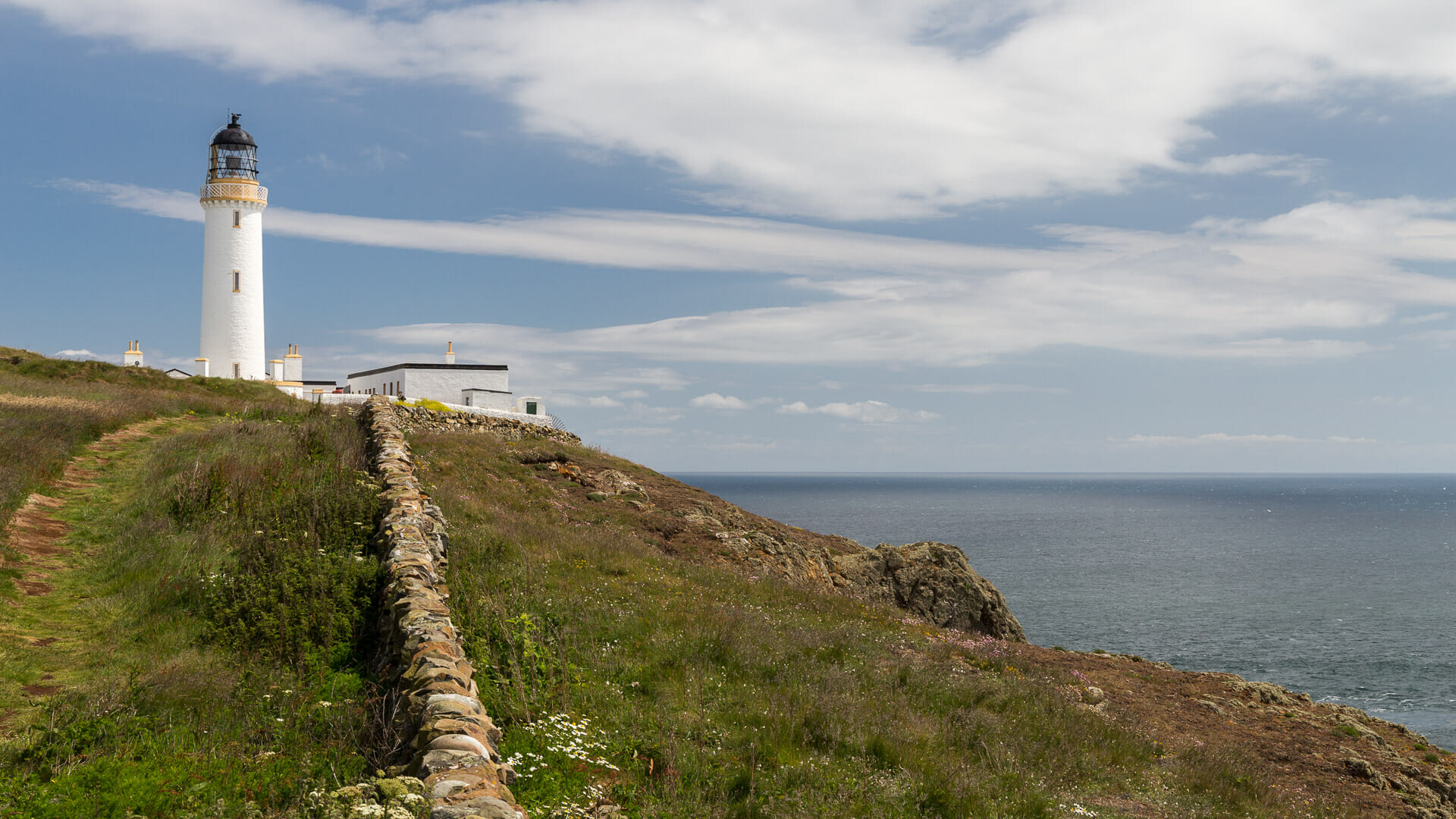
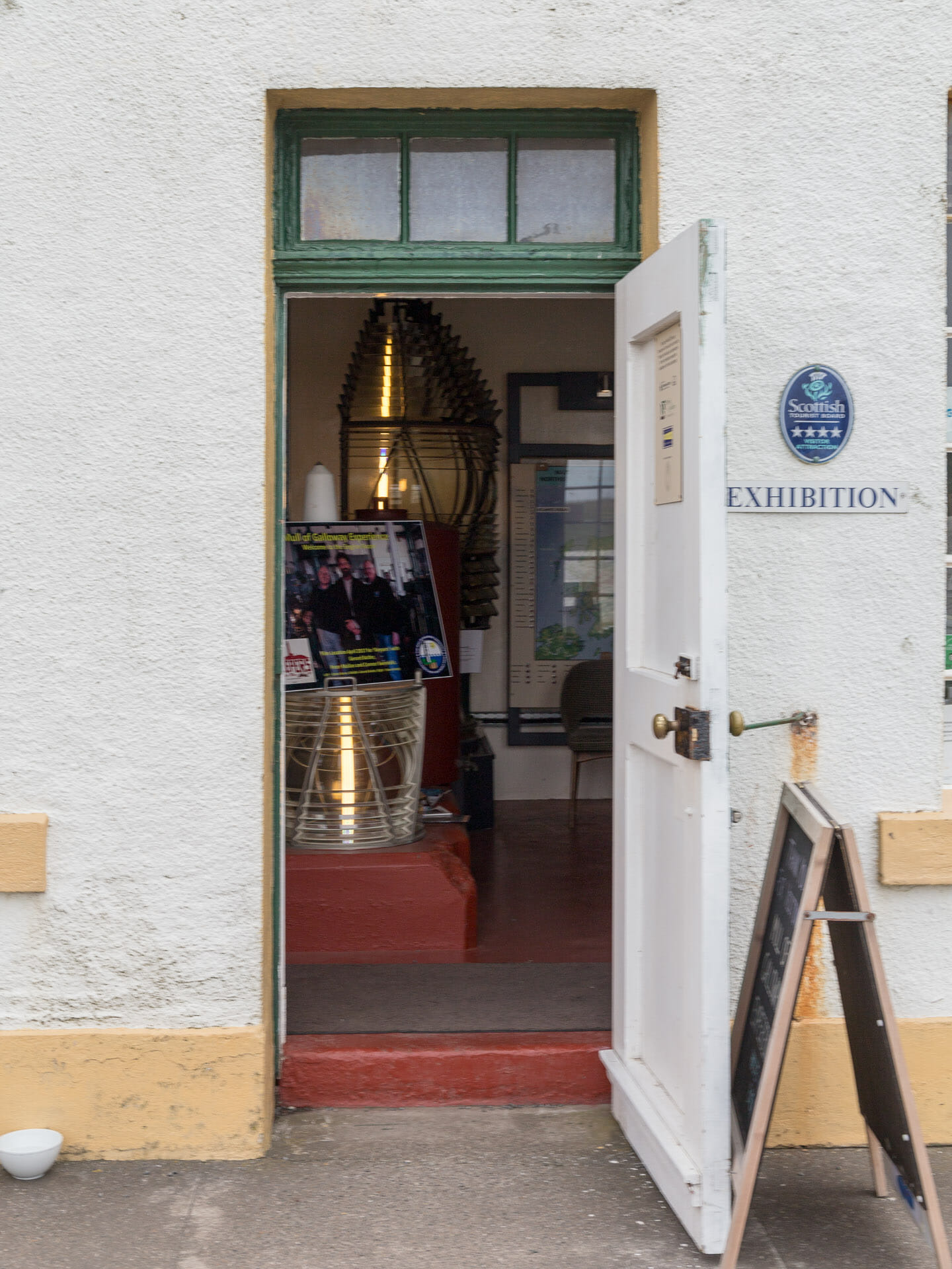
It has been guiding sailors here since 1828 – and given the treacherous waters here, that’s genuinely necessary too. These days the light of course operates automatically; the era of the lighthouse keepers is long gone. Their former lives here, and the technology of the tower, are told through the Lighthouse Exhibition inside. And – if it happens to be open – visitors can also climb the 115 steps to the top, to enjoy a magnificent view from the tower out over the land and the sea. (Sadly, we weren’t lucky enough to find the tower open during our visit.)
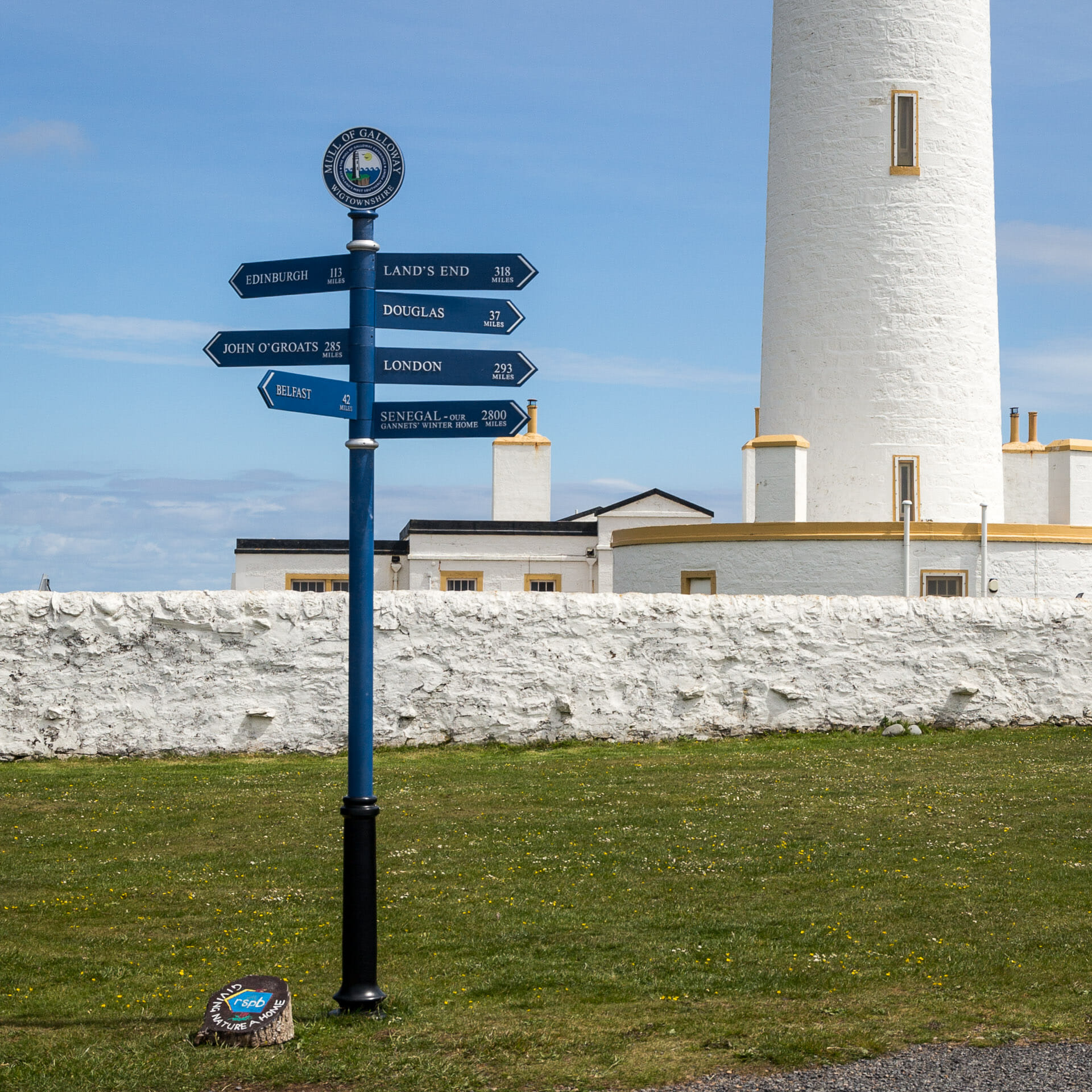
Just as at John o’ Groats, a signpost at the Mull of Galloway also points the way to various cities and places around the world.
Behind the lighthouse stretches a long white wall. It encloses the garden where vegetables were once grown to feed the lighthouse keeper. At the time of our visit, however, the garden was no longer maintained.
Steps lead not only up to the lighthouse, incidentally, but also down to the foghorn. You’ll find them once you’ve walked around the walled garden.
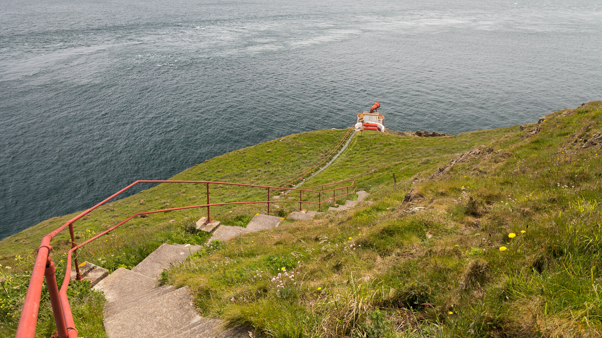
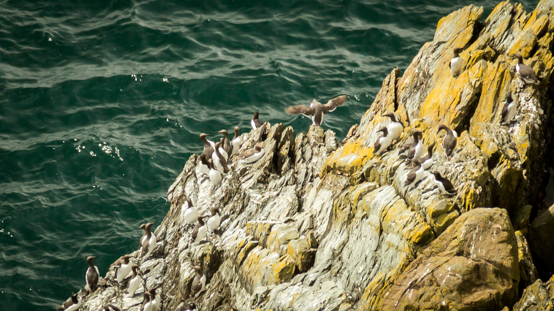
The walk down is worth it, since the ledge gives a better view into the cliffs below, where the birds nest: razorbills and black guillemots, with the occasional puffin also spotted from time to time. With a bit of luck, you might also see peregrine falcons. During our visit, plenty of swallows were flying about too. And, of course, gulls – no shortage of those.
The path above continues along the steep coastline, essentially circling the headland. And here, looking east, it also becomes clear just how dangerous the waters around this cliff coastline are: the current whips up waves.
Back towards the lighthouse once more. There stands the hut belonging to the bird conservation society. Between April and October, volunteers are on hand here, happy to share their knowledge with visitors. The small exhibition inside, incidentally, is also designed to be accessible for children.
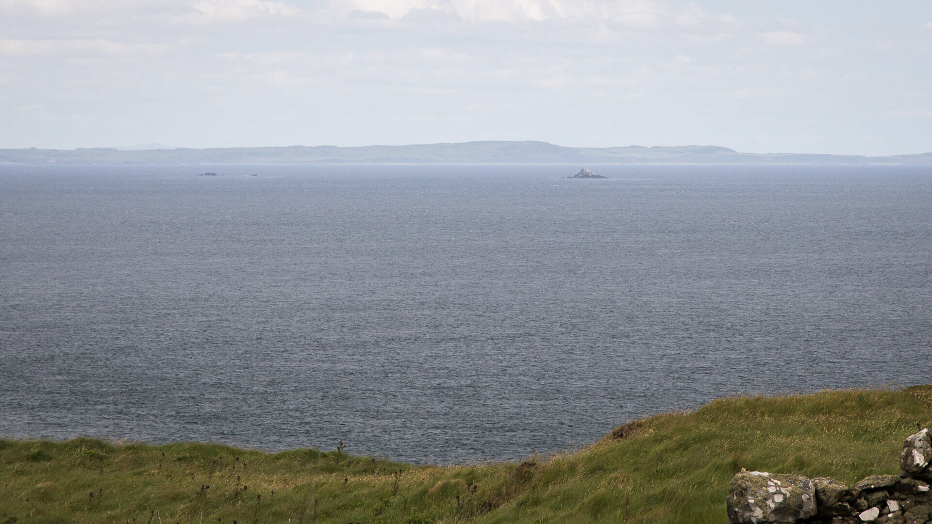
The highlight is the spotting scope, through which you can observe the small rocky islets known as the Scar Rocks, out in the eastern part of Luce Bay.
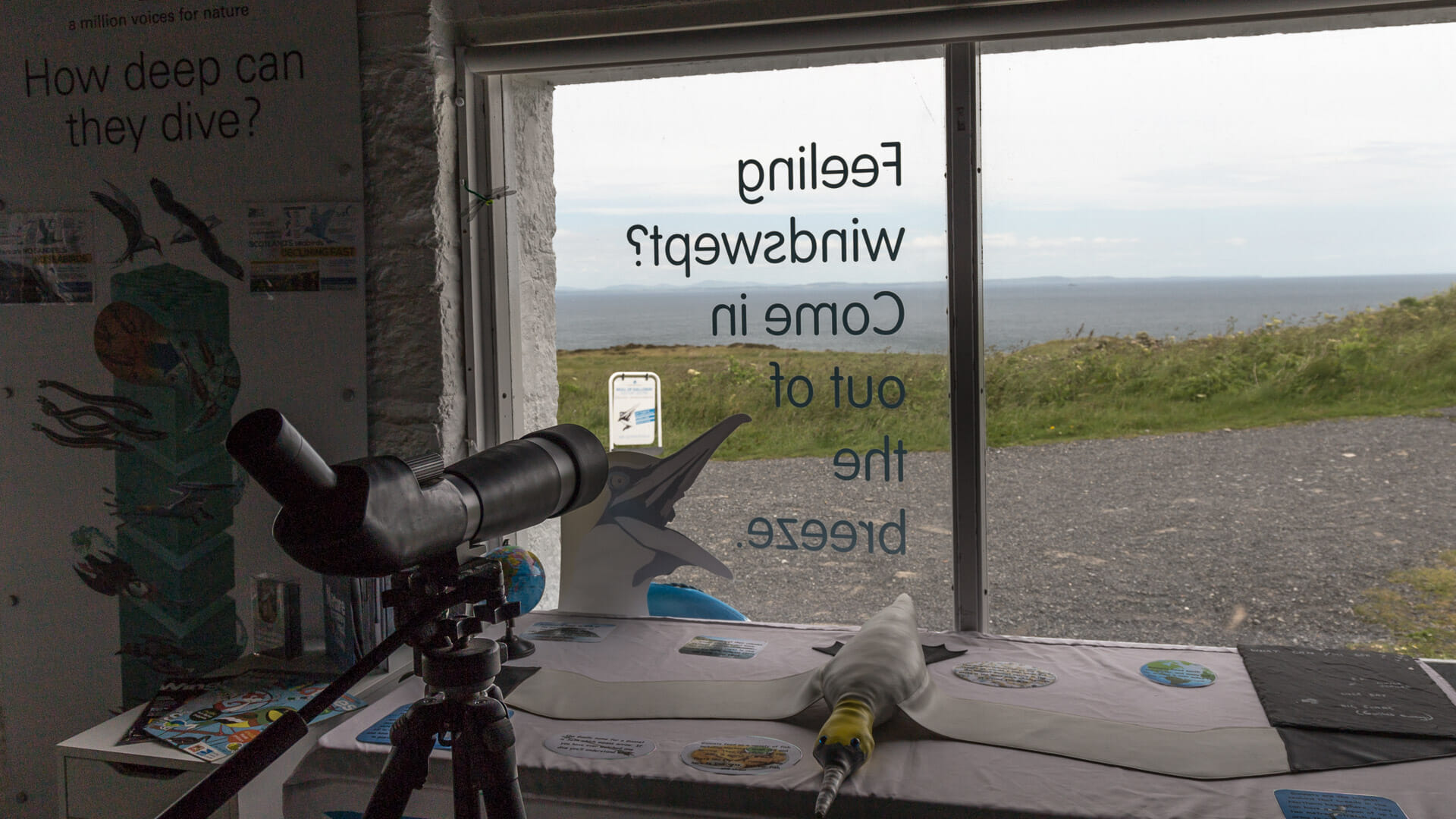
Thousands of pairs of gannets nest there in the summer.
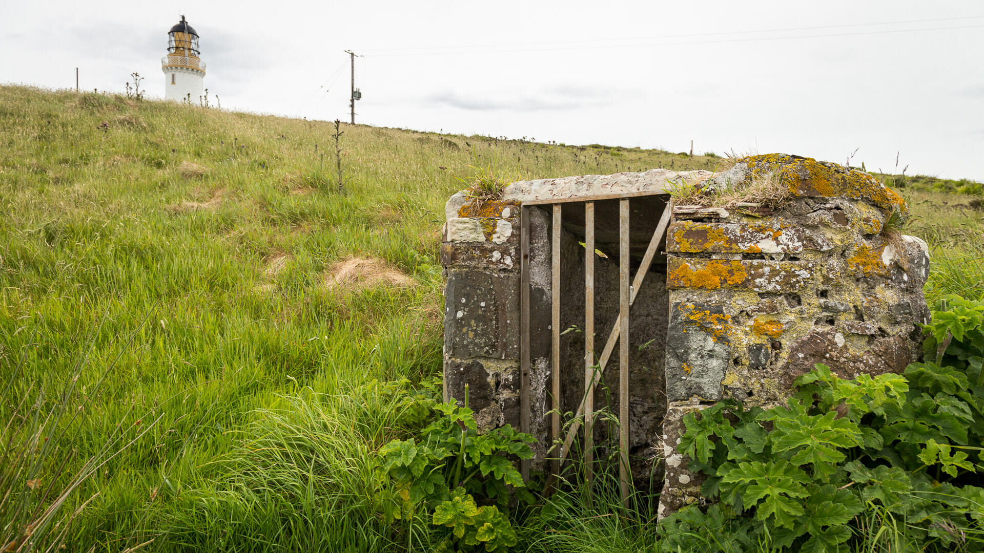
The path also leads past the lighthouse’s old water source, housed inside a small shed. This is where the lighthouse keepers once drew their water.
Finally, the circular walk ends back at the car park. From here it’s well worth stopping by the café at the Visitor Centre, enjoying the view out over the sea from the terrace one more time.
For the entire loop, including the lighthouse and foghorn, plus enough time to properly take everything in and have an informative chat at the bird conservation hut, you should allow for roughly half a day here. Those in a hurry, though, can manage it in about an hour.
Did you know: about the Mull of Galloway
Mull comes from the Gaelic “Maol” and roughly means “headland” or “promontory”. Galloway comes from “Gall”, “stranger”, and “Gàidheal”, “Gael”. “Maol nan Gall” therefore means the headland of the strangers. The term Galloway, though, actually hides the Gaelic “Gall-Ghaidhealaibh”, a term referring to the “Gall-Gaidheal”, the “foreign Gaels”.
The term “foreign Gaels” is well known historically. After the Vikings conquered large parts of Scotland’s west coast and its islands, they partly intermingled with the local Gaelic population. The Gall-Gaidheal were born.
The Outer Hebrides, too, were long referred to as the “Innse Gall”, the islands of the strangers. And their famous king, Somerled, was even known as the Rì Innse Gall, “King of the Isles of the Strangers”. A Caledonian MacBrayne ferry still carries this name today, incidentally.
Galloway, in fact, remained an independent kingdom right up until 1235.
Another piece of history is pointed to by Kennedy’s Cairn, which can be seen inland from the Visitor Centre.
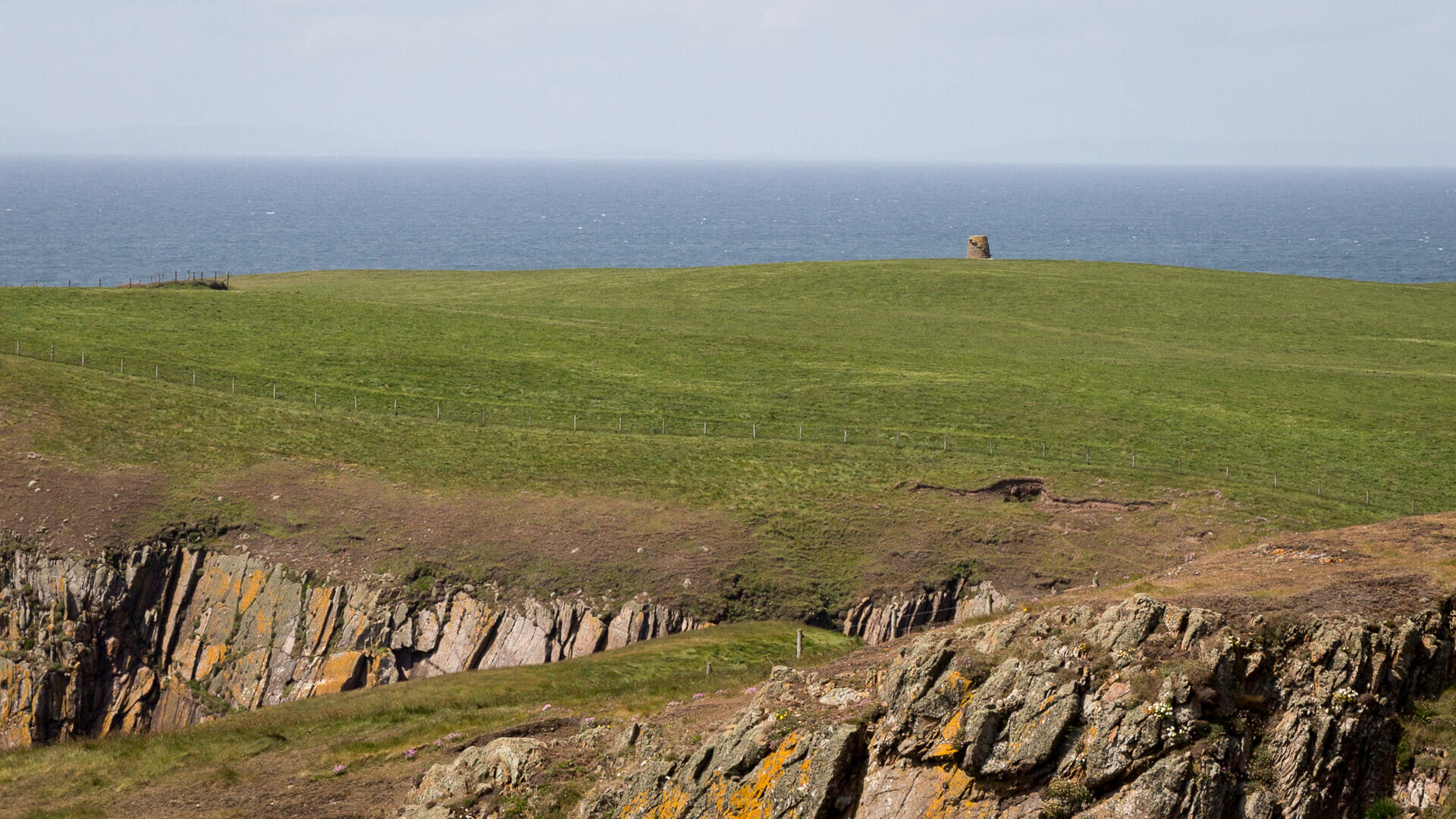
We know it was used as a lookout post during both the First and Second World Wars. But it has stood there for considerably longer than that. Supposedly, Kennedy, one of the island’s gamekeepers, once used the building to trap crows that were causing damage to the local sheep flocks. And flint fragments found around the tower point to use dating back to the Stone Age.
Incidentally, the Mull of Galloway was also used for filming the movie “Keepers”, starring Gerard Butler. The film was expected to reach cinemas in 2018. The lighthouse at the Mull of Galloway plays the role of the lighthouse on the Flannan Isles in the Outer Hebrides. What happened there, I’ve described in the piece on the Butt of Lewis.
Tip: down to the cliffs, for the brave only
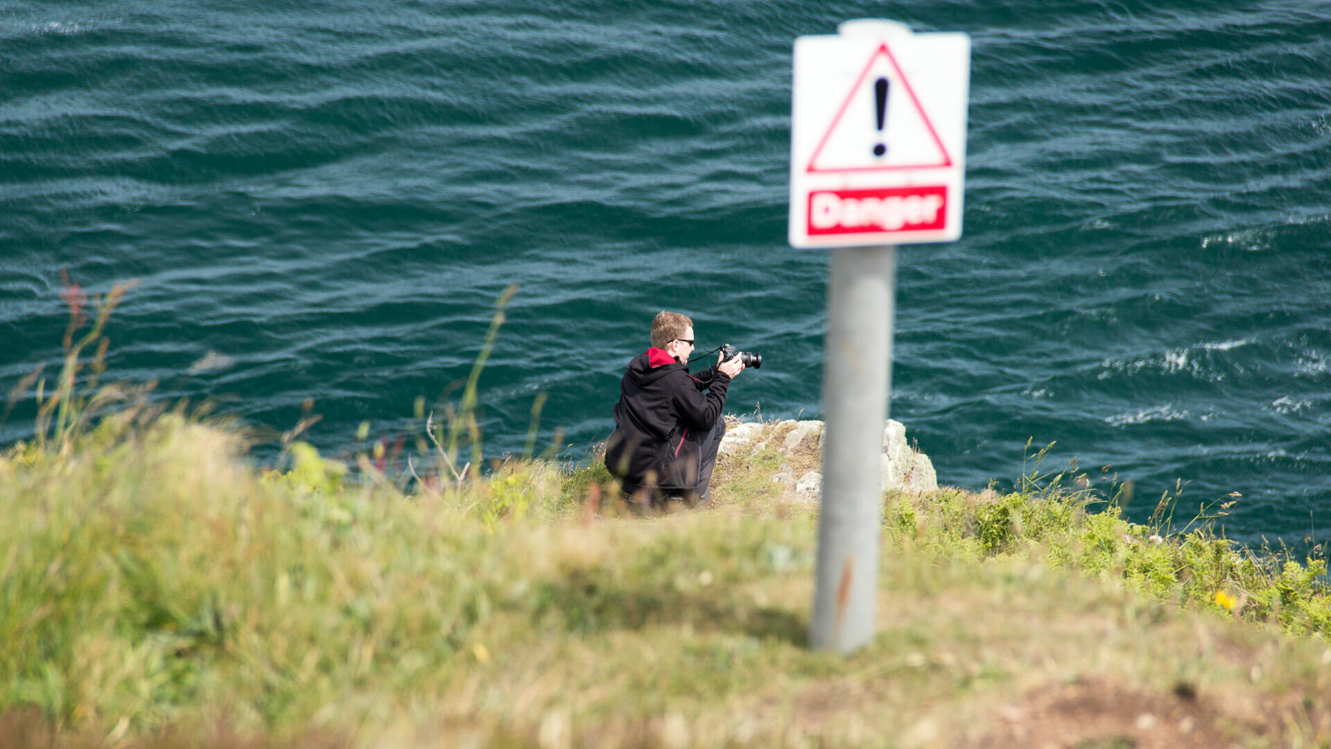
The path from the helicopter landing pad down to Luce Bay in the east leads all the way down to the steep cliffs. From a certain point, a sign warns that things get dangerous from here on. But it’s only from down there that you can really see the current beneath the cliffs properly. So it’s genuinely worth going all the way down – but it is, indeed, also dangerous.
Getting there
By sat nav: the postcode “DG9 9HP” will bring you to Drummore, just before the Mull of Galloway. From there the area is already well signposted.
Without sat nav: coming from the A75, drivers first need to head towards Drummore (A716) – the village is signposted from both directions. At every other junction too, simply follow the signs for Drummore. The route runs along the eastern coast of the Rhins of Galloway. In Drummore, the A716 ends at a T-junction. Turn right here, where “Mull of Galloway” is already signposted. Continue along the B7041, where the typical brown tourist-attraction signs also begin to appear, reliably guiding you onto the single-track road and up to the car park.