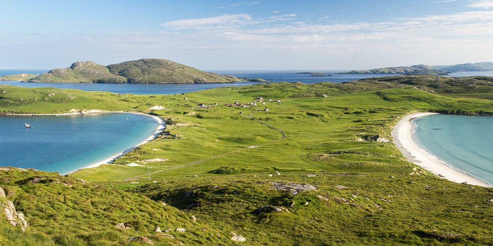
A small island right at the southern tip of the Outer Hebrides. Today, Vatersay with its dream beaches is idyllic for visitors. But around the year 1900, a bitter dispute over ownership was raging here.
Lady Gordon Cathcart wasn’t a bad person. She simply was never there. And that, in turn, gave bad people free rein. When her husband died in 1878, Lady Cathcart inherited a number of estates and islands, including North and South Uist, Barra, and the small island of Vatersay.
This was the era of the Highland Clearances, and the new owner acted very much in that tradition. She had a good number of families summarily shipped off her lands to Canada. And so the island of Vatersay became one single, vast farm – a farm its mistress never once set eyes on. This wasn’t unusual; there were plenty of such “absentee landlords” squeezing every last drop out of their estates while living the high life in the cities. They generally left the methods to their employees. Since the goal was maximising profit, tenants were either driven off their plots or had their rents raised.
Vatersay lies at the very southern tip of the Outer Hebrides, right below Barra – further south still lie the smaller islands of Sandray, Pabbay, Mingulay, and Berneray (not to be confused with the Berneray near North Uist). Some of these southern islands were still home to farming families, and their lives were hard and growing harder, while conditions on Vatersay seemed almost paradisiacal by comparison. On the larger island of Barra, too, there were crofters urgently in need of new land. The government tried to help by making new crofts available – but it simply wasn’t enough.
Vatersay was almost entirely empty.
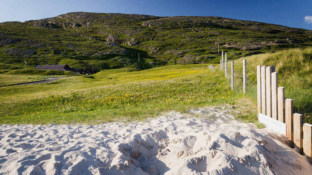
Eventually, the crofters came to a decision: ownership rights be damned, they would take a piece of Vatersay for themselves. Supposedly there was an old Irish law stating that a family couldn’t be driven off a piece of land if they’d built a house with a lit hearth fire on it within a single day. Whether such a law ever genuinely existed is debatable – what’s certain is that it had no legal standing in Britain at the time. But the men felt they were in the right. They organised boats on Barra and on Mingulay, and in July 1906, ten men sailed to Vatersay to stay for good. By 1908, 31 families were already living illegally on the island.
Lady Gordon was not amused.
What had to happen, happened: the ten original land raiders were hauled before a court in Edinburgh and sentenced to two months in prison. But the law is one thing; public pressure is quite another. By this point, the ten men had become heroes among ordinary Scots. The hardships the island raiders were fighting against were, after all, the same hardships facing countless people across the Highlands and Islands.
This public pressure eventually forced the politicians into action. In 1909, the Scottish government bought the island from Lady Gordon and divided it among 54 crofters.
Good to know: about Vatersay
Since the occupation by the Vatersay Raiders, the island’s population has fallen substantially. One reason, again, was that the island was simply too isolated from the rest of civilisation. That only changed in 1991, when a causeway road was built connecting Vatersay to Barra. Today Vatersay is the westernmost permanently inhabited island in the chain. Its roughly 90 residents (as of the 2011 census) are, in some cases, still descended from the men now remembered in history as the “Vatersay Raiders”.
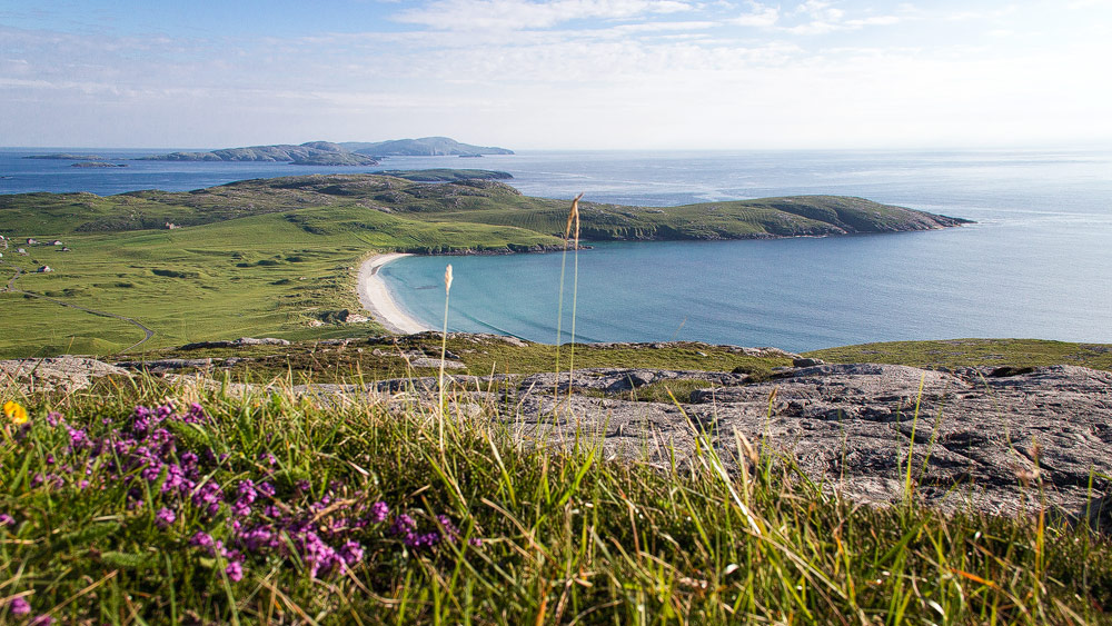
Vatersay, incidentally, isn’t particularly large – roughly six kilometres wide and five kilometres long. There’s even a hill rising to 190 metres: Heiseabhal. The main settlement is Baile Bhatarsaigh – roughly translated as “village of Vatersay” – though in truth it’s really just a small cluster of houses.
A Scottish band that became known well beyond its shores actually hails from this small community: the Vatersay Boys. Here’s a cover version of the theme song from Local Hero. https://youtu.be/1VfoxVGO-mk
Tips: beaches, memorials, villages
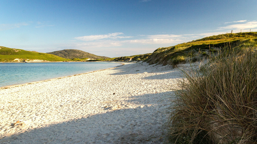
Vatersay’s “double beach” is truly beautiful, since at the island’s narrowest point, only 600 metres separate the east and west beaches. That said, the sea sometimes shows its grim side too: at the east beach, “Tràigh Siar”, you’ll find the memorial to the Annie Jane, a ship full of emigrants bound from Liverpool for Canada in 1853. Caught in heavy seas, it struck the rocks west of Vatersay and sank within minutes. Of 450 passengers and crew, only a hundred could be saved; the icy sea claimed the rest.
An equally sombre, yet beautiful, sight is the abandoned village of Eorasdail, of which only the outer walls still stand.
Personal note: running up the hill
I’d seen it in a book: both of the island’s beaches captured together in a single photo. But where had the photographer been standing? When we arrived on Vatersay in the summer of 2014, it dawned on me: only from right at the top of Heiseabhal could you get that shot.
The annoying part: it was already evening, and we still had a table booked at the guesthouse. So I only had about half an hour before we had to move on. And so I ran up the hill like a madman. You wouldn’t believe how much those roughly 190 metres of ascent can drag on when the ground is thick with mud. But I made it, and I’m proud of the shot.
Running back down the hill afterwards, incidentally, is even more dangerous …
Getting there:
With sat nav: “HS9 5YU” will bring you right into the island’s settlement.
Without sat nav: on the Isle of Barra, follow the ring road heading south until the sign “Nasg Bhatarsaigh – Vatersay” appears at the roadside. Turn off there and follow the road across the causeway. Beyond the causeway, turn right. Keep following this road, staying on the main road throughout, until the large beach appears on your left. Parking is available right by the beach.