No one lives here anymore, but nature thrives all the more. The trip to the Isle of Mingulay at the southern tip of the Outer Hebrides is a beautiful adventure.
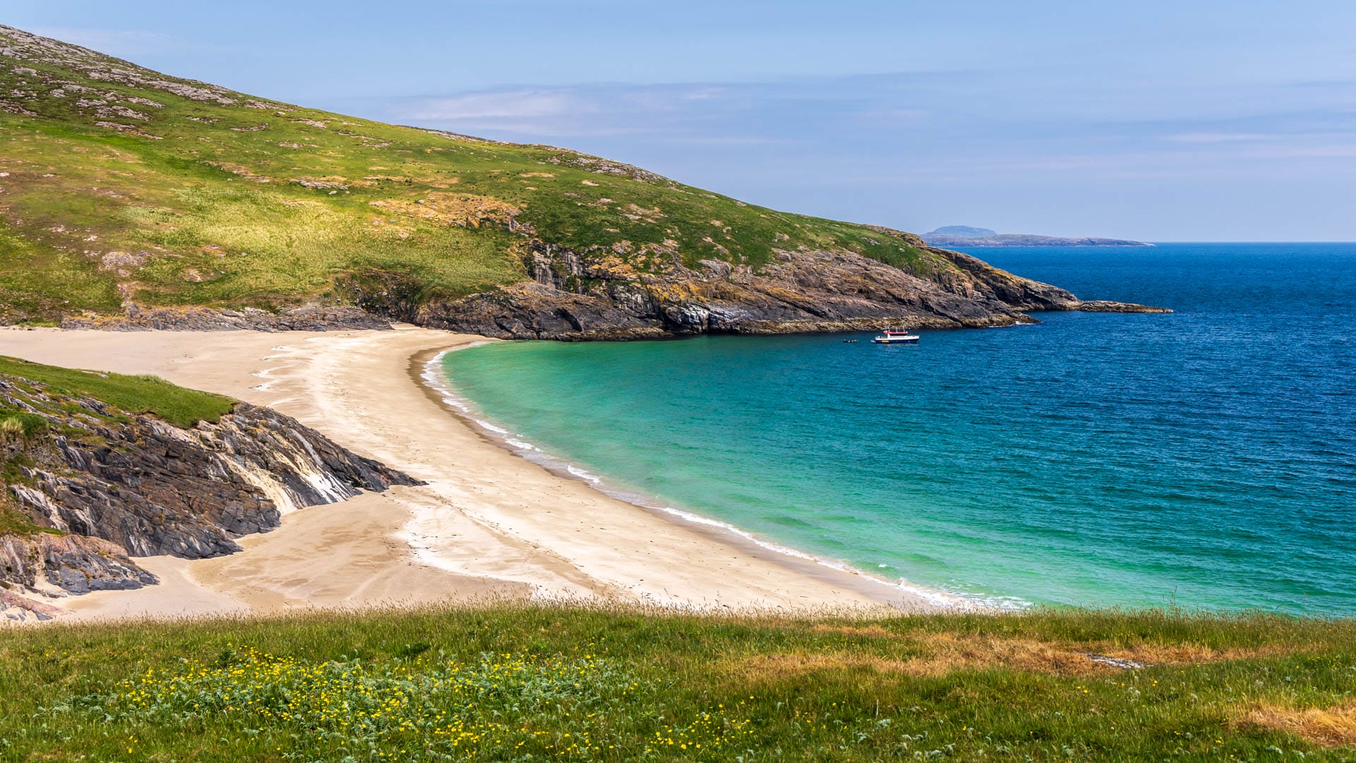
Visitors can only reach this island by speedboat across the sea. But the journey is well worth the effort. Because at the end of it lies the tiny island of Mingulay. It is especially beautiful here in summer, when puffins bustle back and forth to their nests on the hills. Flowers bloom in the meadows that rise gently from the sea before finally plunging into impressive cliffs in the west.
No one lives on Mingulay anymore – apart from the National Trust for Scotland’s seabird ranger. That wasn’t always the case. And the traces of its former inhabitants can still be seen today, letting you imagine what life on the island was once like.
Mingulay is one of the Bishop’s Isles, or Barra Isles, at the very southern end of the Outer Hebrides. These are all the islands from Vatersay (currently only available in German) southward. Three of them are now protected nature reserves managed by the National Trust: Mingulay, Pabbay and Berneray. Mingulay is the largest of the three, about 4.5 kilometres long and around 2.5 kilometres wide. Its sights can be explored on a boat tour.
Mingulay boat tour: A journey in three acts
The tour to Mingulay starts in Castlebay (currently only available in German) on Barra, though there is also an operator from the island of Eriskay (currently only available in German). We travelled with Hebridean Sea Tours.
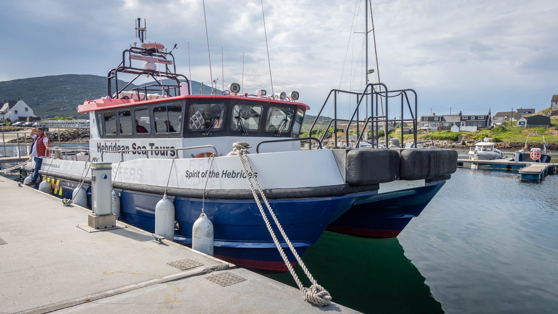
As the boat sets off, Kisimul Castle (currently only available in German) draws every eye. The crossing is anything but dull. The boat first passes Vatersay, then the islands of Sandray and Pabbay. Seabirds and seals appear again and again here, using the rocky coastlines as launch pads.
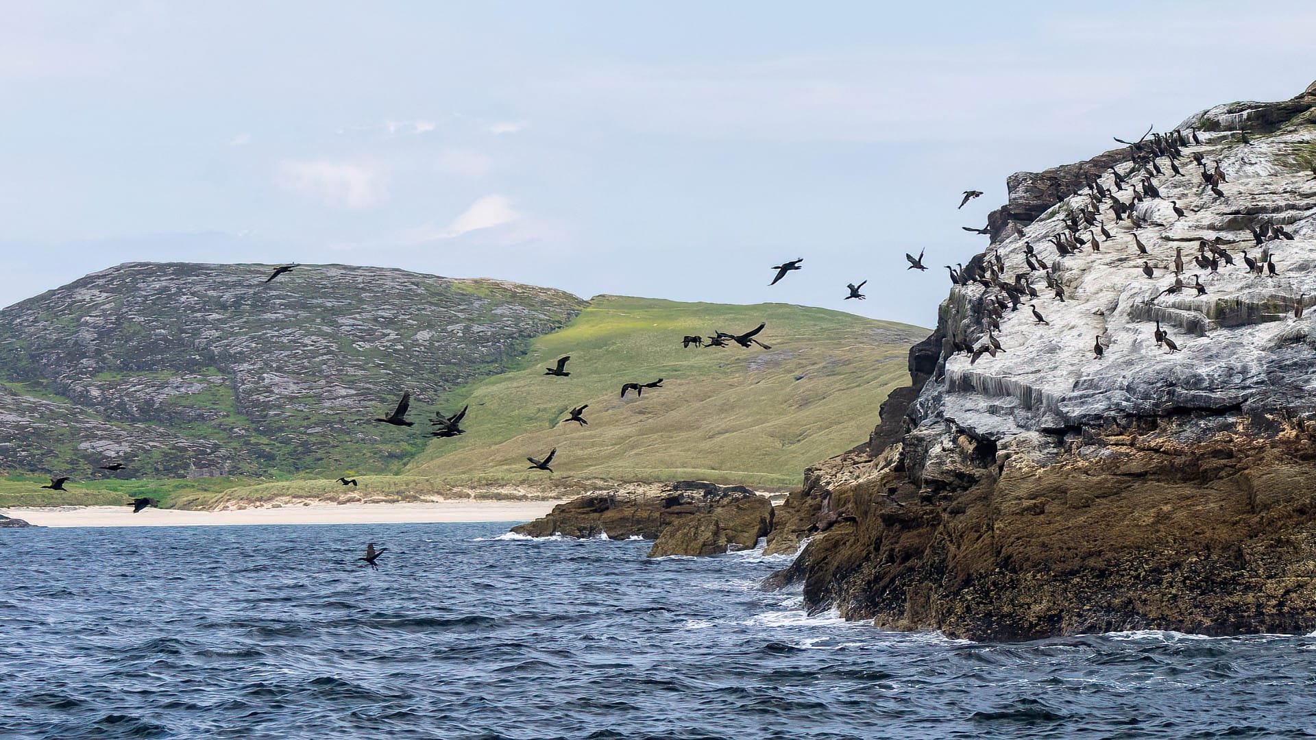
On Pabbay’s steep cliffs, another species can be spotted: climbers. The island’s rock faces are considered a genuine challenge.
Visitors to Mingulay have to do a little climbing too. After roughly half an hour’s crossing, the large boat anchors in the bay in front of the big sandy beach. A tender then brings passengers ashore – though it moors at a rock that has to be scrambled up first. Sturdy footwear pays off here.
That, however, is already the hardest part – from here on, the second act of the journey can be fully enjoyed. Visitors have three and a half hours on Mingulay. The first highlight in early summer: a puffin colony nests right on the hill above the landing point.
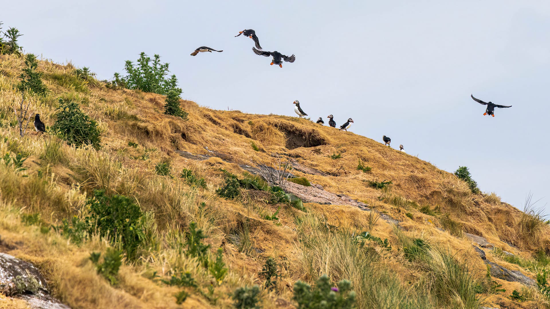
Walking up the slope, visitors can watch these wonderful birds take off and land. They dart busily in from the sea, beaks full of fish for their chicks in the burrows.
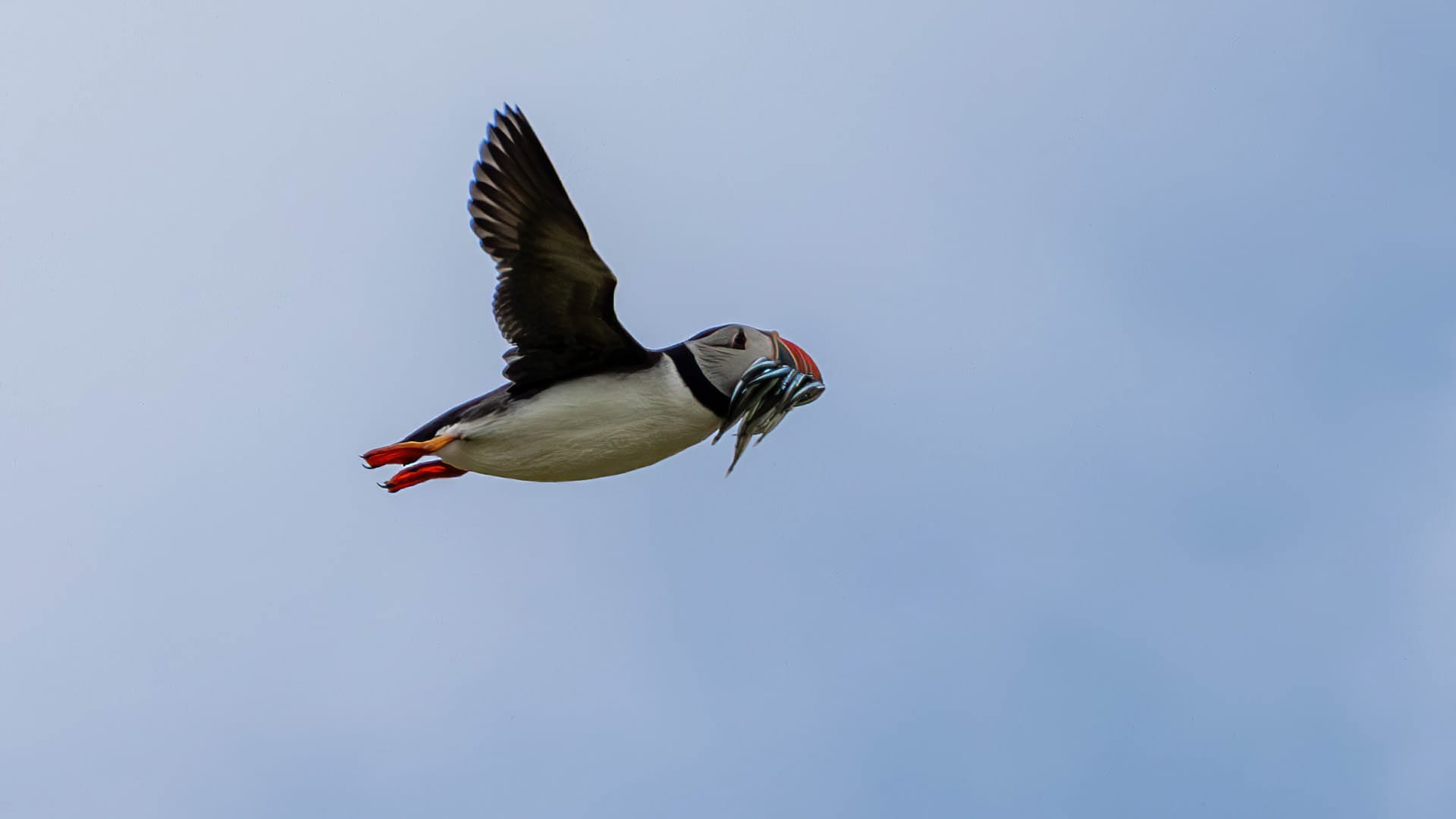
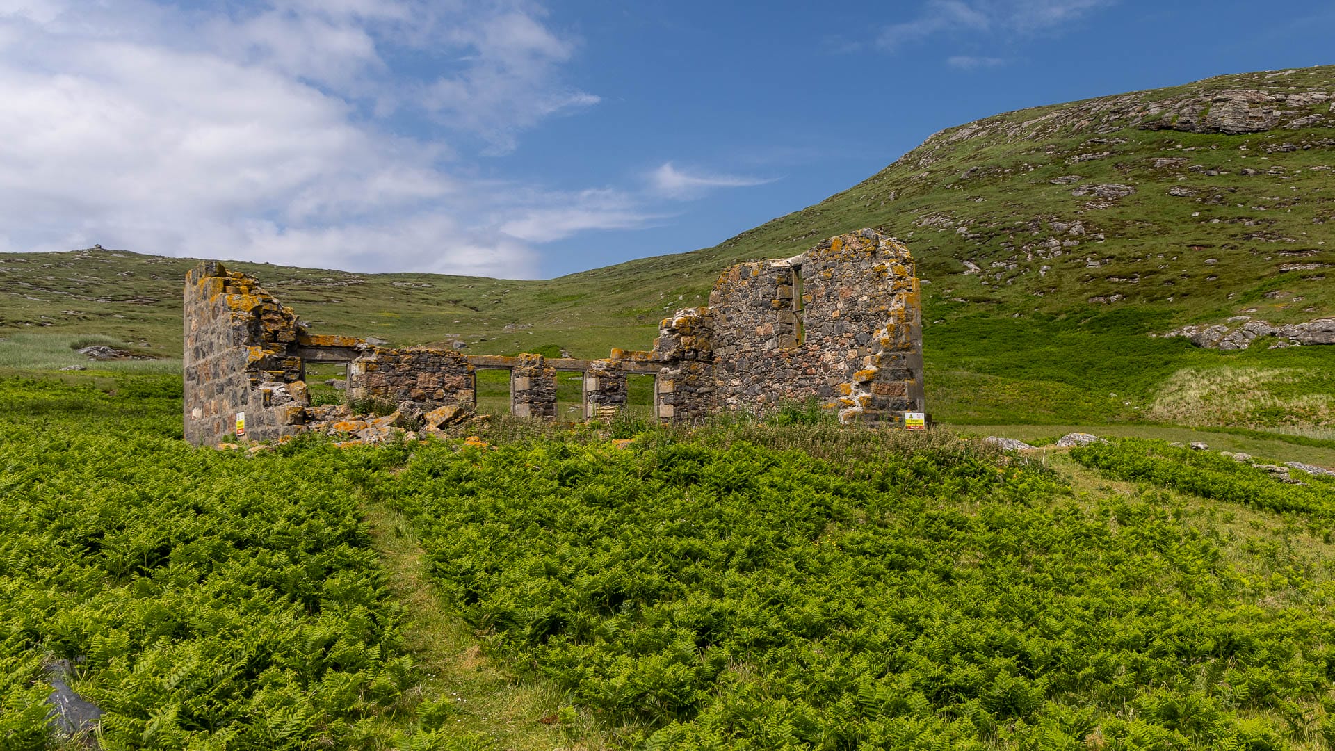
Apart from the handful of visitors arriving by boat, the puffins and other birds such as oystercatchers can breed here undisturbed. They have taken the place of the island’s former inhabitants. The last people left the island in 1912. The remains of their houses can still be seen today.
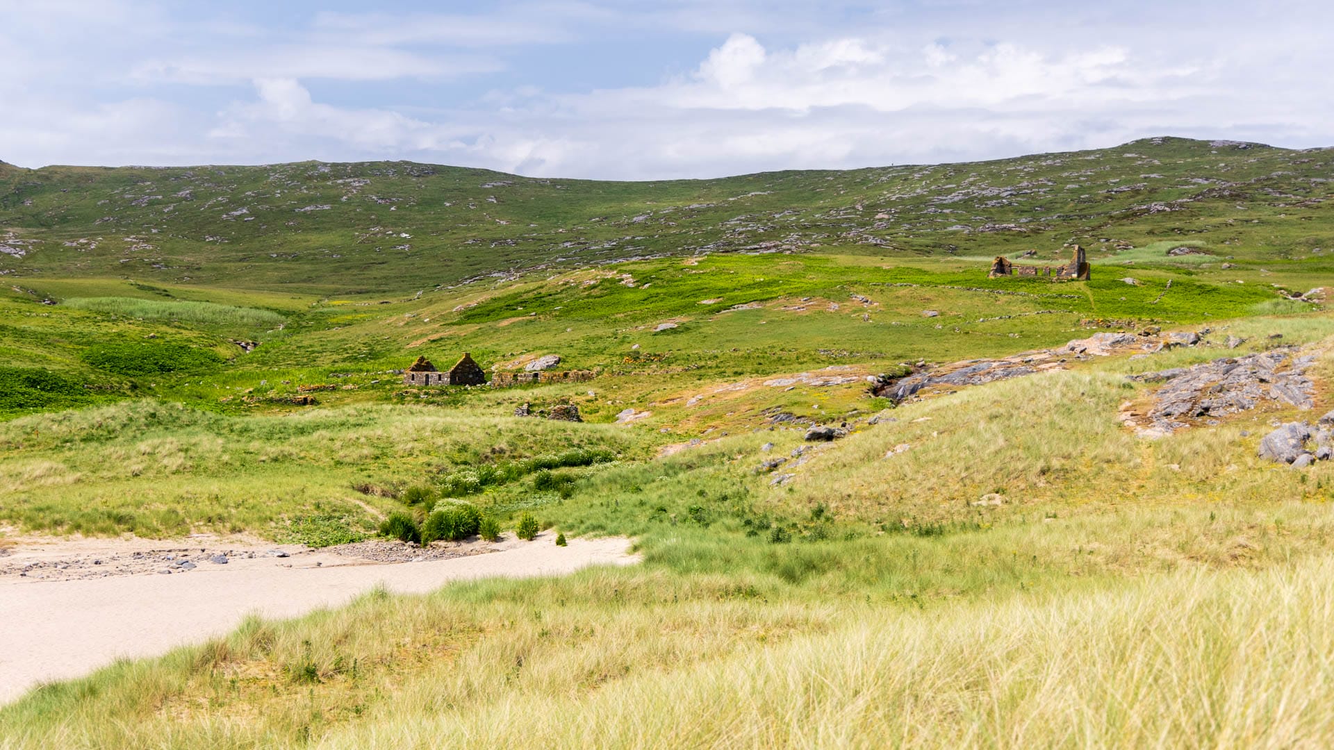
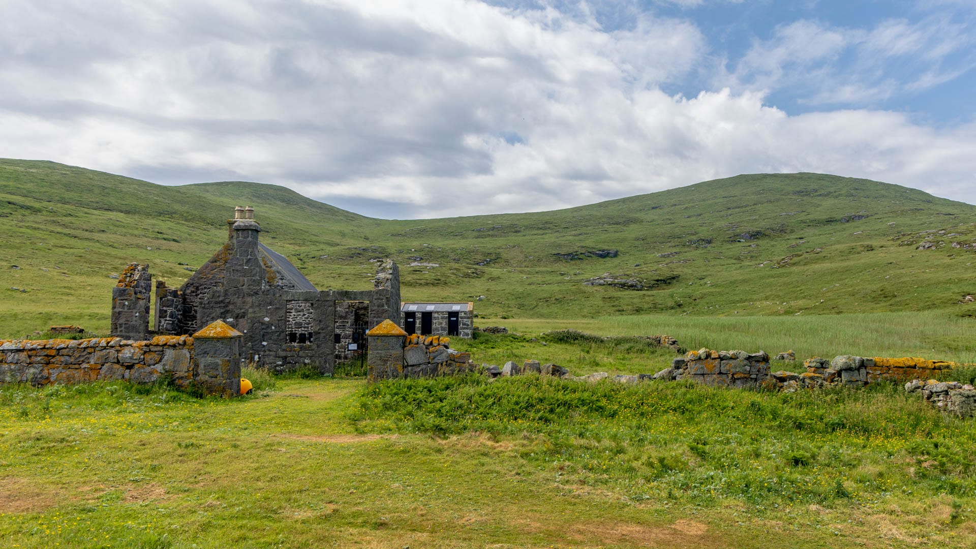
One of the buildings appears to be better preserved, and larger. To visit it, the path leads along the beach and then up a hill at its far end. It is the old schoolhouse. In a side wing, the ranger has his shelter today. Inside the schoolhouse, a series of information boards tell the story of the island’s former inhabitants.
From the school, a narrow path leads back past the old houses up to the former church. It takes little imagination to picture the children walking this route to school every day – and it’s fun to follow it towards the church yourself.
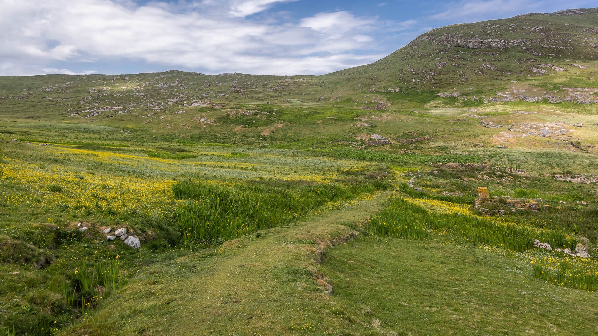
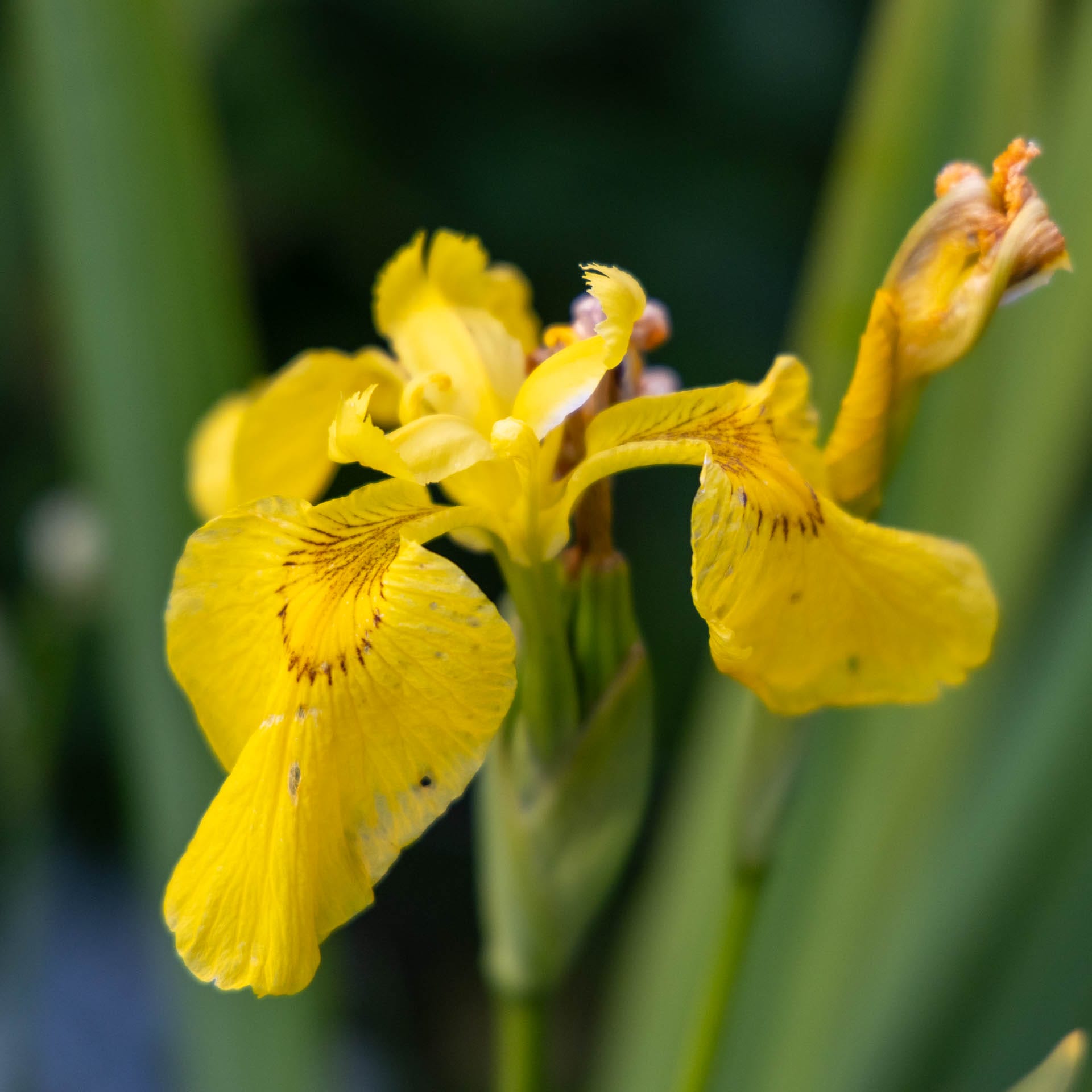
It’s worth stopping again and again along the way. Birds such as oystercatchers can regularly be spotted on the rocks. And beautiful flowers bloom in the grass at the path’s edge: orchids and yellow flag irises can be seen.
The path continues up to the old church, the other end of the former village.
From the church, the path continues west towards the island’s cliffs (take care!). Anyone wanting a wider view instead can climb Carnan, the island’s highest hill, in the south-west. At 273 metres, fit walkers can manage the round trip in about an hour. Or: simply enjoy the beach, or keep watching the seabirds.
Either way, time on the island usually passes far too quickly. After three and a half hours, it’s back to the boat. At least there’s a warming cup of tea waiting there first. Because the trip is far from over. The third act of the tour leads into the magnificent cliff landscape to the west of the islands.
It begins with a passage around the south of Mingulay. This opens up a view of the island of Berneray (not to be confused with the Berneray (currently only available in German) in the north), topped by a lighthouse.
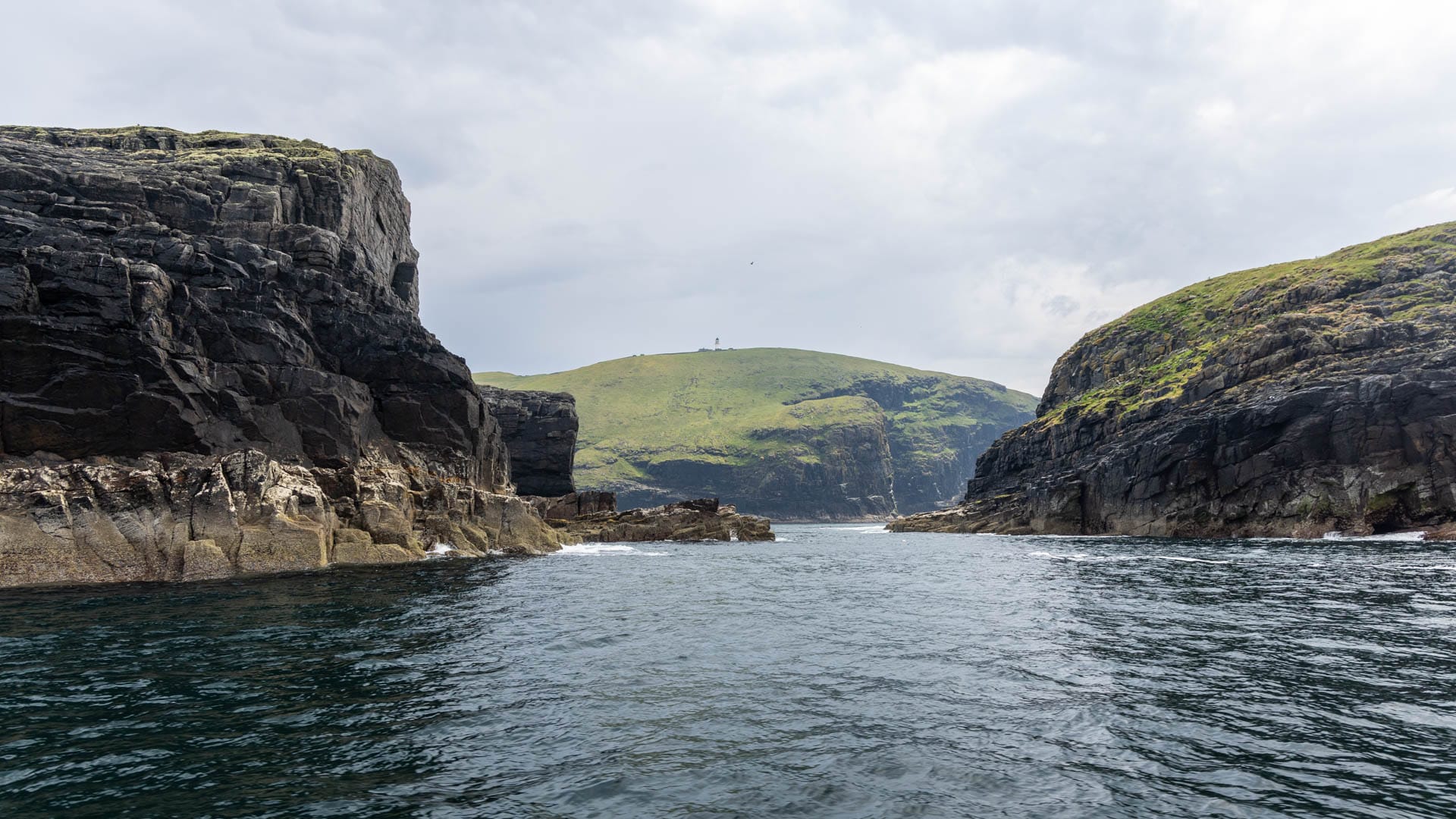
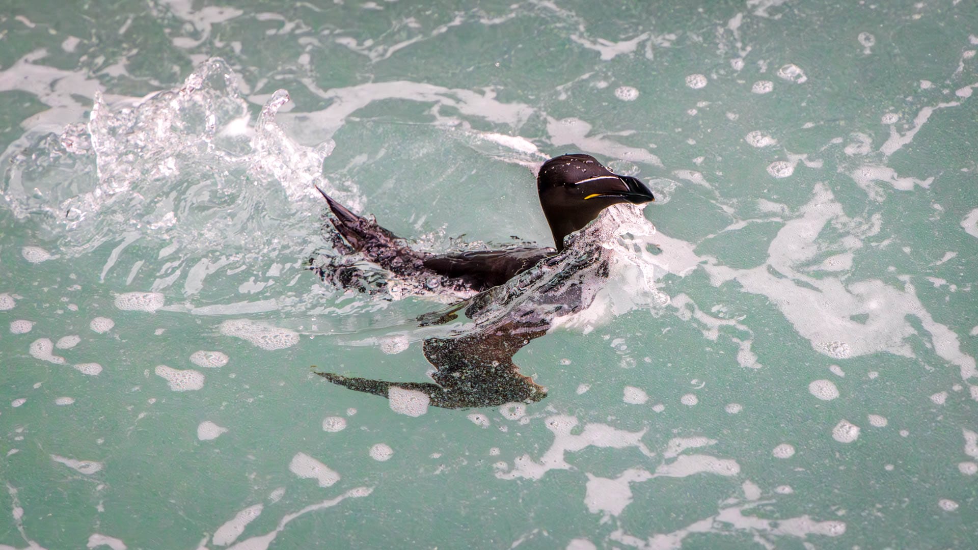
After rounding the island, the skipper turns north, hugging the coastline. It’s worth looking up here, as eagles also launch their hunts from the towering cliffs. At the foot of the rocks, meanwhile, sit razorbills, diving again and again in search of prey.
If the weather allows, the skipper dares a special route: straight through a huge natural rock arch.
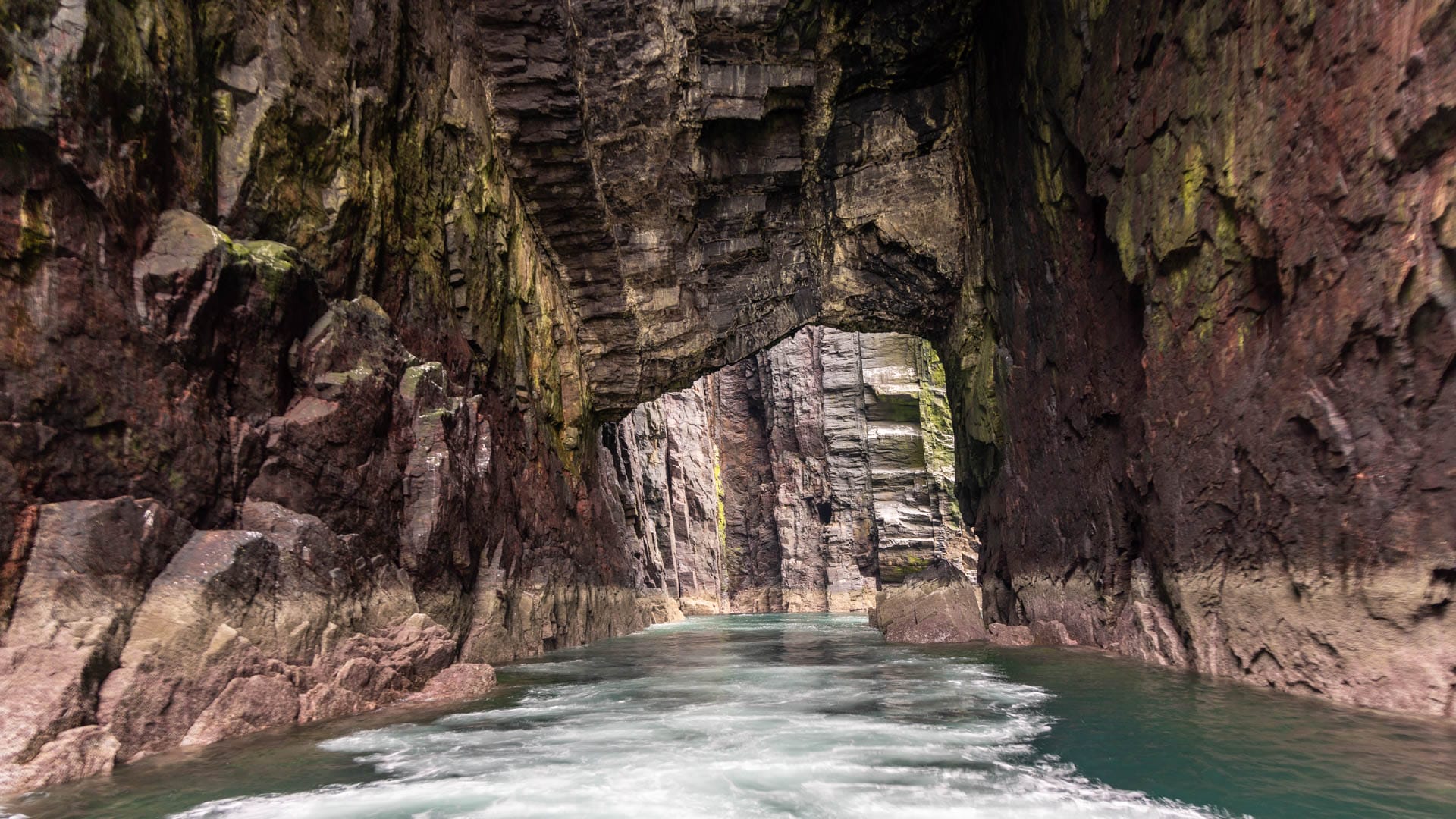
Within the maze of rocks, large basins suddenly appear, where seals also come to rest.
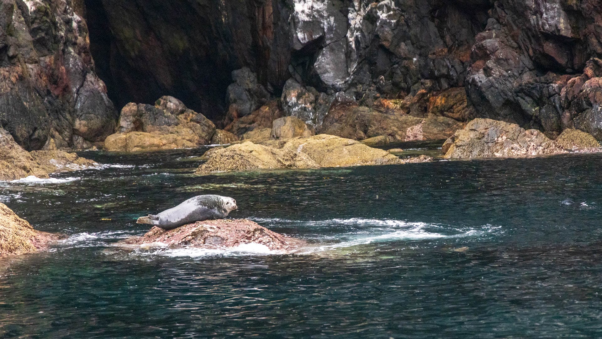
This remarkable landscape enchants the people on board for about an hour. Time flies far too quickly. But eventually it’s time to head back to Barra. It’s still worth keeping an eye out for eagles. And if you’re lucky, the “Barra Boys” offer one last highlight. This pod of dolphins often escorts incoming boats into the harbour. Wonderful!
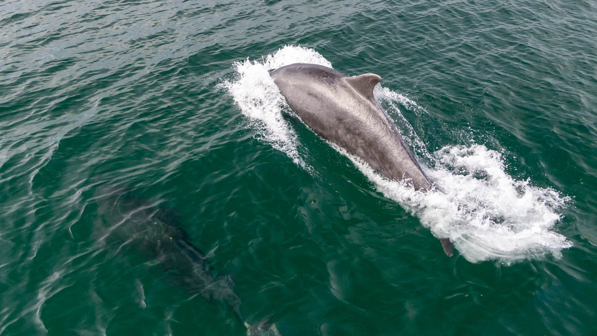
After around six hours, the tour is over. The trip to Mingulay is a lesser-known alternative to the expensive excursion to St Kilda. A wonderful day-filling tour for anyone wanting to experience Scotland’s wild nature.
Good to know: Mingulay and the Bishop’s Isles
Before the last inhabitants left the island, the whole chain of islands south of Barra was populated. What is known today as the “Barra Isles” were once the “Bishop’s Isles”. This small archipelago had, in fact, formally belonged to the domain of the Bishop of the Isles since 1427. But that was only “on paper” – the seat of the diocese was far away. Clan MacNeil of Barra, on the other hand, resided at Kisimul, and possessed galleys, men and swords. So the MacNeils held on to the Bishop’s Isles for a long time “by sword”.
30 families, around 135 people, once lived on the island, whose name comes from Old Norse and means “big island”. Mingulay was inhabited for thousands of years, but by around 1900 the hardships had become too great. In 1906, some of Mingulay’s residents, together with people from Vatersay, illegally occupied land on Vatersay. They became known as the Vatersay Raiders (currently only available in German).
Getting there
With a sat nav: The tour starts at Castlebay Marina, postcode “HS9 5XE”.
Without a sat nav: Whichever direction you drive Barra’s ring road, you’ll pass through Castlebay. In Castlebay, a sign points towards “Horve” and the “Hospital”. This leads to the marina, a gravel car park from which the boat jetties lead off.
Tour operators
- From Eriskay: Uist Sea Tours
- From Barra: Hebridean Sea Tours
