Muir of Dinnet and Burn o’ Vat – a walk through the millennia
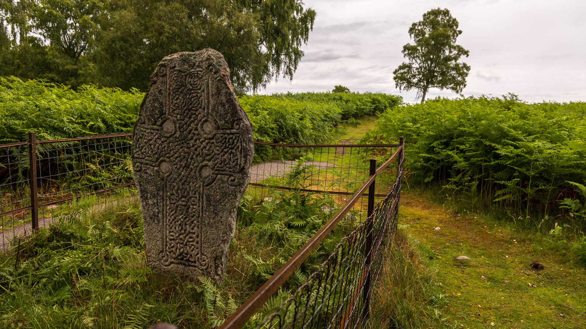
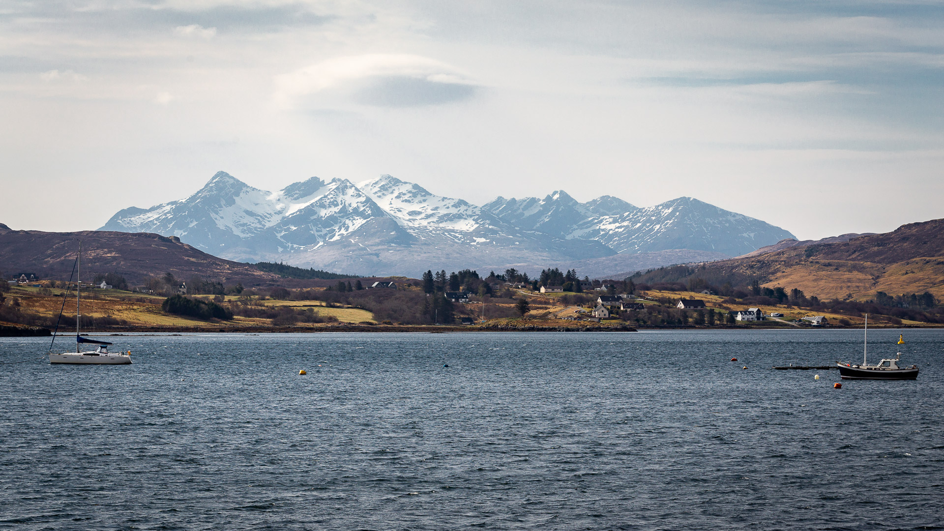
In the Muir of Dinnet nature reserve in the Cairngorms, trails lead not only through beautiful countryside, but also through history.
You are currently viewing a placeholder content from Booking.com - Affiliate. To access the actual content, click the button below. Please note that doing so will share data with third-party providers.
More InformationYou need to load content from reCAPTCHA to submit the form. Please note that doing so will share data with third-party providers.
More InformationYou are currently viewing a placeholder content from Turnstile. To access the actual content, click the button below. Please note that doing so will share data with third-party providers.
More Information