On Scorrybreac once lived the chief of the Nicolsons on the Isle of Skye. Today, a circular trail leads through the history of the clan.
They stand in the shadow of the great clans of Skye, in the shadow of the MacLeods and the MacDonalds. Yet many people bear the name on the island: MacNeacail, or “Nicolson” in English. The name is associated with a piece of land near the capital Portree. There, the Clanchief once had his seat on a piece of land called Scorrybreac. Today it is open to everyone and is meant to make MacNeacail history walkable.
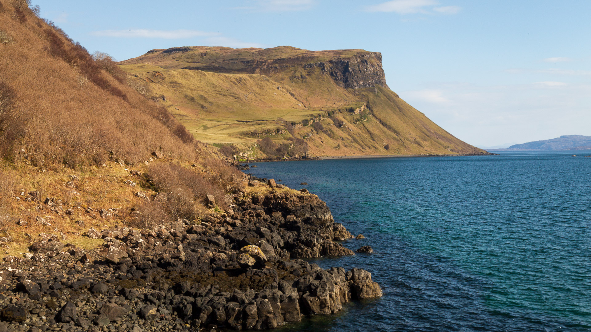
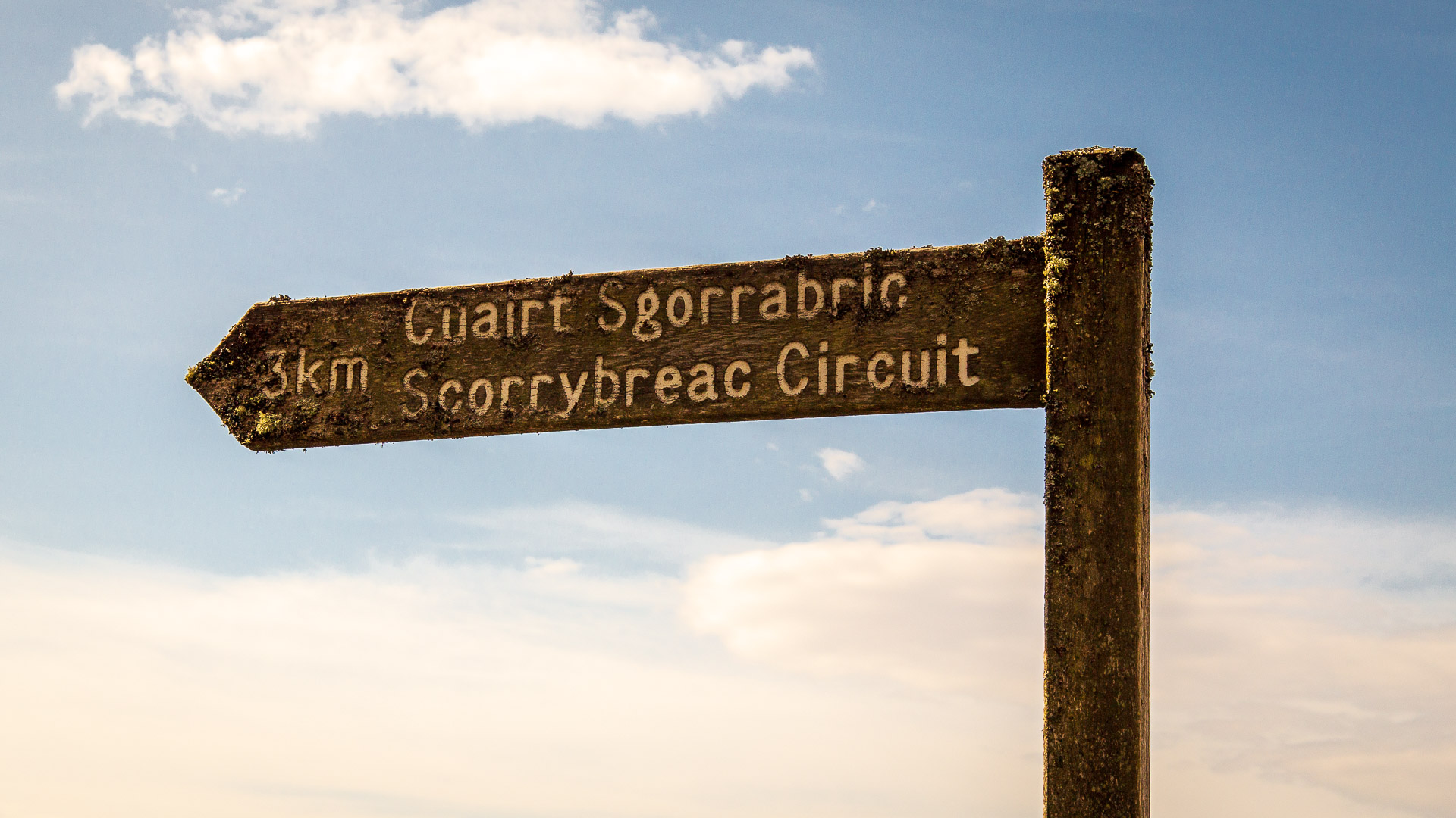
The roughly two-hour excursion is well worth it. It takes you along the sea, through enchanted woods, past stone monuments and always opens up breathtaking views. The Scorrybreac circular walk is only about three and a half kilometres long, yet it has a sharp climb and the path gets a little rocky at times. But let’s take it one step at a time.
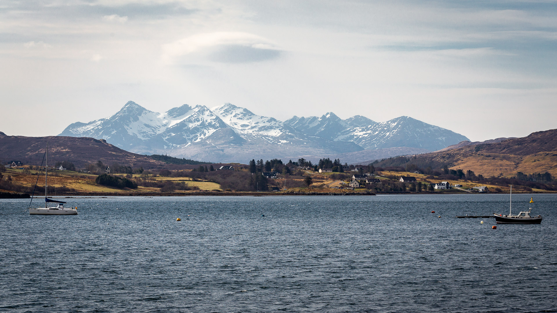
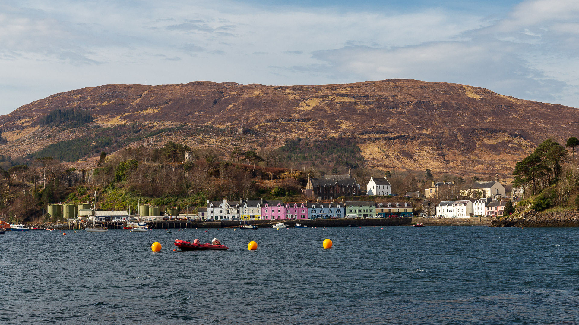
We start at a small parking place opposite the harbour of Portree. Already here, the walker has a nice view to Portree on the other side and a little further to the left also the wonderful Cuillins.
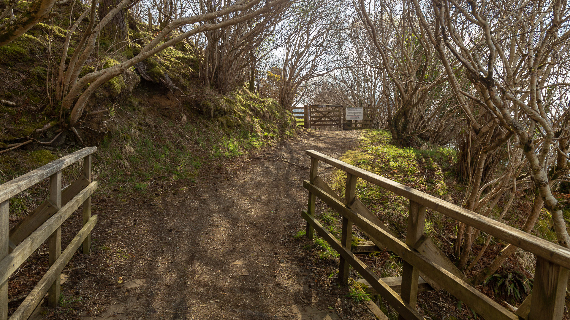
At the car park the path starts, initially passing through a gate where Clan Nicolson is also pointed out.
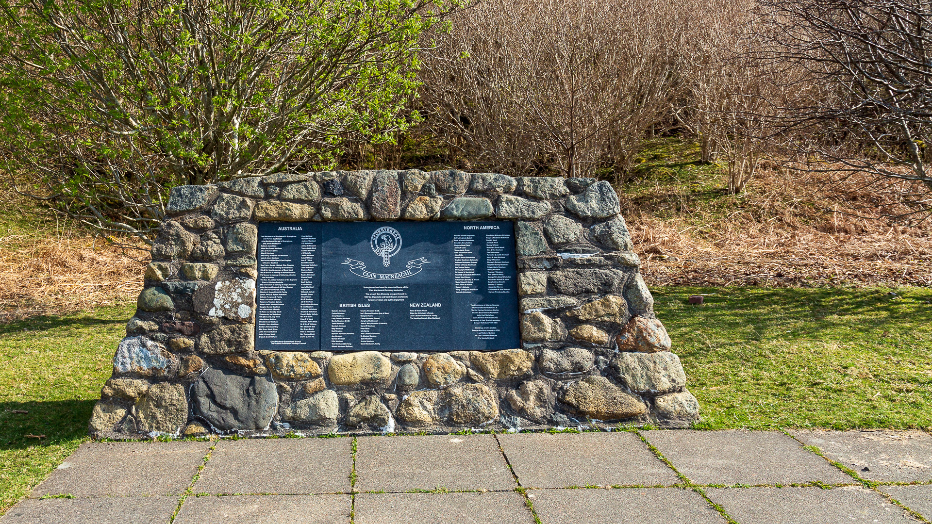
Very soon the visitor reaches the foot of the hill where the Clan MacNeacail has erected a monument to itself. With a Scottish flag, as befits their status.
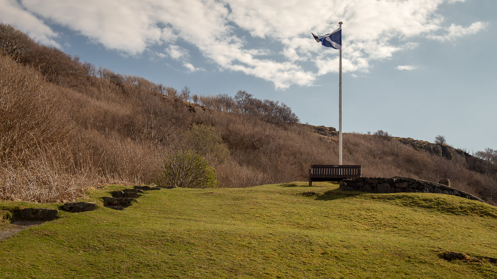
Here, members of the clan have immortalized themselves on a plaque for doing their part to preserve the country. It shows quite well to which corners of the earth the family members have made their way.
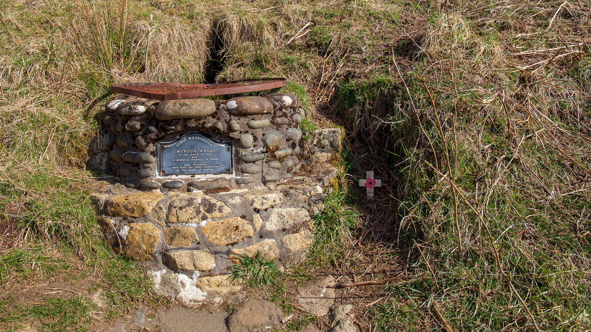
From the memorial, there is a really nice view over to the Cuillins Massif. Once you’ve had your fill, the trail continues down at the base of the hill. It soon reaches Murdo’s Well, an enclosed spring commemorating the clan’s fallen in the world wars.
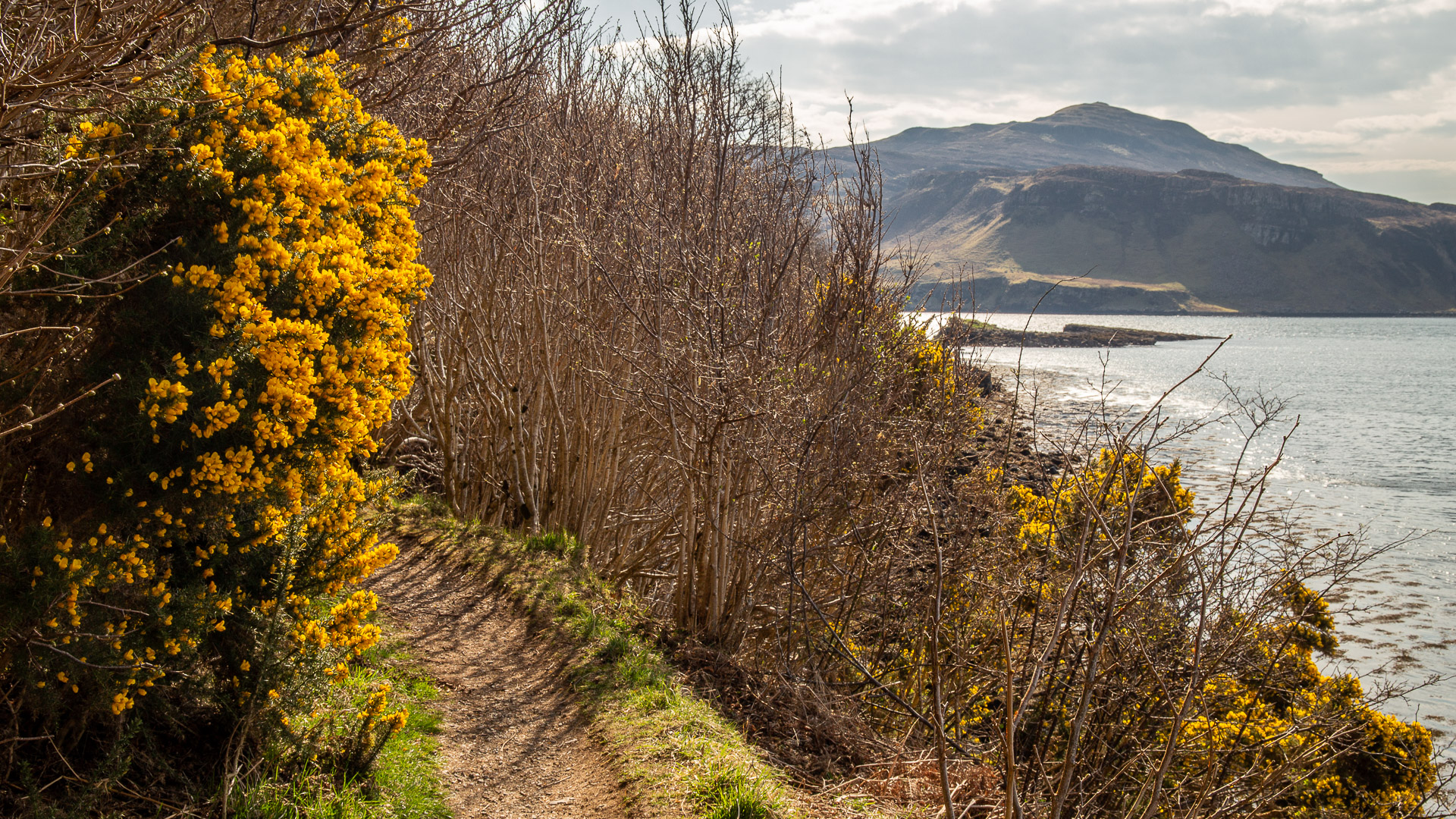
Should it be spring, flowering gorse lines the path along the shore.
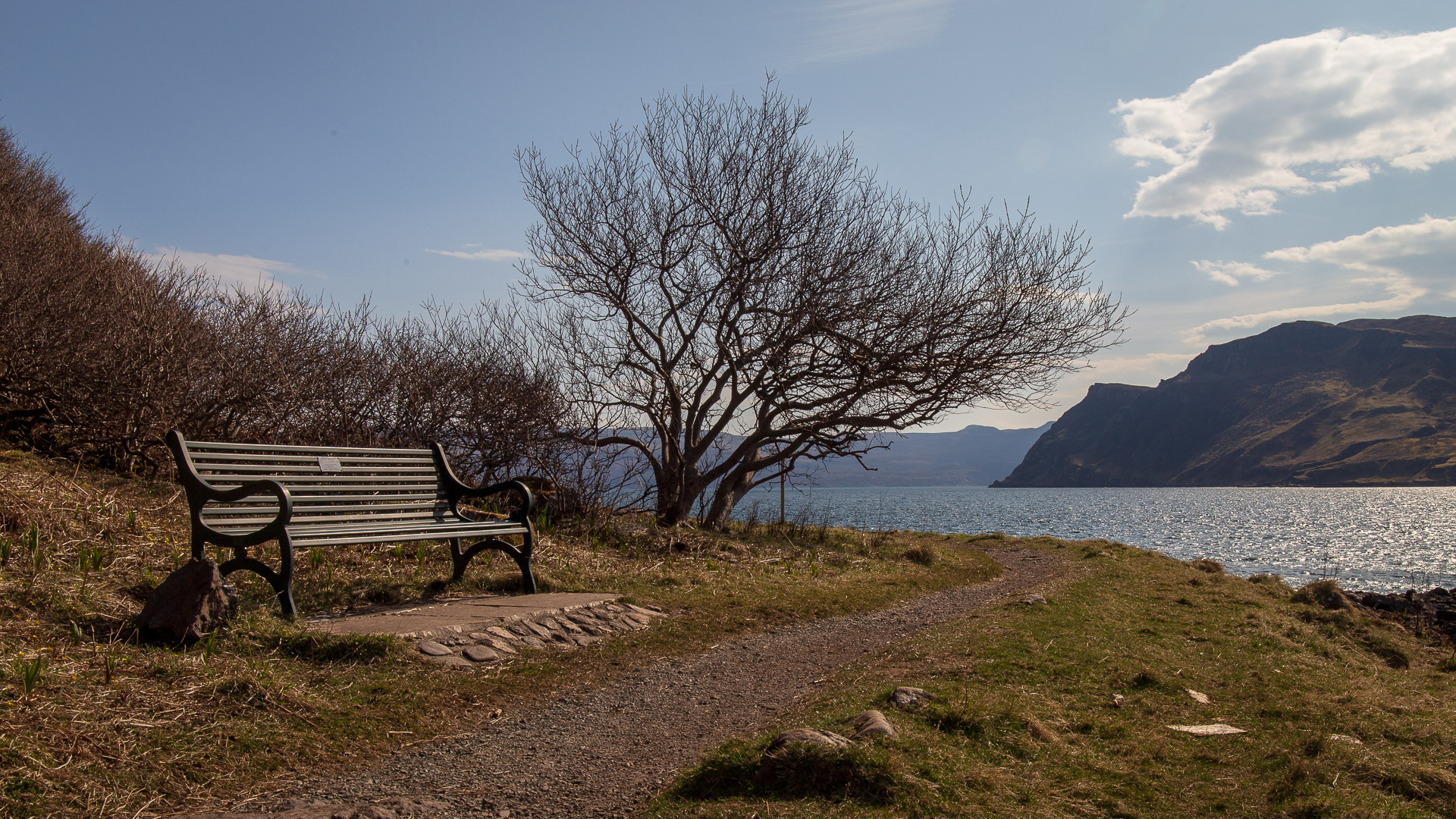
Soon the tip of the headland at Scorrybreac is reached. If you want to rest a little after the short stretch, you can sit on the bench and look out over the Straits of Raasay, the Cuillins and Portree.
Where people now enjoy the view, however, once stood cannons that protected the harbour of Portree during the wars with Napoleon. That is why this place is also called Battery Point.
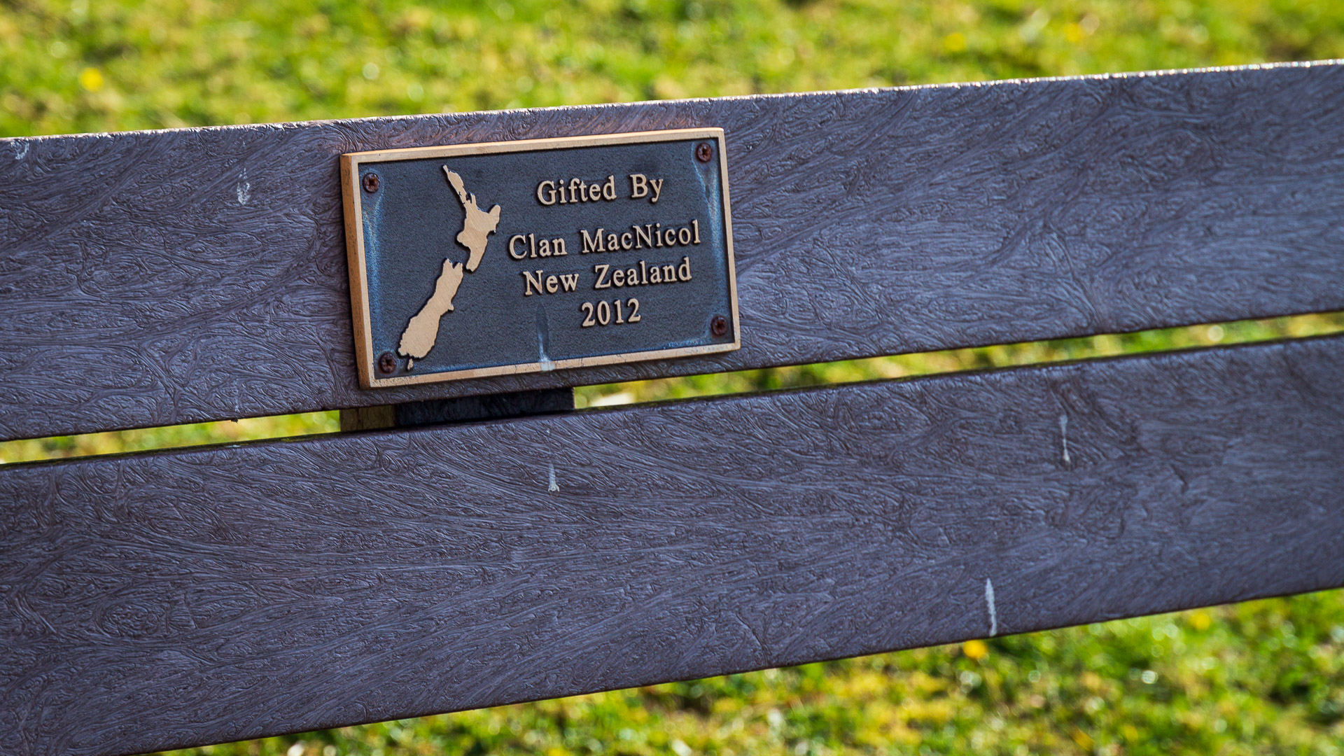
Around the bend you will again find some stone buildings. Another enclosed spring and a stone bench referred to as “Pam’s View”. It was the favorite view of Pam MacNeacail, the wife of a 20th century clan chief. The bench is said to be a constant reminder of her.
After this, the path becomes stonier, the view more formidable. For before you rises Creag Mhòr, the great rock. Towards the sea, it drops by almost 300 metres.
If you want to leave it at an easy walk, you can turn around here and take the trail back to the parking lot. All others follow the path, which soon turns left and climbs a quite steep section up Ben Chracaig, which again offers views of Raasay Island.
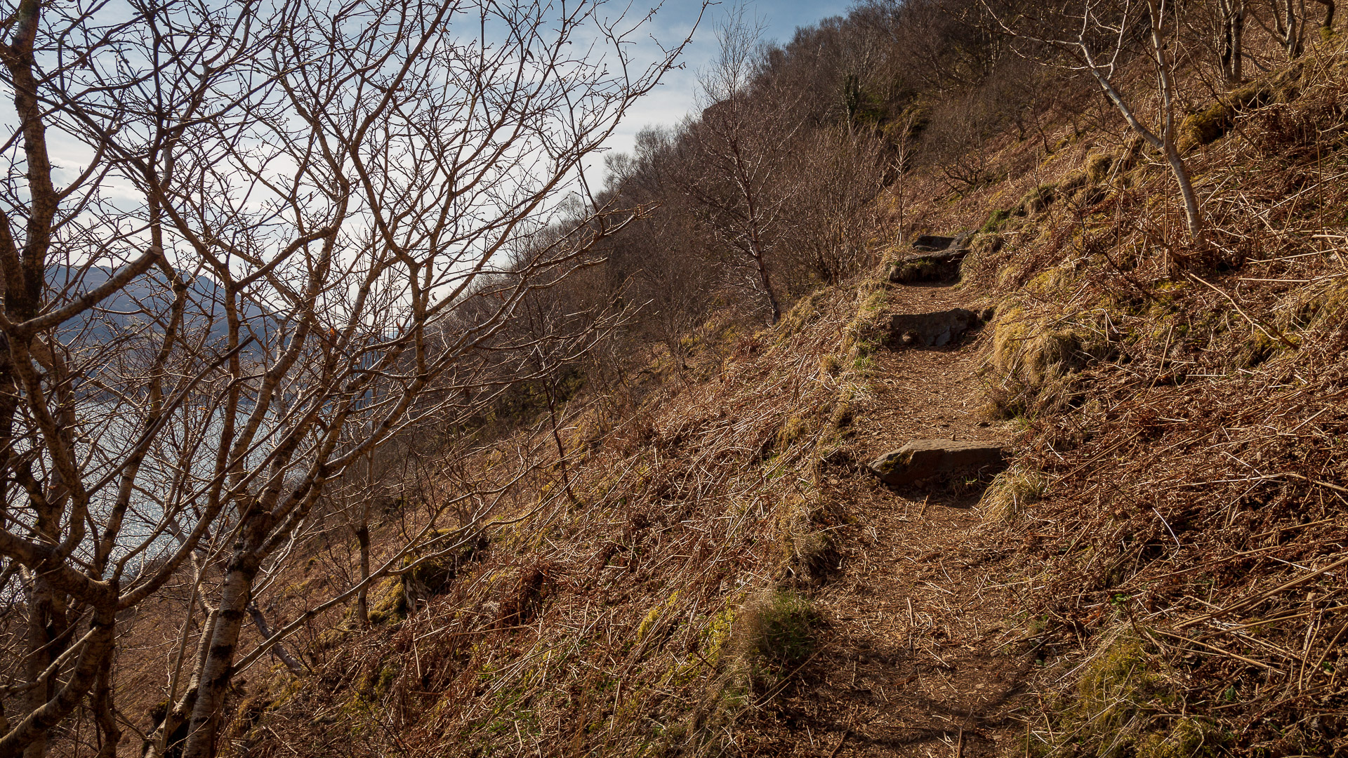
After all, should the sun shine, the small forest here provides cool shade and makes for an enchanting atmosphere.
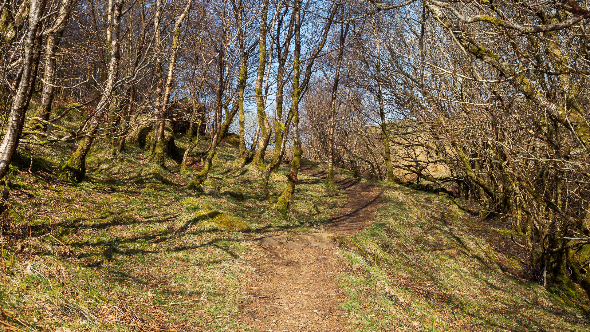
The sea slowly disappears at our backs as the land of Torvaig opens up ahead, where the Clanchief’s house once stood. Once more you pass through a copse, then the path finally reaches a small road. Bear left here and you reach the Cuillin Hills Hotel. There you take the lower road and back to the car park where the trip began.
Background: Scorrybreac as home of the Clann MhicNeacail
This clan comes a long way. From the Scottish mainland to Skye and on to Australia. Yet today the descendants of Nicolson, the Clann MhicNeacail, once again hold a piece of land on the island. Scorrybreac or in Gaelic “Sgoire breac” means “spotted hill”.
The Nicolson name is still common on Skye today, though not all are descended from the Highland clan MacNeacail. Many also come from Lowland families who also happen to be named Nicolson.
The MacNeacails held large estates in the 12th to 14th centuries, for example, also on the Scottish west coast around the village of Ullapool and on the Isle of Lewis. However, the main male line died out in the 14th century, all their estates inherited by a daughter of the house and brought by marriage (some say forced) into the family of the MacLeods of Lewis, who thus also ruled Assynt in the future. The remaining MacNeacails moved to Skye and settled at Sgoire breac on Ben Torvaig near Portree.
The MacNeacails are said to have officially stayed out of the Jacobite Rebellion of 1745/46, although some fighters fell on the side of the Stuarts at Culloden. On his escape across Skye, the Chief is said to have taken in Bonnie Prince Charlie. The Chief in Australia today still keeps a lock of the Prince’s hair and his drinking glass. And Charles Edward Stuart’s crossing to the Isle of Raasay started from the point where the lookout bench now stands, Sgeir Mhòr.
The Nicolson lived on Scorrybreac for several centuries until their chief sold the land in 1826 and emigrated to Australia. In 1987, several members of the clan from overseas and Skye re-acquired the land around Scoirebreac. The property is now managed by the Nicolson Clan Trust.
Directions and tour on map
With sat nav: “IV51 9QU” is the postcode of the Cuillin Hotel. From there, continue as described below.
Without sat nav: From the main road at the north end of Portree, “Scorrybreac Road” branches off. The signposts here write out “Budh Mòr” and the Cuillin Hills Hotel. Follow this road, passing the hotel on the right. At the end you will find a small car park with information boards about the circular route.
