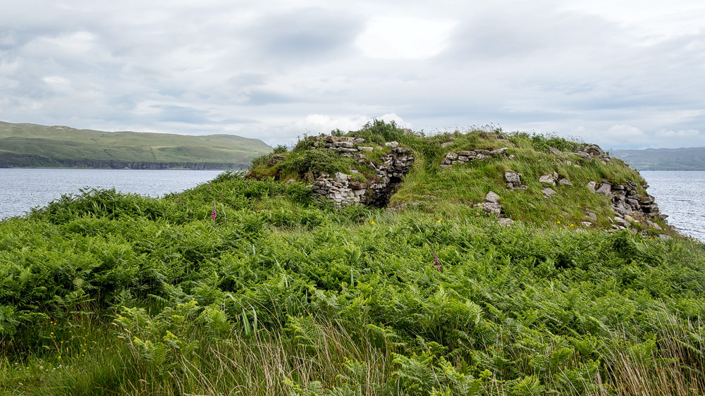
Covered by heather and bracken, perched on a rocky outcrop jutting into the sea, is the Iron Age fort of Dun Ringill. The way there is an exciting excursion into the wilderness.
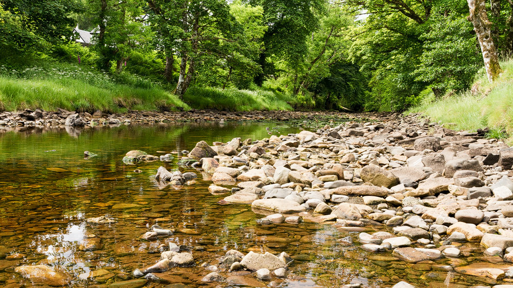
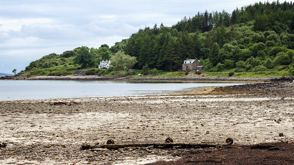
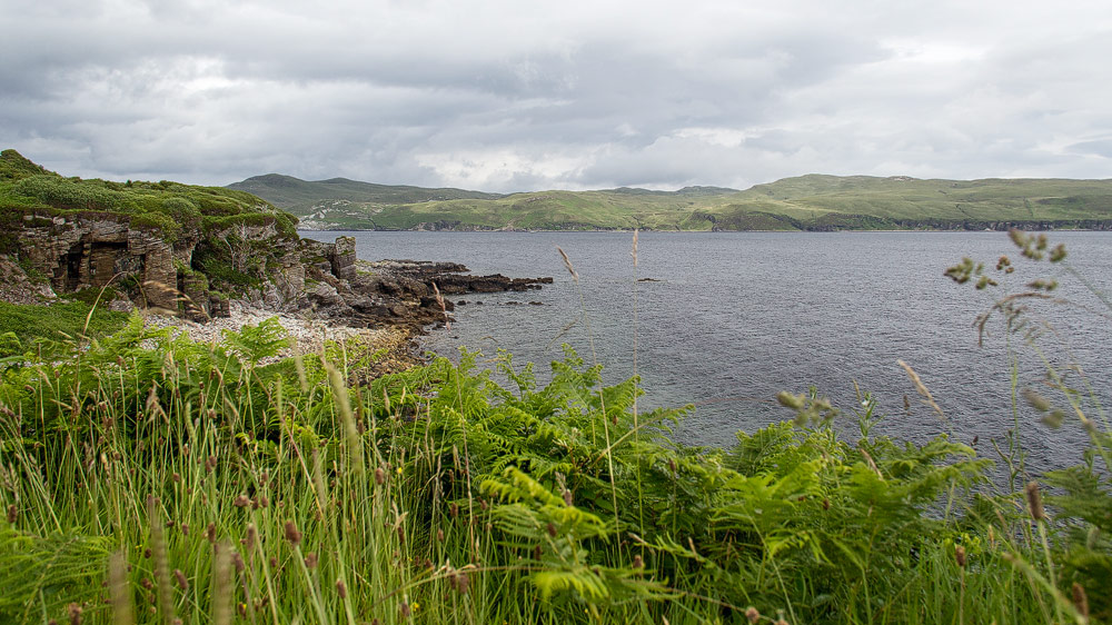
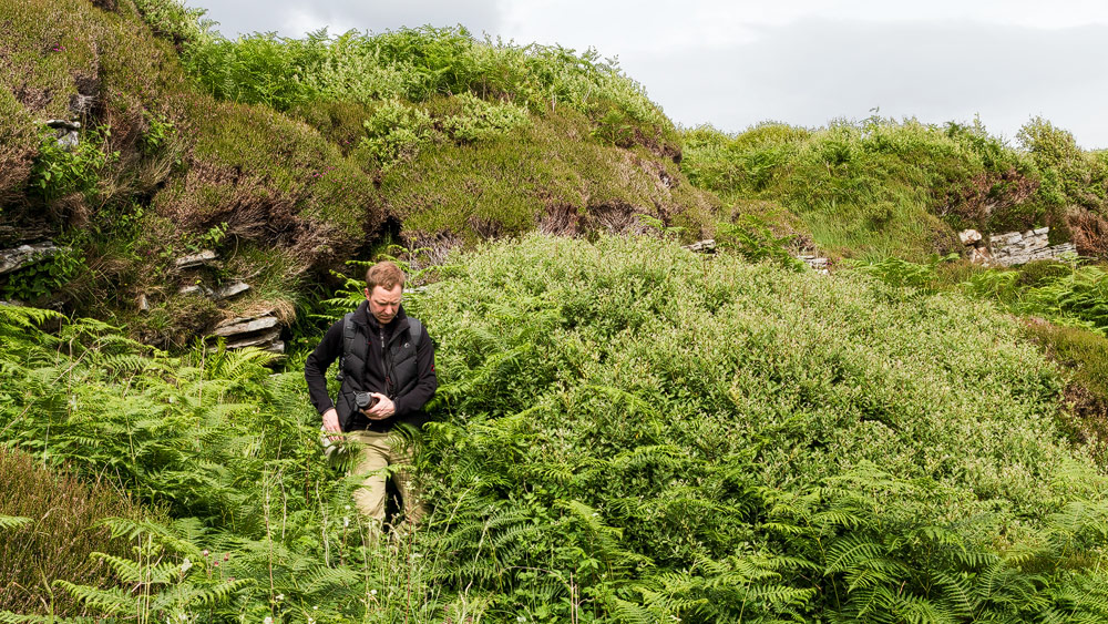
Where the small river Kilmarie flows into the bay of Loch Slapin, a small forest has even formed. Tall and old trees grow around the shore, the lush greenery in between, gives it almost a jungle character. And indeed, the hike to Dun Ringill can become a short trip through dense vegetation that gives the hiker the feeling to walk on the tracks of Indiana Jones. Additionally, it offers fantastic views over Loch Slapin to the opposite peninsula Sleat.
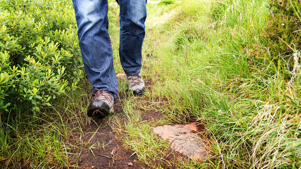
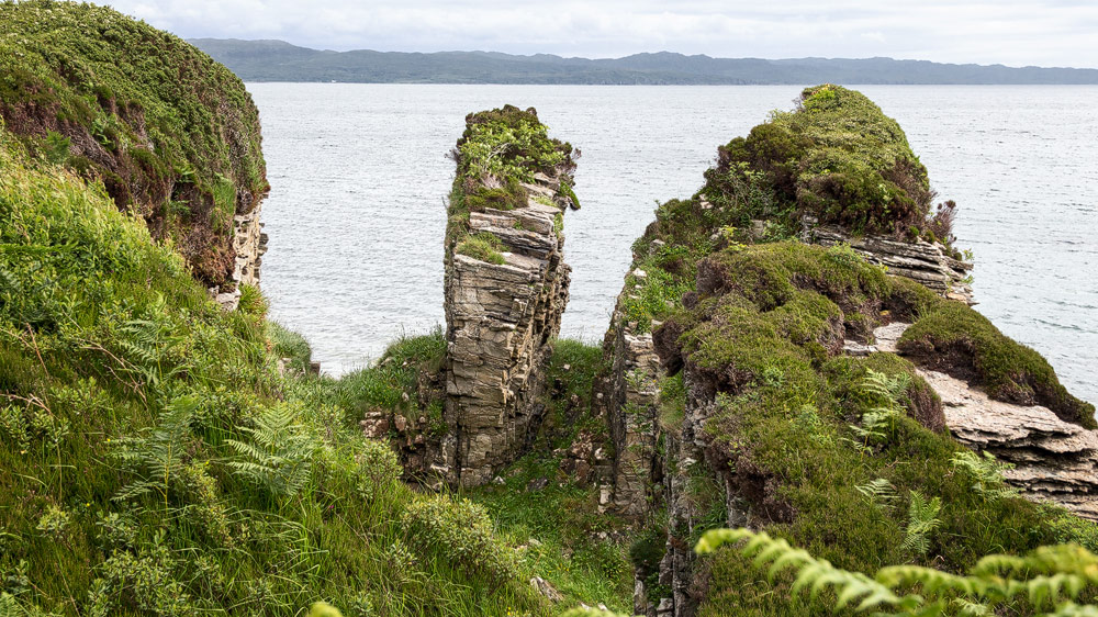
Dun Ringill is situated on a small rocky outcrop that juts into the sea. The way there is a narrow, sometimes muddy path, lined with dense ferns, tall grass and heather. You have to walk about a kilometre to arrive – if you find the way straight away.
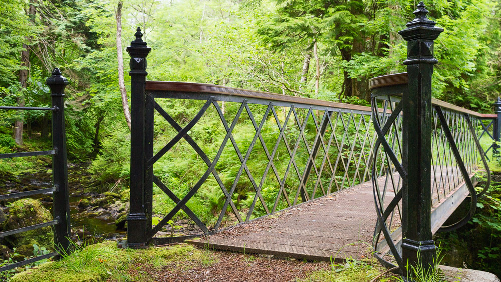
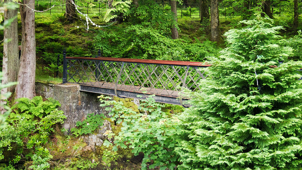
It’s not difficult at first. You leave the car by the road, and the only way across the river is over the old iron bridge. Over there the path leads along the shore until you find yourself on the beach of Loch Slapin. All too easily, the beautifully overgrown rocks and shells lure you away. And so it can easily happen that you miss the climb further up over the fence, which leads you further along the path to the Dun.
Anyway, that’s what happened to us and we ended up down on the coast at some sort of rocky outcrop from which there was no further along the coast. so we had to find a way inland. At some point we luckily met the path again.
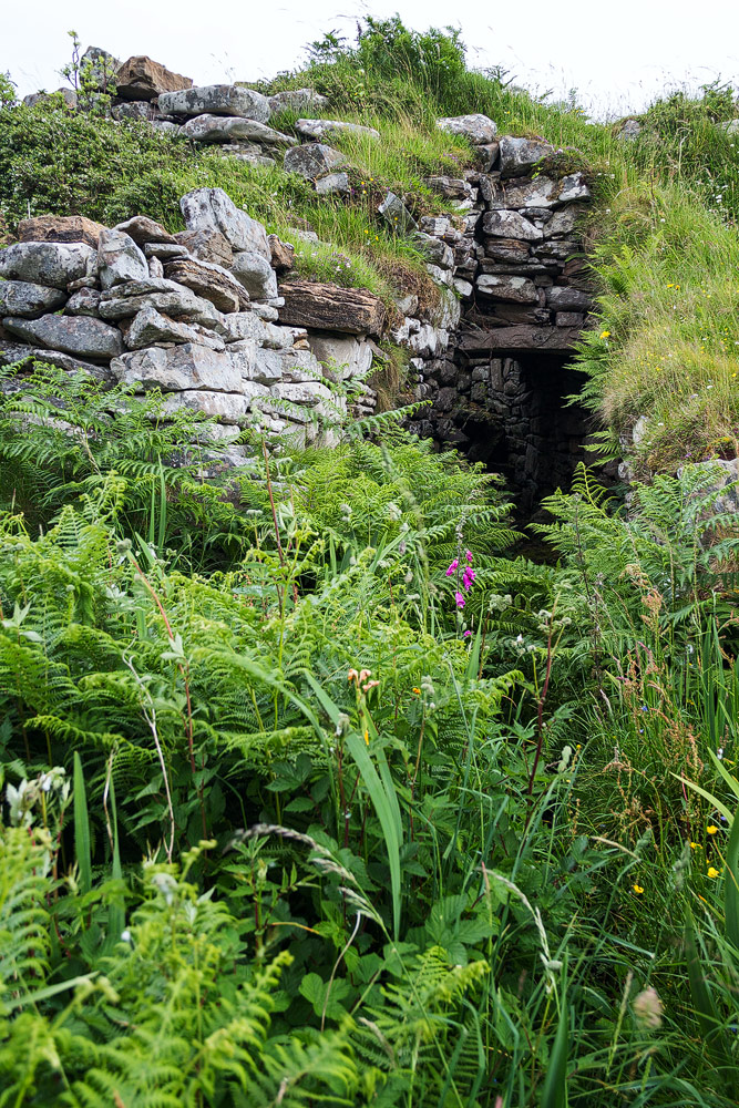
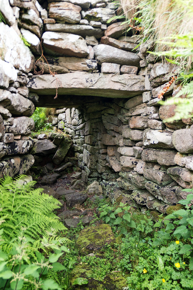
Dun Ringill itself could at first be mistaken for a hill in the countryside. The outer walls are completely overgrown and therefore well camouflaged. The entrance – like a black cleft on the front – on the other hand, is easy to spot. Through this entrance the Dun is also easily accessible, you just have to pull your head in a bit. On the other side, one can then climb the outer walls of the complex and enjoy a good view over the sea again.
For the way back you can take the same path again. However, the Walkhighlands website also suggests another alternative, which is described here.
Knowledge: About Dun Ringill and why Jethro Tull sang about it
Dun Ringill dates from the late Iron Age, thought to be as early as early AD. “Dun” means “fort” and Ringill means “place of the cleft”. The Dun is built like a broch – that is, one of the round tower constructions, such as those shown in Dun Carloway, though not as tall.
The old fort is said to have long been the seat of Clan MacKinnon before the chief moved his seat to Castle Maol in the 16th century. The MacKinnons held the Strathard peninsula on Skye until, due to the escape of Bonnie Prince Charlie at Elgol, they also had to relinquish these lands.
Dun Ringill has also made it to some fame in pop culture. The band Jethro Tull sang about the ruin in a song of the same name. The choice did not fall on this Dun by chance. Ian Anderson, flautist and singer for Jethro Tull, was living in Kilmarie very close to the Dun at the time. In the song he suggests:
In the wee hours I’ll meet you
down by Dun Ringill
oh, and we’ll watch the old gods play
By Dun Ringill
About:
In the wee hours I’ll meet you down
down by Dun Rungill
oh, and we’ll watch the old gods play
at Dun Ringill
Tip: Put on good hiking gear
.It’s only about a kilometre to Dun Ringill, but the trail can be tough: The trail is often muddy, the vegetation tall. To protect yourself from moisture and ticks, gaiters or rain trousers are a good idea. But in any case, sturdy footwear should be worn.
Personal note: The eggs of the Oystercatcher
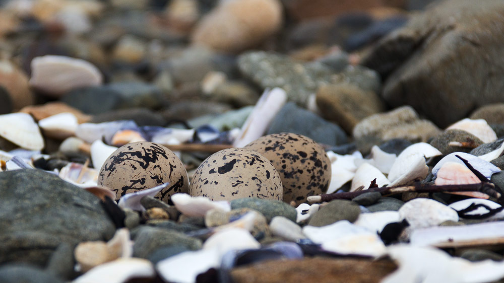
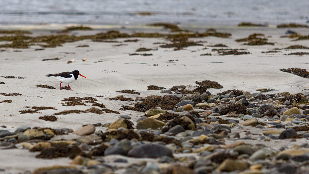
After the hike, we hung out briefly on the beach by the river mouth. It consists of rocks and shells interspersed with some old seaweed. In between we spotted something: eggs that looked like someone had painted them with a black brush here and there. A nest open between the stones.
It wasn’t long before the parents took notice. They were Oystercatchers, black and white birds with a long orange bill. We backed away and discreetly, not without snapping a photo of the nest first.
Directions:
With navigation device: ” IV49 9AX” brings one into the place Kilmarie. There you just have to find the turnoff to the cemetery and follow the road down to the bottom.
Without sat nav: Take the main A87 road to Broadford and look for the turn off to Elgol. For about 18 kilometres or 11 miles follow the road until you come to the village of Kilmarie. There is a turn off to the left indicated which leads to “Old Graveyard Kilmarie”. Follow this until Loch Slapin appears and look for a parking space.