The mountain pass of Bealach na Bà connects the Applecross peninsula with Lochcarron. It’s one of Scotland’s most beautiful, yet also most demanding, routes.
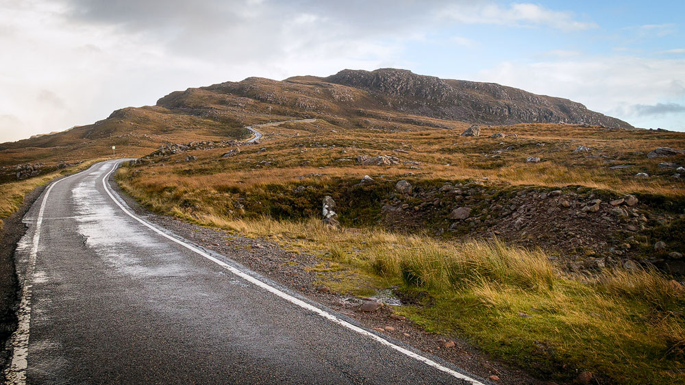
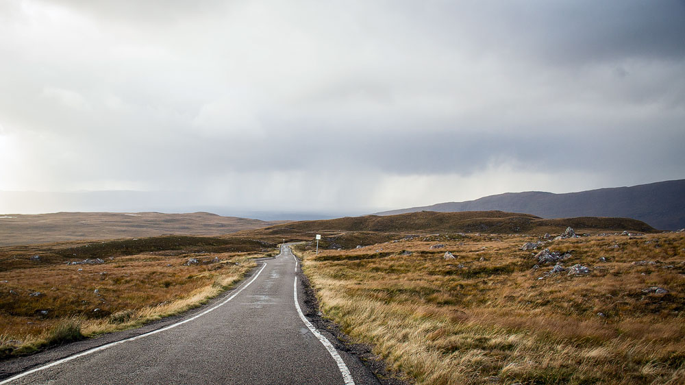
The tarmac is already crumbling badly at the edges, cracks run across the road surface here and there, and in places there are even round, dark holes. And this is what we’re meant to drive one of Britain’s most dangerous mountain passes on? We’re already feeling a little uneasy.
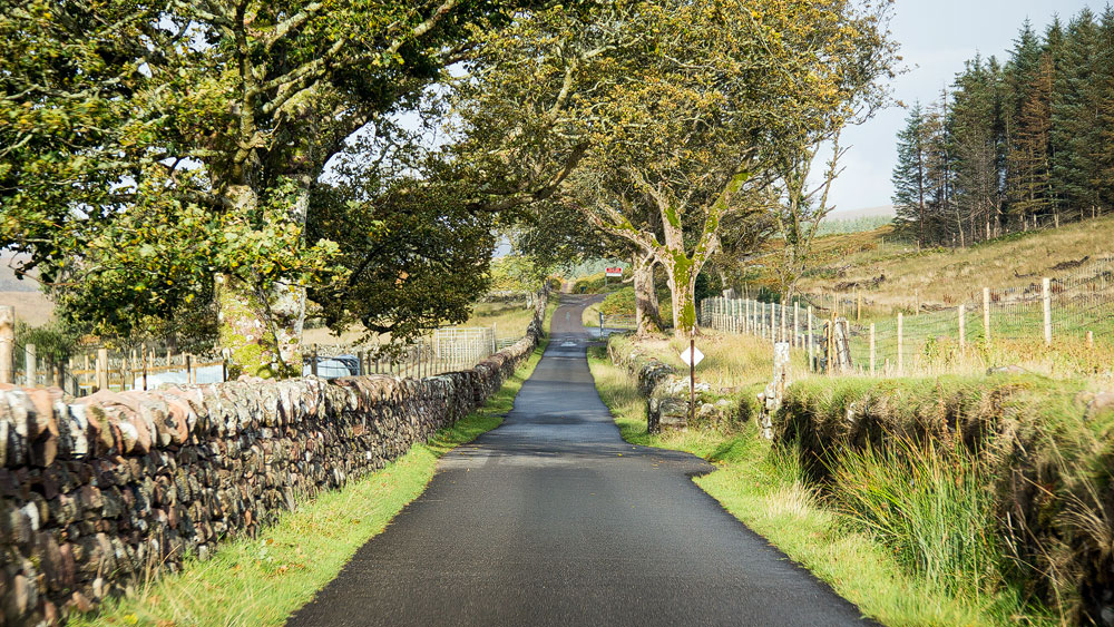
Down in the village of Applecross, the road still starts out idyllically enough: gardens and trees frame it here. But these soon give way to the typically stark Highland landscape of heather, grass and dark earth, scattered with grey stones.
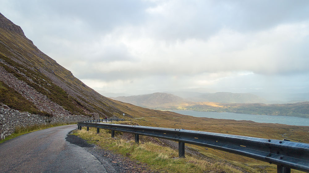
We’re on the route to the Bealach na Bà, the “pass of the cattle” – one of the few crossings connecting the Applecross peninsula with the rest of Ross-shire. It’s also the highest continuous road climb in Britain. In places, gradients of up to 20 percent have to be tackled – depending on which side you approach from. An old single-track road, one that’s seen better days, leads up to the top.
So the Bealach na Bà is a difficult drive. So difficult, in fact, that it’s often impassable in winter, and it’s only recommended for experienced drivers. Red warning signs strongly advise against attempting it with a caravan at all.
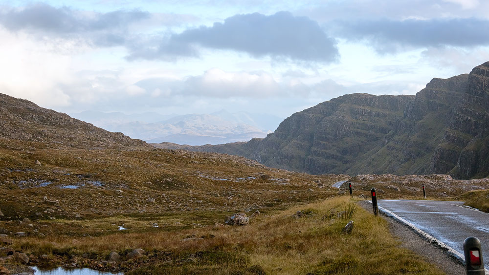
None of that put us off. Now, in the distance, a long mountain ridge slowly comes into view – it almost looks as if it’s rising straight out of the landscape. This is Creag Ghorm, the “blue rock”. It stands like a guardian in front of the pass itself; the road runs along its flank before briefly resting on a kind of plateau and then plunging back down into the valley.
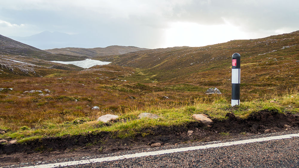
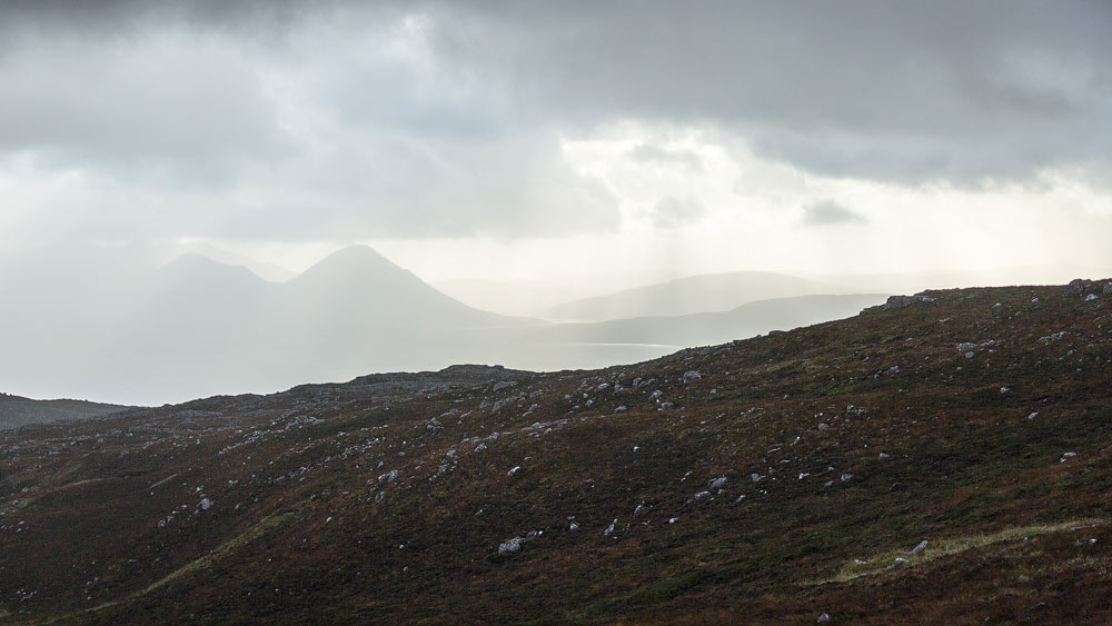
We allow ourselves a brief rest. Up here there’s even a viewpoint at 626 metres, offering a view of the Isle of Skye – when the weather’s clear. On this day, though, the “island of mist” cloaks itself in cloud, so we drive straight on.
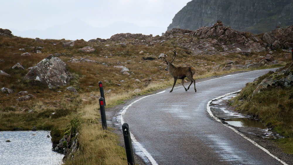
It’s windy just before the pass. It’s whistling so hard that we almost miss an unmistakable bellowing sound. We stop the car by the roadside and listen more closely, trying to work out where the noise is coming from. Finally, on the right, in the large hollow beside the road, we spot them: a hind, and a little further back a rutting stag, repeatedly opening his mouth wide to let out his rough roar.
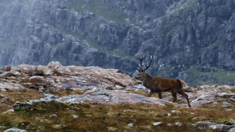
The pair wander alongside the road for a while, before the two of them – just a few metres from our car – cross the road and continue on their way. We hadn’t expected a scene like this up here. We watch the red deer for a long while before setting off again. After all, the hardest part of the trip is still to come: the descent from the pass to Lochcarron.
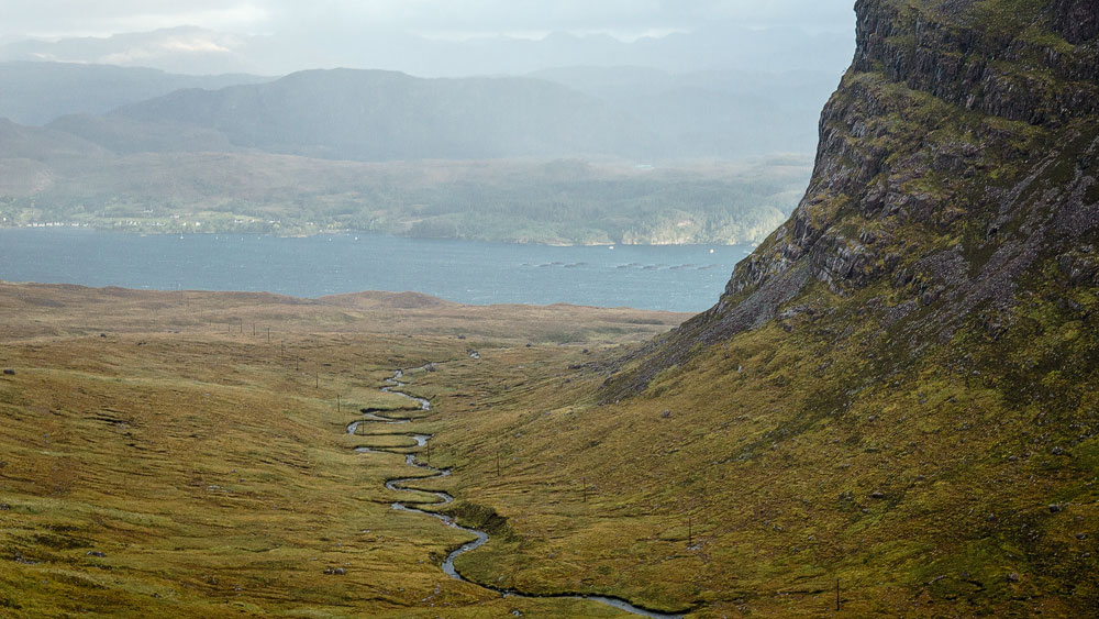
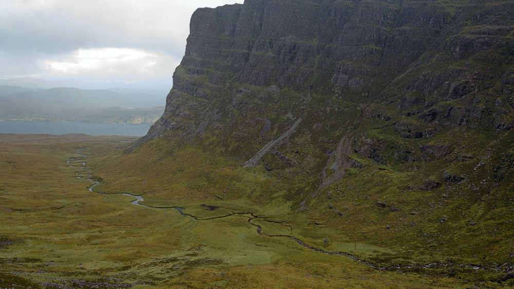
As we see the road plunge down into the depths here, we hold our breath. The view into the wide valley is as awe-inspiring as it is magnificent. In just eight kilometres, the road drops around 600 metres. Down on the valley floor, a small river, the Allt a’ Chumhaing, winds its way to the sea loch of Kishorn.
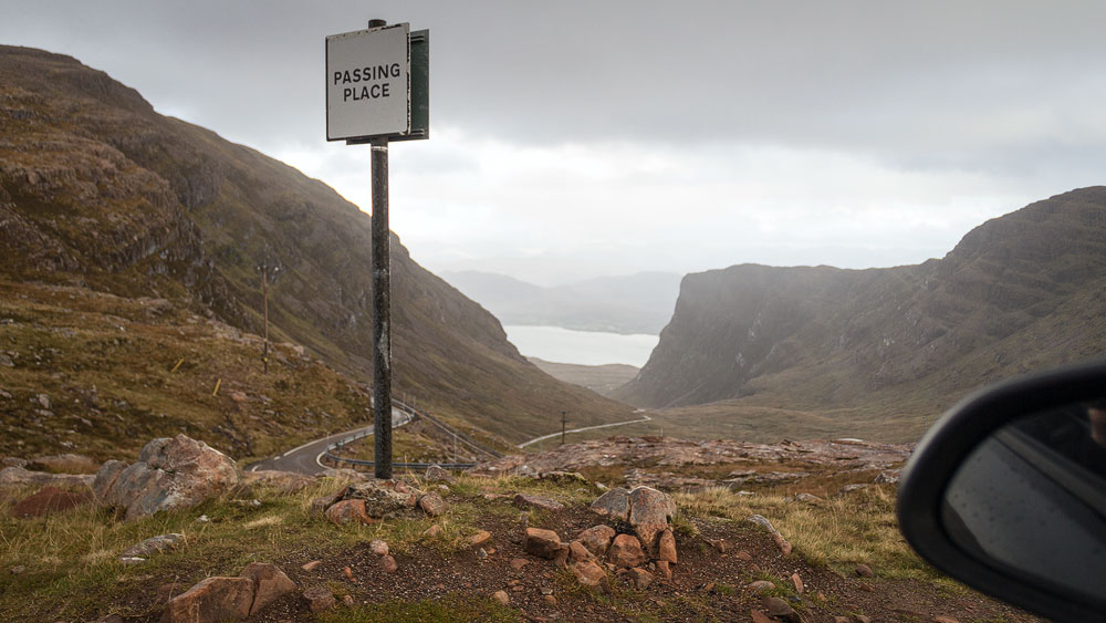
It’s not just the steepness – hairpin bends make the drive even more challenging on this single-track road. Oncoming cars can sometimes pose a real problem, though we usually spot them early enough to pull into a passing place. When we finally reach sea level at the village of Tornapress, the overriding feeling is one of leaving behind an unforgettable experience with the mountain pass and the deer.
Good to know: Cattle droving in the Highlands
The Bealach na Bà is called the “cattle pass” because drovers once herded their cattle across it. These drovers – essentially a kind of Highland cowboy – bought surplus cattle from farmers in the 17th century and brought them south to market towns such as Falkirk or Crieff.
Because the drovers spent most of their time out in the open, they looked rather wild in the eyes of the Lowlanders – and smelled of heather and peat, according to one contemporary observer. Even so, they were respected people, since they knew the land well, could handle livestock, and were considered trustworthy. They had to be, otherwise no one would have entrusted them with their cattle.
The drovers’ era came to an end in the 19th century, once shipping – and later the railway – made it possible to transport cattle faster and in far greater numbers.
The drovers’ old routes, the Drover’s Roads, were in many cases later converted into proper roads. The road over the Bealach na Bà was built in 1822, tarmacked in 1950, and remained the only connection to Applecross right up into the 1970s.
Tip: Continuing on to Torridon
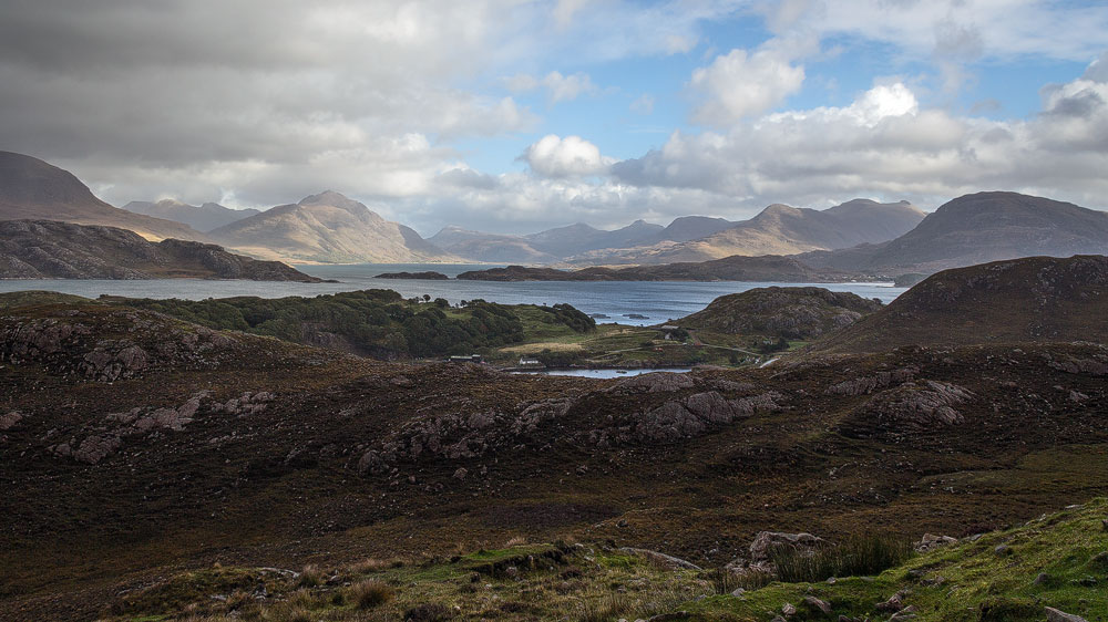
The Bealach na Bà works beautifully as part of a drive around the whole peninsula. You can go from Lochcarron and Tornapress over the pass to Applecross, and on to Loch Shieldaig by the wild Torridon mountain massif, rejoining the A896 there. Or reverse the route, just as you prefer. The whole tour ranks among the most beautiful drives in Scotland.
Personal note: A challenge for cyclists
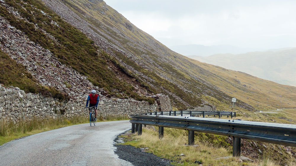
As a triathlete who also likes to get out on a road bike now and then, the idea of conquering the Bealach na Bà by bicycle naturally crossed my mind straight away. It has, however, remained just an idea to this day. Partly because, on our way down towards Lochcarron, a road cyclist came towards us going the other way, and I could see just how much effort it takes.
Despite – or perhaps because of – the pass’s difficulty, two amateur races are held over the Bealach na Bà each year: the Bealach Beag and the Bealach Mòr, the “little pass” and the “great pass”. You can find more information here.
Getting there:
The route can be started either in Applecross or in Lochcarron.
With a sat nav: Enter either “IV54 8LN” if you want to go from Lochcarron to Applecross, or “IV54 8YD” for the opposite direction.
Without a sat nav: Lochcarron is reached via the A87. Between the Skye Bridge and Eilean Donan Castle, the A890 branches off here towards Gairloch. Follow it until you cross the railway tracks at Strathcarron, then turn left at the T-junction onto the A896 towards Lochcarron. Follow the road right up to just before Tornapress, always watching for the “Applecross” signpost. You’re on the right track once you see the two signs warning of the pass ahead – a red one and a blue one, stacked one above the other. Then follow the road all the way to the Bealach na Bà.
Coming from Shieldaig, drive along the A896 until a double signpost for Lochcarron appears: one points straight ahead, the other refers to the “Scenic Route”. A further sign points right towards Kenmore and Applecross. Turn off here and follow the long road along Loch Torridon until you reach Applecross. From there, simply follow the red warning signs for the “steep narrow road”.