Stone Age people, Picts and Vikings all lived here. That, together with the village complex surrounding the tower, is what makes the Broch of Gurness so unique.
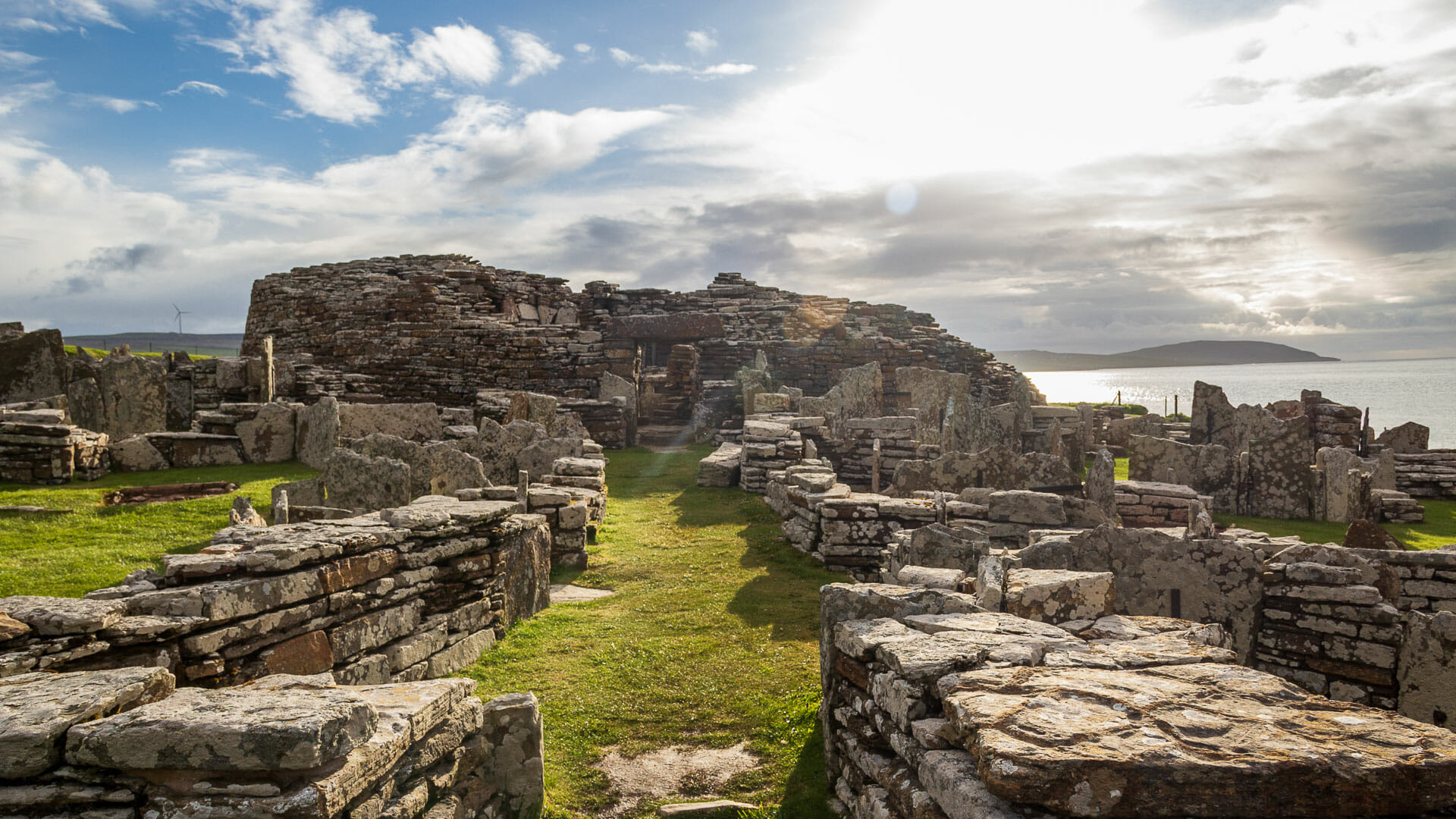
At first, it seems almost incomprehensible: this field of stones, sometimes stacked, sometimes standing upright. The tangle of grey gives the eye almost nothing to hold on to. Only over time, and with the help of the information boards, do structures slowly begin to emerge from the chaos: here the Pictish farmstead, there the broch, and in between, passages, houses, defensive walls.
The whole of north-east Scotland, along with its island groups Orkney and Shetland, is dotted with round Iron Age stone towers known as brochs.
But this one at Gurness is special. Most brochs stand isolated in the landscape, as is the case, for example, with Dun Telve on the west coast. In front of the tower at Gurness, though, a small village also grew up – a substantial one, for its time.
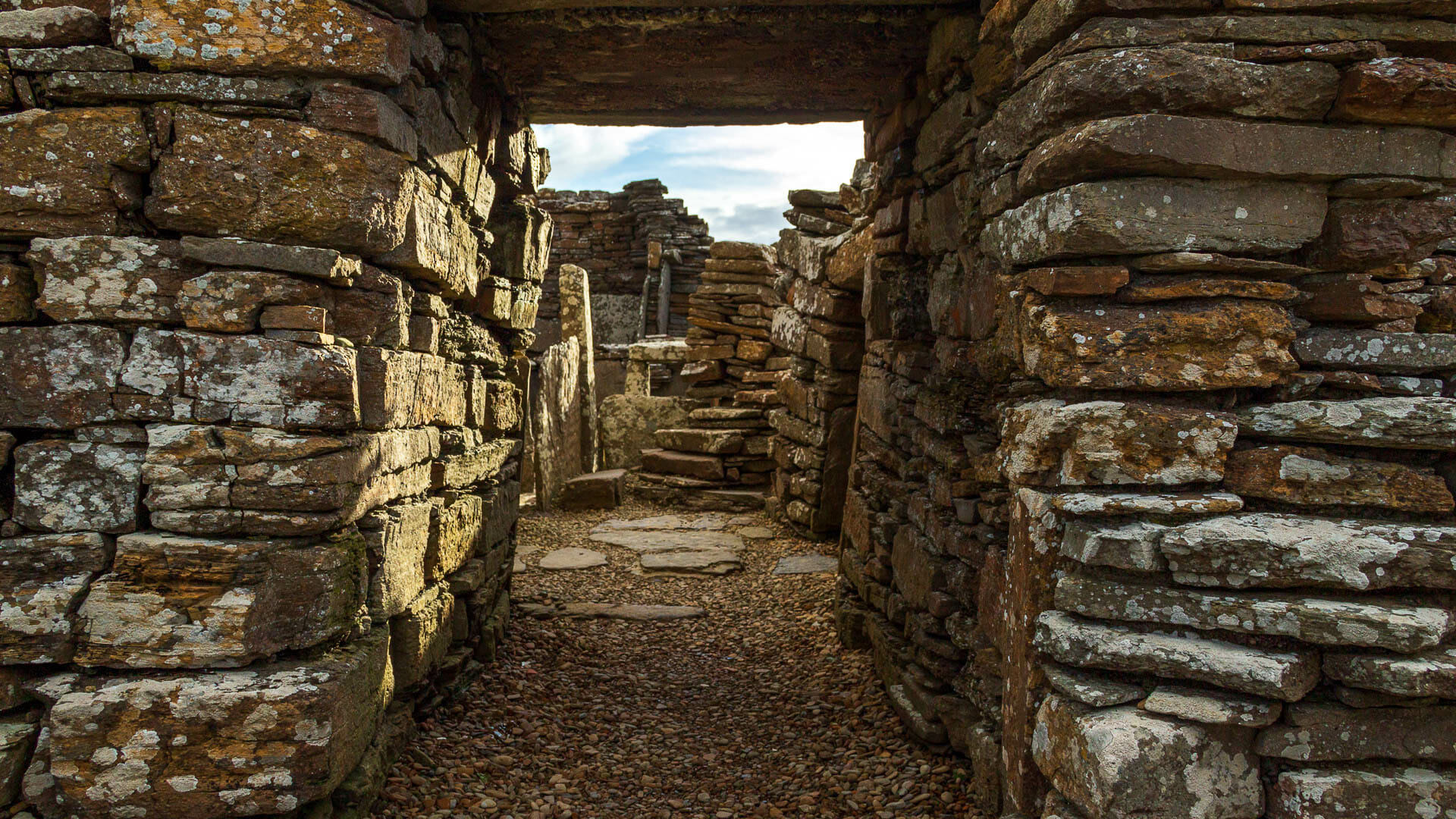
Picture it roughly like this: the axis of the settlement was the “main street”, running east to west and ending at the broch. To its left and right branched off the entrances to the stone houses, which offered space for up to 40 families. As at Skara Brae, all the dwellings are built to essentially the same layout: a central hearth, stone shelving, beds, and even a kind of toilet.
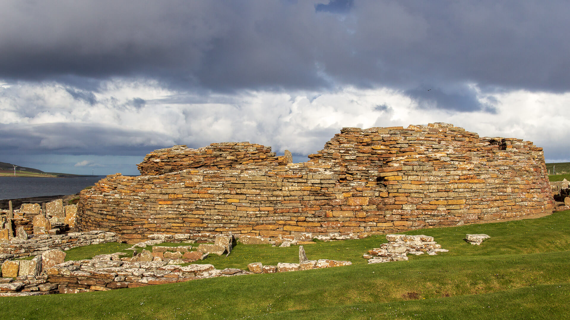
Sounds like an idyllic family life. But the Iron Age was also an era in which people had to guard against raids, and so the inhabitants also provided defences against potential enemies: the entire village was surrounded by a system of three earthen ramparts and ditches. The outer walls of the houses also formed a protective wall, and the last line of defence was the broch itself, into which the residents could flee if necessary.
Even then, the broch already served a function similar to that of later castles: a place of retreat in the event of an attack, but otherwise the seat of a wealthy family.
The Picts arrive
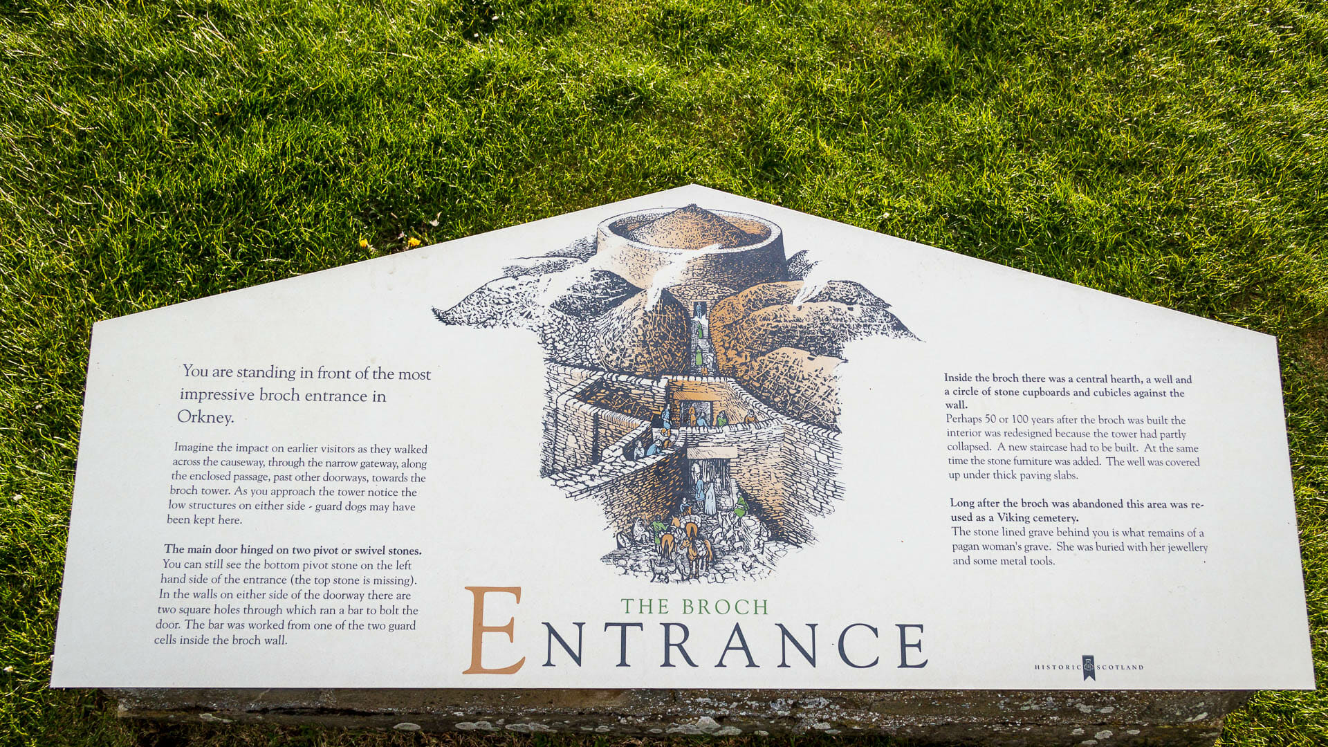
This community lived together like this for roughly three hundred years. But over time, the broch’s defensive role became less important. The ditches were filled in and the village abandoned, the broch fell into ruin, and the whole site was gradually covered over with earth. Even so, people soon settled here again.
By the time of the Picts (currently only available in German), a farmstead stood here, the so-called “Shamrock House”. “Shamrock” refers to the shape of the building when viewed from above. The farmstead was originally built directly over the old village, but today the Pictish house stands in front of the settlement – archaeologists simply moved it there.
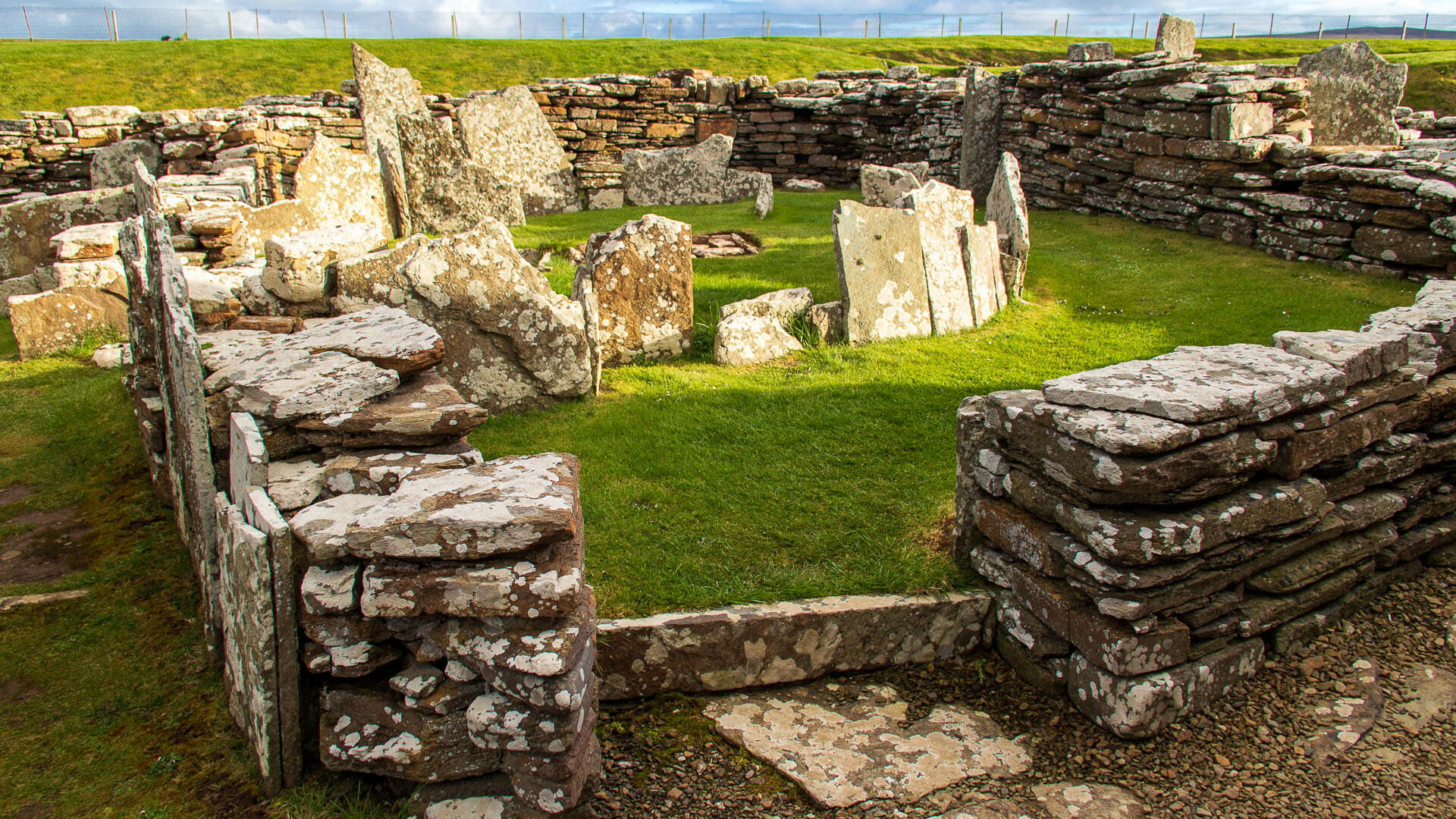
When the Picts, too, eventually left the site, the Vikings (currently only available in German) arrived last of all. They didn’t settle here, however, but used the mound as a burial site for a woman who was interred with valuable brooches.
Good to know: Discovery in the mound
For those who like precise dates: the broch and village were inhabited from around 200 BC to 100 AD, and then abandoned. The Picts didn’t live here again until between 500 and 800 AD, and the Viking woman was buried around 900 AD.
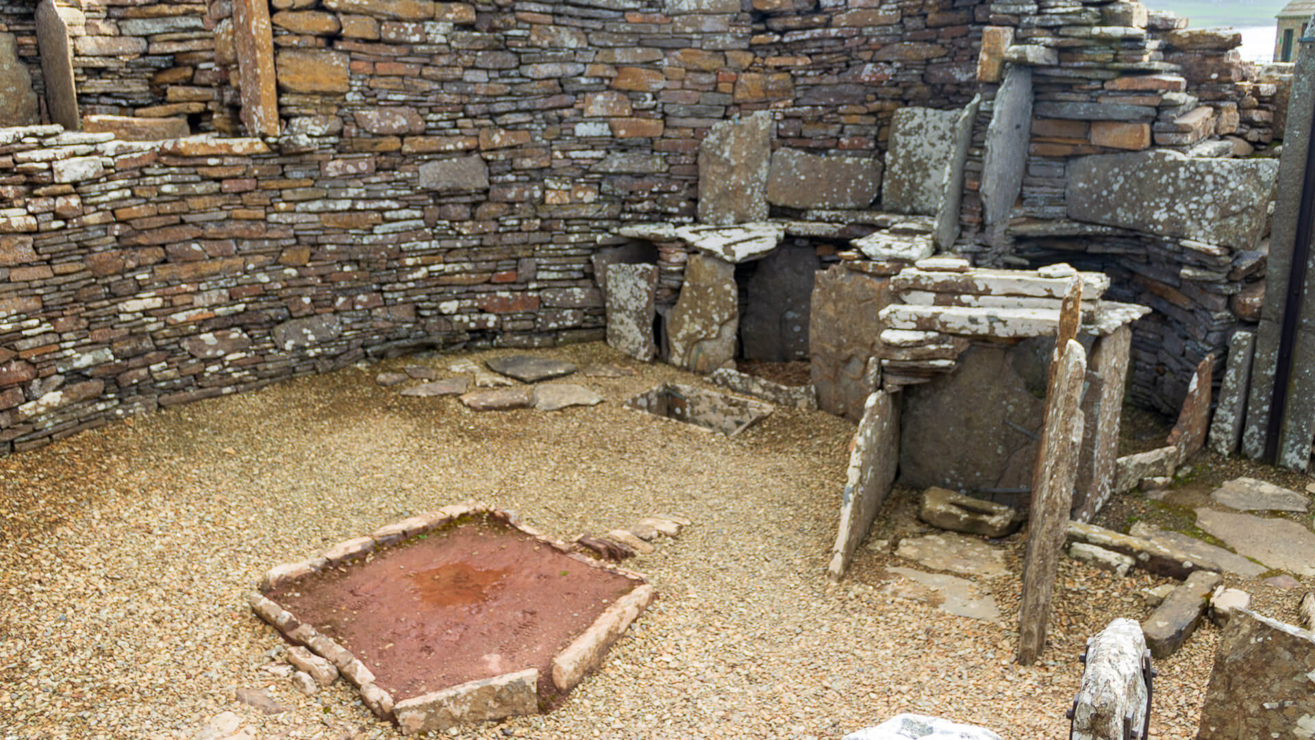
After that, earth soon covered all the structures, and a large mound formed on the spot, known as “Knowe o’ Aikerness”.
In 1930, a local artist named Robert Randell climbed this mound, sat down on a chair and began to sketch. Suddenly, one of the chair’s legs sank into the ground. The artist took a closer look at the resulting hole and, in doing so, discovered the first traces of the buildings.
Archaeologists carefully took care of the rest, and today visitors can admire not only the whole complex, but also many of the finds themselves, displayed in the small on-site museum building.
Personal note: Bewildering
We arrived quite late in May and had the place to ourselves as the sun was already beginning to set. That let us wander and explore among the stones in complete peace. Even so, I really struggled to make out any structure within this jungle of stone. The information boards do help give the imagination a helping hand.
Tip: A view of the islands
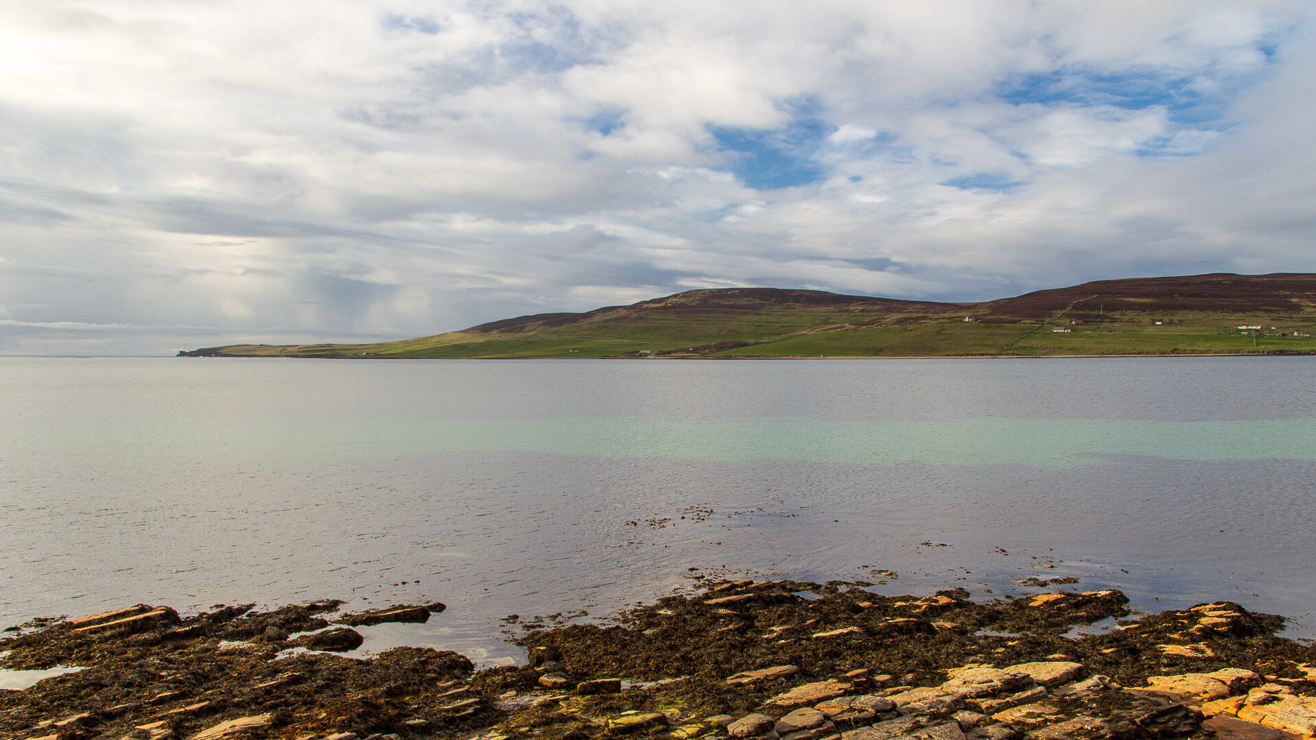
Beyond the genuinely impressive structures on site, it’s well worth letting your gaze wander into the distance. Across the water, for instance, lies the island of Rousay, and further away, behind the small museum, the tiny island of Eynhallow. There’s also a small stony beach just below the car park.
Getting there:
With a sat nav: “KW17 2NH” will get you very close to the Broch of Gurness. Then simply watch for the signs.
Without a sat nav: From Kirkwall, take the A965 towards Stromness. In Finstown, turn right onto the A966 towards “Tingwall Jetty”. Continue until you reach Evie, where a playground and a school appear on the right. Look out there for the brown sign pointing right to the Broch of Gurness. Turn right and drive to the car park at the end of the road.
