Surely one of the most beautiful landscapes on Orkney Mainland. In the Mull Head Nature Reserve, nature, history and geology come together in perfect harmony.
Contents: Overview | Tour description | Good to know | Getting there
In the east of Orkney Mainland, the Deerness peninsula joins on via a narrow causeway, and right at its eastern tip lies the Mull Head Nature Reserve. A short walk here lets you explore two sights:
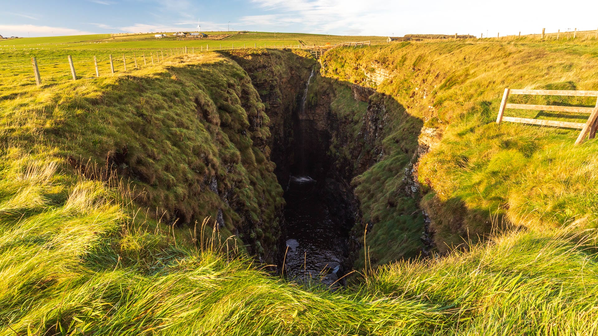
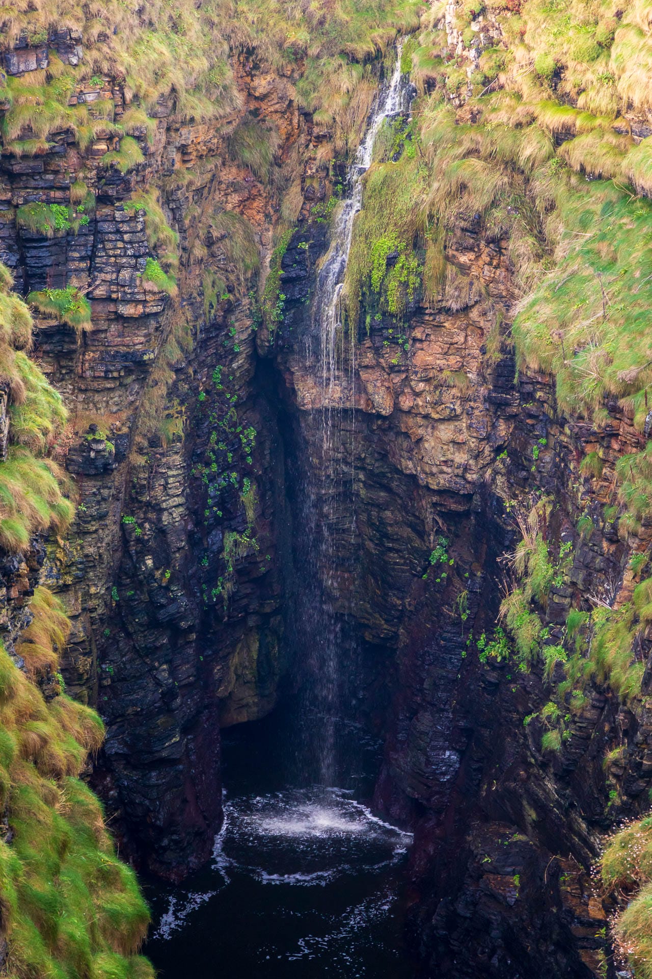
The Gloup was once a sea cave whose roof collapsed. Today it appears to us as a deep fissure in the grassy landscape. A waterfall plunges from its edge to meet the rolling waves below. Viewing platforms are installed at both ends of the fissure.
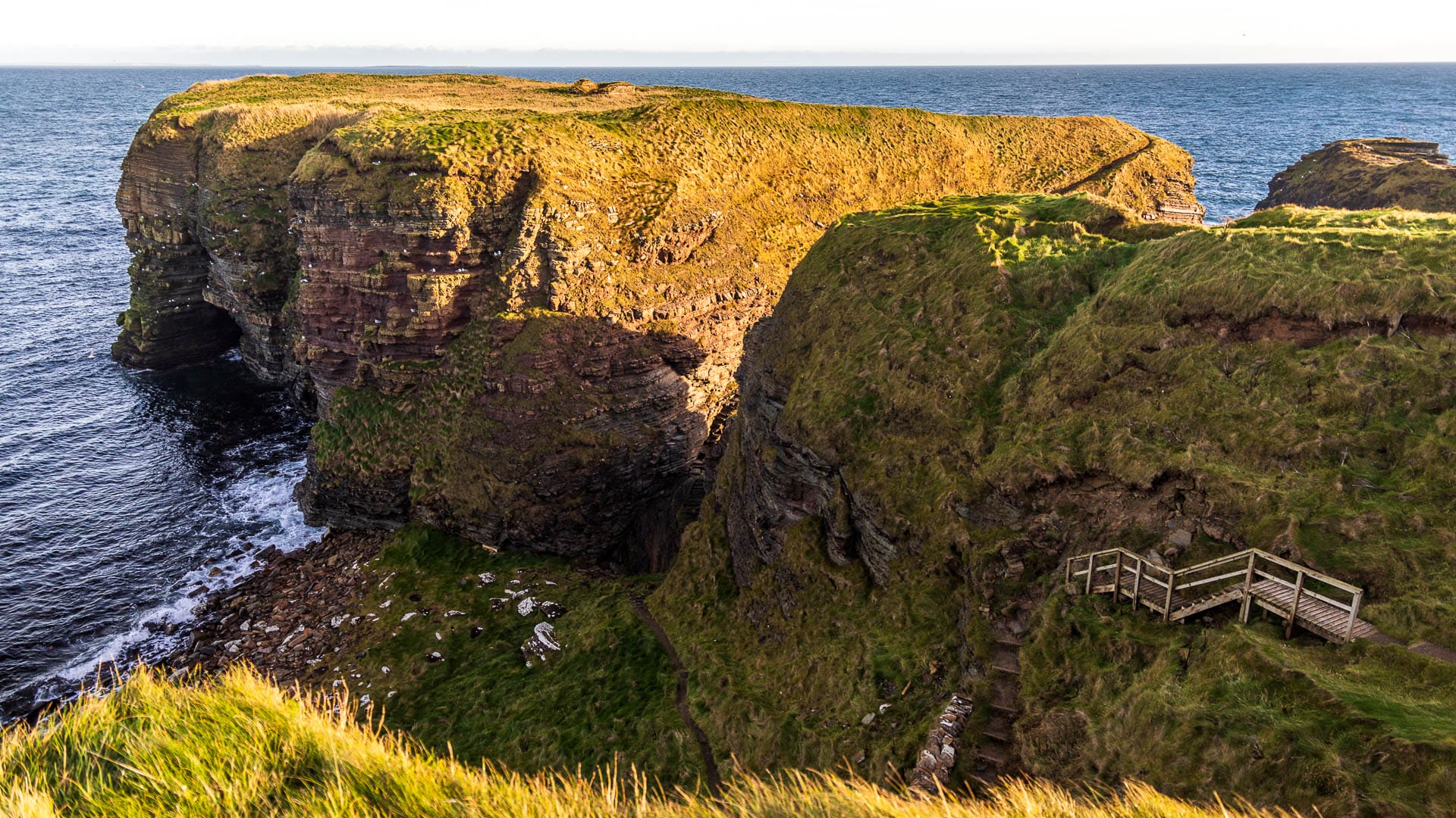
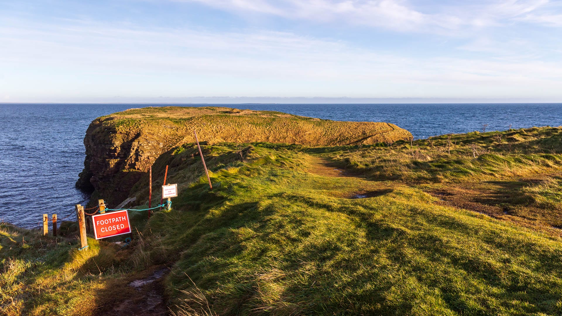
Brough of Deerness is a headland on the sea cliffs. Protected on three sides by the sea and reachable only via a narrow path and a deep dip, a Viking-era settlement sits on top.
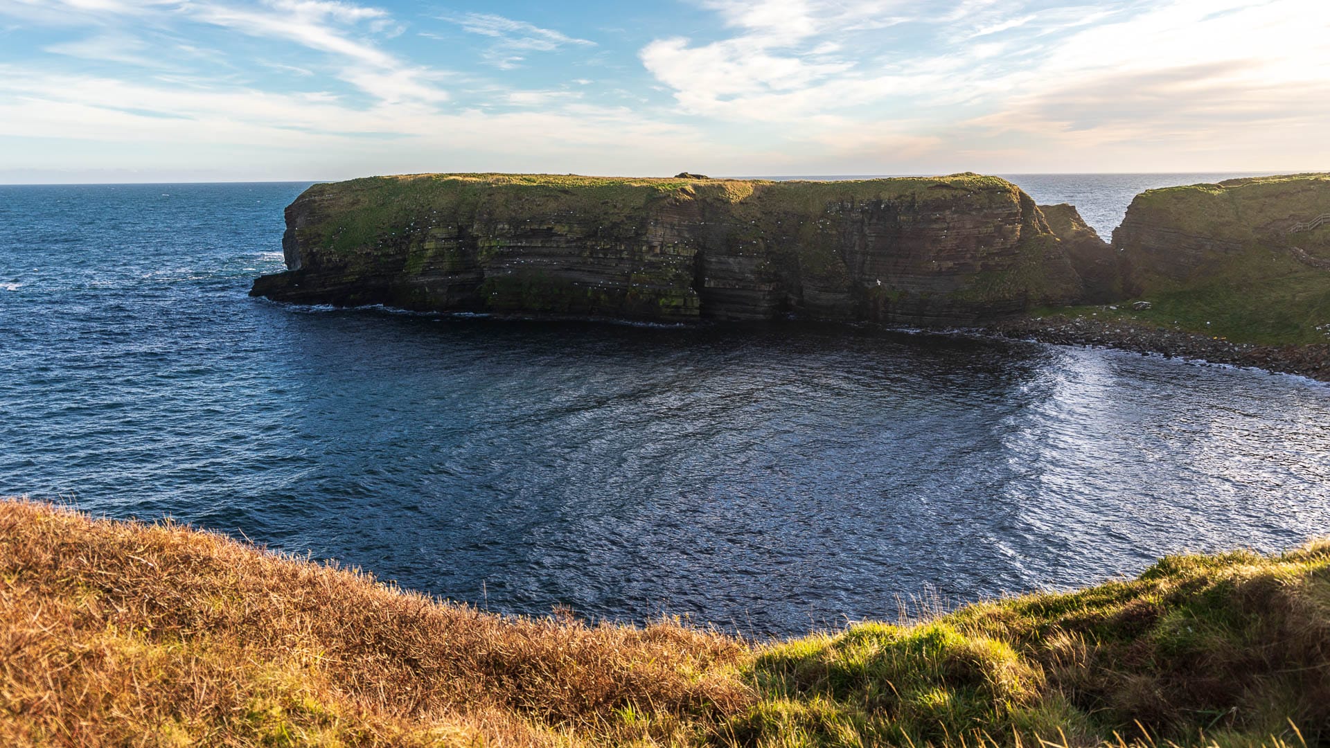
But it would be wrong to reduce the area to just these two sights. The whole reserve consists of dramatic coastal scenery and gentle hills. Many seabirds nest here. And there’s another special species: the Orkney vole. It’s larger than the common vole, and its population is, of course, under threat. Walkers won’t normally get to see one.
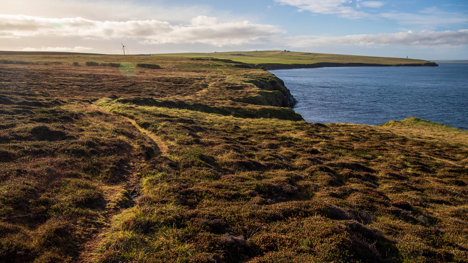
To explore this beautiful area, there are three circular routes:
- Tour to the Brough of Deerness: Takes about an hour in total over 2.3 kilometres, and leads to The Gloup as well as the Brough of Deerness.
- Tour through the reserve: Allow two to 2.5 hours for this one. It covers around 6.5 kilometres and extends the route above to take in more coastal scenery.
- Tour to the Covenanters’ Memorial: Extends the two tours above to nine kilometres and takes about four hours. It runs to a memorial for the Covenanters who drowned here near the coast on a prisoner ship.
People with limited mobility, and perhaps reliant on a wheelchair, can at least see The Gloup and learn more at the visitor centre. And that alone would already be worth the trip.
But for everyone who can, I’d recommend taking the time for the medium-length walk. Here’s the route description.
Mull Head Reserve walk: Map and description
This is the medium tour, taking around 2.5 hours over 6.5 kilometres. The path is easy to follow at all times thanks to plenty of waymarkers. Although the route isn’t very difficult, everyone should wear sturdy, proper footwear for the walk.
The start is right at the car park for the Mull Head reserve.
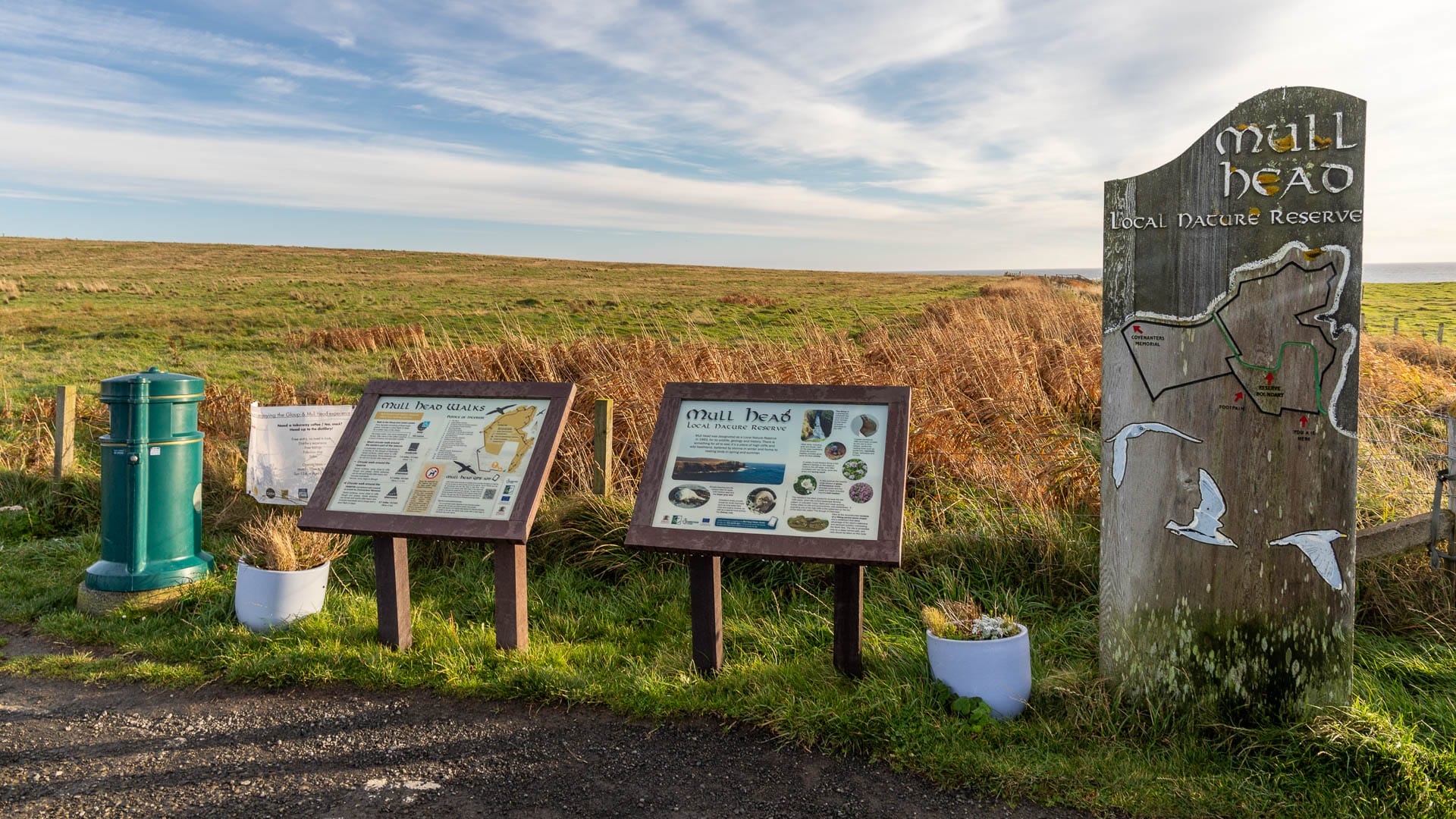
Passing the signs on the right, you’ll find the small wooden platforms right at the start that offer a view down into The Gloup.
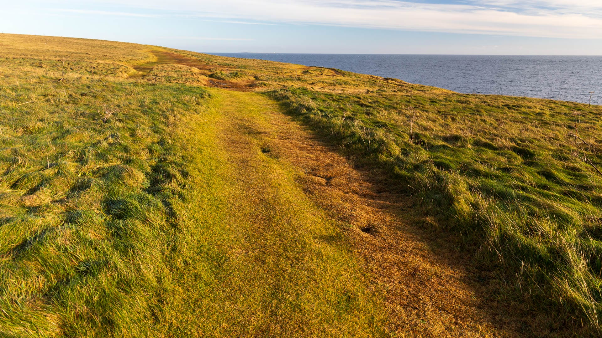
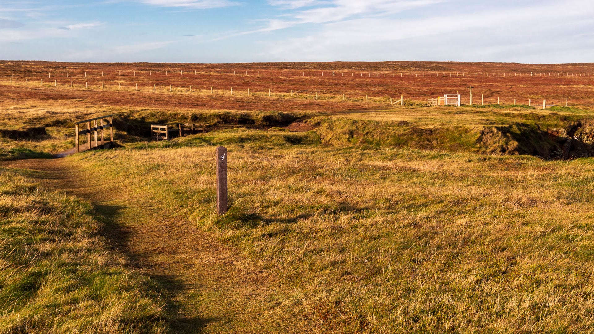
After that, the path continues towards the sea, through a kissing gate, and follows the waymarkers along the cliffs. The ground alternates between grassy, muddy and rocky. Should the path not be clearly visible, the numbered posts repeatedly point out things worth seeing.
It’s not long before you reach the Brough of Deerness. The crossing over is either open or closed, depending on its condition. The latter is annoying, of course, but doesn’t detract from the beauty of the walk.
Continue along the cliffs; the path is marked with small wooden posts.
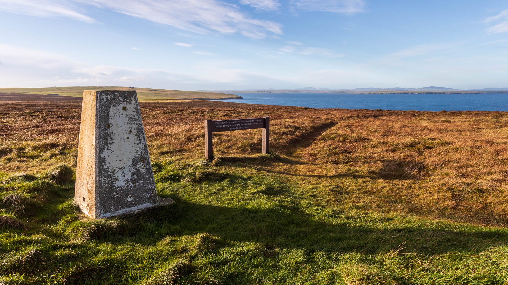
Before long you reach a kind of survey stone.
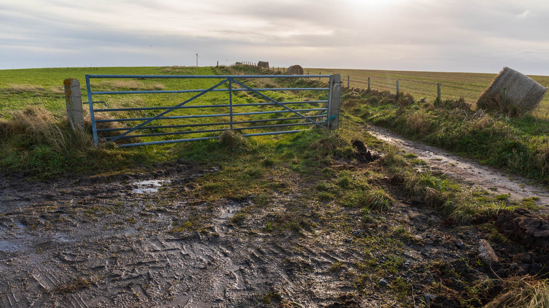
Some time later, the path turns inland. East Denwick Farm comes into view, reached by a farm track.

Follow this track at first, but where it curves right towards the farm, instead go left past the iron gate onto the grass path.
Head towards the small wind turbine and, just before it, turn left again onto a path partly lined with bushes.
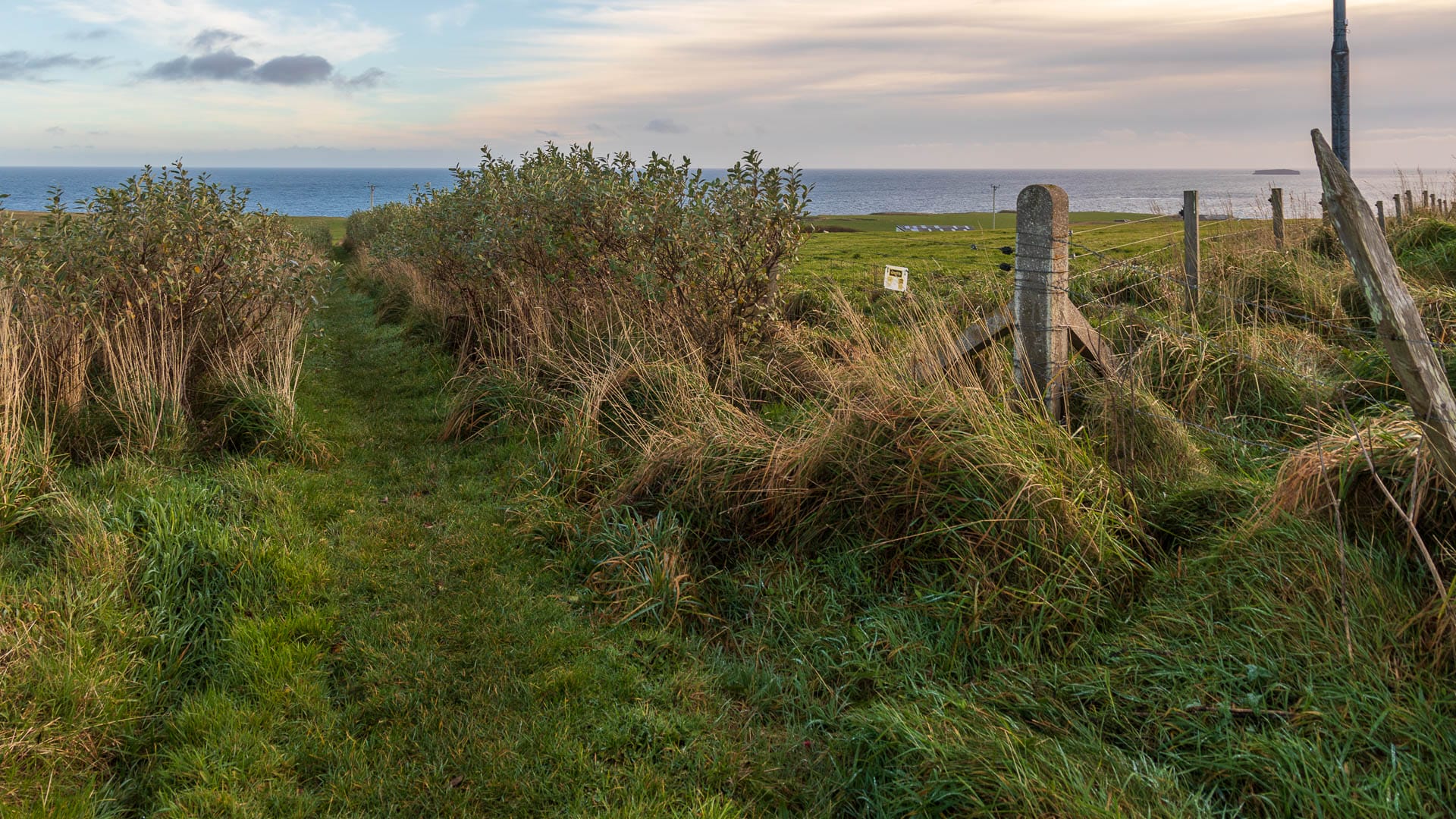
It winds its way down to the car park where the walk began.
Good to know: History of the Brough of Deerness
What a concept: an entire village standing on a tiny patch of land. Cliffs drop away on three sides, with the stormy sea roaring below. Only on one side is there still a link to the rest of the land at low tide. That side, too, drops away steeply, but a path winds along the rocks, carrying you through the dip.
This headland was like an impregnable fortress with a moat. Enemies simply couldn’t attack from the sea, and hardly from land either. So this is where people settled for protection.
Archaeologists have found traces of around 30 dwellings here. What’s more, the foundations of an old stone chapel still stand visible on the headland.
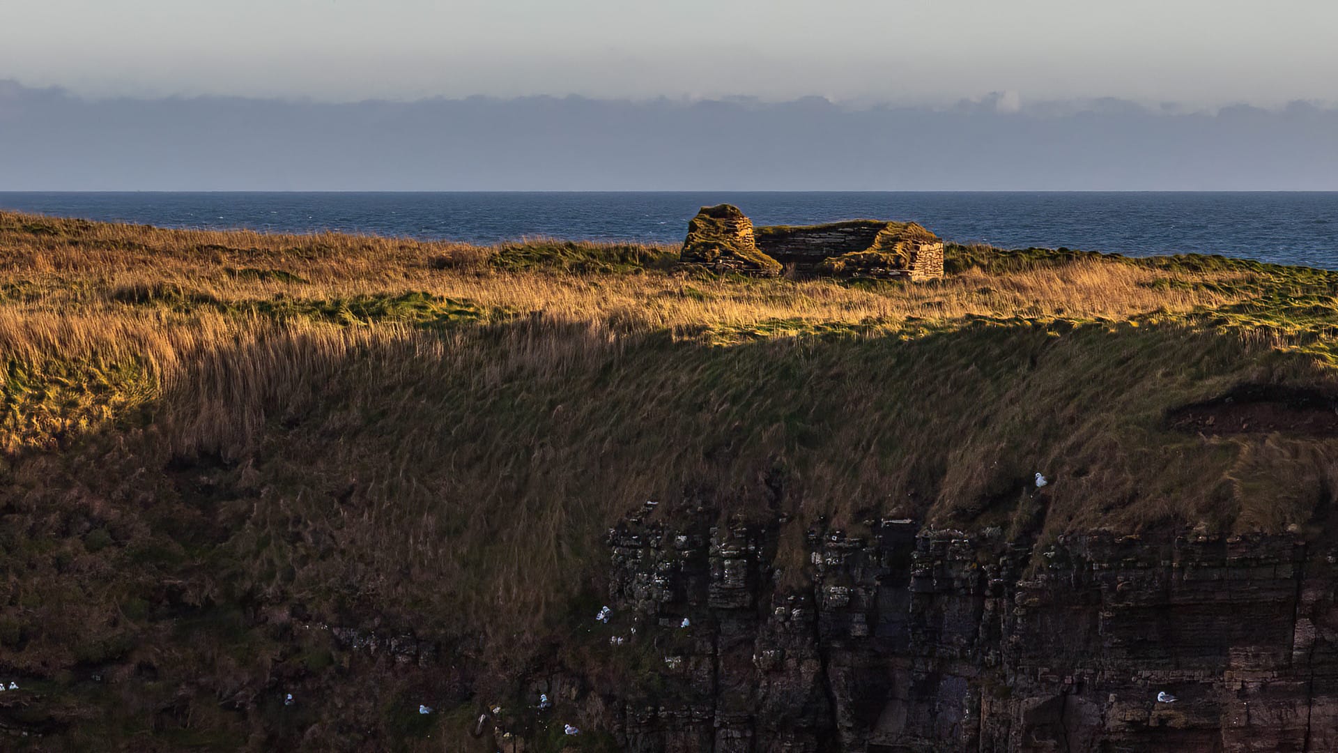
What was even more exciting, though, was what researchers found UNDER the church. Not only had an earlier wooden church once stood there, but Anglo-Saxon coins were found within its layer. These narrowed the origin of the church down to somewhere between AD 959 and 975. At that time, the Norsemen – popularly known as Vikings (currently only available in German) – ruled over the islands. That signs of Christianisation were already appearing here at that time was quite a small sensation.
People lived and worked in the settlement on the Brough of Deerness over the course of several centuries. It seems the inhabitants only left the plateau in the 12th century. When exactly the first settlers arrived here, on the other hand, remains unclear, though the coins alone point to the 10th century.
The question now is what exactly this settlement was for. Why did people move onto a plateau that was safe, yet so exposed to the weather? It was probably, at least around the year 1000 – much like at Brough of Birsay (currently only available in German) – the seat of an important Viking chieftain. One, however, who was already connected to Christianity quite early on. So this was also a place that, alongside protection, demonstrated high visibility and splendour. An awe-inspiring site.
Headlands like this one, incidentally, were often used during the early and high medieval periods. A very famous example is Dunnottar Castle (currently only available in German) – the headland there is remarkably similar to this one.
Getting there
With a sat nav: Enter “KW17 2QJ” to get onto the Deerness peninsula.
Without a sat nav: Coming from Kirkwall, take the A960 towards the airport and follow it until it becomes the B9050. After about 30 minutes, this road ends at the Mull Head car park.
