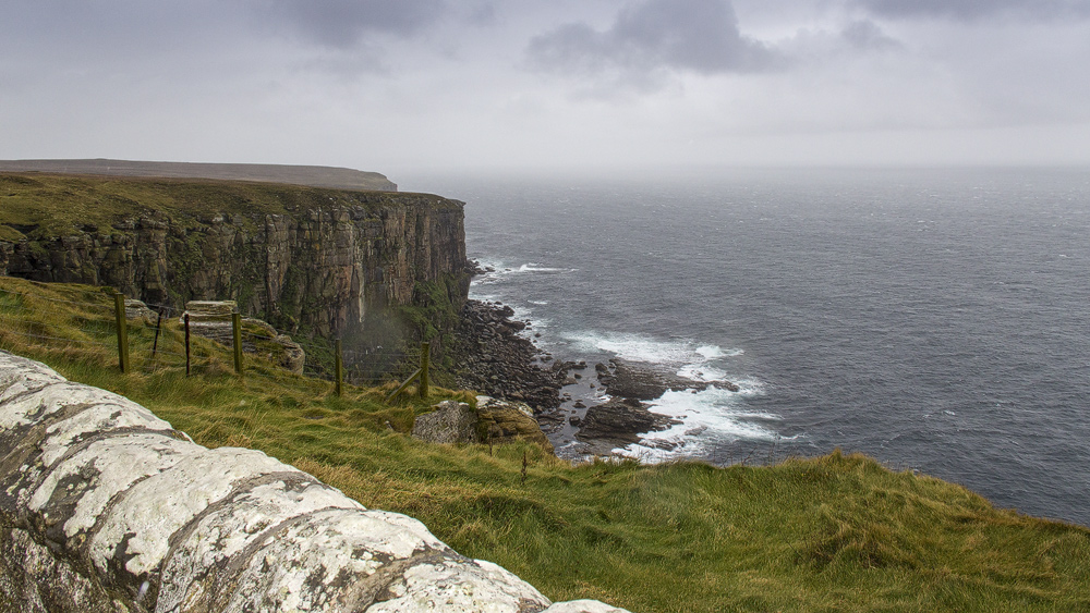
Eventually you find yourself standing at the very end. And if you’re lucky, you get a view like the one at Dunnet Head – the northernmost point of Scotland.
The cliffs plunge steeply down here into the roaring sea – Scotland could hardly end more dramatically, since Dunnet Head marks the northernmost point of the British mainland (and, contrary to popular belief, not John o’Groats).
The height has its advantages: in good weather, a viewpoint here offers a wonderful glimpse of the nearby Orkney Islands.
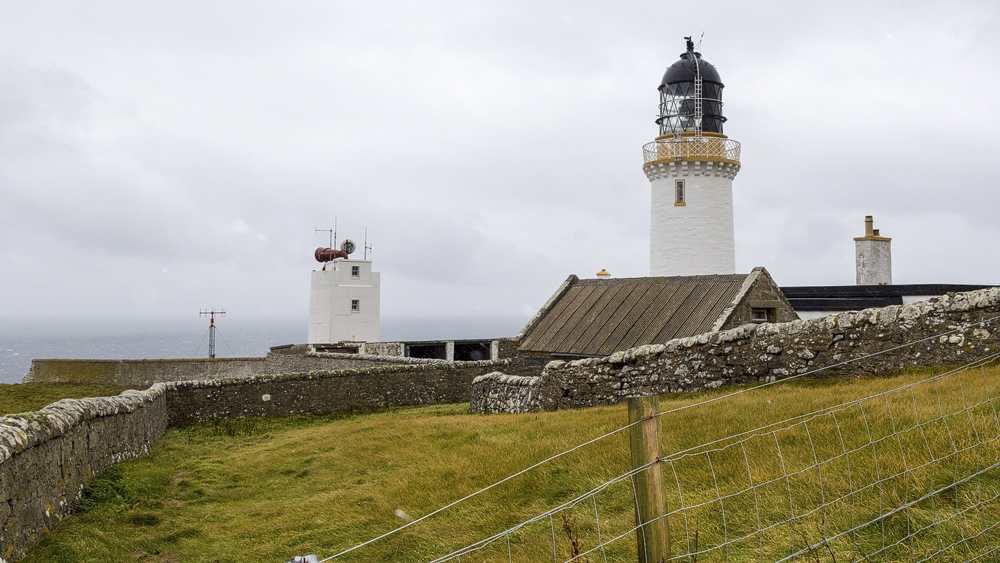
On a clear day, the roughly 90-metre-high cliff gives you a view right across the Pentland Firth, the stretch of sea between Orkney and the mainland. A fact the British Navy made good use of during the Second World War. They set up an observation post here, meant to warn Orkney and Shetland of enemy ships and aircraft. The Navy didn’t just rely on the eyes of the troops stationed here, though – they also installed a radar station. The remains of the station still stand today: concrete stumps and brick huts.
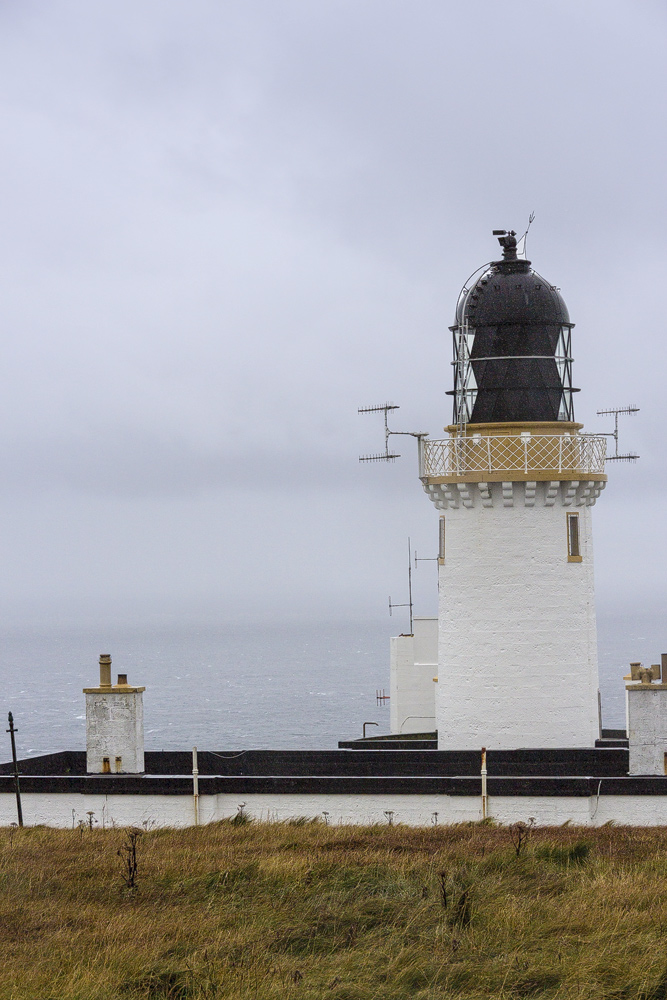
Dunnet Head’s elevation makes it ideal ground for a lighthouse. It was built in 1831 – by a member of the Stevenson family, of course, like almost all of Scotland’s lighthouses. A crew looked after the light until 1989. And hard as it may be to believe, it wasn’t an entirely safe job. There are accounts of waves splashing right up to the light itself – a full 105 metres above the sea. Stones thrown up along with the spray have shattered the window panes.
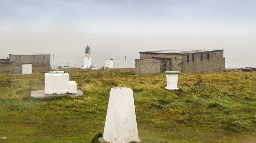
The lighthouse keepers’ spirits occasionally got a royal boost. From time to time, the Queen Mother, who resided at Castle of Mey, would drop by for a brief visit, exchanging a few words with the keepers or having the tower shown to her.
Good to know: name, area, nature
As in many place names, the word “dun”, meaning hill or fort, echoes through Dunnet too. Dunnet Head refers to the entire peninsula that stretches from the village of Dunnet northward into the Pentland Firth. Strictly speaking, the lighthouse itself stands at Easter Head.
The cliffs that rise along several stretches of the Dunnet Head coastline provide ideal nesting sites for birds such as kittiwakes, guillemots, puffins, fulmars, shags, and several others besides.
Tip: the viewpoint
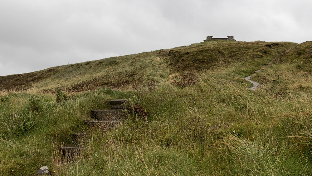
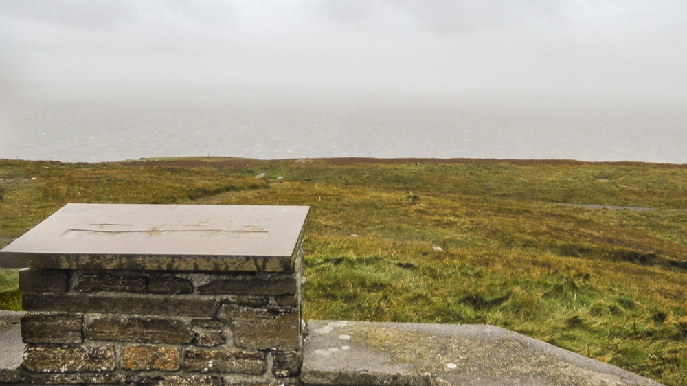
A little further inland, behind the lighthouse, a hill rises, topped with a small stone-built viewing platform. Information boards here explain what exactly you’re looking at.
You reach it via a short walk, though you can also drive right up to it by car.
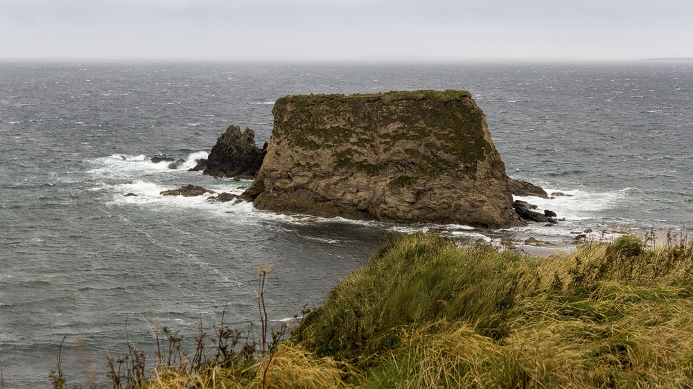
It’s also worth a brief stop at Brough Bay, incidentally, to take a quick look at Hen’s Head, a tall rock stack in the bay.
Personal note: the white wall
“As you can see, you can’t see anything!” When we visited Dunnet Head, the magnificent view over to Orkney had given way to a milky white wall. It rained the whole time, and the wind drove the water straight into our faces to boot.
So the view can be truly spectacular – but in bad weather, all that’s left is the lighthouse and the radar station. If that doesn’t interest you, you can safely skip the drive when the weather’s bad.
Getting there:
With a sat nav: “KW14 8XS” takes you right to the lighthouse.
Without a sat nav: coming from John o’Groats or Castletown on the A836, turn off onto the B855 towards Dunnet Head and follow it all the way to the car park at the very end.