A road winds into a deep valley, a man stands by his car and stares into the distance – the scene is from James Bond’s Skyfall. The setting, though, is Scotland. It’s Glen Etive.
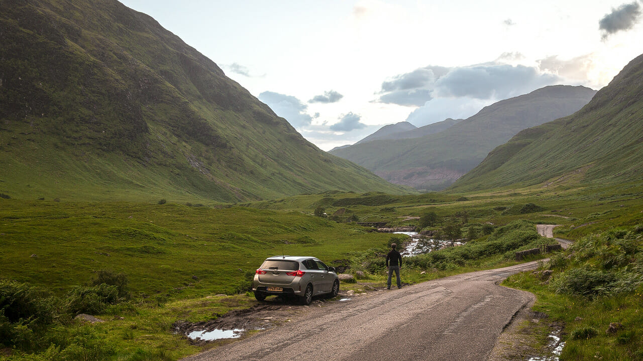
We almost missed the turn-off from the road through Glen Coe – it’s just a single track road. It leads us into one of the most beautiful glens of all – wild, remote and romantic.
There’s plenty to see along the roughly 20 kilometres, or 13 miles, into Glen Etive. Right at the start, a mountain shaped like a pyramid rises up on our right. Buachaille Etive Mòr is the subject of countless photos, usually with a waterfall in front of it.
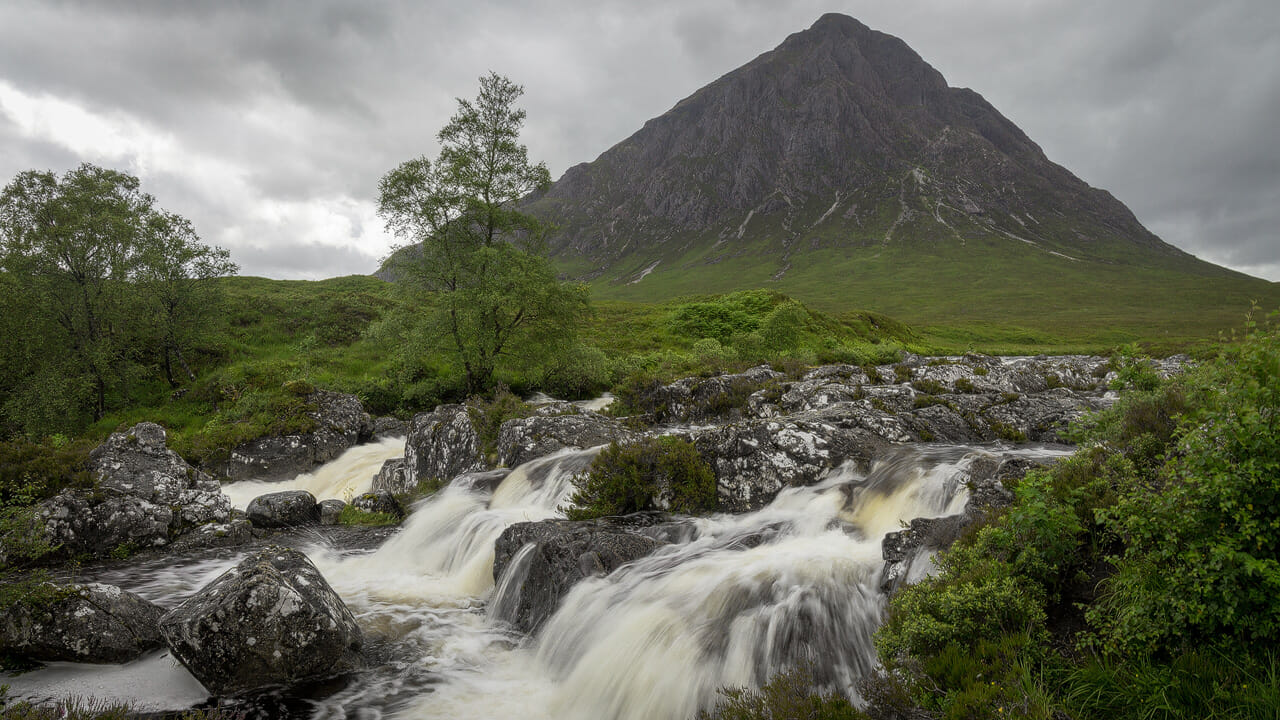
The waterfall isn’t far from the small road. Fairly early on, a small car park appears on the left. On the other side of the single track road, a footpath then leads up the embankment and a few hundred metres into the peat landscape. Peat landscape means it can be boggy – sturdy footwear is strongly advised here.
Buachaille Etive Mòr car park:
- Coordinates: 56.647837, -4.865885
- Mapcode: GCC4.MWZ (more on Mapcodes, in German for now)
Back at the car, we follow the road further into the glen, with the River Etive patiently accompanying us on the left in a deep gorge. The single track road is narrow and has its fair share of potholes. After a while the road swings right and the view opens up into the broad valley ahead of us. This is the spot immortalised in the James Bond film Skyfall.
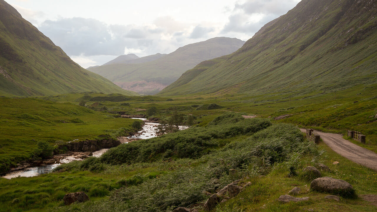
Where James Bond stood in Skyfall:
- Coordinates: 56.619466, -4.930720
- Mapcode: GC66.VMB
Naturally, everyone in the car insists on posing at the spot, one after another. Then we drive on, since the glen is still long. The scenery keeps taking our breath away, like when we pass Lochan Urr and look back.
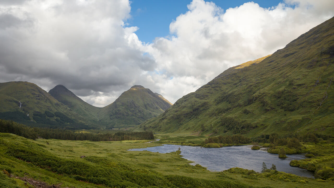
And we’re only about halfway at this point. The road heads downhill, and it’s fairly demanding for the driver, especially when it’s raining, as it is for us – a short but very heavy shower blocks our view for a while.
We pass Dalness Lodge, hidden from view behind a wooden fence. The descent into the glen finally ends in a larger stretch of woodland – from here on it’s flat going.
We eventually reach the car park at Loch Etive and walk once more down to the water’s edge.
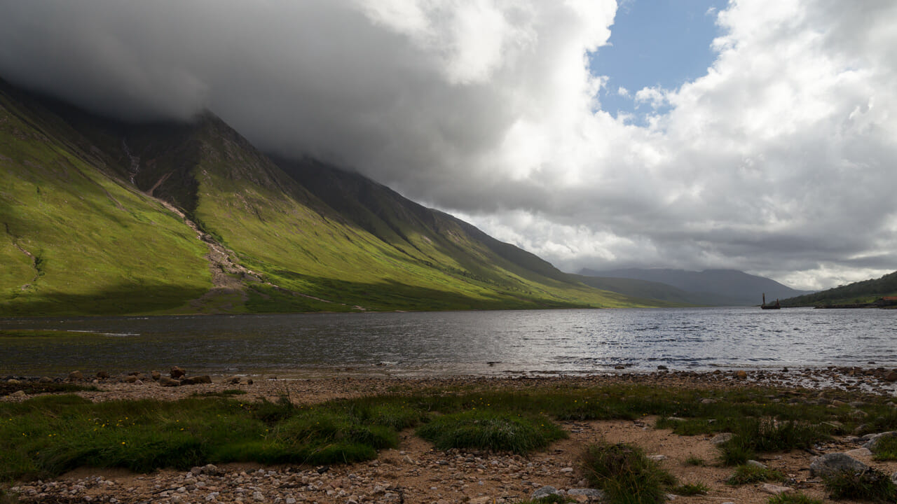
Here it becomes clear why the road lost so much altitude, since Loch Etive sits at sea level. Right beside it, though, rises Ben Starav, a mountain 1,073 metres high. Further back we can just make out Ben Cruachan, rising to 1,126 metres behind Glen Noe.
In front of the mountain, Loch Etive bends to the right and runs out of sight all the way to the village of Connel, where the loch is crossed by an interesting metal bridge.
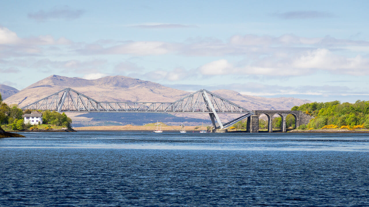
Beyond the bridge, Loch Etive ends with something special, the Falls of Lora. Some people call this a waterfall made of seawater. In fact it isn’t a waterfall at all, but a rocky ledge over which the water is forced back and forth with the tides, which makes it look like a drop. Impressive all the same.
Despite the rocks at the entrance to Loch Etive, steamships used to run all the way in from the harbour town of Oban up to the jetty that can still roughly be made out today, where the road from Glen Coe now ends. That said, this was more than 150 years ago. Today the upper part of Loch Etive lies remote and quiet – to the delight of many a hiker.
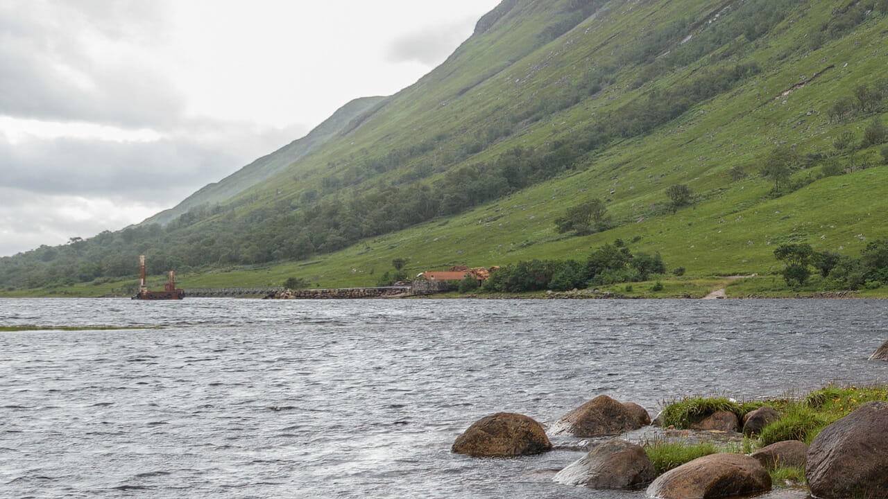
Sadly, this idyll has taken some damage lately, as Glen Etive is increasingly being polluted. The Facebook page The dirty truth documents the poor behaviour of some visitors in photos. A bit of litter is among the more harmless things; burnt-out cars are among the worse.
Still, the beauty of Glen Etive isn’t so easily destroyed. A detour from the busy A82 through Glen Coe here is well worth it.
Know-how: Glen Etive’s history and stories
Like the whole of the Highlands, this glen wasn’t always empty of people either. A little further down Glen Etive, to the south, lies Glen Noe. This was once home to Clan MacIntyre, and a road once ran along Loch Etive all the way to the village of Taynuilt near Loch Awe in the south.
There’s also a legend attached to Glen Etive: the Pictish princess Deirdre is said to have hidden here for a while with her lover Naois, while fleeing King Conchobar of Ulster from Ireland – you can read the whole story here.
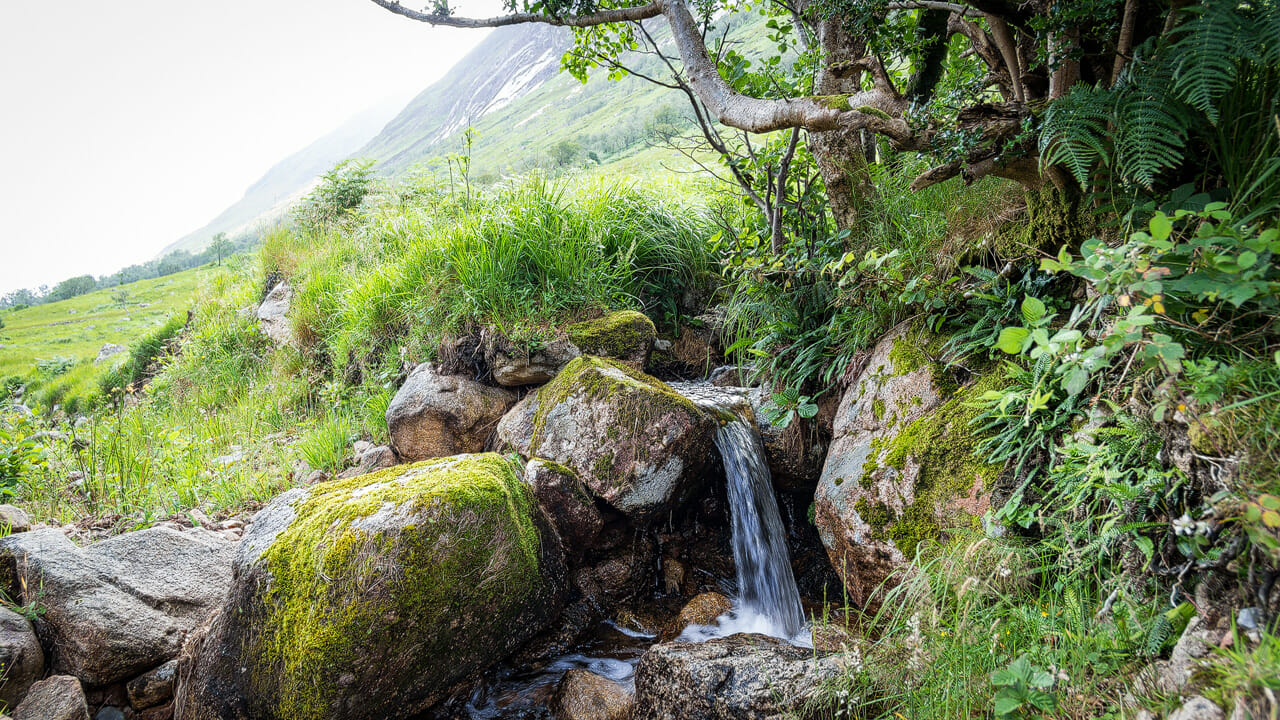
As with much of Glen Etive, most names here come from Gaelic. “Buachaille Etive Mòr” means “the great herdsman of Etive”, and the name of its peak, “Stob Dearg”, means “red point”. Glen Etive is said to derive from the name of a goddess and to mean “little ugly one”. Only “Skyfall” is definitely not a Gaelic name.
Tip: flora and fauna in Glen Etive
Even though the magnificent mountain scenery around Buachaille Etive Mòr and Loch Etive grabs all the attention, it’s sometimes worth looking down at the ground too. The peat and heather here hold quite a few surprises, such as carnivorous plants.
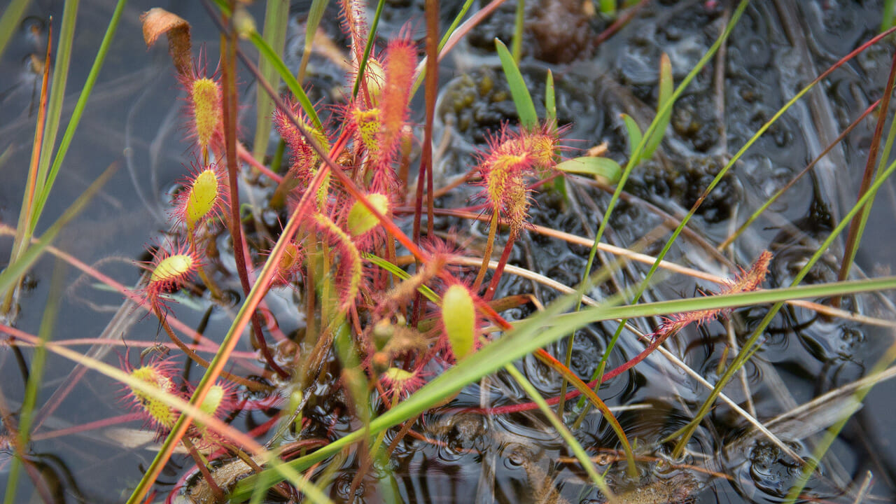
The sundew is a typical bog plant that lures insects in with a sweet scent, only for them to lose their lives on its sticky tips.
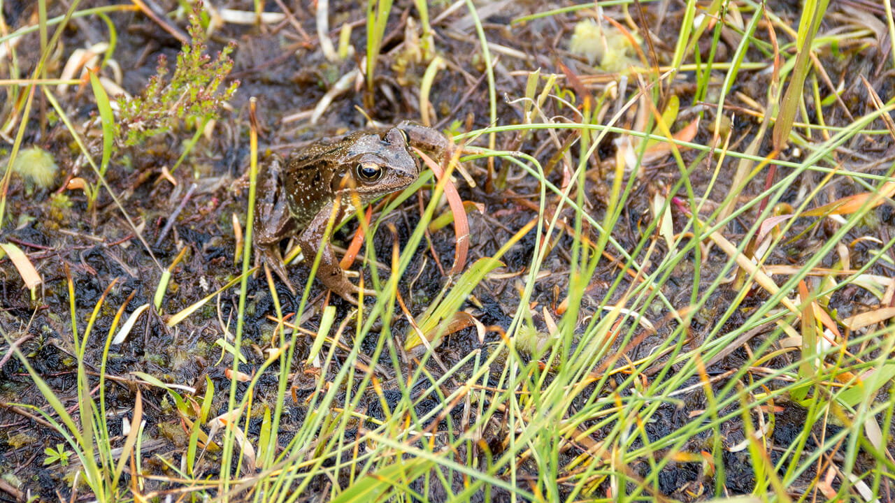
We even got lucky and found a common frog.
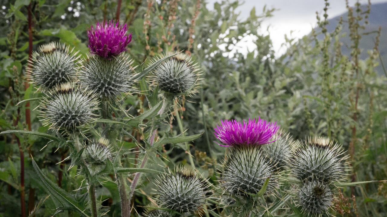
Among many other plants, of course, you’ll also find the classic Scottish thistle.
Incidentally, the same applies to Glen Etive as to Glen Coe: it’s a popular hiking area. A collection of routes can be found on Walkhighlands.
Getting there
With a sat nav: “PH49 4JA” takes you to Dalness in Glen Etive, from where you continue along the road down to the loch.
Without a sat nav: Coming from the south-east, follow the A82 towards Fort William. The road runs through Rannoch Moor and then passes the Glencoe Mountain Resort – easy to spot by the flagpoles and the large sign. Once past it, it’s still about 2.5 kilometres, or 1.6 miles, until the road turns left into Glen Etive.
Coming from the west coast, turn onto the A82 towards Crianlarich and follow the road through Glen Coe. Eventually you reach the pass, recognisable by the rocky outcrops and the layby by the waterfalls. After that the road heads back down and a wide plain opens up. From the waterfalls it’s about another 7 kilometres, or 4.5 miles, before the small road to the right leads into Glen Etive.
