On the western edge of Cairngorms National Park, a small river breaks through the rock to form a beautiful waterfall – the Pattack Falls.
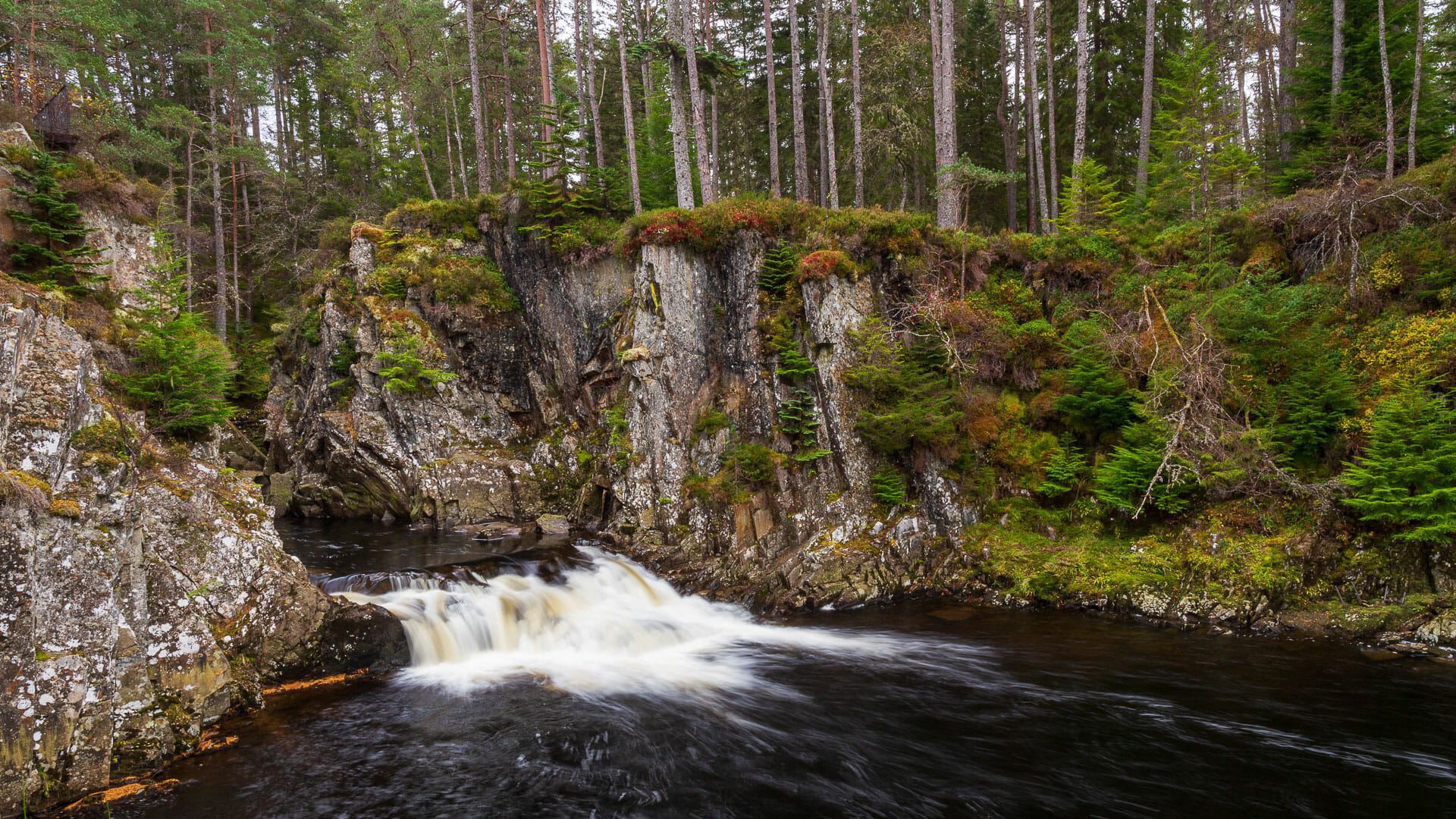
Loch Pattack lies at around 400 metres above sea level, right in the middle of the Grampian Mountains. From its northern tip springs the River Pattack, which shares its name. The small stream winds its way through valleys and gorges for twelve kilometres before pouring out as a waterfall, as if through a stone gateway. After that, the river bends west, where it finds its destination in Loch Laggan.
The Pattack Falls captivate through the rocky landscape they cut through. Lined by tall trees, the water has already carved deep into the stone before it even reaches the falls.
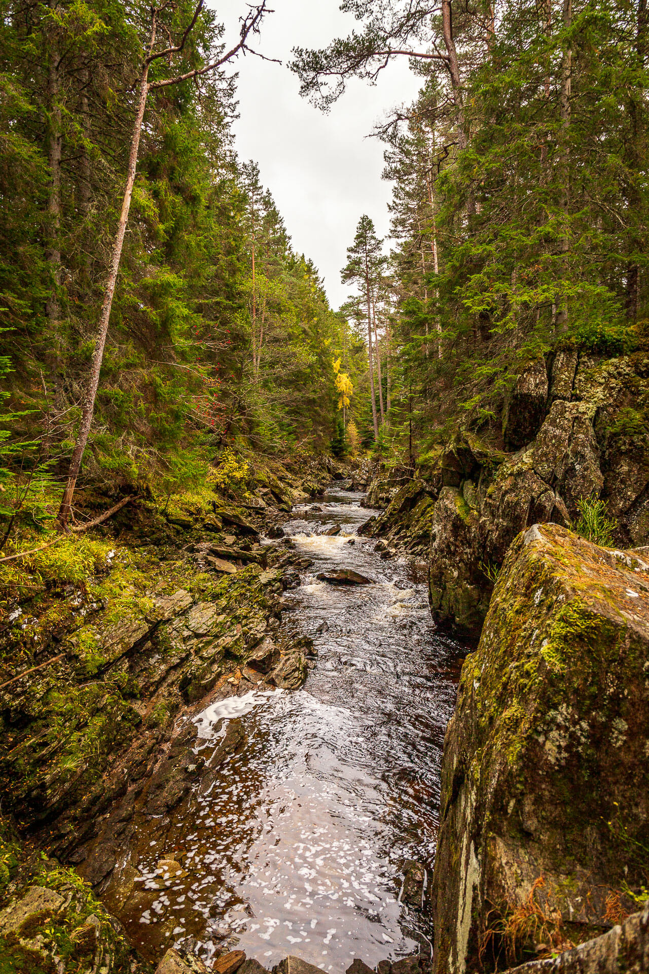
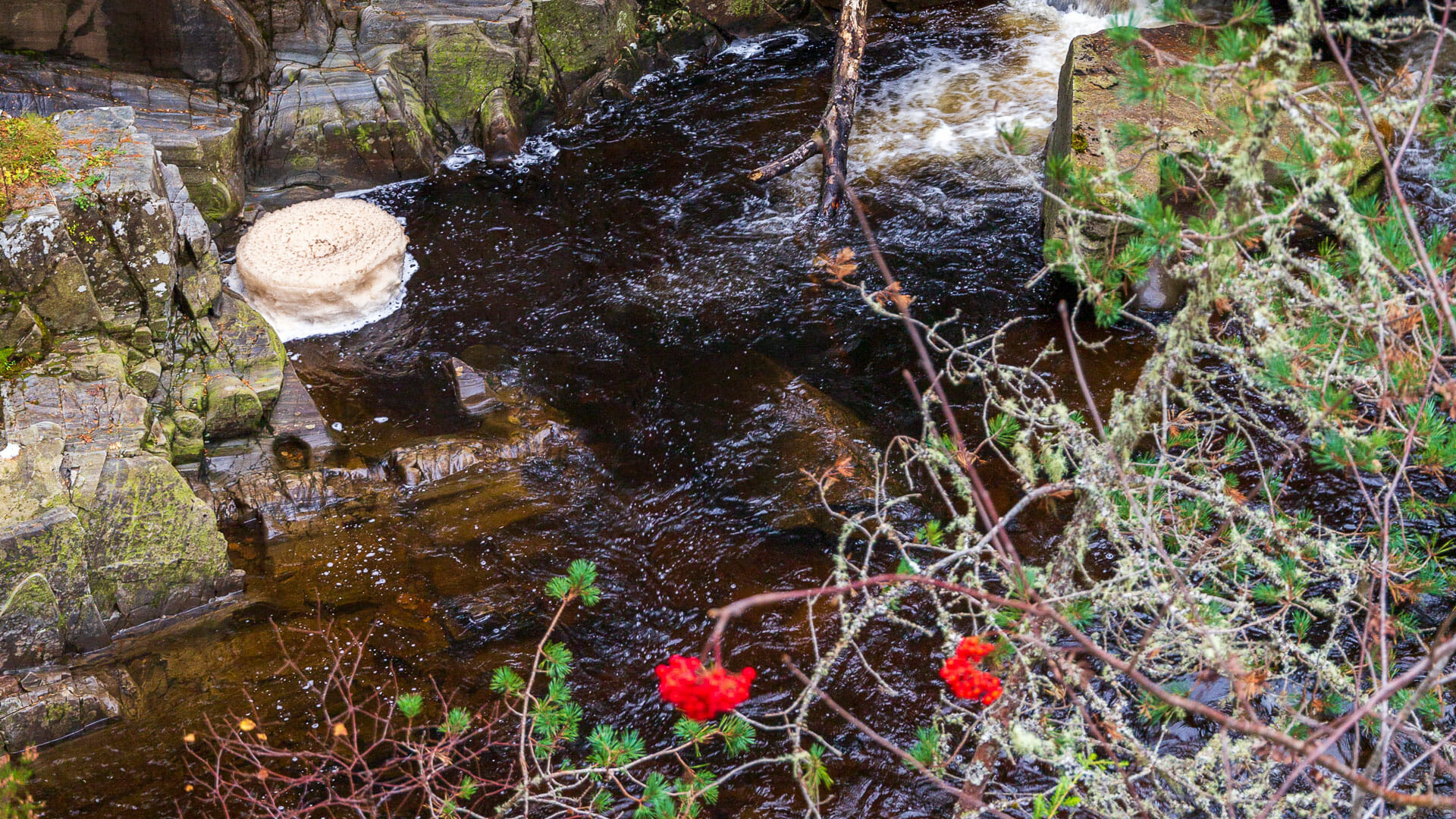
At the end of this small gorge, the river enters a stretch where it playfully takes a few steps, forming crowns of foam that swirl and dance in the water beside the falls.
The last of the small steps is flanked by tall rocks that form what looks almost like a gateway.
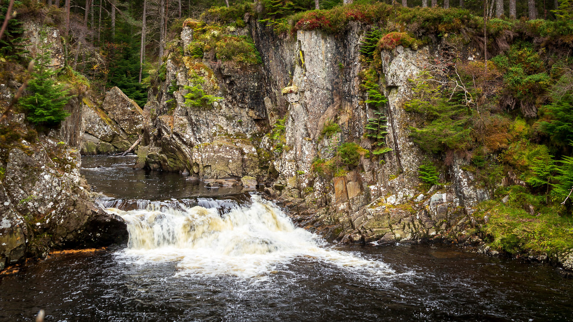
There are certainly bigger and more impressive waterfalls in Scotland. But the Pattack Falls are a lovely spot and make a nice short break if you’re travelling along the A86.
Walk: admiring the Pattack Falls
The round trip to the falls and back is around 800 metres and well maintained.
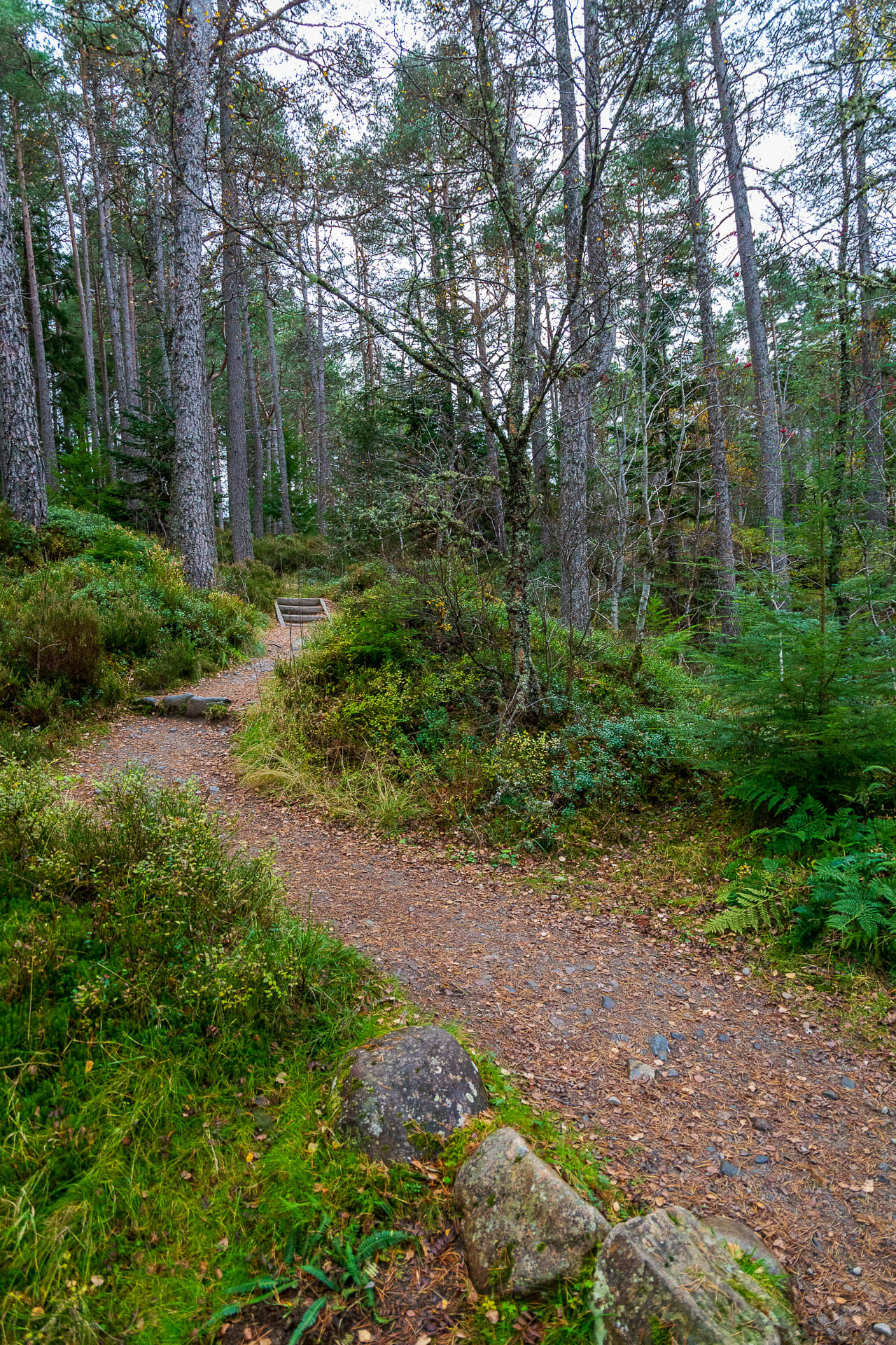
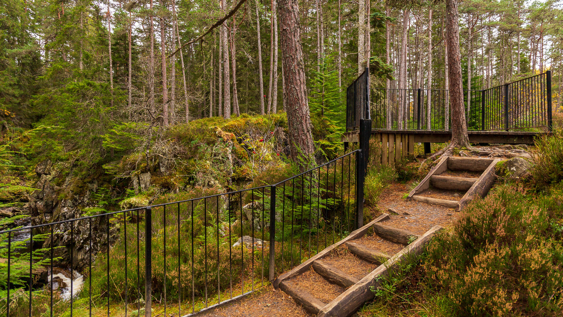
To allow visitors to enjoy the falls from different angles, a viewing platform has also been built above them.
If you have a bit more time, you can also take the path up to the abandoned village of Druim an Aird. It’s around 2.5 kilometres long and climbs about a hundred metres in height.
Getting there:
With a sat nav: “PH20 1BY” is the postcode; from there, continue a little further west along the A86.
Without a sat nav: the Druim an Aird car park, from where the walk starts, lies on the A86 between Newtonmore and Spean Bridge, around 17 kilometres west of Newtonmore and 35 kilometres east of Spean Bridge.
Signage for the walk can be found at the car park. Please also check for any warning notices – there may be tree-felling or similar work taking place there.