Ancient Atlantic rainforest in Scotland – it has survived on a peninsula in the west. Taynish National Nature Reserve offers ancient trees and wonderful views.
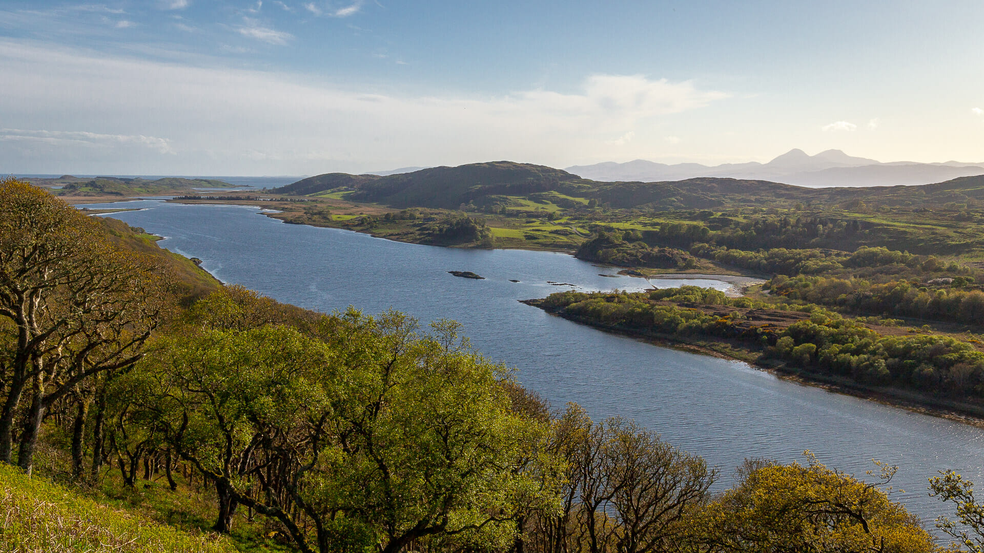
There is a piece of Scotland that hardly anyone knows. A piece of Scotland that doesn’t constantly turn up in magazines or on Facebook pages, that hasn’t yet travelled the world as a film backdrop – and that is nonetheless more untouched, wild and romantic than many parts of the Highlands. On the west coast, barely noticed, lies the small Taynish peninsula, on which an ancient rainforest has survived, of a kind that is now rarely found. That’s why the area is protected as Taynish National Nature Reserve. Anyone can visit it. And it’s well worth it.
Why is Taynish Wood a survivor of an ancient Scotland? Scientists have found through pollen analysis that its history goes back 7,000 years. And an examination of old maps shows that the forest was already marked here around 250 years ago too.
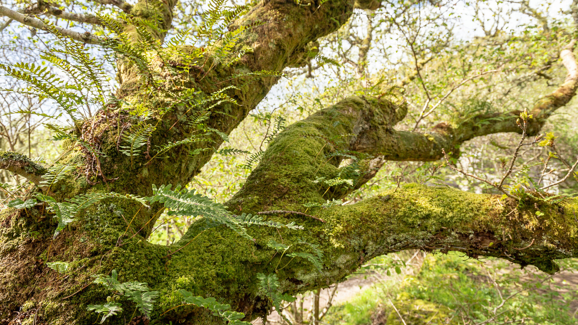
Oaks dominate. They grow up to 20 metres tall and some of them are around 130 years old. But alongside them also grow ash, birch, alder, ferns, lichens and mosses. Butterflies flit between them, and birds nest among them.
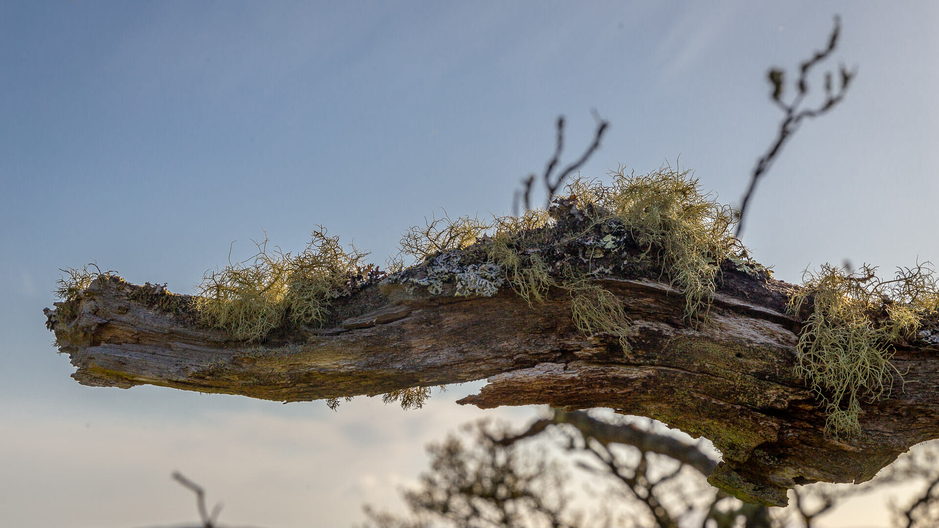
You can describe this forest well enough with numbers and facts. But on site, it’s enough just to take a look at the gnarled, decaying, wind-bent trees, draped with beard lichen.
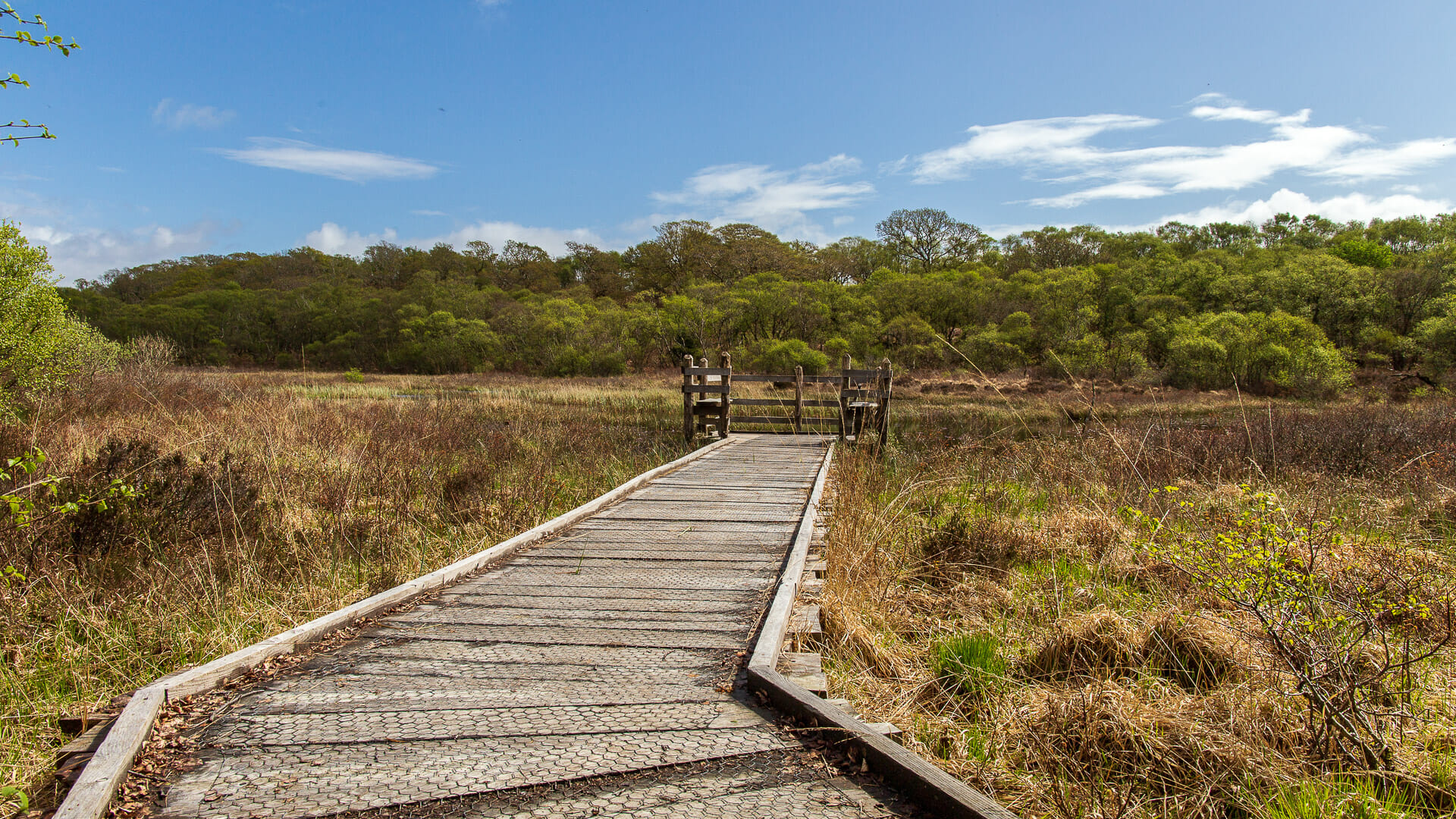
The best way is to experience and sense this rainforest yourself. Several small walking trails run through the area. One, for example, leads to Loch Sween, the sea inlet that cuts the peninsula off from the mainland. The path first passes Lochan Taynish, which tapers off into a marsh on one side. A boardwalk safely takes you a few metres into it.
“Lochan”, incidentally, is the diminutive of loch, so it roughly means “little loch”. It’s not actually that small. Lochan Taynish is also the peninsula’s only freshwater loch.
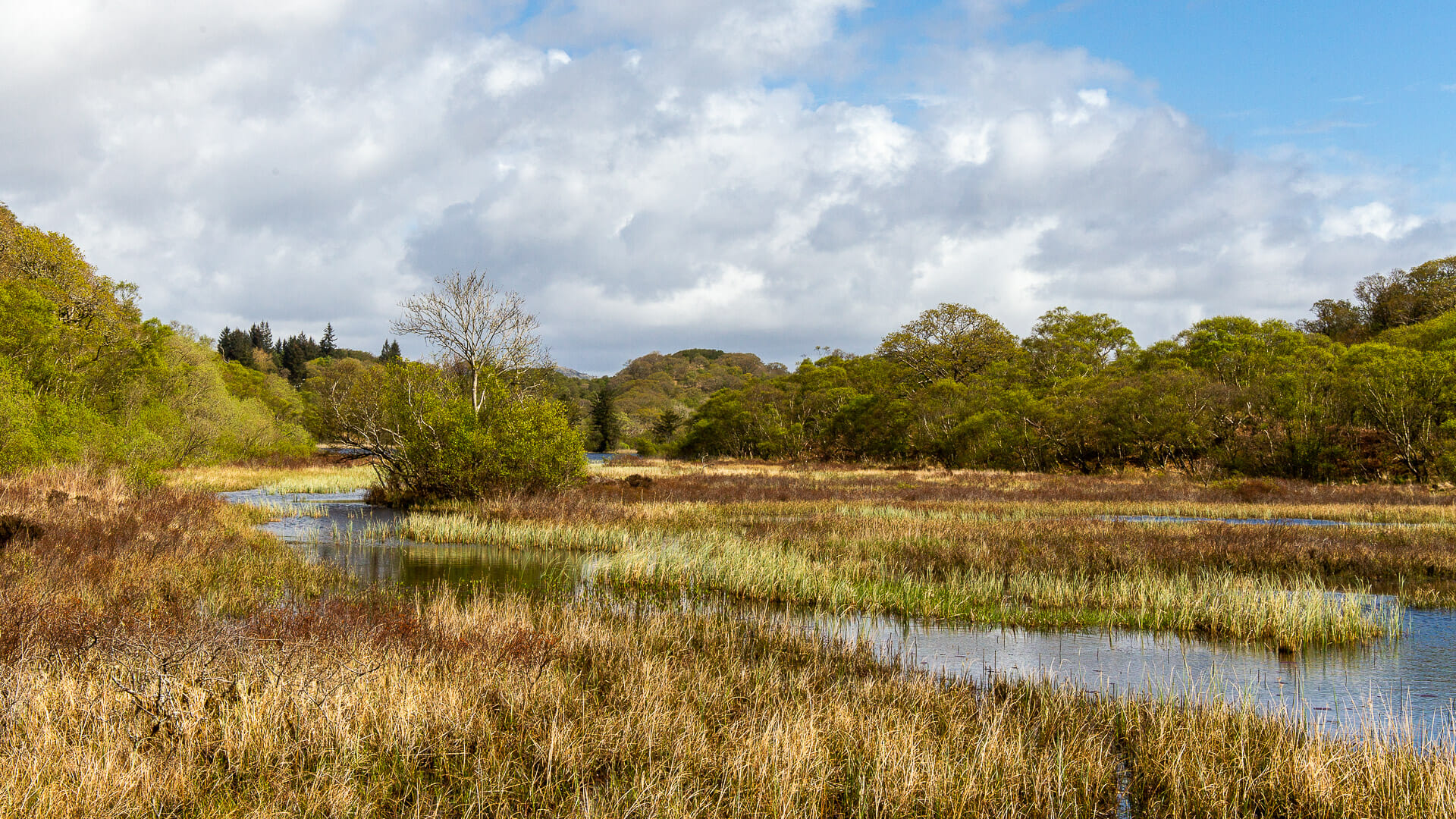
The rainforest of Taynish is ancient, but it is not untouched. People have always lived alongside, in and around it too. Traces of farming can be found here, which fed inhabitants from the Iron Age right into the 19th century. In the 18th century, there were so many settlements and fields around Loch Sween that a mill of its own was worthwhile here.
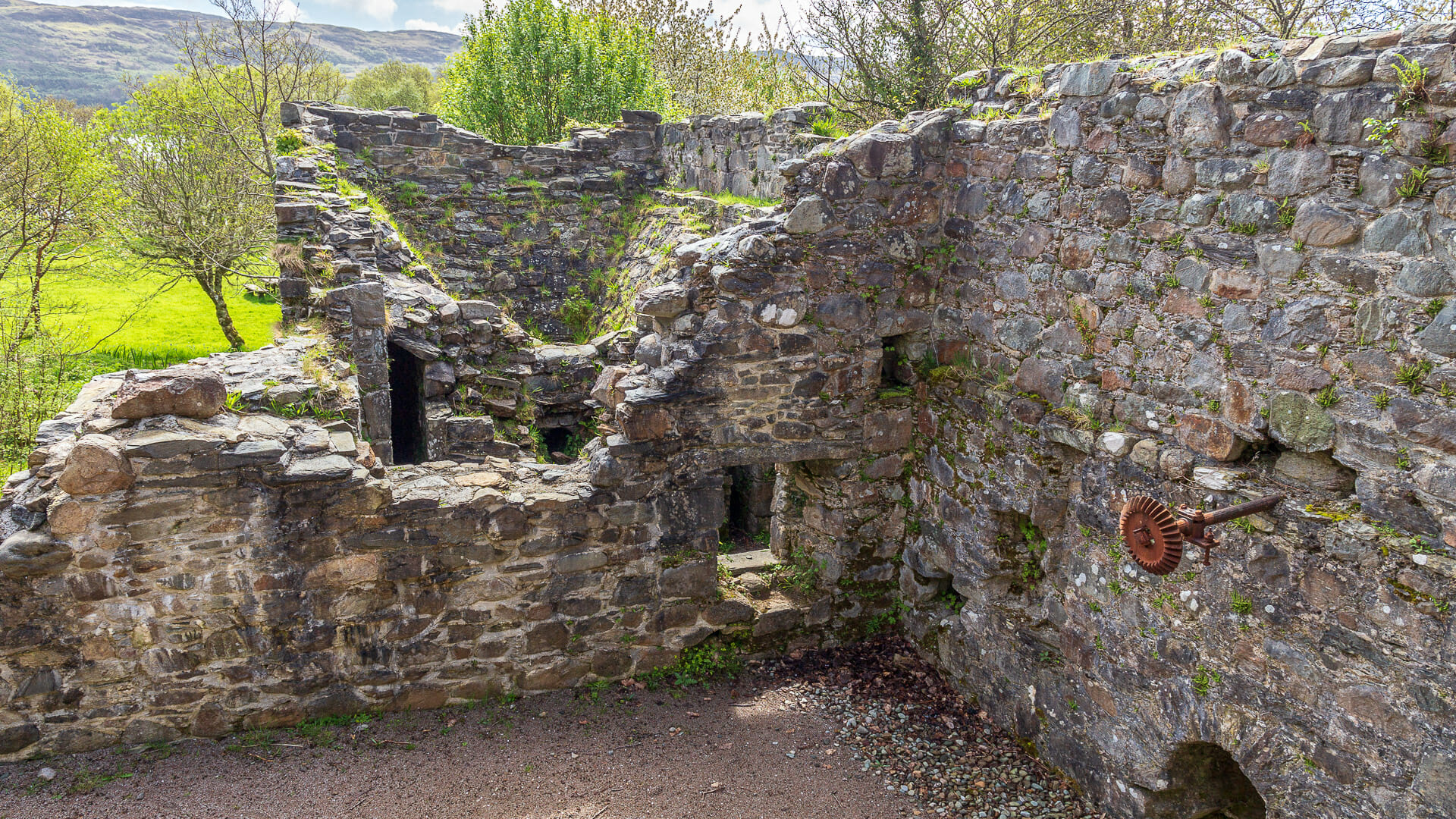
Its remains can be found near the beach at Loch Sween. The mill was built in 1724 and operated for around 150 years. The millstream, which spills into a small waterfall behind the building, then flows into Loch Sween a little further on.
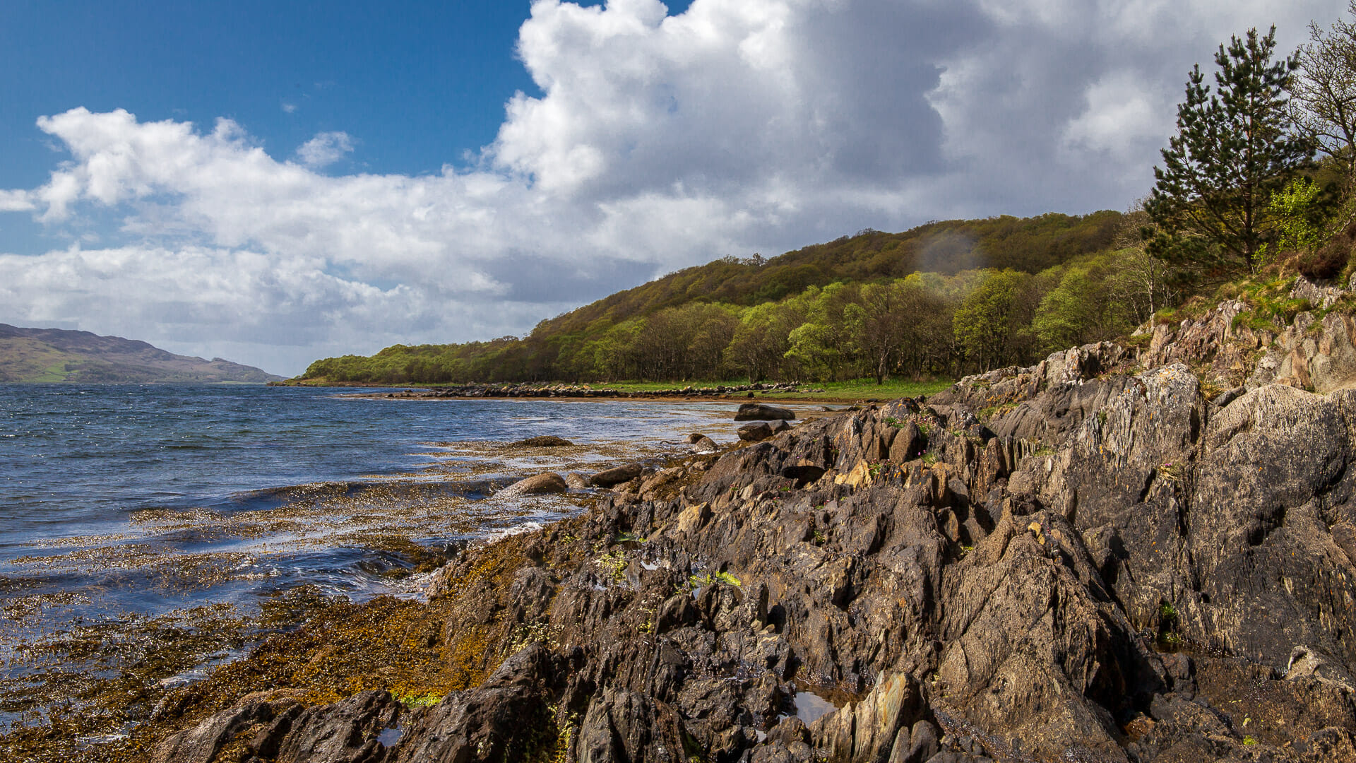
This is where the reserve’s coastal path runs. But walkers can also take the path up to Barr Mòr, meaning “big peak” in English. The path climbs to a respectable 129 metres, passing beneath trees through which the view can at first only be guessed at.
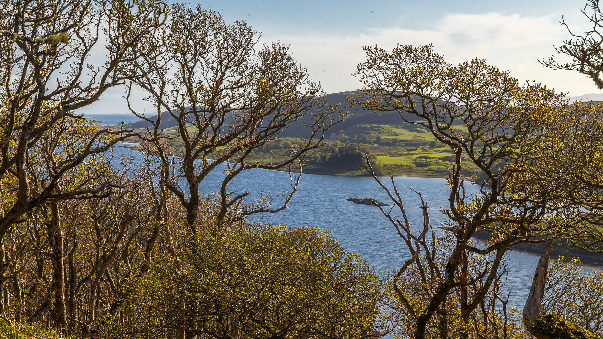
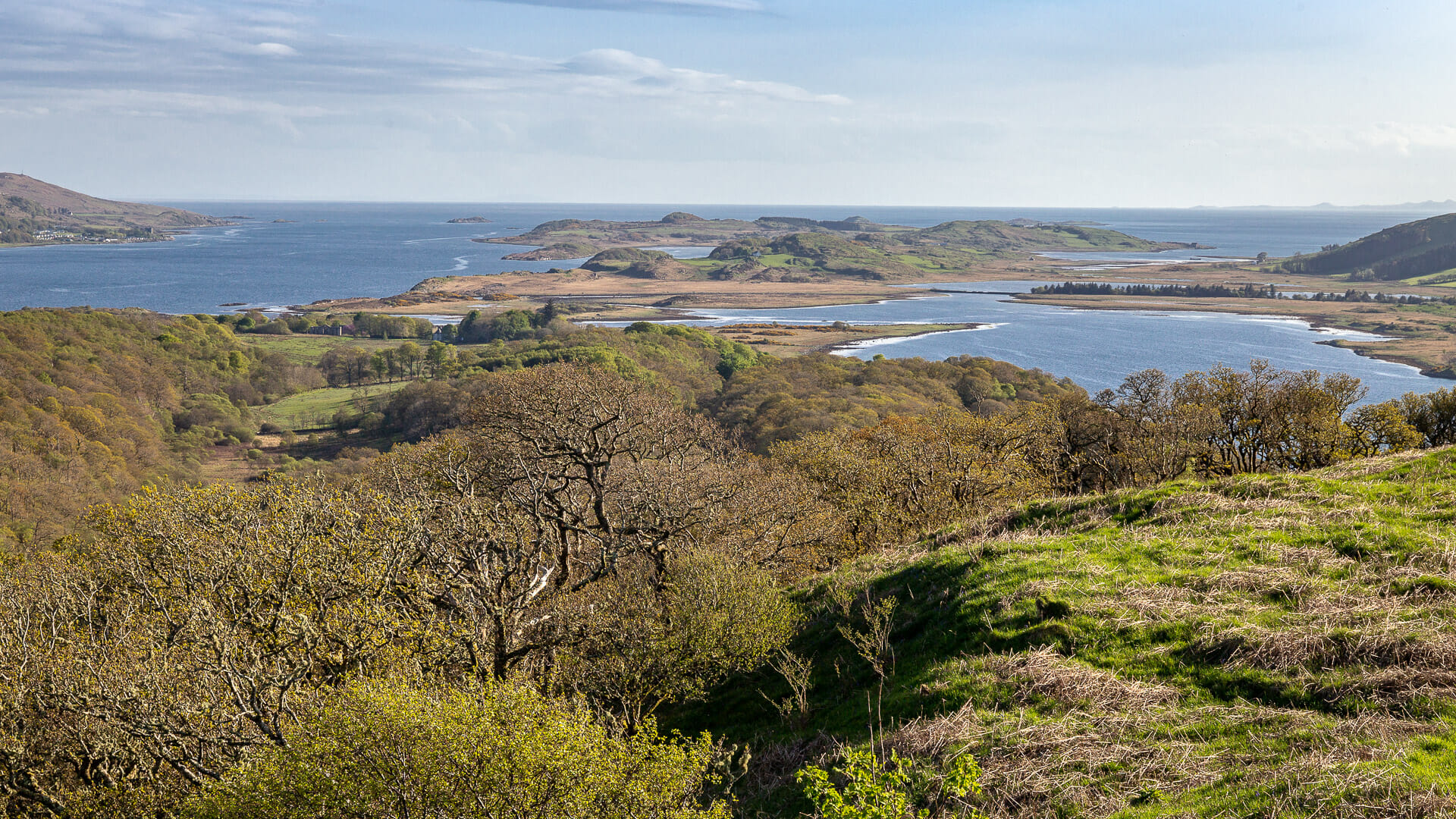
But up top, a tree-free stretch opens out. And with every step, the view changes. To the south lies the end of the Taynish peninsula.
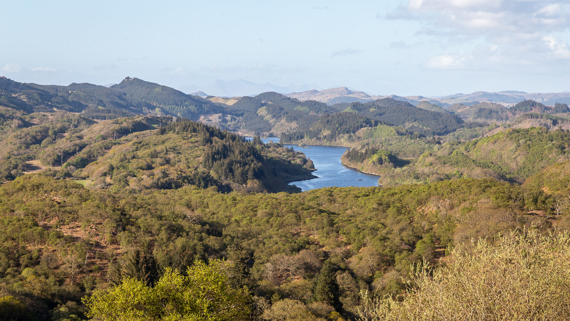
To the north, wide forests, hills and lochs stretch out towards the little village of Tayvallich and beyond.
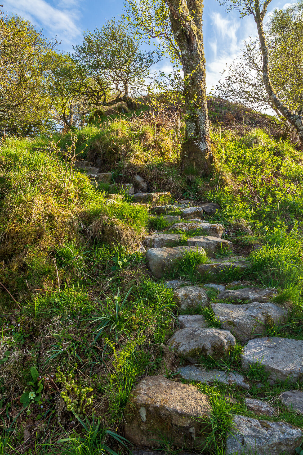
Eventually you reach the far side of Barr Mòr, and then it’s on to the sometimes tricky but still beautiful descent through the forest, often on fairly roughly hewn steps.
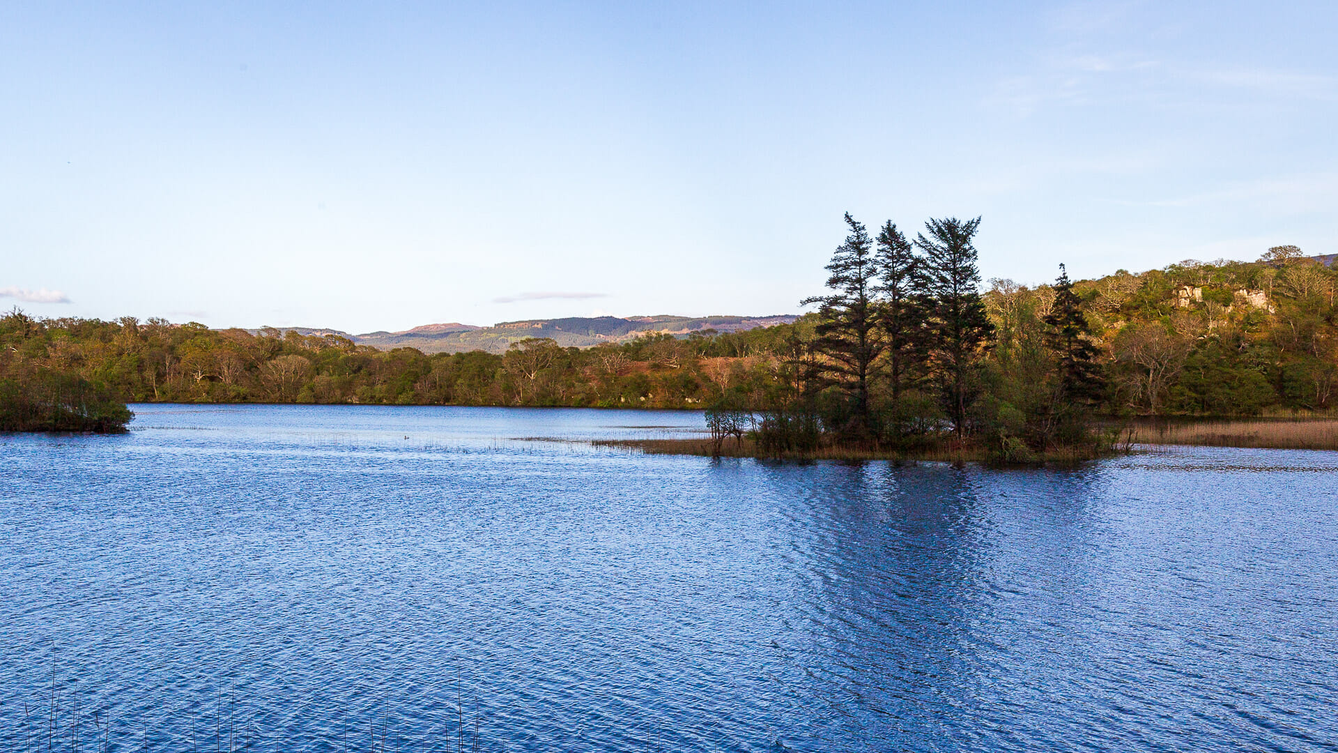
The walk ends on the little road and leads back to the car park. Along the way, it passes Lochan Taynish once more.
The forests, marshes, hills and coasts of Taynish National Nature Reserve are definitely worth a trip. A day out here can be nicely combined with a boat trip to the Corryvreckan.
Know-how: About the Taynish rainforest
The Taynish peninsula is about 5 kilometres long and 1 kilometre wide, with Barr Mòr rising in the middle. The warm Gulf Stream flows around the land to the west and east, providing a mild climate. Combined with the high rainfall, this produces a temperate rainforest of a kind that was once typical of the whole of Britain. Most of these forests were felled, only a few survived, and Taynish is among the finest surviving examples.
Rainforest, of course, also means that weather like that seen in these photos doesn’t always occur. Just one day earlier, the flowers still looked like this:
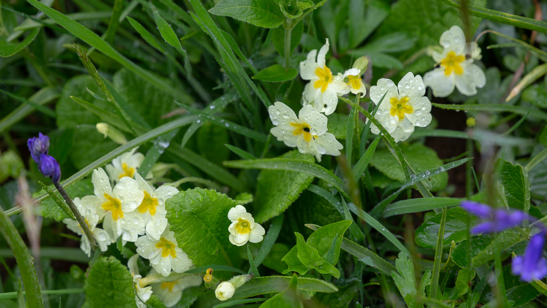
It had rained all day.
Getting there and walking route:
With satnav: “PA31 8PW” takes you to the little village of Tayvallich, which lies at the start of the peninsula. Make sure to turn left in the village.
Without satnav: From the A816, which runs along Scotland’s west coast below Oban, follow the signs to Crinan and Tayvallich. The route crosses the Crinan Canal and then runs alongside it. A little before Crinan, a road branches off to the left towards Tayvallich. Follow it into Tayvallich. At the end of the village, keep left, following the brown sign to “Taynish National Nature Reserve”. From here, incidentally, the road becomes a little trickier. It’s a single track road with no official passing places. It ends at the car park, from where the walks start.
You are currently viewing a placeholder content from Google Maps. To access the actual content, click the button below. Please note that doing so will share data with third-party providers.
More InformationOn the map I’ve marked our route over Barr Mòr and to Loch Sween. There are further walking routes, available as leaflets at the car park. For the detour to the loch and the loop over the hill, you should allow about three hours.
