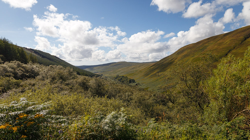
Well sheltered in the Firth of Clyde, not far from Glasgow, lies the Isle of Arran. That makes the island a popular day-trip destination, often called “Scotland in miniature”. And it really does have a beauty all of its own.
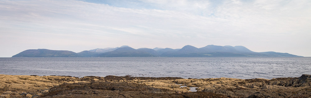
Arran at a glance:
32 kilometres long, about 16 kilometres wide, and shaped a bit like a potato, the Isle of Arran sits nestled in the Firth of Clyde between the Kintyre peninsula and the Scottish mainland. People call it “Scotland in miniature”. But how can a whole country fit onto such a small island?
The secret lies in the island’s split personality: running right through the middle of it is the Highland Boundary Fault, a geological line. So the north of Arran belongs geologically to the Highlands, while the south belongs to the Lowlands.
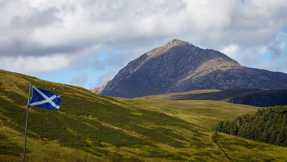
You can see that in the landscape. The south, with its lush grassland and gentle hills, is very popular with farmers. The north, by contrast, is dominated by rugged mountains around the island’s highest peak, Goatfell, at 874 metres.
The island doesn’t skimp on the glens so typical of the Highlands, either. In the north lies the gloriously wild Glen Sannox, perfect for walking:
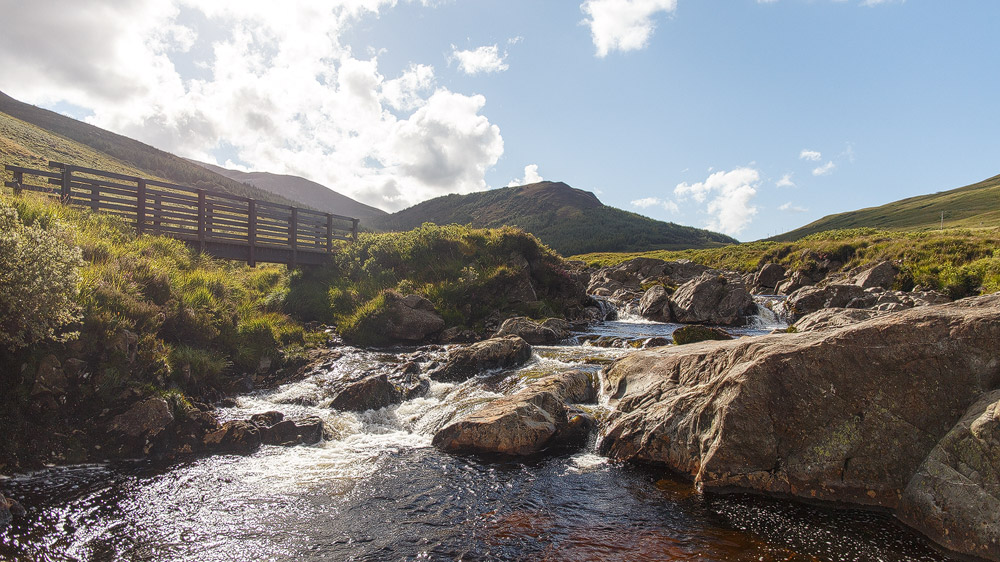
Through the middle, “the String Road” cuts across the island, running through the valley between the village of Brodick in the east and Blackwaterfoot in the west.
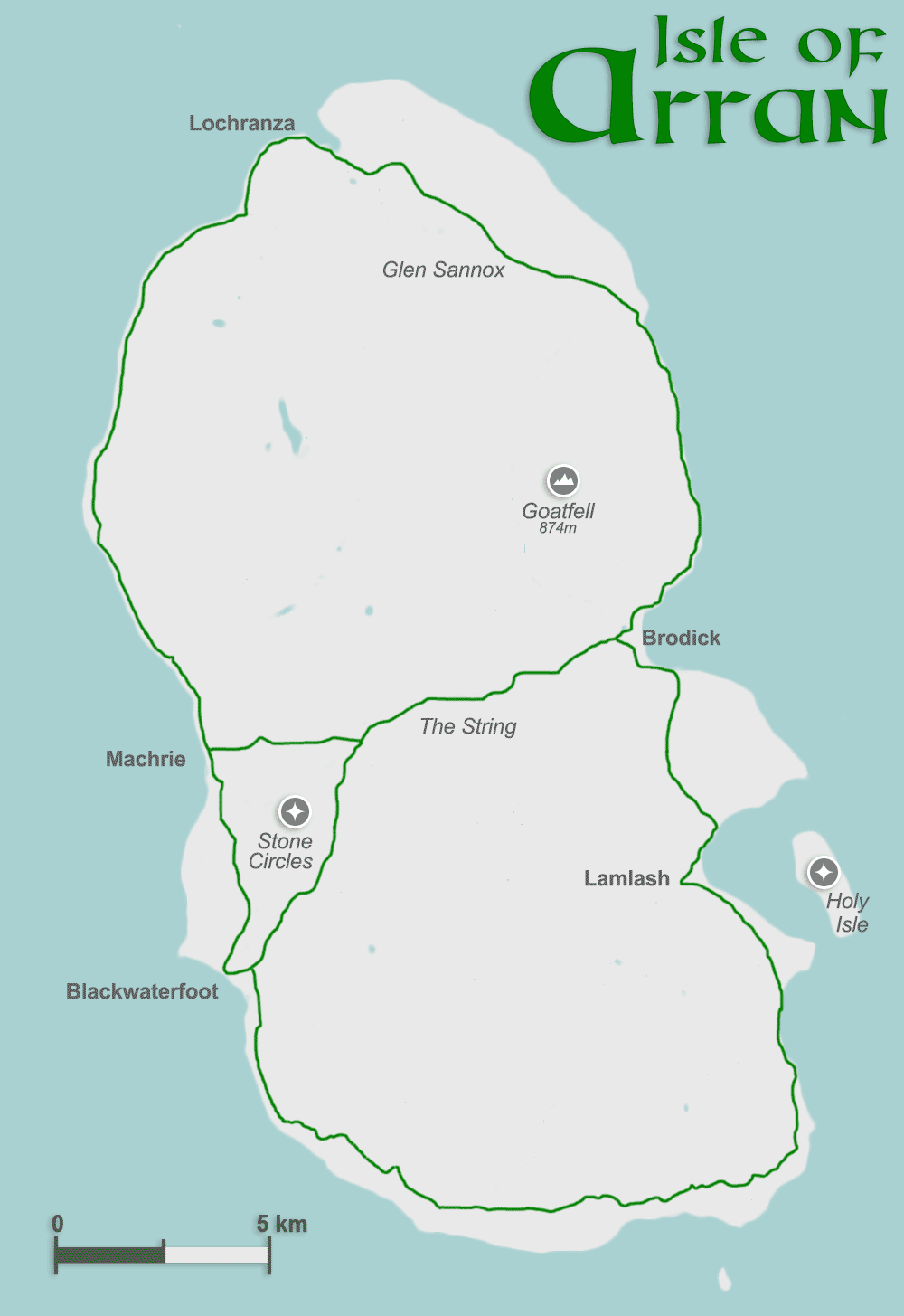
All this glorious nature is framed by an exciting coastline with some beautiful bays, such as the one at Lamlash.
All of that is what makes Arran a mini Scotland. Only the sweeping sandy beaches of the Outer Hebrides are missing here.
Population: The people of Arran
Although the island is relatively small, its closeness to central Scotland makes it a pleasant place to live. Arran’s population has kept declining in recent years, from 5,045 in 2001 to 4,629 people in 2011, yet Arran still has the sixth-highest population of Scotland’s islands.
The population is concentrated on the east coast. Brodick, the island’s main village, is home to 848 people. Larger still is the community of Lamlash a little further south, with 957 residents. The rest is spread across settlements along the roads, such as Corrie or Lochranza.
Everyone speaks English today. The last native speaker of the Gaelic once widely spoken here died in the 1990s – even though “Eilean Arainn” once had a dialect entirely its own.
The island’s main employer today is tourism. The many sights, the wonderful scenery, the closeness to Scotland’s major cities and, not least, the golf courses all make the island popular.
But alongside that, there’s also an interesting food and drink industry. Whisky production, of course, comes first. The Arran Distillery has been distilling the “water of life” in Lochranza on the west coast since 1995.
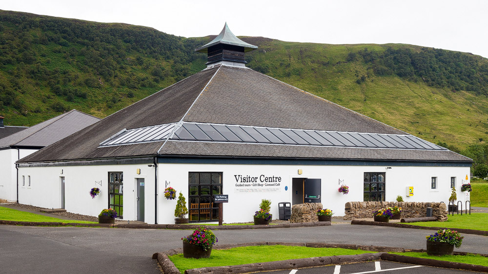
A little less potent is the beer from the Arran Brewery. Its pale “Arran Blonde” can be found in almost every well-stocked supermarket in Scotland.
Also suitable for kids are the products of Arran Dairies – ice cream leading the way. But cheese and other dairy products come from this factory too, part of the Taste of Arran group, which also covers salmon smokehouses and oatcake makers.
By the way: you can visit some of these companies as a tourist, to get a glimpse of production – and, of course, to try the results.
History: The rulers of the Isle of Arran
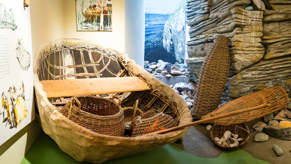
Hunter-gatherers already roamed the island more than 7,000 years ago, in the so-called Mesolithic period. To cross the sea, they likely used tree trunks or basket-like craft covered in animal hide – so-called coracles. In several places on the island they left behind stone tools, charcoal traces from campfires, and hazelnut shells, which allowed scientists to work out an approximate date. These earliest signs of settlement date to somewhere between 6,100 and 5,300 BC.
The Stone Age too saw its share of dramatic change, and probably the most important was the shift to farming. From then on we speak of the Neolithic period. Signs of land clearance suggesting agriculture date to around 3,750 BC – and from that point a culture developed on the Isle of Arran much like the one found across the whole of Scotland. The first stone tombs were built, and eventually stone circles appeared, just as they did on Orkney or the Outer Hebrides.
On Arran there’s one site with truly impressive monuments: at Machrie Moor a total of six stone circles have been counted. Of the largest, only three stones remain, but they’re huge, and give a real sense of what was once built here.
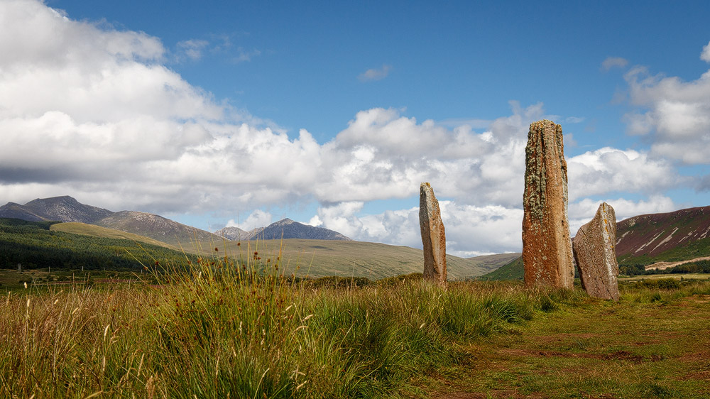
This sacred site was in use between 3,000 and 1,500 BC. That already brings the monument into the early Bronze Age from 2,000 BC onward, during which the people of Arran also learned to work metal. Foundations of houses from this period have been found on the island too.
When Claudius Ptolemy wrote, around AD 150, about five islands north of the coast of Ireland, he may well have meant Arran among them. Arran really does lie roughly as close to the north coast of Ireland as it does to Glasgow – about 60 kilometres either way. According to the Greek historian, the inhabitants of the archipelago in and around Argyll were a tribe called the Epidii, the followers of Epidios, the “lord of horses” – Arran was presumably part of this tribal territory. Presumably. Nobody can say for certain.
Even during the time of the kingdom of Dál Riata, there’s no direct mention of Arran. Yet the name might share a root with the word “Ireland”. Ptolemy also wrote of the “Iverni”, the Irish. Later, people spoke of the Érainn group. The sound shift from E to A – as historian Thorbjørn Campbell suggests – isn’t unusual. Other theories say it means “pointed mountain”, or derives from the Gaelic word for “kidney”: “àra”. The island’s shape could fit that. Though the people of the time presumably had no idea of that shape – there were no maps, let alone aerial photographs.
It’s highly likely that during the time of Dál Riata, the Cenél nGabráin – the kindred of Gabrán – held sway over Arran, just as they did over the neighbouring lands of Kintyre, Cowal and Bute. For several decades this kindred held supreme power over the whole of Dál Riata. Oddly enough, though, no island that could be Arran appears in the famous census known as the “Senchus fer nAlban”.
So Arran lay hidden behind a kind of veil of time. That fits neatly with the theory that the mythical Avalon, to which the legendary King Arthur was taken, was in truth the Isle of Arran. Not only does Avalon mean “place of apples”, and Arran is presumably the Emhain Abhlach (“plain of apples”) often mentioned in Irish mythology – the island is also said to have had a healing spring.
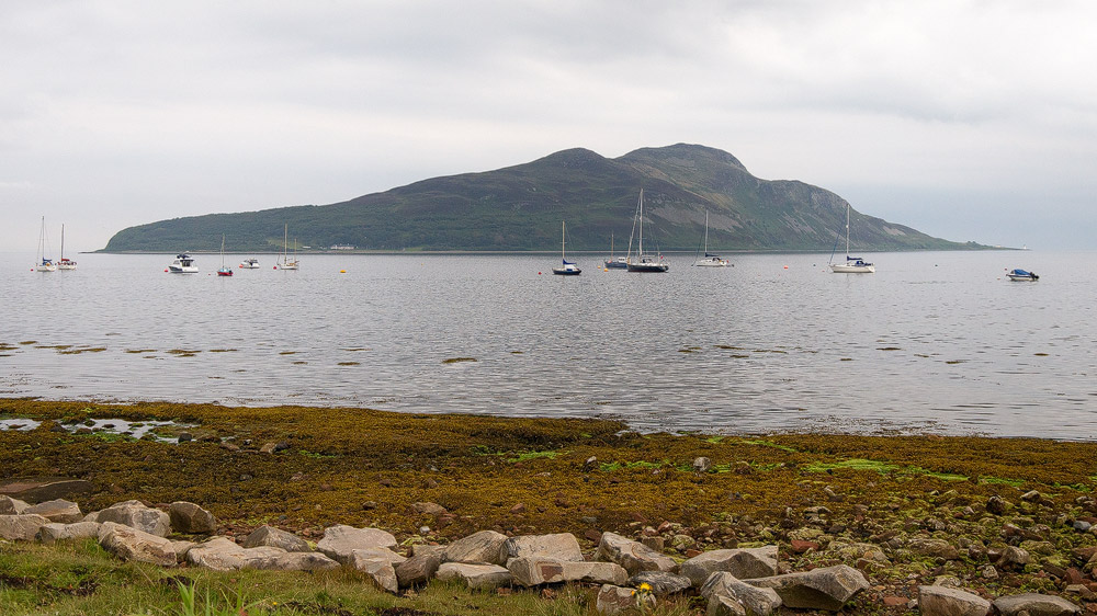
Around AD 600, another kind of healing was sought here by a contemporary figure: the salvation of his own soul. Saint Laise settled on the small island in Lamlash Bay. It was promptly renamed the “Holy Isle” thereafter. Saint Laise later went down in Arran’s history as St Molaise. The syllable “Mo” means “my” in Gaelic.
Molaise lived in the time of St Columba and, from his refuge, brought Christianity to the island of Arran.
Hard times followed for Scotland: the Vikings descended on the islands and coasts and gradually forced them under their rule. Today’s place names show that Arran was affected too. Brodick, for instance, comes from the Norse “Breidavik”, meaning broad bay. Or Sannox, which originally derives, via the Gaelic Sannaig, from Sandvik, meaning sandy bay. There are many such examples on Arran.
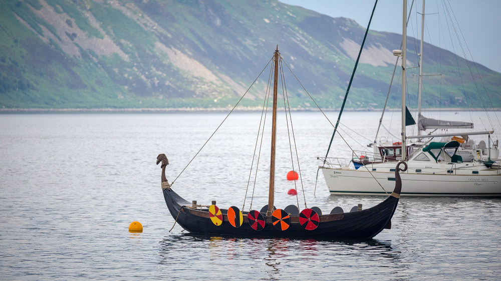
This era is kept alive today by the Viking Longboat Society, whose dragon ship now lies at anchor in Lamlash Bay. (If you’ve watched the TV series Vikings, you’ve already seen it – the boat makes an appearance in it.)
There’s a reason the boat still sits in Lamlash today. Even back then, this bay – sheltered by the Holy Isle offshore – was a strategically important spot. And from Arran, the entire Firth of Clyde could be controlled.
At the southern end of Lamlash Bay, near Kingscross Point, a Viking grave was also discovered, finally providing the first firm date in Arran’s history. Among the grave goods was a coin of Wigmund, Archbishop of York, who only held that office from the year 837 onward.
After that, though, our knowledge runs dry again. During the time when Somerled was building the Gall-Gaidhil people into a power on the west coast, and while Scotland was taking shape under King David I, Arran isn’t mentioned at all. Only once Somerled’s son Angus is described as Lord of Bute and Arran do we learn anything about the island again. Angus lived until AD 1210 – and the Norwegians were still a strong power on Scotland’s west coast at the time.
That changed in 1263 with the Battle of Largs. Largs is a town on Scotland’s west coast, roughly level with Glasgow. King Haakon Haakonsson of Norway led his fleet into the Firth of Clyde and had it anchor at Arran in the sheltered Lamlash Bay. From here it’s just 33 kilometres across the water to Largs.
Haakon wanted to bring the west coast and the islands back under Norwegian control, and his forces were formidable. He first negotiated with the Scots, who wanted at least to keep hold of Arran and Bute. Haakon refused, broke off negotiations, and sailed for Largs, intending to push inland from there.
But on the night of 30 September 1263, fierce winds blew up and drove several of the fleet’s ships onto the shore. The two forces clashed there. The fighting ended without a clear winner, but the demoralised Norwegians withdrew the next day – back to Lamlash Bay. On the voyage home to the north, Haakon died at the Bishop’s Palace on Orkney. Three years later, under the Treaty of Perth, the Norwegians formally gave up the islands too – and so Arran passed into the hands of the Scottish king as well.
Robert the Bruce on Arran
But which Scottish king was to rule? There were several claimants. Around 1300, the English king Edward tried to force the northern kingdom under his control. After a battle near Perth in 1306, the newly crowned King Robert the Bruce was forced to flee. Exactly where he fled to first isn’t entirely clear. But his journey back became legendary – and it led via the Isle of Arran.
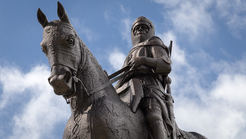
To be precise, Robert used Arran as a stepping stone for a first important strike. Coming from the island of Rathlin, which today belongs to Ireland, he sent two loyal men ahead with a crew. They crossed via the Kintyre peninsula to Arran’s west coast, marched overnight to the east side, and attacked the garrison of Brodick Castle. Whether they actually managed to take the castle isn’t entirely clear, but they were able to join up with Bruce at Lamlash.
The real target of the operation was Turnberry Castle, on the other side of the Firth of Clyde, once the seat of Robert the Bruce himself. Here too, an advance party crossed over first from Arran. The plan was for the men to light a fire once Bruce should follow. But once there, the scouts saw the castle was too heavily defended and chose not to light the fire. A fisherman happened to light one anyway, and so Bruce and his men followed regardless. Now there was nothing left to do but attack – which they did, successfully.
It was the first small victory in a chain of skirmishes that eventually led to the Battle of Bannockburn – but that’s a story far removed from Arran.
Arran had been in the hands of Clan Stewart since around 1160, yet the Lords of the Isles kept laying claim to the small island from that time onward too. In 1453, even by force of arms, when John MacDonald, the last Lord of the Isles, laid siege to Brodick Castle – it did him no good; on the contrary, the realm of the Lords of the Isles soon passed to the Scottish crown for good.
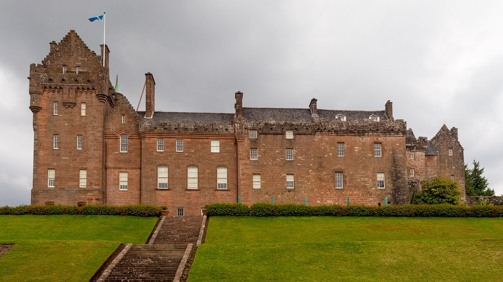
Over the following centuries, ownership of Arran passed from the Stewarts of Menteith to the Boyds, and soon after to the Hamiltons.
Then came the time of the Civil War, one horror following another. Arran was no exception. The cause: religion. Everyone was Christian, of course, but reformed Presbyterianism had spread especially strongly in Scotland. When the pro-Catholic King Charles I of Great Britain and his archbishop William Laud tried to introduce new prayer books, resistance organised itself as the so-called National Covenant in 1638. The Bishops’ Wars broke out.
For Arran, that meant: as early as 1639, Brodick was occupied by Archibald Campbell, 1st Marquis of Argyll, a supporter of the Covenant, who drove out the Hamiltons, who in turn were loyal to the crown. In 1646 the people of Arran tried to drive the Campbell supporters out of the castle, but in response they laid waste to the land so thoroughly that the effects were felt for many years afterwards.
Finally, in 1652, the troops of Oliver Cromwell took control of both Brodick Castle and Lochranza Castle in the west of the island.
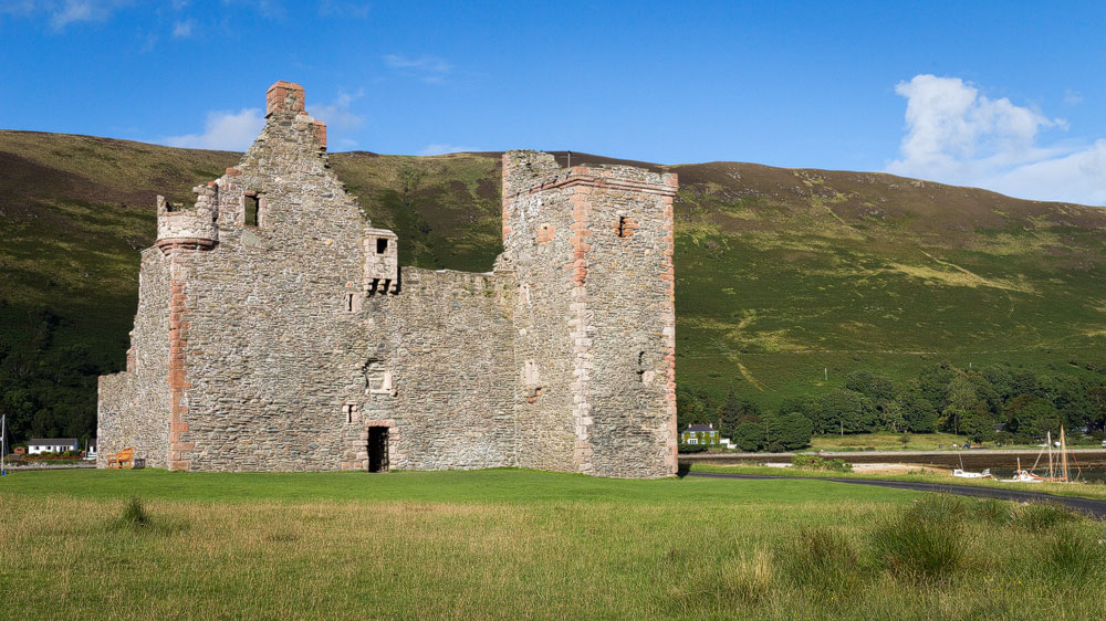
They too weren’t always kind to Arran’s population: they stole livestock and harassed women. According to legend, the anger this caused finally erupted against a band of English plunderers. Armed with pitchforks and hoes, some islanders cornered the raiders along with their loot and took their revenge. Place names such as Allt a’Chlaidheimh, “sword burn”, which ends at Clach a’Chath, “rock of battle” (today’s Cat Stone), still point back to the incident.
After these turbulent wars, the Isle of Arran was poor, and even the land’s new mistress, Duchess Anne, suffered under the fines she had to pay for her father’s role in the Civil War. Even so, Anne managed to secure reparations for the earlier plundering, among other things. She managed the estate skilfully and expanded the Hamiltons’ holdings on Arran.
Battered as the island was in the 17th century, the turmoil of the Jacobite risings up to 1745 passed it by almost entirely – it had simply stayed out of it.
Yet Arran couldn’t resist the pressures of economic reform forever. During the Highland Clearances, Alexander, the tenth Duke of Hamilton, had the land reorganised in the 19th century.
The result: farmers lost their land. They either moved to the coast, where they formed today’s settlements such as Brodick, Lamlash or Whiting Bay, or emigrated overseas entirely, to Quebec, for instance.
In the 60 years between 1821 and 1881, the population therefore fell by 1,870 people – almost a quarter of Arran’s population at the time. The famine caused by the potato blight of 1846 didn’t hit Arran as hard as it hit, say, the whole of Ireland, but it still added to the wave of emigration from the island.
With the Crofters’ Act and various political reforms, the British Parliament curtailed the power of the great landowners towards the end of the 19th century, including that of the Hamiltons on Arran. The island then became part of the administrative county of Bute, which from then on took care of infrastructure – which in turn benefited tourism.
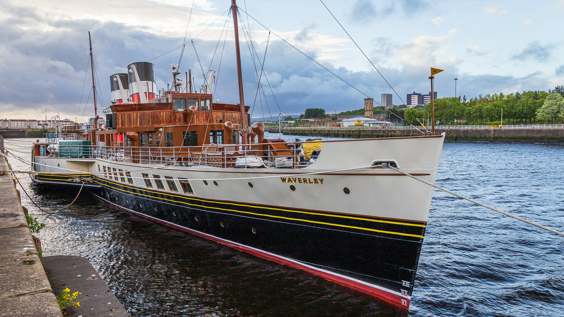
Part of this tourism was fuelled by the flourishing steamship trade out of Glasgow, which spread across the Firth of Clyde too. Even today, the last working seagoing paddle steamer, the Waverley, still calls at Brodick harbour.
Then came the two terrible World Wars. And once again, Lamlash’s strategic position with its sheltered bay proved its worth: convoys gathered here before crossing the Atlantic together – a tactic meant to protect them from attacks by German U-boats.
Besides the Navy, there was other interesting wartime activity on Arran too. The special forces unit “11 Commando” trained here for their operations, mainly close-quarters killing, armed and unarmed.
But Arran wasn’t only helpful in wartime. Its comparatively high mountains also posed a hazard for aircraft on their way to Glasgow. On 10 August 1941, 22 passengers aboard a Royal Air Force aircraft paid for that with their lives, when the plane crashed into Mullach Buidhe in the north of Arran.
After the wars, things grew quieter around Arran, partly because control of the sea mattered less and Arran’s strategically important position lost its significance. The population fell by a further 900 people by 1981, reaching its lowest level since the 18th century. Only after that did the population begin to recover.
Nature: Animals and plants on Arran
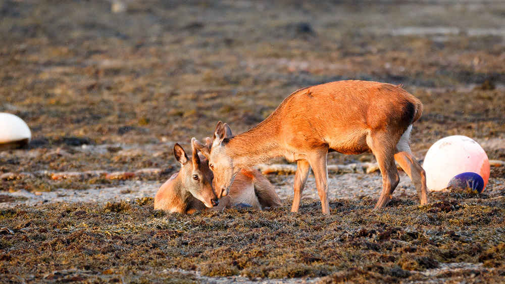
I’ve rarely seen so much red deer so close to people as on the Isle of Arran. At sunset during our visit to Lochranza, they came down from the mountains and lounged about in the seaweed of the bay, before taking over the golf course – while people were still out playing.
Behind our accommodation on Arran, we also spotted red squirrels darting about, sadly too quick for the camera.
If you look up, on a good day and with a bit of luck you might spot one of the golden eagles that make their home in the north of the island – good spots are behind the Arran Distillery and on the pass along the String Road. We weren’t lucky enough ourselves, but we did see plenty of the so-called “tourist eagles”. They get that name because many visitors mistake them for golden eagles, when in fact they’re buzzards.
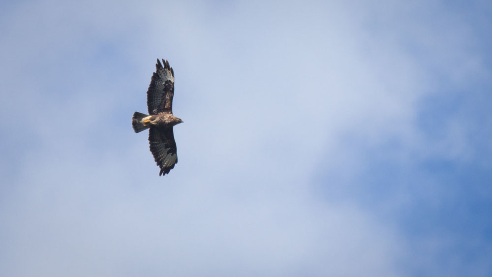
You’ll also find falcons, goshawks and plenty of smaller birds on Arran.
In the waters around Arran, otters, seals, dolphins and, occasionally, basking sharks can be seen swimming.
Arran’s vegetation is especially striking when the heather blooms, turning whole hillsides a vivid red.
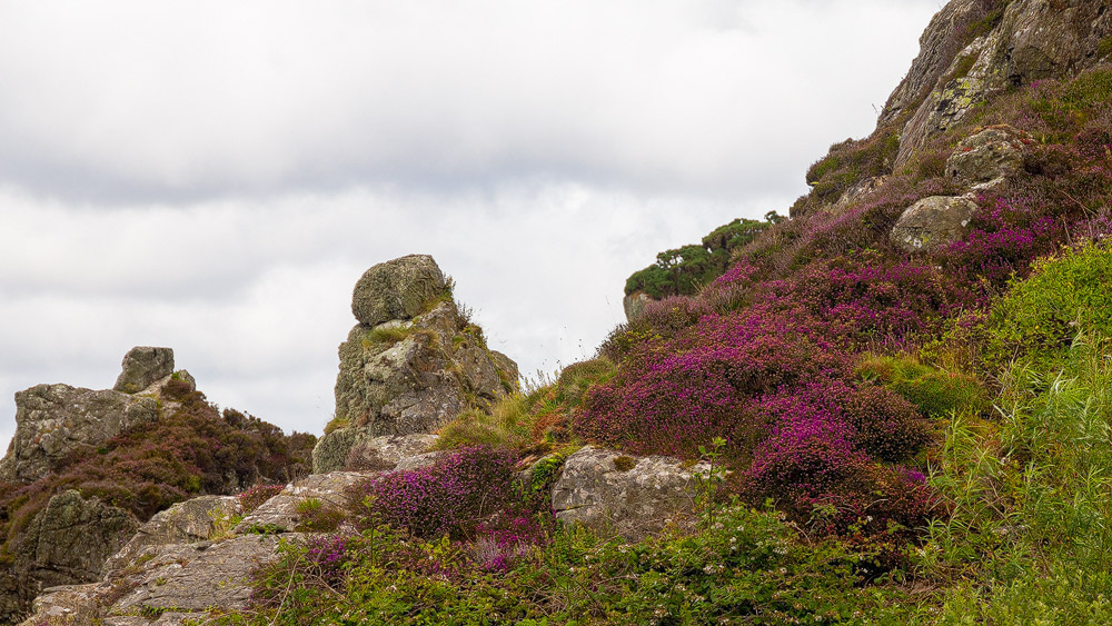
In between, there are wide stretches of bracken. You’ll also see gorse when it’s in yellow bloom. More flowers grow in the damp areas or along the coasts, including rhododendrons, irises, wild roses and many more.
On the east coast and in the north there are also extensive forests, some of which are used commercially.
Geology: James Hutton’s groundbreaking discovery
In 1787, a scientist set foot on the island who, with a small discovery, would overturn the understanding of the Earth at the time: James Hutton. He’s regarded as one of the founders of geology and later inspired, among others, Charles Darwin’s theory of evolution.
North of Lochranza he found a rock formation in which one layer sat at a completely different angle to the rest. Today this is called “Hutton’s Unconformity”.
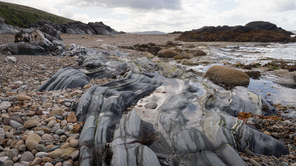
Hutton concluded that the lower layer had been eroded and altered over a vast span of time, while the straight layer above it was considerably younger. All in all, the Earth had to be far older than the 6,000 years calculated from the Bible.
The Isle of Arran took its present form around 600 million years ago. Continental drift brought its two halves together. The north of the island was once part of the landmass that today forms Canada.
If you approach Arran by boat from the east, you can clearly make out the island’s split character from the side: the Highland mountains to the north, the fertile hills of the Lowlands to the south. That’s exactly why people so often call it Scotland in miniature.

The Ice Ages, of course, further reshaped the island’s surface, as they did across the whole of Scotland. In the process, the flowing glaciers also carried huge boulders with them, such as the erratic Clach a’Chath, today mistakenly known as the “Cat Stone”. (While the Gaelic word “cat” does mean cat, the second part of the name actually comes from the Gaelic “cath”, meaning “battle”.)
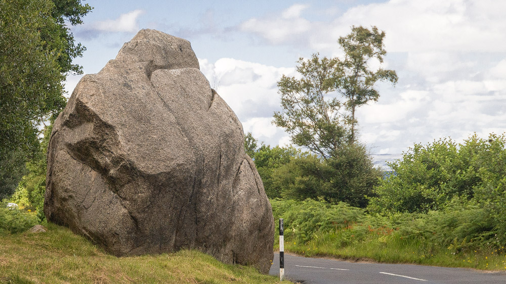
Even today, the Isle of Arran is still regarded as a paradise for geologists, as reflected on the Arran Museum’s website.
The main sights
First things first: you don’t need a detailed, carefully worked-out route on Arran. There’s a single ring road along the coast, roughly 92 kilometres or 56 miles long. In between, only “the String Road” cuts across the middle as a shortcut, along with another from Glenkiln to Sliddery in the south.
The String and the coast road, though, will get you to most of the places worth seeing. Both roads are mostly two lanes wide and comfortable to drive.
Brodick Castle
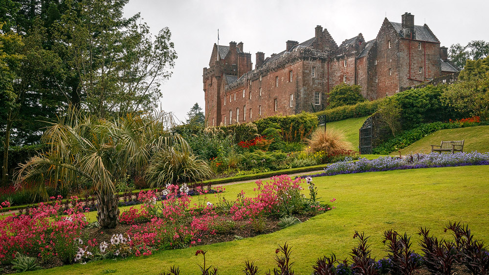
The island’s biggest attraction is Brodick Castle with its gardens. A good long walk here is well worth it – plan on half a day.
Goatfell
Also starting from Brodick, you can take on the hike up Goatfell. You’ll find route descriptions at Walkhighlands.
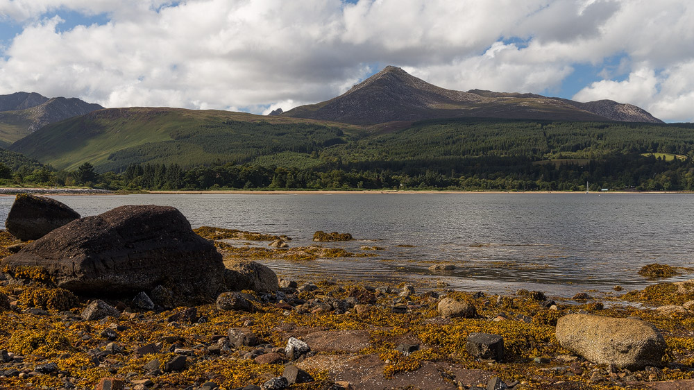
Lamlash
Aside from the wonderful view of the Holy Isle, in Lamlash you can see the Viking boat at anchor. It’s also fun to watch the locals crab fishing at the pier. We even got to hold one ourselves.
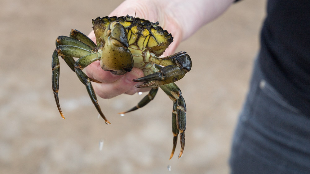
Incidentally, the crabs mostly end up back in the sea rather than in the pot.
The islands: Holy Isle, Pladda, Ailsa Craig
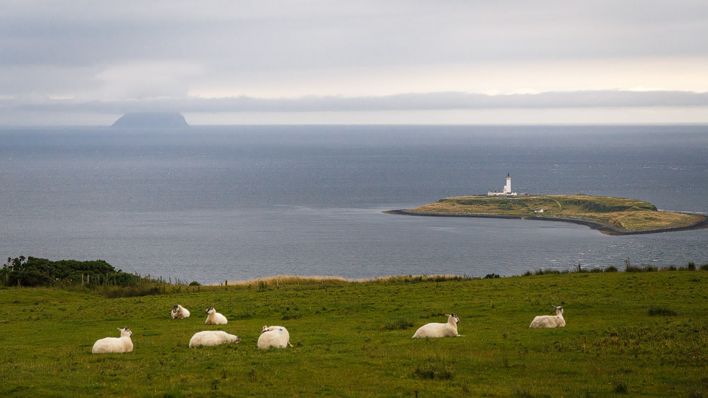
From Lamlash you get a lovely view of the nearby Holy Isle. Even better, visit it – for example with Lamlash Cruises. On the island you can see the cave of St Molaise. Today the island is used by a Buddhist monastery. More information here.
Alternatively, take on a longer trip altogether, such as to Ailsa Craig, the island south of Arran that most of the world’s curling stones come from.
West coast and King’s Cave
On the west coast you can simply enjoy the beautiful rocky shoreline – sandy beaches are rather scarce on the Isle of Arran. In return, near the village of Blackwaterfoot you’ll find King’s Cave, a cave where Robert the Bruce is said to have spent the night. It’s unlikely that’s actually true, but the walk out to the cave is well worth it regardless. Details can be found on the Walkhighlands website.
Machrie Moor Stone Circles
And of course the slightly longer walk out to the stones on Machrie Moor is a real highlight. Allow around an hour for it – the path is well maintained and stays flat throughout.
Old Byre
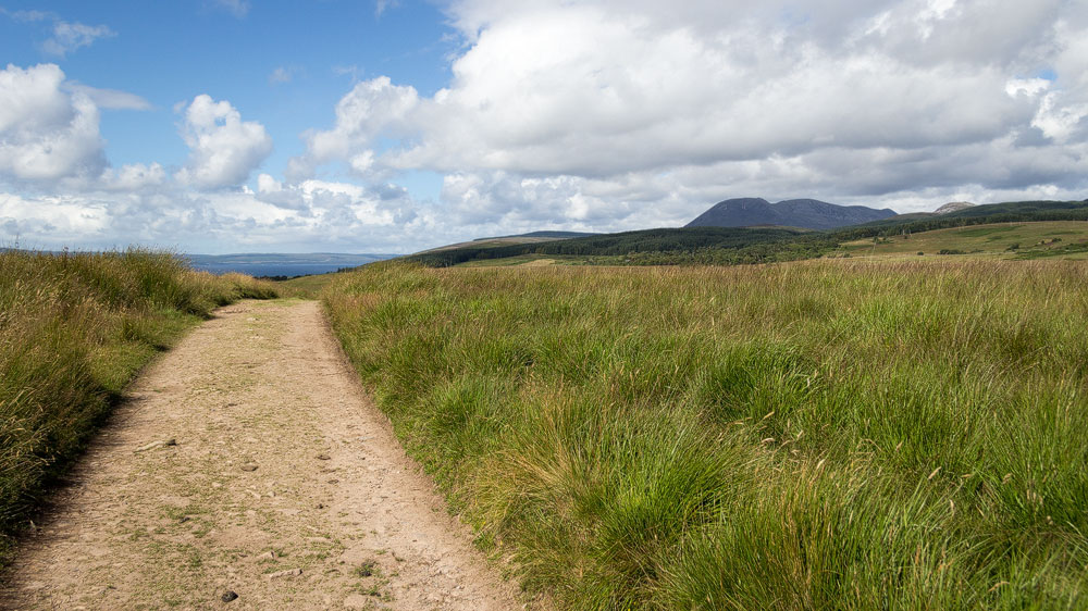
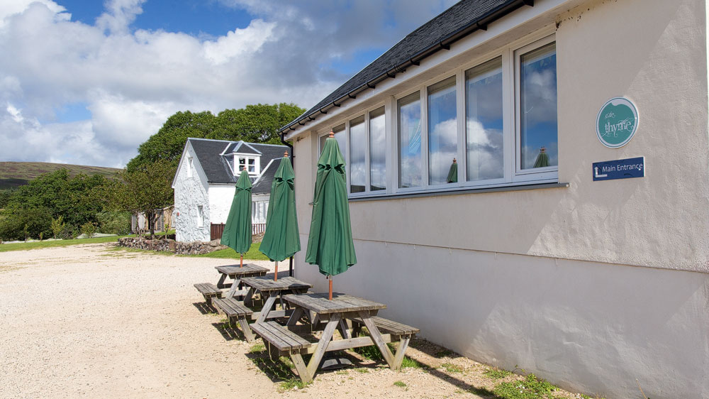
At the Old Byre showroom you can view and buy knitwear, sheepskins and more. Almost more important, though, is the excellent café and restaurant “Thyme”, where you can also enjoy a good evening meal. You get a lovely view of the sea and the Kintyre peninsula to the west. There’s a large playground for kids, too.
Twelve Apostles
Continue north from there and you’ll come across a striking terrace of houses. It’s called the Twelve Apostles and sits at Catacol, a little south of Lochranza.
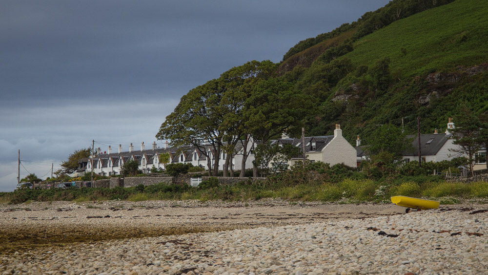
These terraced houses were built to house former farmers from the island’s interior during the Clearances. The idea was that they would then earn their living as fishermen instead. If you look closely at the houses, you’ll notice each of the upstairs windows has a slightly different shape. The reason: this way, fishermen out at sea could tell which house a light signal was coming from.
One thing to note: the houses are still lived in today. Please be respectful of residents’ privacy.
Lochranza & Arran Distillery
Lochranza sits in the north-west of the island. There you’ll find the picturesque castle ruin, which served as a model for the illustrations in the Tintin comic “The Black Island”.
After the ruin, you can follow up with a tour of the nearby whisky distillery.
Glen Chalmadale & North Glen Sannox
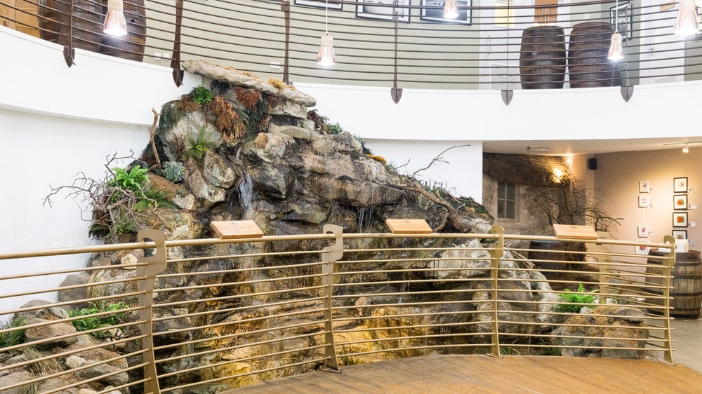
To get from Lochranza back to the east coast, you cross Glen Chalmadale. At North Glen Sannox, roughly the high point of the road, there’s a car park from which you can take a walk past a series of smaller waterfalls. There’s a description on Walkhighlands.
The String Road
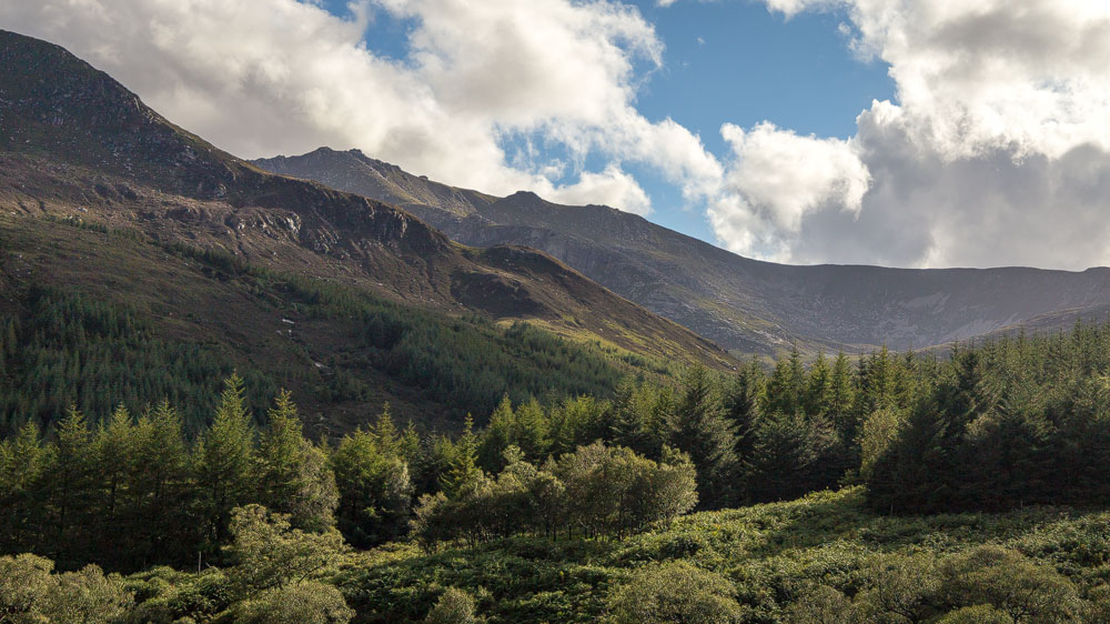
Either way, it’s well worth driving the route through the middle of the island by car. On the one hand, the view into the valley is beautiful; on the other, this is another great chance to spot eagles and buzzards.