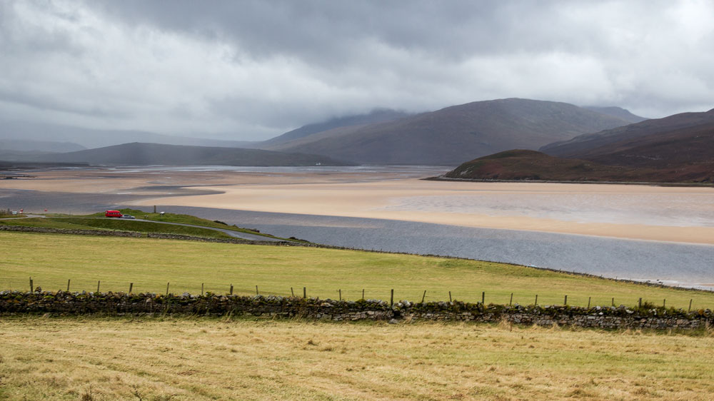
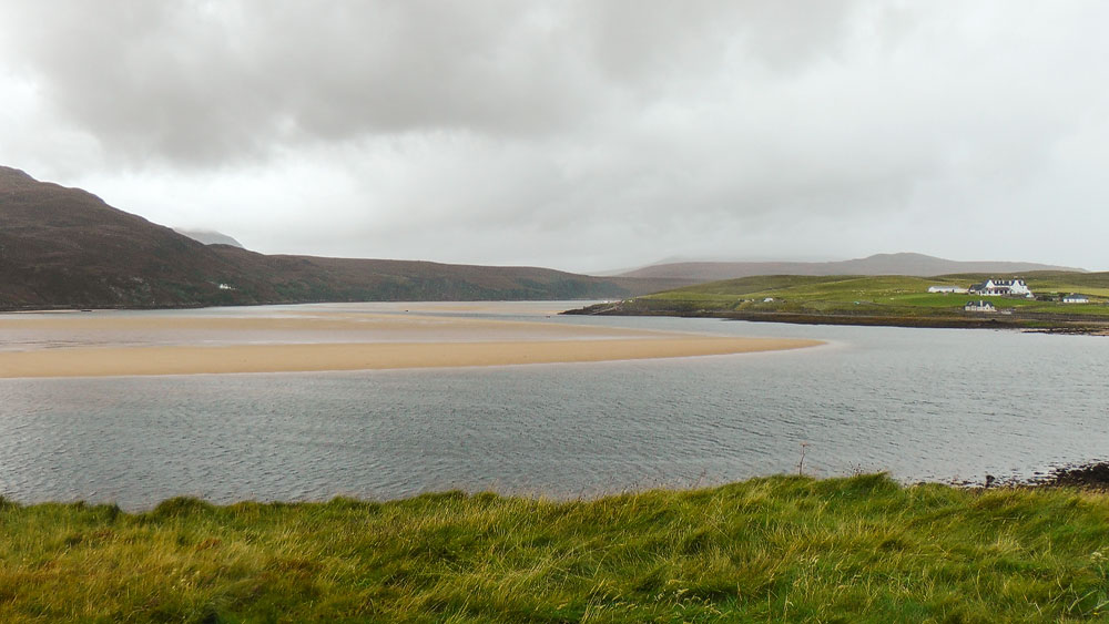
When the sea retreats, it leaves behind a desert of sand. The Kyle of Durness, right at the northern tip of Scotland, is one of the most beautiful bays in the Highlands.
Unlike its neighbour Loch Eriboll, the Kyle of Durness is extremely shallow, and once the tide starts to go out, the water drains from the bay very quickly. Underneath, it reveals wonderful red-gold sand that seems to stretch almost to the horizon.
Fringed by green grass, the Kyle of Durness nestles between gentle hills – thoroughly Highland in character. There’s also a precious rarity to be found here: in some places along the shore, the fertile machair has formed, that mix of sand and peat that allows all kinds of rare plants to thrive. They have little chance here, though, since the area is mainly grazed by the Keoldale Sheep Stock Club, an association of sheep owners who let their animals graze here. Keoldale is the only settlement on the shores of the Kyle of Durness.
The Kyle of Durness also forms a natural boundary, cutting off the peninsula to Cape Wrath from the rest of the country. Anyone wanting to see the striking landscape on the western shore of the Kyle, and the impressive cliffs beyond it, first has to cross the Kyle by ferry from Keoldale, before continuing on foot or by bus.
A trap for whales
What is a feast for the eyes for humans can turn into a death trap for marine mammals. When whales stray into the Kyle and the tide goes out, the animals can quickly find themselves cut off from the sea, risking being stranded on the sand and dying there.
A tragedy occurred as recently as 2011. Sixty pilot whales had pushed into the Kyle of Durness, and when the water disappeared, 35 of them were left stranded. The Kyle of Durness had become a whale trap.
But the people around the Kyle are far from indifferent to marine animals. They called in the aid of British Divers Marine Life Rescue, and together they did everything they could to keep the animals alive, or tried to move them into deeper water using inflatable pontoons. In the end, almost three-quarters of the group of whales could be saved.
Good to know: excavations and reconstructions
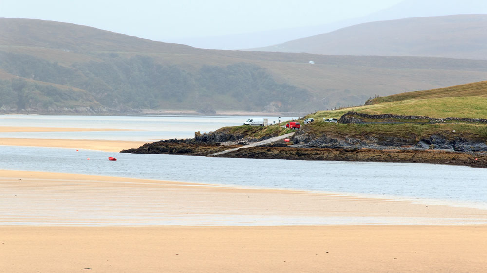
Above Keoldale, along the eastern shore of the Kyle of Durness, extensive excavations have been carried out in recent years, bringing to light an astonishing variety of finds. Around 30 sites have been investigated, roughly half of which date back to prehistoric times – these consist of pottery works and clusters of huts. Further remains show longhouses dating from the period after the Middle Ages and before the Clearances. Anyone interested can find a longer report here.
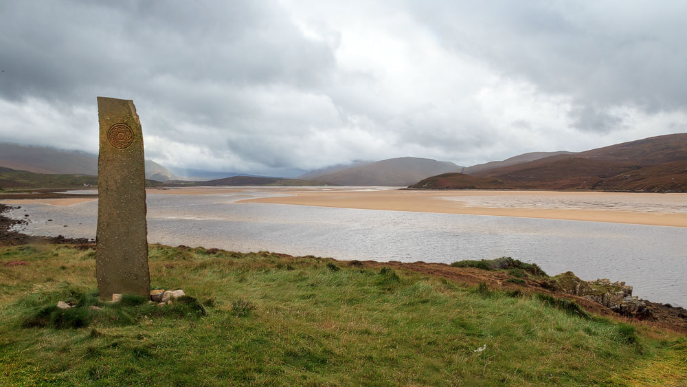
The stone stele standing at the viewpoint of the rest area on the A838, by the way, is the work of the Durness Youth Club. Like the stone at Duirinish on Skye, it was erected to mark the new millennium.
The word “Kyle” comes from Old Norse and denotes a strait or channel – you’ll find it, for example, in Kyle of Lochalsh and similarly named places. “Durness” was also introduced by the Vikings; it comes from “Dyrnes”, meaning roughly “headland of the deer”.
Tip: the view from the viewpoint
You get the best view if you park at the rest area by the turn-off to the ferry. This is also a great spot for a photo with the standing stone mentioned above, which makes for an excellent subject.
Getting there:
With sat nav: entering “IV27 4SN” will bring you to the shore of the Kyle of Durness, just a few hundred metres from the viewpoint.
Without sat nav: the Kyle of Durness lies directly on the A838, either just before or just after Durness. Since this is the only major road and the coastal route here, you’ll pass it automatically. The viewpoint is located at the turn-off to Cape Wrath and Keoldale.