Sometimes the journey is the destination – on the road to Hùisinis, drivers get plenty to see along the way. This scenic route builds up to its climax: an enchanting sandy beach.
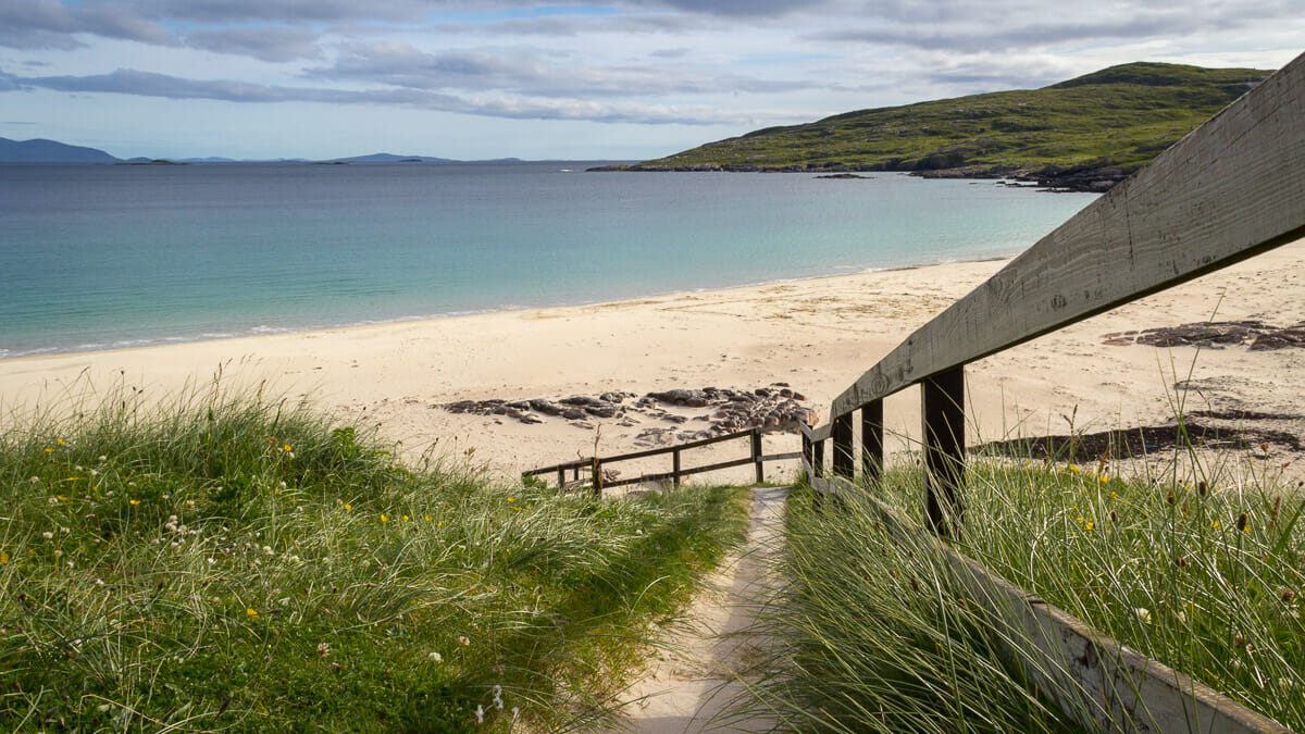
Leaving Tarbert, Harris’s main town, to drive towards Lewis, the road runs along the coast for a while longer. Then, just before it climbs into the mountains, a road branches off to the west. The sign points to “Hùisinis”. Follow that sign and you’ll discover a part of Harris that’s rarely visited, but wild and beautiful.
The road first passes through the small settlement of Bun Amhainn Eaddara (or Bunabhainneadar, Bun Abhainn Eaddara, Bunavoneadar – the spelling changes depending on which map you consult).
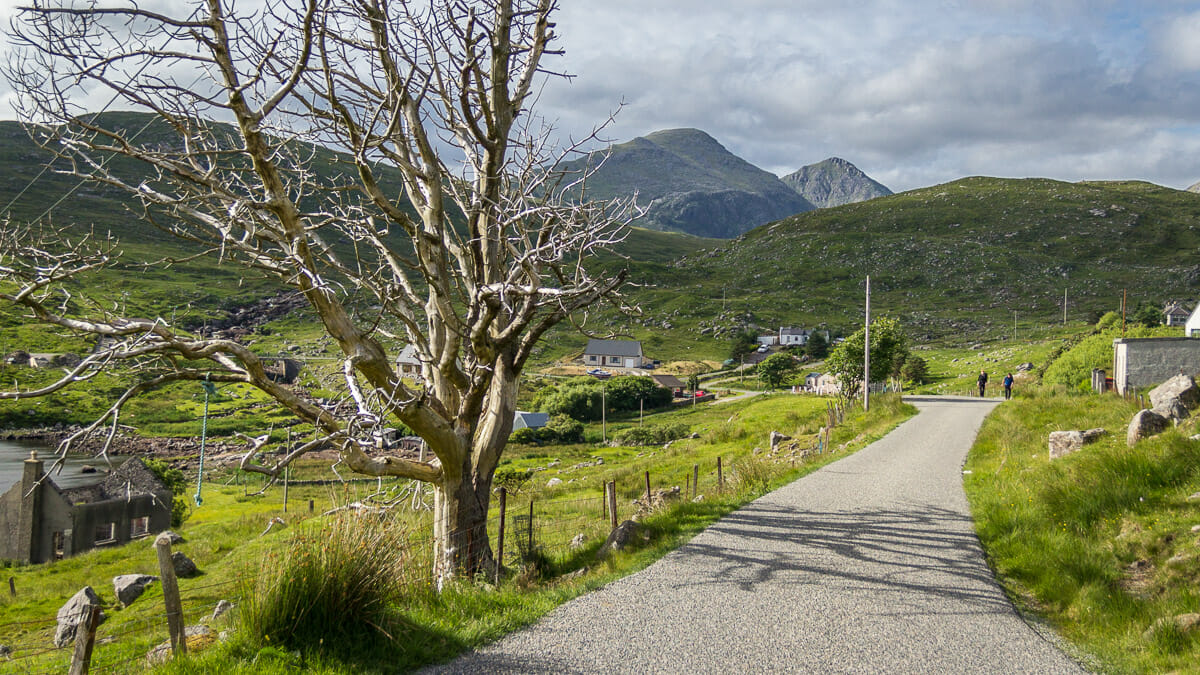
Once this dead tree appears, you can spot a strange, isolated red-brick chimney down by the sea.
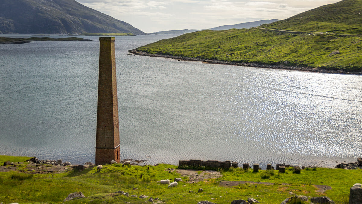
It’s all that’s left of the former whale-processing factory on Harris.
While the single-track road had behaved itself fairly well up to this point, the demanding part begins after the village: the road broadly follows the coastline, but repeatedly takes a shortcut across a headland. It can also suddenly throw the driver into a hairpin bend or over a blind summit with no view of oncoming traffic.
The passenger, however, can enjoy themselves, since the full wild beauty of Harris’s mountains and coastline is revealed to them all at once.
The driver gets a brief respite around Amhuinnsuidhe Castle.
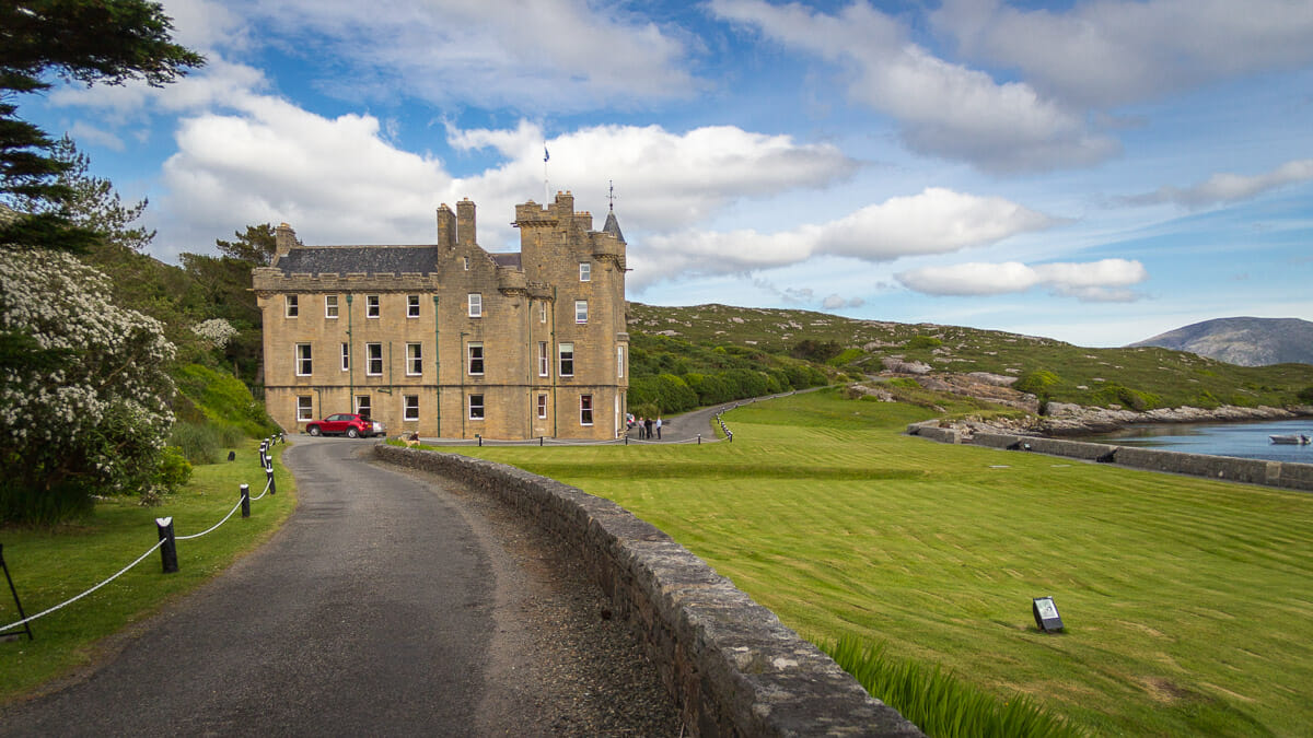
Because after passing through the gate and winding through the gardens, the road briefly becomes a little more manageable. At this point you’ve covered about two-thirds of the route.
The road finally reaches its destination: Hùisinis, a beach and a handful of scattered houses.
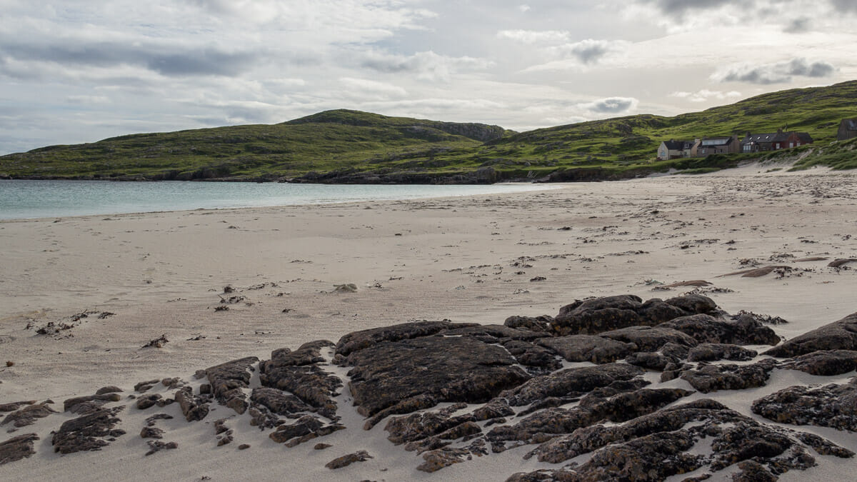
Since 2017 there’s also been the Hùisnis Gateway here – a modern little building with toilets and showers, plus an information area. It also has a car park.
A staircase leads down to the beach, where visitors can enjoy sand, sea, and – if there is any – sunshine. Either way, drivers can then head back refreshed along the same road, since there’s no other way here.
Good to know: About Hùisinis and its meaning
Hùisinis is Gaelic, and as usual it’s pronounced quite differently from how it’s written. In English it became “Huishinish”, which does capture the pronunciation – the “s” sounds are pronounced “sh”. So roughly “Hoo-shi-nish”. The “-nis” contains “ness”, which comes from Old Norse and denotes a headland jutting into the sea. Hùisinis therefore roughly means “headland of the house”.
The village of Bun Abhainn Eadarra (the village sign reads “Amhainn”, an older Gaelic spelling) again has its English phonetic equivalent: Bunavonedarr. It simply means “mouth of the River Eadarra”.
Amhainnsuidhe would technically also be spelled differently in correct modern Gaelic: Abhainn Suidhe. Translated: “River Suidhe”, pronounced roughly “soo-yeh”. “Suidhe” can mean “seat”.
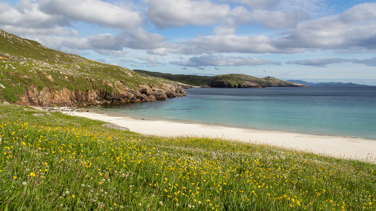
Tip: A walk to the other side of the headland
If you’ve got the time and the inclination to stretch your legs a bit further, you can take a walk to the other side of the headland. From there, the island of Scarp comes into view. And if you’d like to go even further, you can continue on to the beautiful beaches of Loch Crabhadail. The round trip is said to be around seven kilometres, and a description and route can be found on the Walkhighlands website.
Personal note: At first we didn’t want to
We were actually running late already, and wanted to press on to Uig on Lewis. Before that, we’d arrived by ferry from North Uist and had already been walking on the beach at Scarista. We very nearly skipped the detour to Hùisinis – good thing we didn’t. Admittedly, the road was genuinely exhausting for us that late in the evening. But it was well worth it, for all that view alone.
Getting there:
With sat nav: enter the postcode “HS3 3AY” and follow the road to the end.
Without sat nav: from the A859, the main road running through the islands of Lewis and Harris, the B887 branches off to Hùisinis near Tarbert. From there, you really can’t take a wrong turn.