The Highlands as a backwater? Hardly! In the Middle Ages, Gaelic Scots ruled the sea above all else. How and when, you’ll find out here.
This article is also available as a podcast and video. Listen and watch here:
Warriors in kilts in green glens between rugged mountains – that’s the romantic image of the Highlands lodged in so many of our heads. But in truth, the medieval Highlanders ruled the sea and the islands far more than they ruled any land. How did they manage that? This article focuses on that rather unknown chapter of history – this little-known maritime realm.
Background: How researchers gained new insight
Isle of Barra, 2002: archaeologists from around the world gather. They discuss the state of research into the medieval period on Scotland’s west coast. A speaker named Iain MacNeil is blunt with his colleagues: their work, he says, is too inconsistent, too imprecise, too poorly connected. Entirely new approaches are needed.
His words did not go unheard.
Barra, 2015: the researchers meet again. This time, they bring entirely new findings about the era with them. The book with the catchy title “Castles and Galleys: a reassessment of the historic galley-castles of the Norse-Gaelic seaways” collects the papers from this conference and opens a window onto another world – a maritime realm in western Scotland that existed for roughly 500 years.
Presentism: why we think of the coast as a backwater
Scotland’s centre today lies in the region between Edinburgh and Glasgow. That’s where the planes land, and that’s where the major transport routes begin. The further you get from there, the smaller and sparser the roads become. Eventually, travellers even have to switch to ferries and spend hours crossing the sea. The feeling this creates: coasts and islands are far away from Scotland’s centres.
The problem is that this is presentism at work. We judge the past through the lens of the present. But what if a different mode of transport had once moved goods and people fastest in the Middle Ages? What if ships were the quickest means of transport? Suddenly, the inland towns would be the real backwater.
For today, let’s treat the sea lanes and the coasts as the centre.
The realm: where the Highlanders ruled the sea
Once, a cultural and trading zone stretched in the south from the Isle of Man all the way north to the Isle of Lewis. To the west lay the coast of what is now Ireland, to the east the coast of what is now Scotland. All of it formed a single area united by one language: Gaelic. It was, in other words, a Gàidhealtachd – a Gaeldom. Today we tend to just call it “Highlander”, in a rather misleading way.
The era: the Middle Ages in the Highlands
When exactly did the “Highlanders” – or rather, the Gaels – come to rule the sea? Pinning down a starting point is tricky. Lively shipping traffic and Gaelic culture had already existed for a long time, through the kingdom of Dàl Riata.
Around 800 AD, though, there was a turning point. That’s when the Vikings arrived with their superior boats. They raided, conquered, settled, and for a while turned everything thoroughly Norse.
Over time, though, Gaelic language and culture crept back into the region. A Norse-Gaelic society emerged, ruling the islands and coasts. From this society grew the western Highland clans. Well-known kindreds such as MacNeil, MacLeod or MacDonald all carry a substantial share of Norse blood in their veins.
One possible fixed point for the start of this island realm was set by the warrior Somerled. In the 12th century, he founded a “Kingdom of the Isles”. He was also the ancestor of Clan Donald, who later formed the Lords of the Isles.
And it wasn’t until the early 17th century that this power at sea was finally broken.
The ships: the bìrlinn and the long-fhata
So what held this maritime realm together? For one thing, decent means of getting around – ships, in other words. But what kind of ships were they? Here’s the thing: we don’t know exactly. Because no example from that era has survived. At least, none has been discovered yet. So keep your eyes open if you’re ever on the coast. Even so, researchers do have written sources to go on.
These mostly speak of the bìrlinn, often also called the “West Highland galley” in modern usage. The bìrlinn was an all-rounder, carrying goods and people alike – and also a status symbol for many clan chiefs. Sometimes the sources also mention the “long-fhata”, a larger vessel often used in warfare.
Worth noting: in Gaelic, “long” means “ship” and “fhata” means “long” – hence “long-fhata”!
The bìrlinn had a wooden hull built in clinker fashion, meaning the planks overlapped and were riveted together. Bìrlinns had a single mast with a square sail. There were no decks, however – only several benches for rowing.
Bìrlinns were probably a further development of Viking boats – and they looked fairly similar, too. But unlike Viking boats, they already had a fixed, centred rudder at the stern. The sail was raised when there was wind out on the open sea.
In calm weather, or when navigating lochs that led inland, the crew had to row. Accounts tell us that they sang “iorram” while doing so – rhythmic songs that helped keep time while rowing. One poet went so far as to describe Scotland as Alba eathair-bhinn – “Scotland of the melodious boats”.
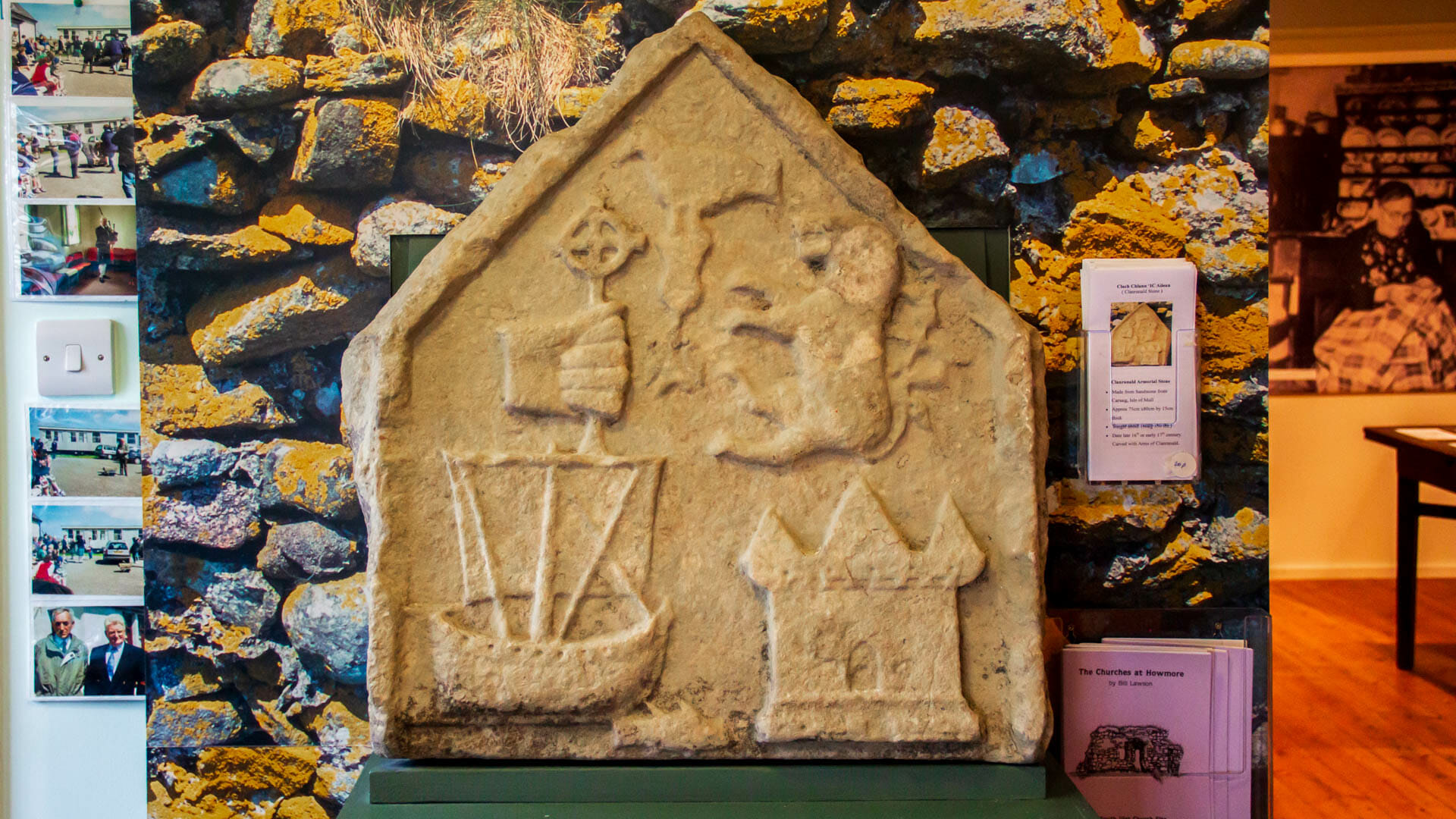
We know all this from written sources. Depictions of ships from the period, by contrast, are rare and not very accurate. But they do exist – for example, on the Clanranald heraldic stone.
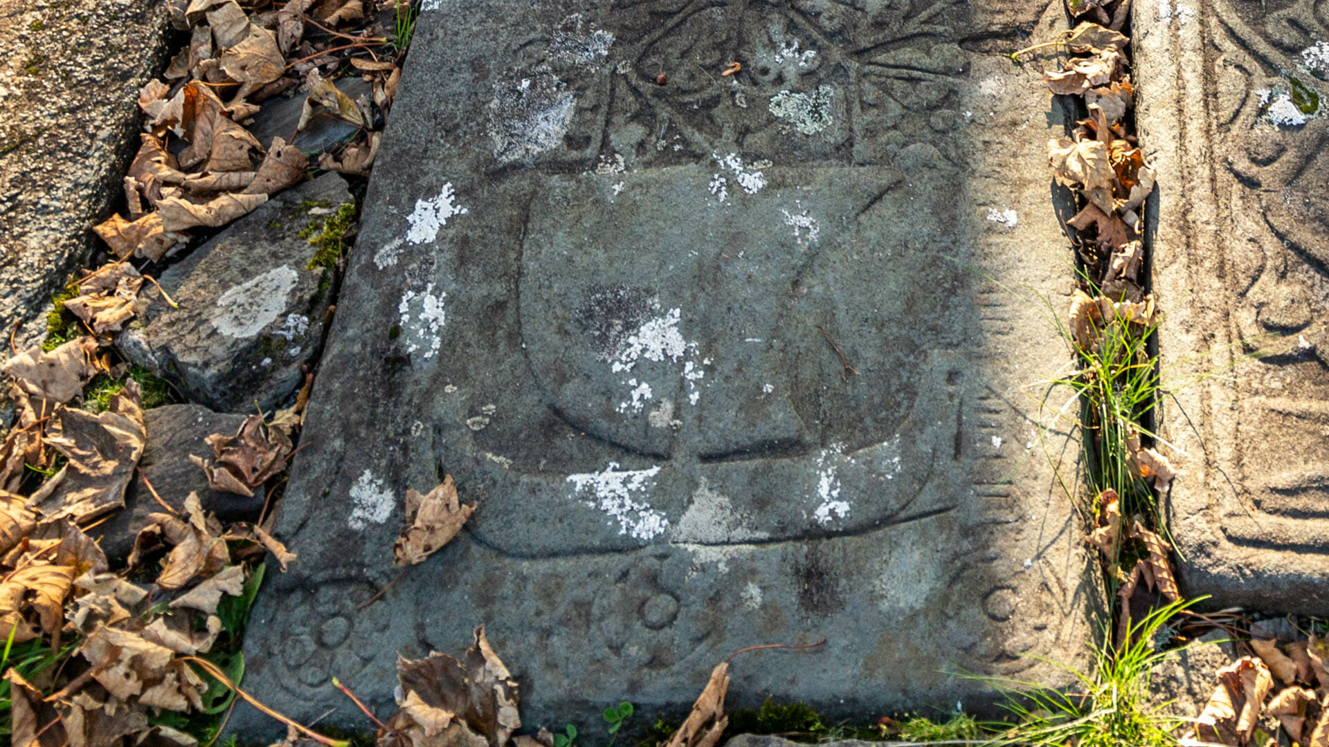
And also on many stone grave slabs from the period.
Or on the seal of Islay, which you can see at the island’s museum.
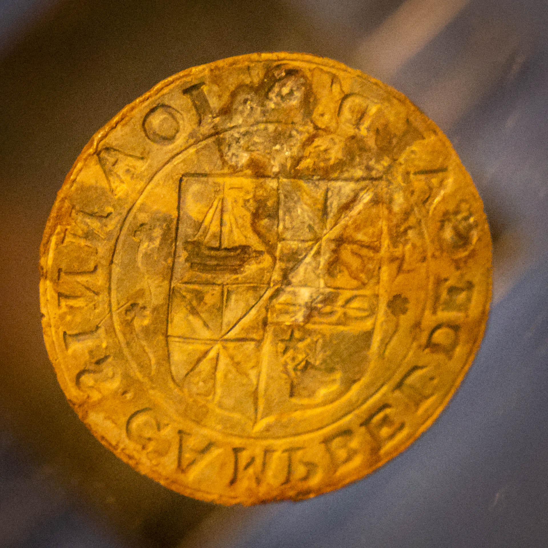
These depictions are mostly stylised and give only an impression of what the ships looked like. Even so, some people have managed to draw real conclusions from them.
An Aileach: the bìrlinn experiment
Now a particular kind of science comes into play: experimental archaeology. In 1991, a group of people teamed up with Clanranald, pooled the available sources, and attempted to build as faithful a replica of a bìrlinn as possible. To do this, they combined the surviving images and texts with the expertise of boat builders.
The result was the bìrlinn “Aileach”, named after a Scottish princess who, around 1,500 years ago, sailed from Scotland to Ireland to get married.
With various crews, the Aileach sailed around the former island realm right up until 2016. From her many voyages, the crews gained a wealth of insights – for instance, how fast people could travel in a bìrlinn. In a strong wind, with all 16 oars manned, the Aileach, crewed by a not particularly experienced team, managed a speed of 12 knots.
One knot is roughly equivalent to 1.85 km/h, so she was travelling at around 22 kilometres per hour. When they couldn’t sail, rowing got them to around 5 to 6 km/h – a decent result for a fairly inexperienced crew.
Comparative figures from the replica Norse longship “Havhingsten” point to even greater potential. In tests, it reached more than 15 knots – around 28 km/h in good wind.
That doesn’t mean they travelled that distance as the crow flies, of course. Sailing ships often tack, following a zig-zag course. There might also have been a need to head for an anchorage that wasn’t in a straight line. Most journeys within the realm could be made as day trips, often in stages, or occasionally overnight when heading to the Outer Hebrides. From written sources, we know that a fully loaded trading ship of the time took a day to travel from the Isle of Man to Dublin – roughly 125 kilometres as the crow flies, a solid achievement for the period.
That might sound impressive, but the crew had plenty of other challenges to contend with. Navigators had to watch the tides and winds, and had to know the dangerous currents and shallows. A single mistake could quickly cost lives. Seafaring was, and remains, dangerous.
At least the crews could rest between November and March. Winds that were too strong, and days that were too short, made voyages unattractive during this period. During this time, the bìrlinns stayed in sheltered harbours, or sometimes even in a freshwater loch – which conveniently also killed off the saltwater parasites that had attached themselves to the hull over summer.
Back to the Aileach once more: through her, crews were able to gather a wealth of practical knowledge. Today she has been retired and found a home at the Kildonan Museum on South Uist.
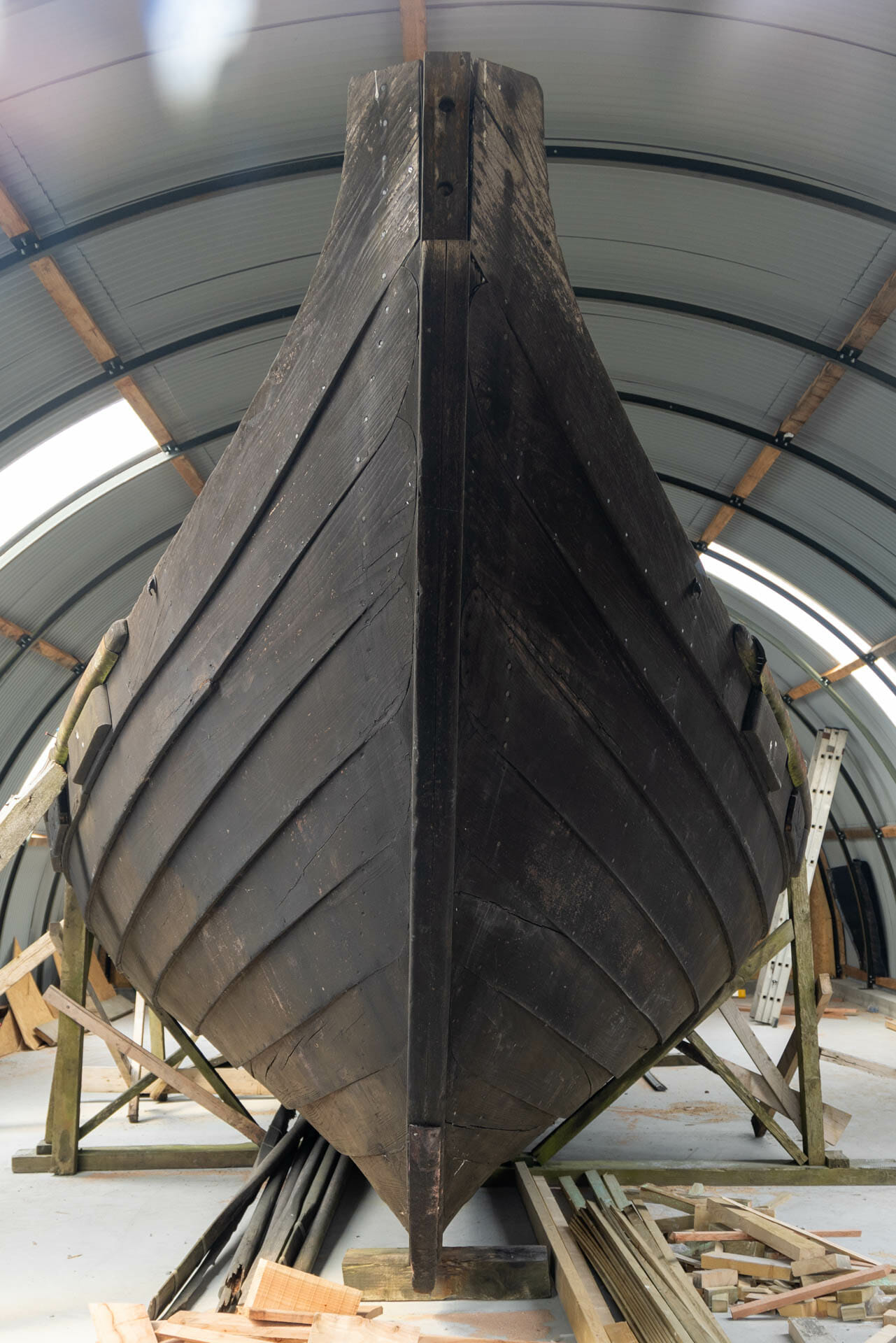
Does this mean no bìrlinn sails the seas any more? Not quite. The GalGael Trust in Glasgow built two smaller bìrlinnean at the turn of the millennium: the “Gift of the Gaels” and the “Orcuan”.
So the Gaelic bìrlinns, in their way, still sail today.
The fortifications: galley castles
Transport was one part of the story. But the boats also needed infrastructure: safe harbours for loading and unloading, bases, and the seats of clan chiefs who provided protection. Alongside the boats, a distinct type of castle therefore developed, known as “galley castles”.
Iain MacNeil and his colleagues defined several characteristic features: all of them face towards the sea, all were built with lime mortar between roughly 800 and 1600, and all served a typical purpose – such as trade, communication or warfare.
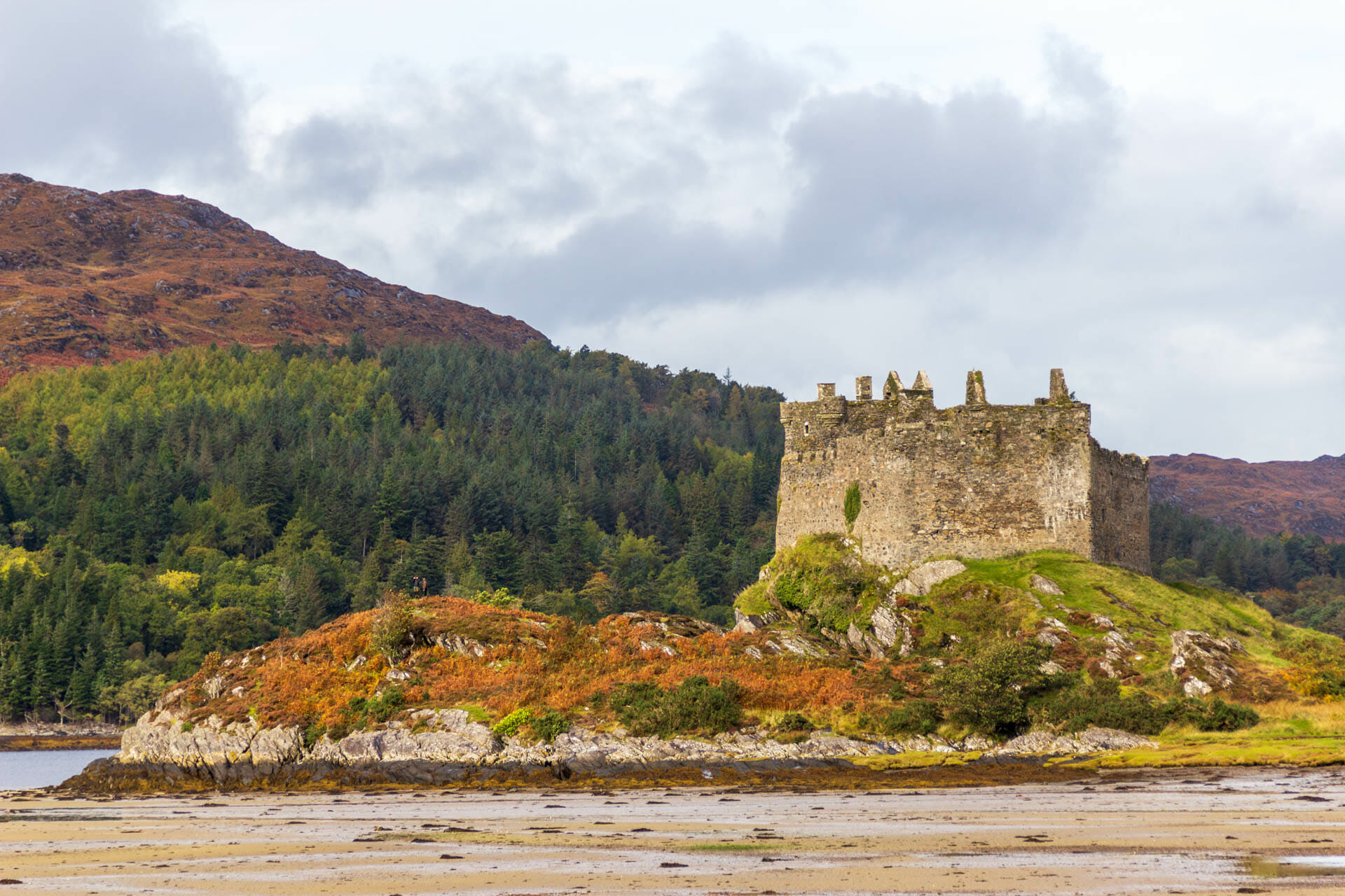
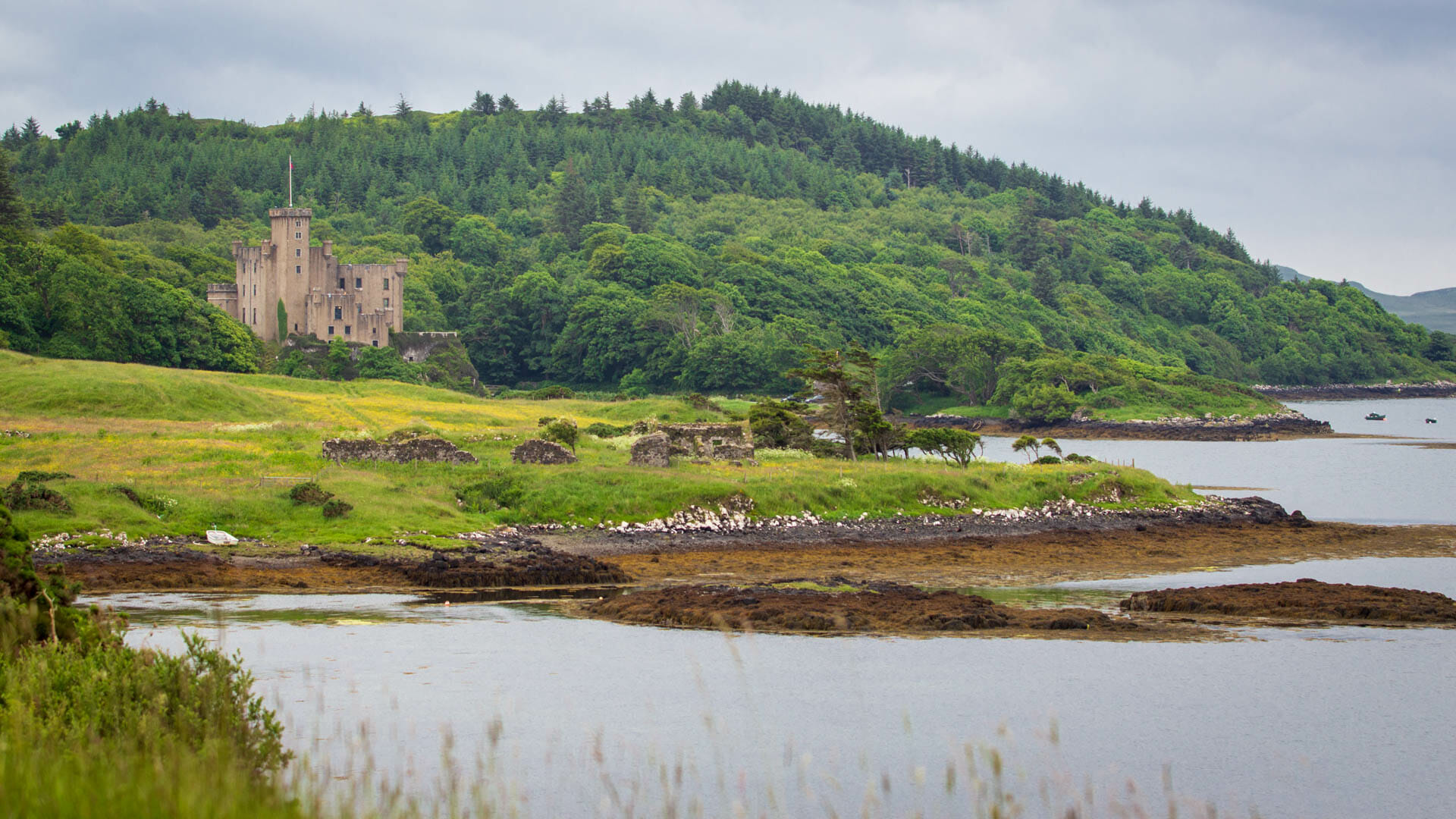
Castles like these, and similar ones, are scattered along the entire west coast and across the Hebrides. Just a small selection…
Castle Tioram in Moidart:
Dunvegan on the Isle of Skye:

Aros on Mull.
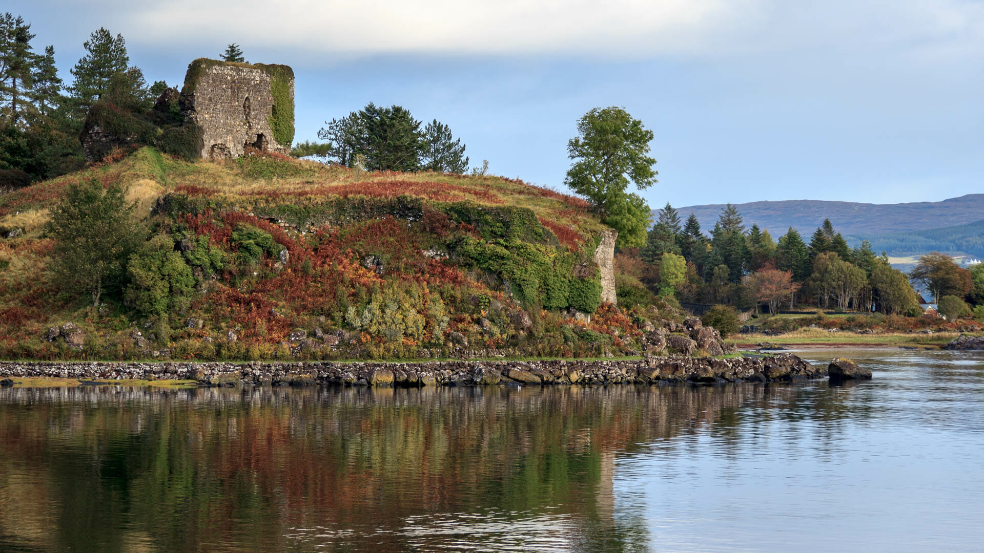
are just a few of the castles considered galley castles.
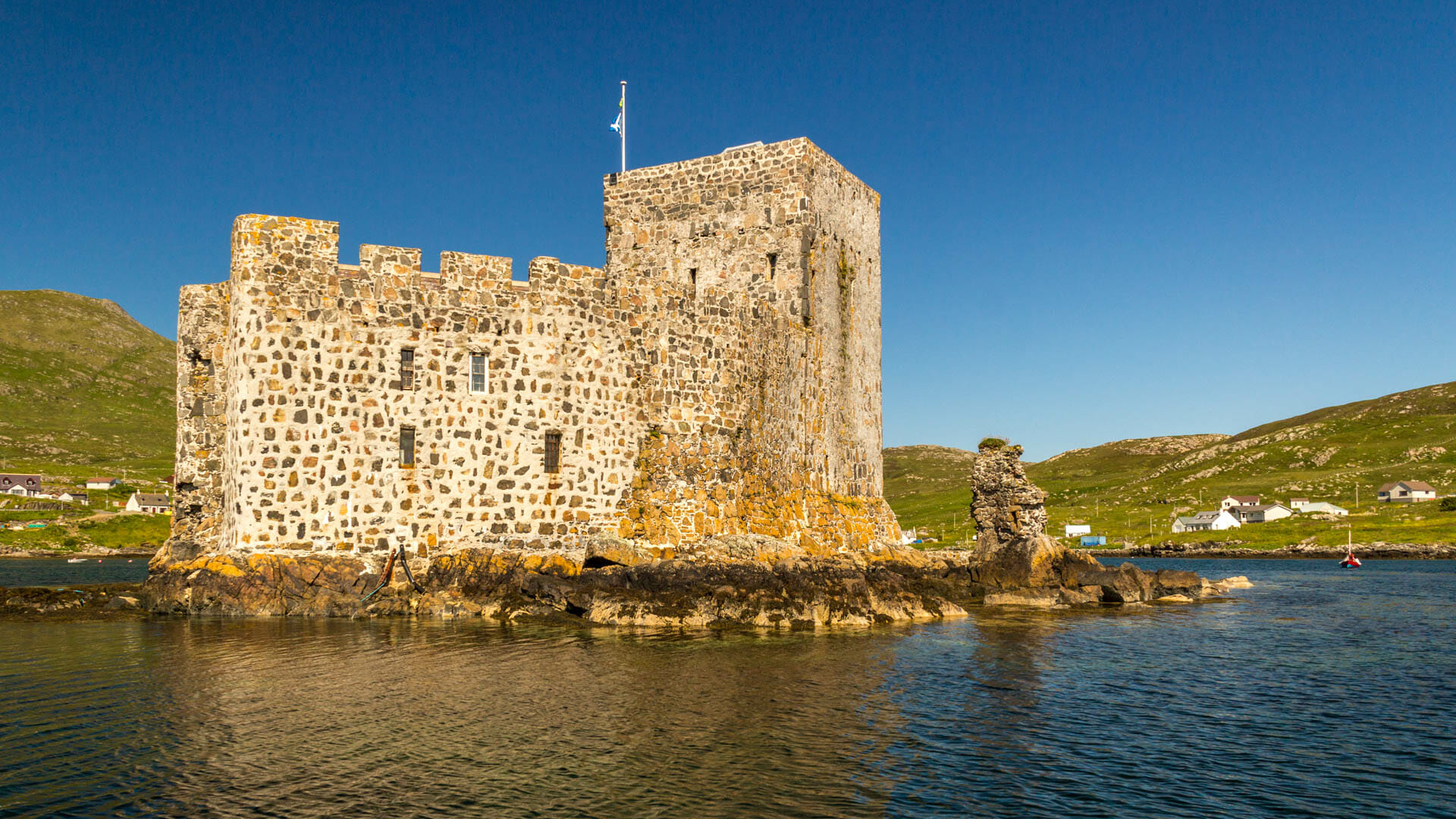
A truly classic galley castle is Kisimul on Barra – which is also why the conferences were held there. Kisimul dominates a bay and can only be reached by boat. The remains of an old house still stand against its walls, where the galley’s crew was once housed. A stone basin was even built specifically for the ship – essentially, the chief’s own parking spot.
But be careful: galley castles were by no means always intended as defensive strongholds.
Galley castles: not built for war alone
One paper from the book examines Dunyvaig Castle and Claig Castle, both on or near the island of Islay. Both fit the definition of a “galley castle” – and yet they likely served quite different purposes.
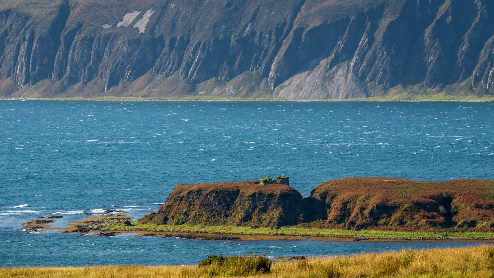
Claig keeps watch over a strait between Islay and Jura. But intercepting ships from there would hardly have been possible. Researchers therefore suspect it functioned instead as a kind of toll station, visited voluntarily, and as a safe mooring where ships could wait for the current in the narrow Sound of Islay – the strait between Islay and Jura – to turn.
Dunyvaig, by contrast, was long regarded as a lordly residence and stronghold. But new research shows that the site was more likely used as a commercial storage facility for a larger harbour. Its architecture is otherwise difficult to explain.
The bay of Lagavulin, in any case, makes an excellent harbour. It seems likely that this is where merchants unloaded goods, which were then transported inland to the seat of the Lords of the Isles. Wine and fish were likely among the main goods involved.
The findings about these two castles point to something very important: they prove that the Gaelic realm was not simply wild, uncontrolled and warlike. Instead, they show that the Gaels ran structured, secure trade.
Gaelic clothing: no kilt in sight
Let’s talk for a moment about the people who inhabited this realm of bìrlinns. What did they actually look like?
First of all, put any image of “Braveheart” firmly out of your mind. Its costumes had NOTHING to do with the Gaels or Highlanders of that era. Kilts didn’t appear until the 16th century. Hardly any man of that time wore long hair braided with jewellery, and there was certainly no face paint.
What we can picture of the Gaelic warriors’ outfit comes from reliefs on medieval grave slabs. These can still be seen today on Hebridean islands such as Islay or Oronsay.
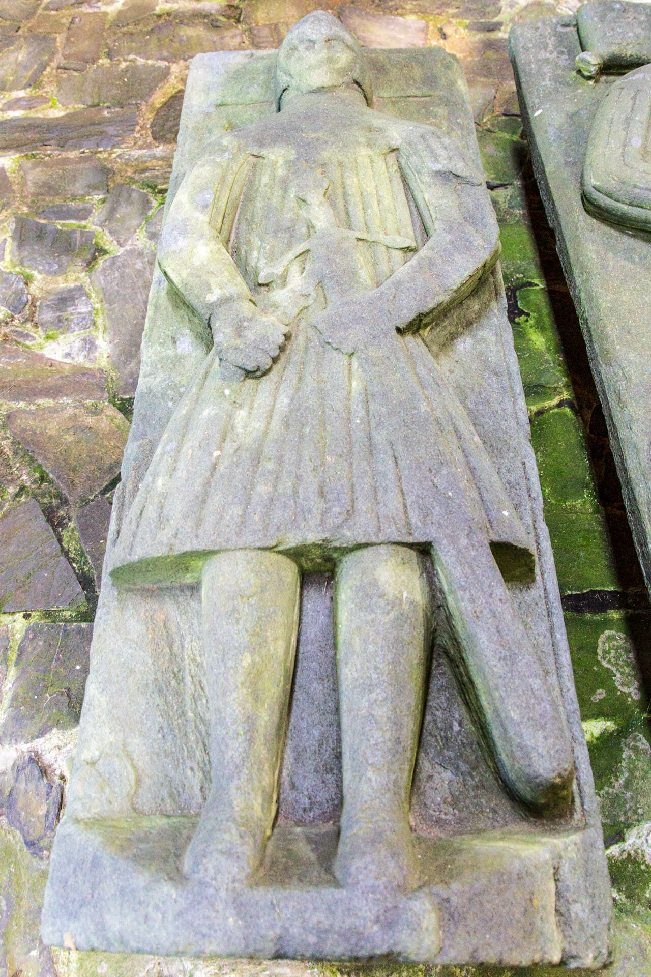
These graves teach us the following about the warriors of that time: a helmet protected the head, cheeks included, and tapered to a point at the top – in German, this type of helmet is called a “Beckenhaube”. A quilted coat reaching down to the knees, known as the aketon, covered the body. Some may have worn chainmail underneath it as well. Sword, axe or spear were the weapons of choice.
With the “bìrlinnean”, these fighters could reach anywhere within the realm. Some Gaels travelled even further, serving as mercenaries in other countries. There, they became known as “gallowglass” – “gallóglaigh” in Gaelic means “foreign warriors”, in other words, mercenaries.
But enough about the fighters – let’s return to everyday life and its clothing.
Men wore a simple, long linen shirt called the “lèine”. Its hems may have been decorated with embroidery, but otherwise it was white or beige. A belt around the waist usually held the garment in place. By gathering the fabric above this belt, men could vary the shirt’s length, from knee-length to even shorter. To waterproof the garment, some even greased their shirt with fat.
Whether this was common among sailors specifically is unclear. Warmth came from the “brat” – a square blanket worn over one or both shoulders, held together with a brooch. Depending on how it was worn, the wearer could even pull it up over the head as a kind of hood. Sometimes, especially in winter, men also wore “triubhas” – simple trousers.
Women also wore a “lèine” reaching down to the ankles, along with their own “brat”. Women’s clothing was also often more elaborately decorated.
So, as we can see, kilts and tartan patterns played almost no role at the time. That’s a development that only emerged from the 17th to the 18th century.
Decline of the sea kingdom: how the end came
Let’s sum up: in the Middle Ages, the Gaels ruled relatively undisturbed over an area spanning the coasts and islands of western Scotland. Their ships were fast and agile, they had a network of castles, and they possessed a deep knowledge of seafaring. There were certainly warlike elements, and piracy too, but many lords focused instead on organised trade.
That has little to do with the image of the Highlands as a backward region. So what happened to make this structure collapse?
Several factors were at play. First came the dismantling of the Lords of the Isles in 1494. This well-organised island realm, and Clan Donald with it, had become a thorn in the Scottish king’s side. Once the Lords were stripped of their power, the clans fought amongst themselves even more. Even so, the overall structure held.
The Scottish king intervened again: in the Statutes of Iona, from 1609 onwards, and in subsequent laws, he regulated a number of things intended to bind the Gàidhealtachd, the Highlands, more closely to the Lowlands.
Wine could now only be bought from the Lowlands. Clan chiefs also had to make an annual pilgrimage to Edinburgh. The chiefs’ children were to receive an English education. All of this shifted the centre of action and thought away from the west coast. Further agreements in later years also affected the bìrlinnean: each clan chief was now permitted to own only one.
Eventually, the chiefs aligned themselves more closely with the Scottish king and had to give up their military power. The once-central Gàidhealtachd was reduced to the margins of Scotland.
During the Romantic era, with the works of Walter Scott and Robert Burns, the image of the Highlander as we know it today was born.
Wearing a kilt, in green glens, between rugged mountains.
Sources
- Castles and Galleys: a reassessment of the historic galley-castles of the Norse-Gaelic seaways, Paula Martin
- Adventures of Aileach, The Story of a West Highland Galley, Wallace Clark
- AILEACH BUILDING APPEAL HISTORY BACKGROUND
- The Evolution of the Kilt — From Ancient Times to 1600 – Reconstructing History
- Having the right kit: galloglass fighting in Ireland
- Rüstung und Waffen – Aketon
- Our story | GalGael
- Goodare, Julian. “The Statutes of Iona in Context.” The Scottish Historical Review, vol. 77, no. 203, 1998, pp. 31–57. JSTOR, http://www.jstor.org/stable/25530804. Accessed 27 Aug. 2023.